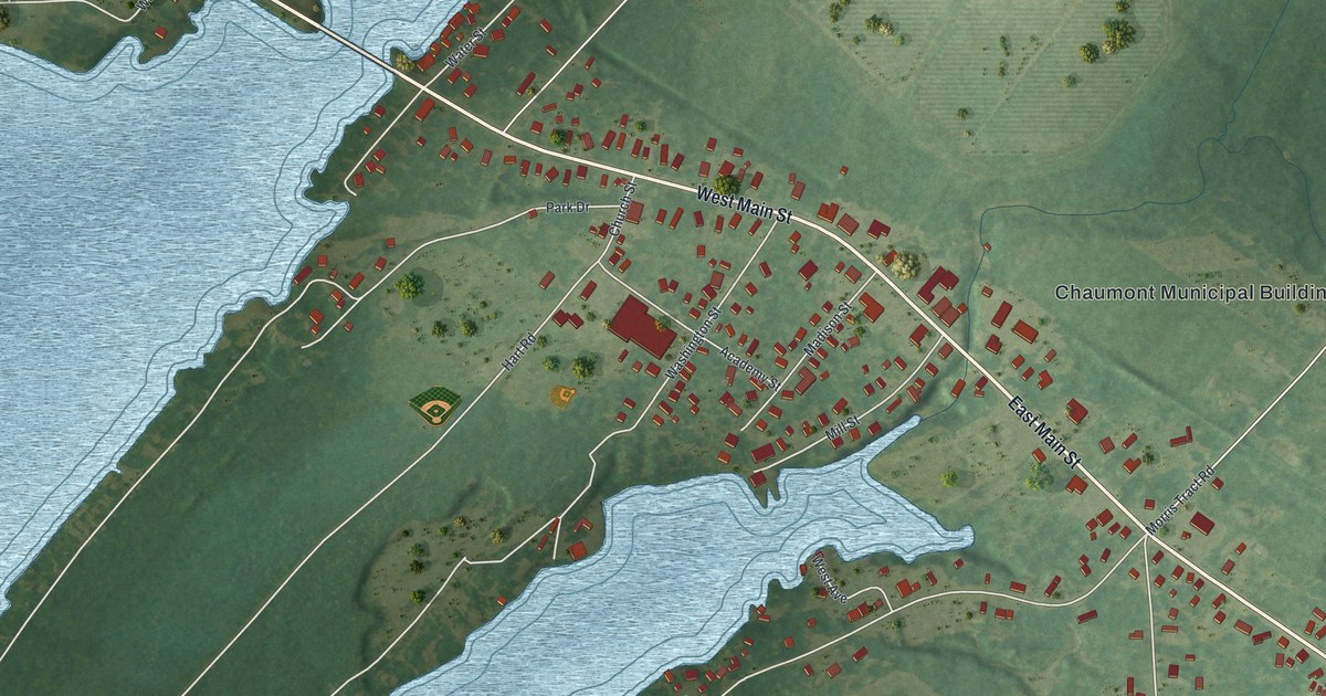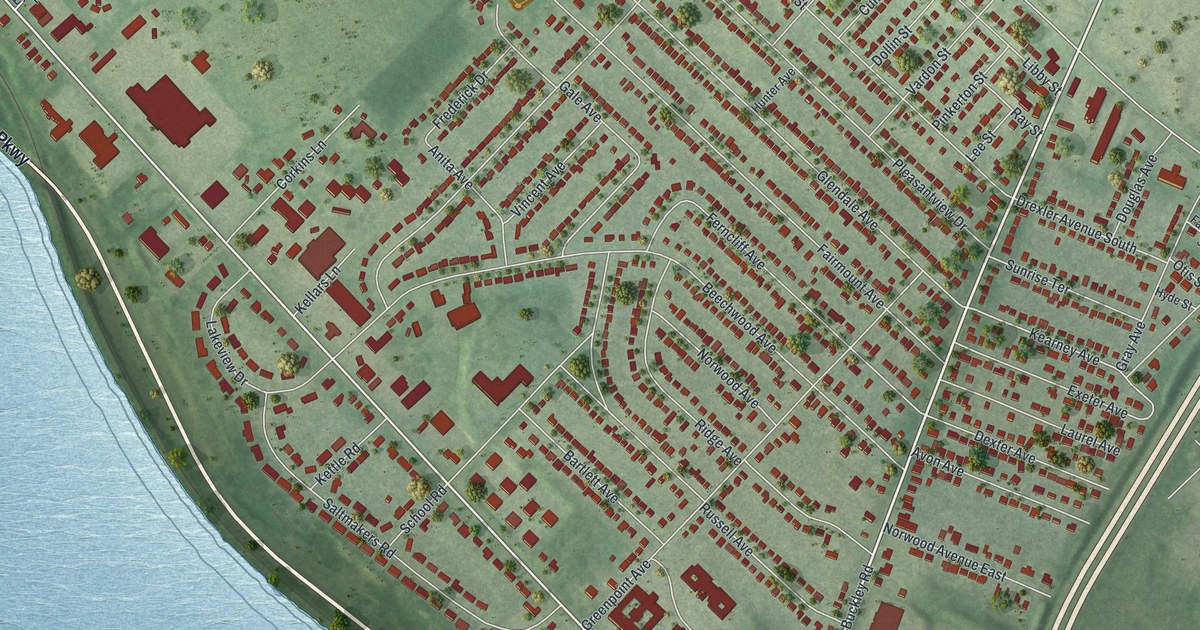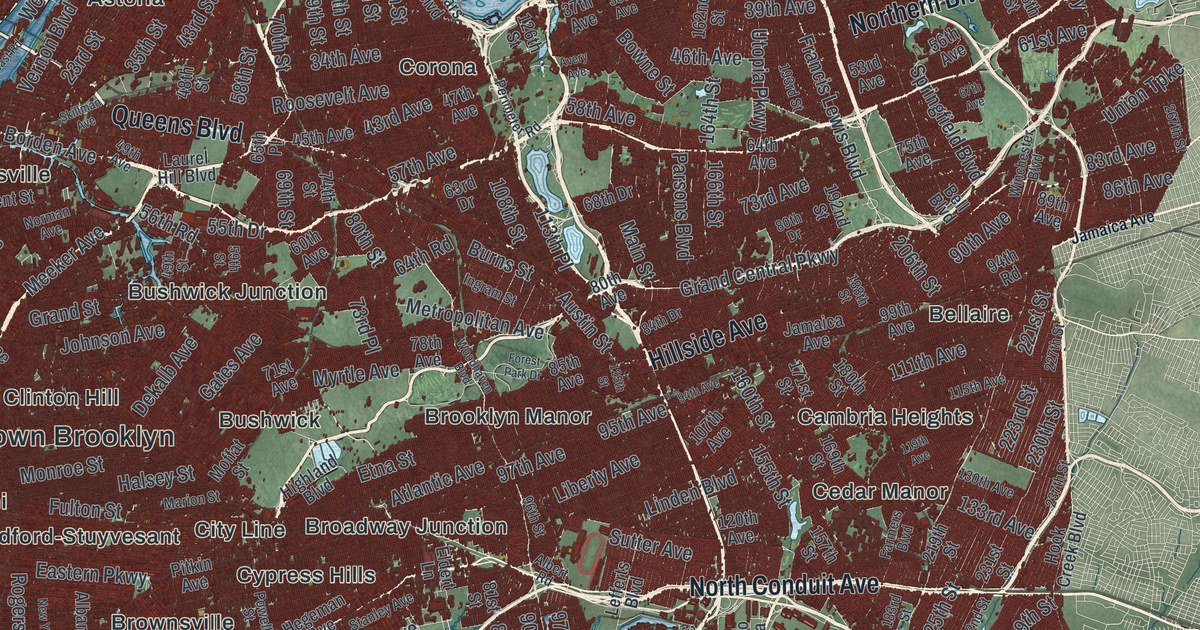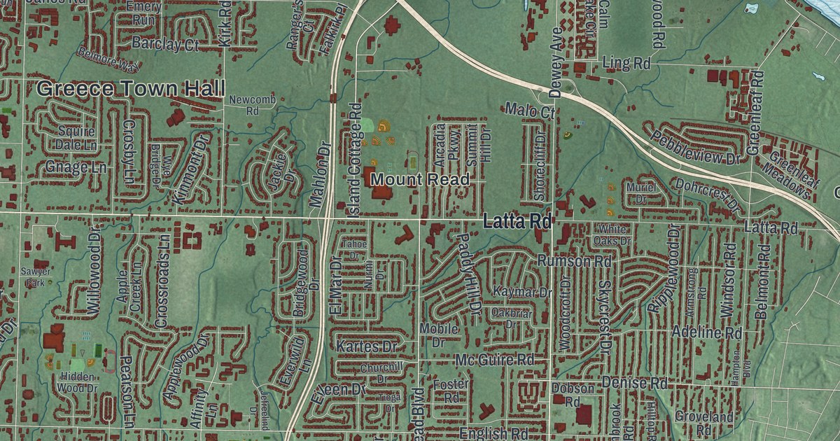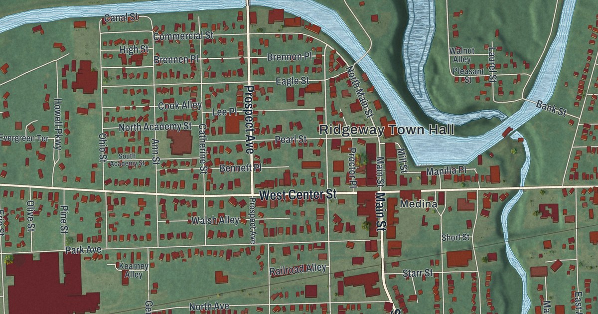
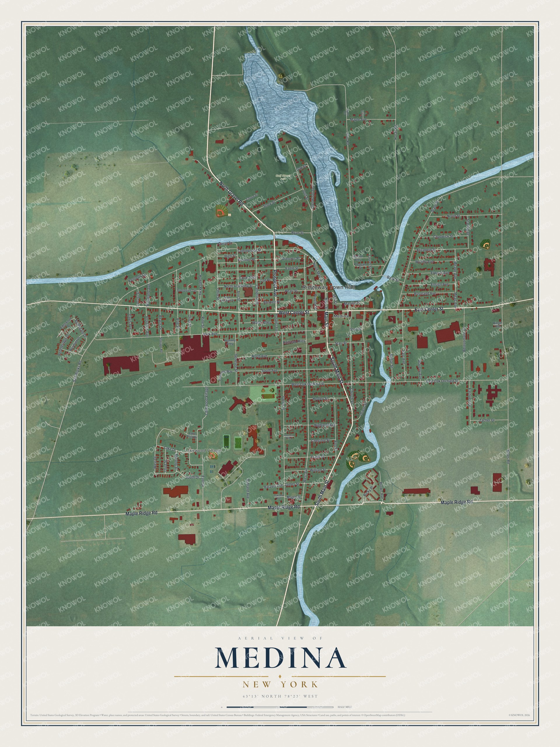
This beautifully detailed map of Medina, New York was created in 2026 using aerial imagery combined with modern topographical, census, street and landmark data. It’s a one-of-a-kind view of Medina that combines accurate data with a vintage aesthetic. The map shows every building in its true location, many of the roads carry their names, and the shaded topographic relief shows the shape of the land.
Explore an aerial view of Medina, New York
On the map you’ll find Ridgeway Town Hall, Lakewood Village, and Gulf Street Park, along with Main Street, Gravel Road, Prospect Avenue, Center Street, and more. If you look closely you can even find your house accurately drawn in its correct location. Zoom in on the preview to look for yours.
Did You Know?
Medina is known for Medina Sandstone, a stone used in buildings across the region. John Ryan opened the first commercial quarry here in 1837. At their peak the quarries employed upward of 2,000 people. The stone went into the famous million dollar staircase in the State Capitol at Albany.
Take a closer look at the Medina map
Names on this map
These names are printed on this map.
Places: Ridgeway Town Hall, Lakewood Village, Gulf Street Park and Medina.
Streets and roads: South Main Street, Main Street, North Gravel Road, Prospect Avenue, East Center Street, West Center Street, Maple Ridge Road, North Main Street, West Avenue, Second Street, Erin Road, Manilla Place.
More street names, A to Z
Ann Street, Applegate Drive, Ashland Avenue, Bank Street, Batavia Avenue, Bates Road, Beach Drive, Bennett Place, Bernzomatic Drive, Brennen Place, Brennon Place, Brown Avenue, Canal Street, Catherine Street, Chadwick Street, Chase Street, Cherry Street, Chestnut Street, Church Street, Commercial Street, Cook Alley, Davis Avenue, Demming Way, Eagle Street, East Avenue, East Drive, East Oak Orchard Street, Eastview Drive, Edgewood Drive, Elizabeth Street, Elm Street, Elwood Avenue, Ensign Avenue, Erie Street, Evergreen Terrace, Florence Avenue, Frank Street, Genesee Street, Glenwood Avenue, Gulf Street, Gwinn Street, Hedley Street, Highland Avenue, High Street, Horan Road, Howell Parkway, James Street, Kearney Alley, Kennedy Circle, Lake Drive, Lake Vista Drive, Laurel Street, Lawrence Parkway, Lee Place, Locust Street, Mahar Street, Maple Avenue, Maple Street, Mead Avenue, Meade Avenue, Mill Street, North Academy Street, North Avenue, North Street, Nymo Road, Oakland Avenue, Oak Street, Ohio Street, Olive Street, Orient Street, Park Avenue, Pearl Street, Pebbleridge Drive, Pine Street, Pleasant Street, Proctor Place, Railroad Alley, Ricky Place, Ringer Avenue, Roseland Avenue, Ryan Street, Salt Works Road, Short Street, South Academy Street, South Avenue, South Drive, Starling Drive, Starr Street, State Street, Storage Road, Stork Street, Third Street, Walnut Alley, Walsh Alley, Waverly Avenue, West Drive, Westfield Drive, West Oak Orchard Street, William Street, Woodland Avenue, Worthy Avenue, Zacher Drive.
See it on a wall
The Medina map as a framed print. Swipe for more.


This beautifully detailed map of Medina makes an attractive addition to your office, library, or den, and it can even be used to teach children the geography and history of the area. It also makes a great gift for anyone who grew up in Medina or moved away. When you’re done exploring, click here to get your copy of the Medina map.