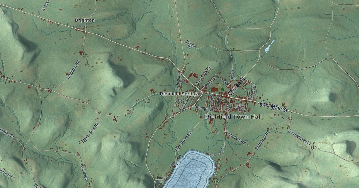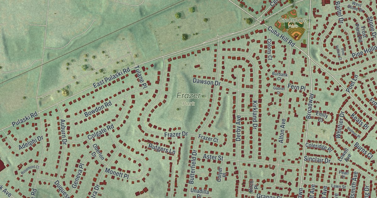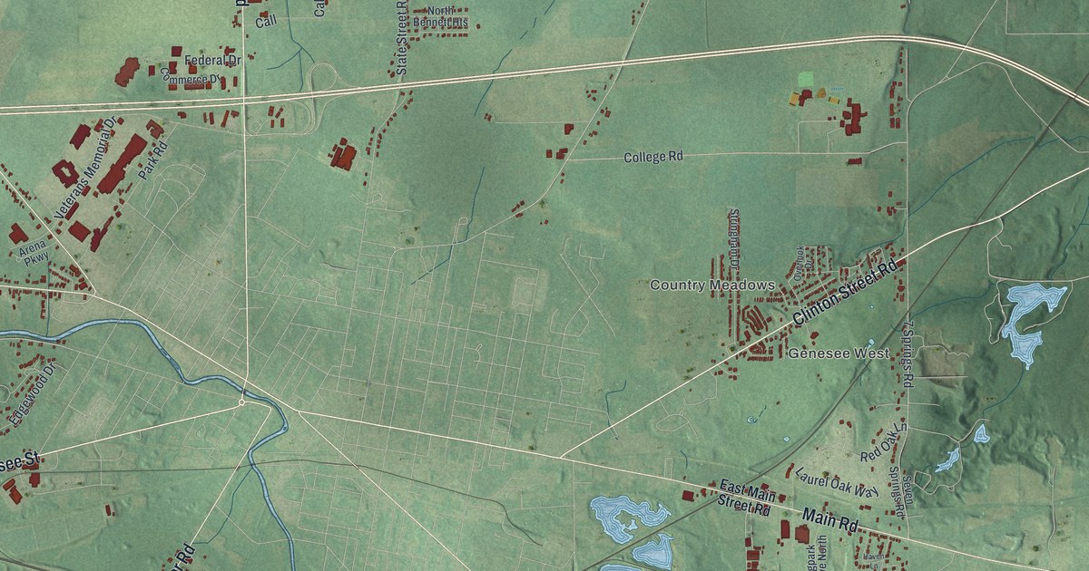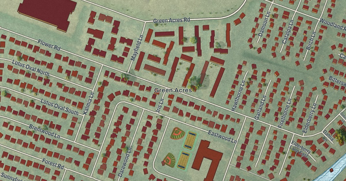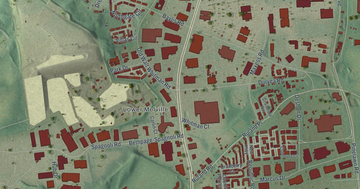
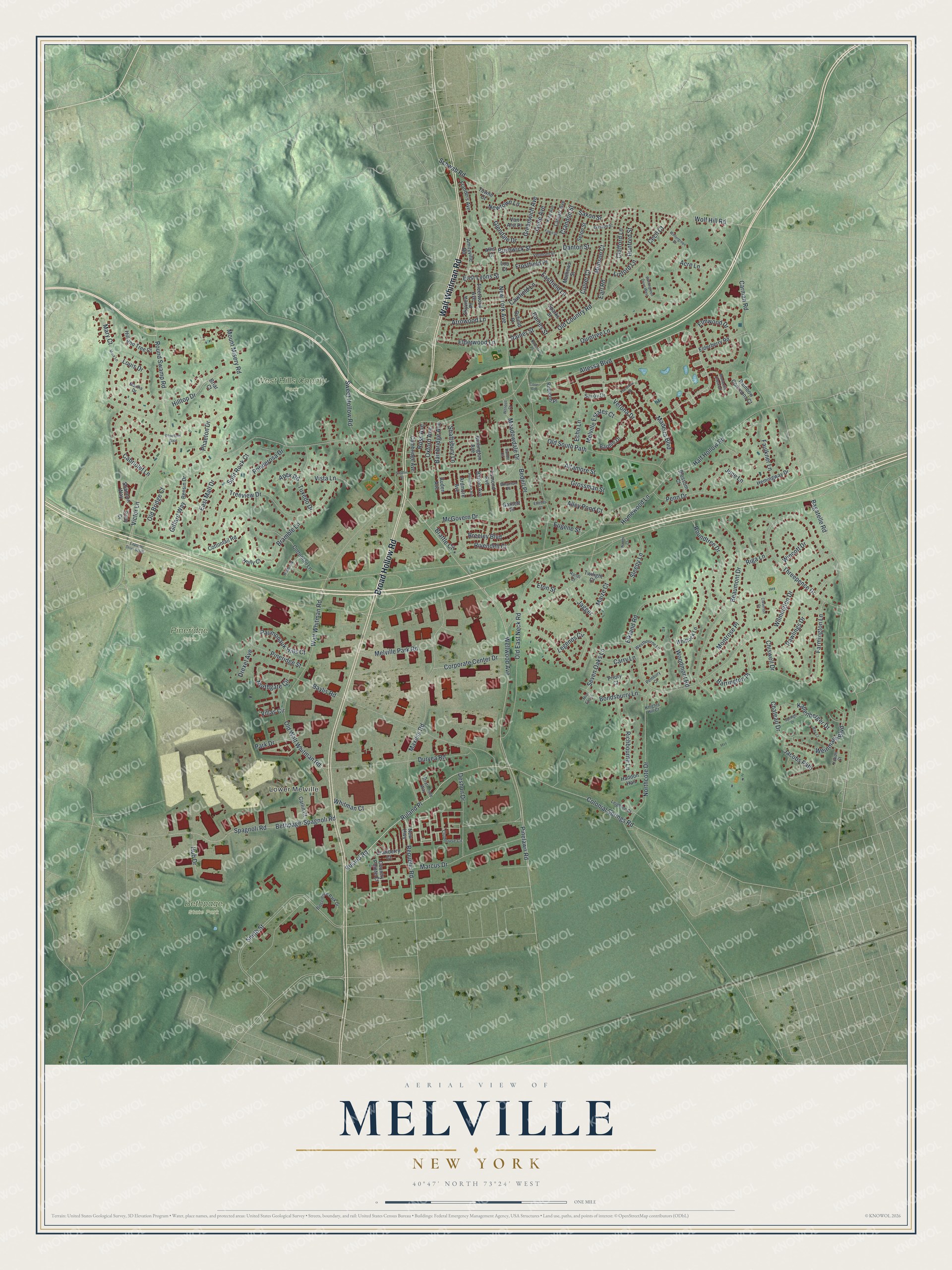
This beautifully detailed map of Melville, New York was created in 2026 using aerial imagery combined with modern topographical, census, street and landmark data. It’s a one-of-a-kind view of Melville that combines accurate data with a vintage aesthetic. The map shows every building in its true location, many of the roads carry their names, and the shaded topographic relief shows the shape of the land.
Explore an aerial view of Melville, New York
On the map you’ll find Lower Melville, Bethpage State Park, Pineridge Park, and West Hills County Park, along with Broad Hollow Road, Walt Whitman Road, Altessa Boulevard, Wellwood Avenue, Ruland Road, and more. If you look closely you can even find your house accurately drawn in its correct location. Zoom in on the preview to look for yours.
Did You Know?
In 1909 a trolley line reached Melville, linking it with Huntington and Amityville. One of its six fare zones was the Duryea Farm. About ten years later the line shut down. Local farmers had complained that the noisy trolley scared their animals, and buses took over.
Take a closer look at the Melville map
Names on this map
These names are printed on this map.
Places: Lower Melville, Bethpage State Park, Pineridge Park and West Hills County Park.
Streets and roads: Broad Hollow Road, Walt Whitman Road, Altessa Boulevard, Wellwood Avenue, Ruland Road, Republic Road, Pinelawn Road, Colonial Springs Road, Verona Drive, Round Swamp Road, Ruland Place, Victor Lane.
More street names, A to Z
Acre Lane, Alley Pond Court, Allis Court, Altamore Street, Amityville Road, Apex Road, Ardmore Avenue, Arrowood Lane, Auden Avenue, Bagatelle Road, Bainbridge Avenue, Bardini Drive, Barrett Circle, Barrington Place, Barton Avenue, Baylis Road, Beaumont Drive, Bedell Place, Bensin Drive, Bethpage-Spagnoli Road, Bioscience Park Drive, Blossom Court, Bondsburry Lane, Bramble Lane, Brattle Circle, Breeley Boulevard, Briar Court, Burlington Avenue, Bushwick Street, Byfield Place, Cabriolet Lane, Cambridge Avenue, Carlin Court, Carman Road, Carry Lane, Cawfield Lane, Cecil Court, Chateau Drive, Chiswell Drive, Clafford Lane, Claverton Court, Clubhouse Circle, Cody Drive, Corporate Center Drive, Cottontail Lane, Cottontail Road, Country Pointe Court, Cove Road, Cranberry Court, Crandon Street, Culver Court, Danton Street, Deshon Drive, Drexel Avenue, Dunford Street, Duryea Road, Earl Road, Eastfield Lane, East Lyons Street, East Mall Drive, Echo Lane, Elderberry Road, Elderwood Lane, Elkland Road, Elmwood Drive, Esmond Avenue, Esteves Court, Eton Street, Eugene Street, Express Drive South, Farmington Lane, Faulkner Lane, Fawn Street, Flanders Avenue, Fleetwood Avenue, Florencia Place, Frostfield Place, Garnett Place, Gaston Street, Giffard Way, Glendale Drive, Greenwich Avenue, Grossman Street, Haddon Hall, Half Hollow Road, Hemingway Drive, Hill and Tree Court, Hilltop Drive, Holly Court, Homewood Lane, Hub Drive, Jacobs Path, Jagger, Jayne Avenue, June Lane, Kallenberger Drive, King Avenue, Knights Hill Court, Lamarr Avenue, Legends Circle, Leighton Court, Linford Lane, Lou Court, Louis Drive, Madeira Boulevard, Maize Court, Marcus Drive, Martha Drive, Mary Court, Mary Lane, Mathews Street, Maxess Road, McGovern Drive, Meadowdale Drive, Melville Estates Court, Melville Park Road, Mile End Lane, Montecito Crescent, Montrose Place, Mount Misery Road, Munson Court, Naomi Court, New Highway, Newtown Lane, New York Avenue, Northcote Drive, Northgate Circle, Old Bridge Court, Old Country Road, Old East Neck Road, Old South Path, Old Walt Whitman Road, Oxford Avenue, Park Drive, Paumonauk Hills Court, Pembroke Avenue, Pembury Court, Penn Drive, Phaeton Drive, Phaetons Gate, Pineridge Street, Ponderosa Drive, Priory Court, Quintree Lane, Rainbow Commons Court, Rainer Street, Raines Street, Randi Court, Rawlings Drive, Ray Court, Redbrook Court, Richbourne Lane, Riga Lane, Rivendell Court, Roberts Place, Ross Avenue, Roundtree Drive, Rubicon Place, Savoy Drive, Saxon Street, Schwab Road, Seton Street, Seven Oaks Lane, Shaftsbury Lane, Shannon Way, Skyview Place, Sleepy Lane, Smith Street, Snyder Street, Spagnoli Road, Sparks Street, Split Rock Court, Springs Drive, Strathmore Way, Sweet Hollow Road, Threepence Drive, Towne Court, Treeview Drive, Tuxedo Drive, Twilight Court, Van Alst Place, Vermont Street, Villas Circle, Vista Lane, Weinmann Boulevard, Wendell Court, Westbourne Lane, Wharton Place, Whitman Court, Whittock Lane, Wilmington Drive, Wincott Drive, Wintergreen Drive, Wintergreen Drive West, Wolf Hill Road, Woodmont Road, Yukon Court.
See it on a wall
The Melville map as a framed print. Swipe for more.


This beautifully detailed map of Melville makes an attractive addition to your office, library, or den, and it can even be used to teach children the geography and history of the area. It also makes a great gift for someone who left Melville and still calls it home. When you’re done exploring, click here to get your copy of the Melville map.