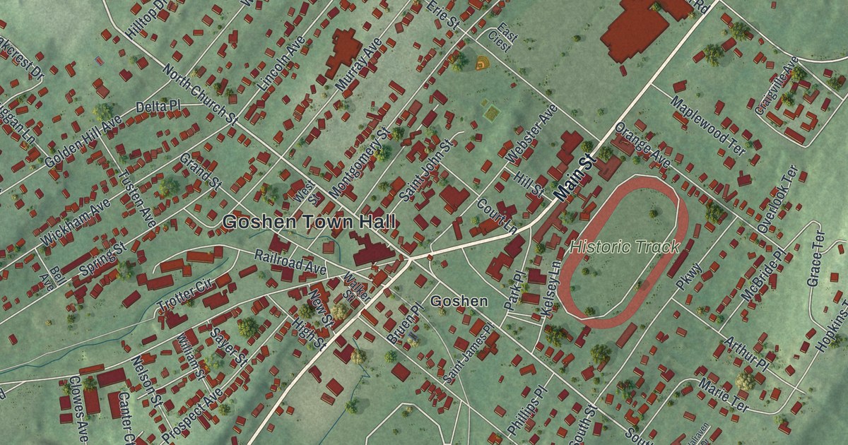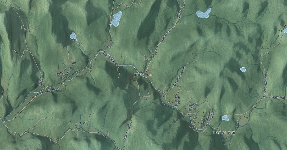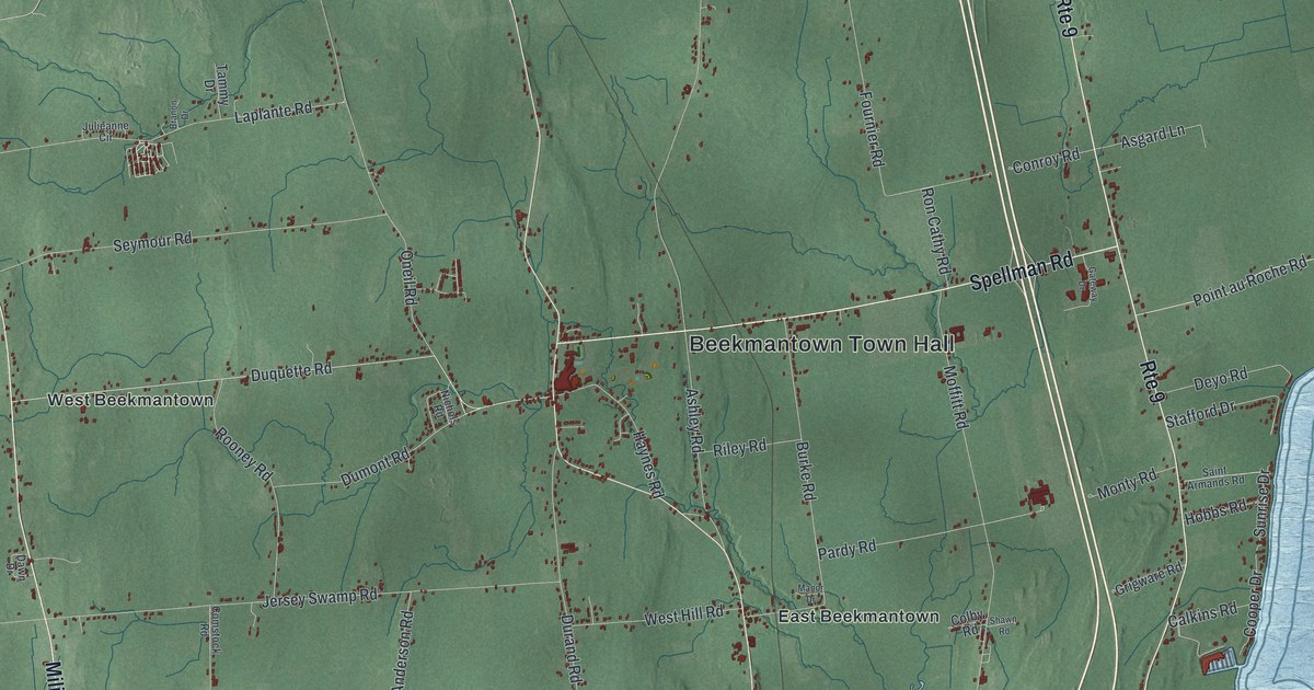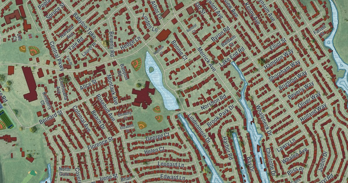
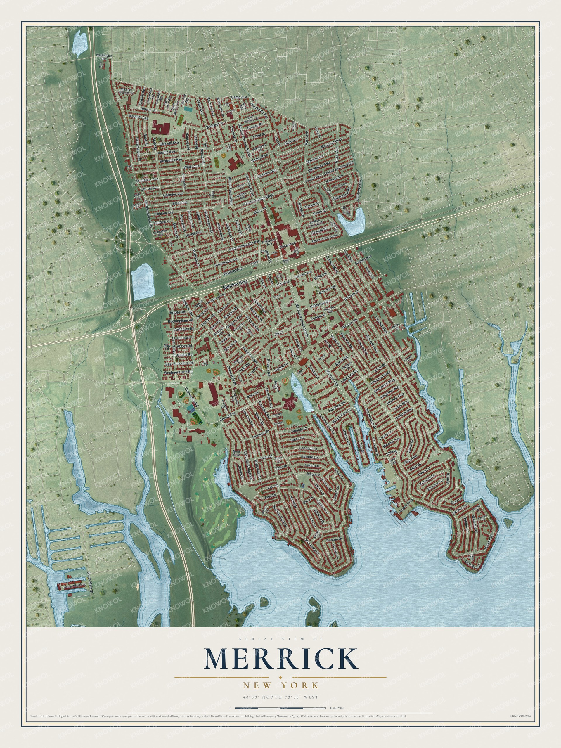
This beautifully detailed map of Merrick, New York was created in 2026 using aerial imagery combined with modern topographical, census, street and landmark data. It’s a one-of-a-kind view of Merrick that combines accurate data with a vintage aesthetic. The map shows every building in its true location, many of the roads carry their names, and the shaded topographic relief shows the shape of the land.
Explore an aerial view of Merrick, New York
On the map you’ll find Sunrise Highway, Hewlett Avenue, Merrick Avenue, Wynsum Avenue, Merrick Road, and more. If you look closely you can even find your house accurately drawn in its correct location. Zoom in on the preview to look for yours.
Did You Know?
Ben Cohen was raised in Merrick on Long Island. In 1963, he met Jerry Greenfield in seventh grade gym class. Later, both boys attended Calhoun High School together. In May 1978 the two friends opened Ben and Jerry’s, an ice cream parlor in Burlington, Vermont.
Take a closer look at the Merrick map
Names on this map
These names are printed on this map.
Streets and roads: Sunrise Highway, Hewlett Avenue, Merrick Avenue, Wynsum Avenue, Merrick Road, Clubhouse Road, Camp Avenue, Frankel Boulevard, Babylon Turnpike, Smith Street, Lindenmere Drive, Meadowbrook Road.
More street names, A to Z
Abbey Road, Abby Road, Akel Court, Alexander Avenue, Alexis Road, Alfred Road East, Alfred Road West, Alice Avenue, Alice Street, Amsterdam Avenue, Annette Avenue, Ann Road, Arbor Lane, Argyle Road, Arms Avenue, Arthur Street, Babylon Road, Baldwin Court, Barry Court, Bayberry Avenue, Bay Drive, Bayview Avenue, Beach Drive, Bedford Avenue, Bellewood Drive, Benson Lane, Berfond Court, Berkley Lane, Bernard Street, Beverly Road, Beverly Way, Birch Drive, Blanche Lane, Bliss Place, Bond Drive, Bonnie Court, Brian Court, Brighton Way, Brooklyn Avenue, Brook Park Drive, Brookside Avenue, Buckingham Road, Bushwick Avenue, Byron Road, Camden Lane, Camp Place, Carlisle Place, Carman Court, Carroll Avenue, Cayuga Drive, Central Boulevard, Central Parkway, Chapin Avenue, Charlotte Drive, Chernucha Avenue, Cheryl Road, Chestnut Street, City Avenue, City Place, Clifton Place, Colonial Avenue, Columbia Place, Commonwealth Avenue, Copperbreech Place, Cornell Place, Cortelyou Road, Court Street, Covered Bridge Road, Cynthia Lane, Denton Drive, Dobson Avenue, Donna Drive, Doris Place, Dorothy Court, East Bay Court, East Berkshire Road, East Webster Street, Echo Place, Edith Place, Edward Lane, Elinore Avenue, Elizabeth Court, Ellen Drive, Elliot Place, Elliot Street, Elsie Avenue, Farragut Road, Farrell Court, Fisher Avenue, Florence Street, Foreman Place, Fox Boulevard, Frederick Avenue, Gables Avenue, Garden Place, Garfield Street, Gary Lane, George Court, Gianelli Avenue, Gildersleeve Street, Glenn Lane, Gormley Avenue, Grace Avenue, Grand Avenue, Gregory Avenue, Grundy Place, Halyard Drive, Hampton Way, Hanover Place, Harbor Road, Harvard Avenue, Hedge Lane, Helen Court, Helene Avenue, Hemlock Avenue, Henry Street, Holiday Park Drive, Holland Way, Horatio Avenue, Illona Lane, Irene Street, Ivanhoe Drive, James Street, Jami Street, Jefferson Street, Jill Court, Johnson Street, John Street, Joyce Lane, Judith Drive, Julian Lane, Juniper Avenue, Keeler Avenue, Kees Place, Kenneth Drive, Kenny Avenue, Kimberly Court, Kirkwood Avenue, Lake End Road, Lansdowne Avenue, Laurel Place, Lawry Lane, Lee Court, Leonard Lane, Leslie Lane, Lexington Avenue, Lincoln Boulevard, Linden Lane, Lindgren Street, Lippold Street, Loines Avenue, Loines Avenue East, Loines Avenue West, Lois Place, Lonni Lane, Lowell Lane, Mabel Place, Madison Street, Manfield Avenue, Margaret Boulevard, Marion Avenue, McCord Avenue, Melthew Court, Merokee Drive, Merrick Avenue North, Merrick Avenue South, Michael William Road, Miller Place, Montauk Avenue, Monterey Drive, Morris Avenue, Murray Place, Nagel Court, Nancy Boulevard, Narwood Avenue, Nassau Street, Norshon Road, North Gate, Oak Brook Lane, Oakwood Avenue, Ocean Watch Court, Oliver Way, Orr Street, Oxford Place, Park Avenue, Pearsall Place, Pemaco Road, Pettit Avenue, Poplar Street, Powell Place, Preston Lane, Princeton Place, Quincy Street, Ranch Place, Range Drive, Reid Avenue, Relyea Drive, Remson Avenue, Richard Street, Riverside Avenue, Robbin Lane, Rosebud Avenue, Rose Street, Rugby Road, Rutgers Place, Saint Johns Avenue, Saint Marks Avenue, Sans Avenue, Schermerhorn Street, Seawane Drive, Seneca Drive East, Seneca Drive North, Seneca Drive South, Sherman Street, Shore Drive, Shoreham Way, Silverbirch Road, South Main Street, Spruce Street, Stanley Drive, State Street, Sterling Avenue, Stevens Avenue, Stuyvesant Avenue, Sumner Avenue, Thelma Avenue, Thomas Street, Troy Place, Van Roo Avenue, Vine Drive, Washington Avenue, Washington Drive, Washington Street, Webster Avenue, Webster Street, Westmoreland Road, Whalen Avenue, Whaleneck Drive, William Place, Willis Avenue, Willow Avenue, Woodbine Avenue, Woodland Terrace, Yale Place, Yale Road, York Place.
See it on a wall
The Merrick map as a framed print. Swipe for more.


This beautifully detailed map of Merrick makes an attractive addition to your office, library, or den, and it can even be used to teach children the geography and history of the area. It also makes a great gift for anyone who grew up in Merrick or moved away. When you’re done exploring, click here to get your copy of the Merrick map.