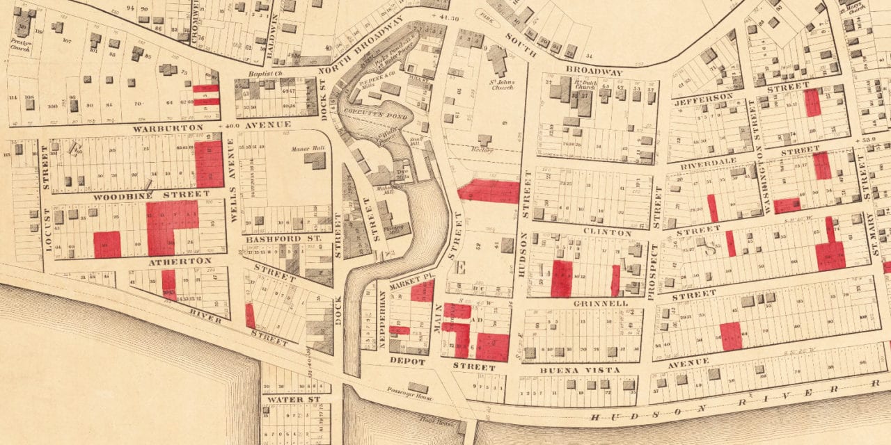
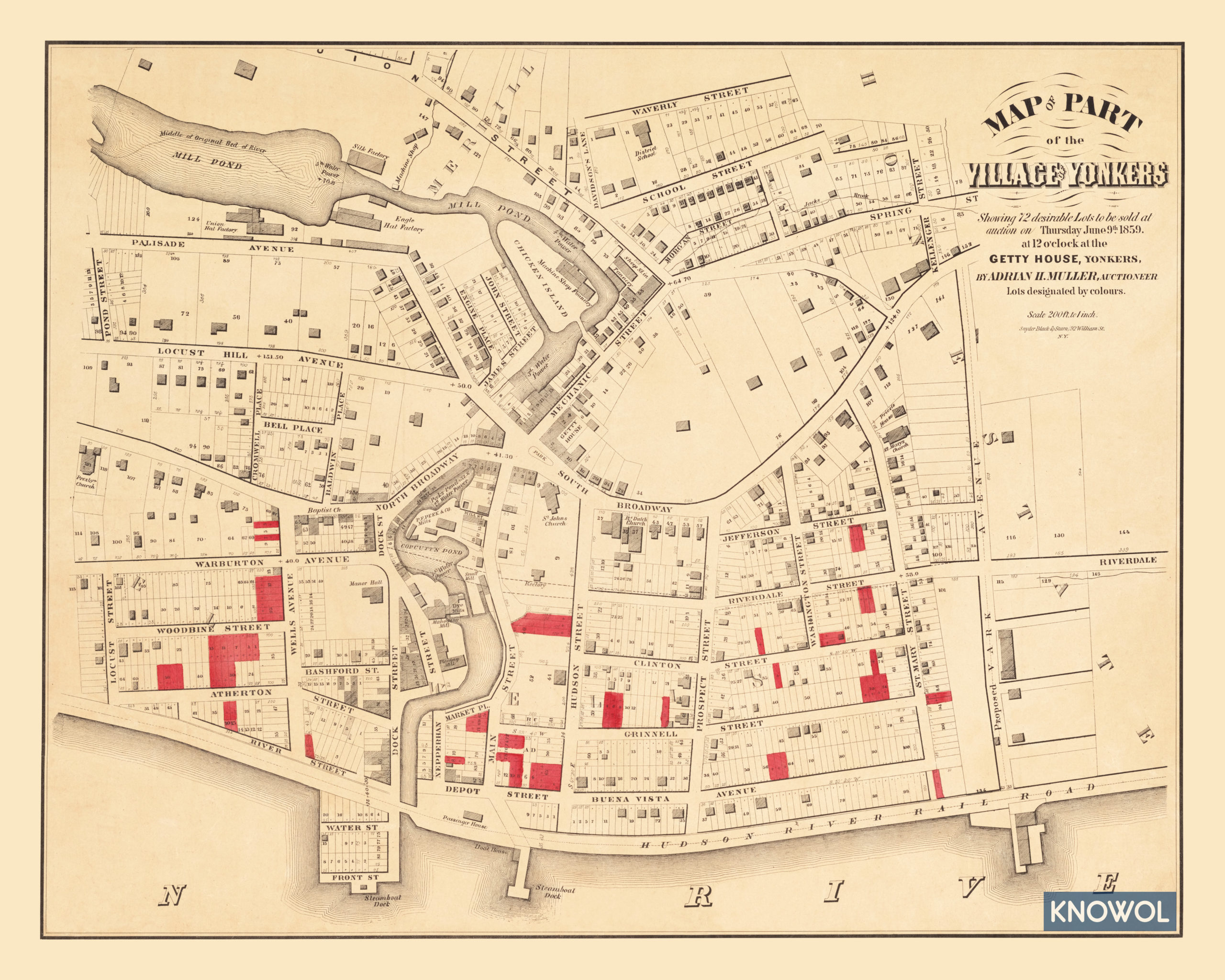
This map shows the Village of Yonkers, New York in 1859. The map was used to advertise 72 plots of land that were sold at auction on June 9th, 1859 at the Getty House. The land being sold was located in what is now Getty Square.
Lots were available on Jefferson Street, Riverdale Street, Grinnell Street, Clinton Street, St. Mary’s Street, River Street, Woodbine Street, Locust Street, Warburton Avenue, Wells Avenue, Buena Vista Avenue, and more.
This historic map of Yonkers, NY has been restored by KNOWOL. Reproductions of the map are available here.
Map of Yonkers, New York in 1859
This historic map of Yonkers will make an attractive addition to your office, library, or den and can even be used to teach children the geography and history of the area. When you’re done exploring, click here to get your copy.