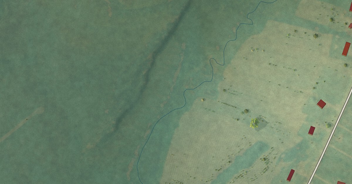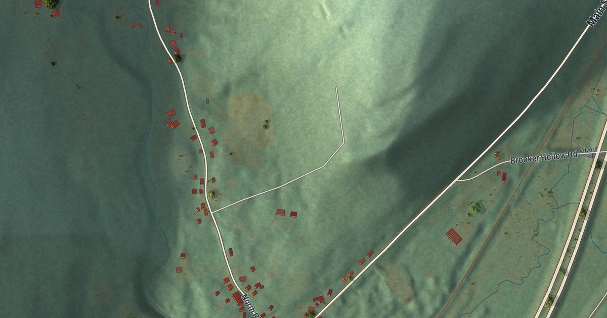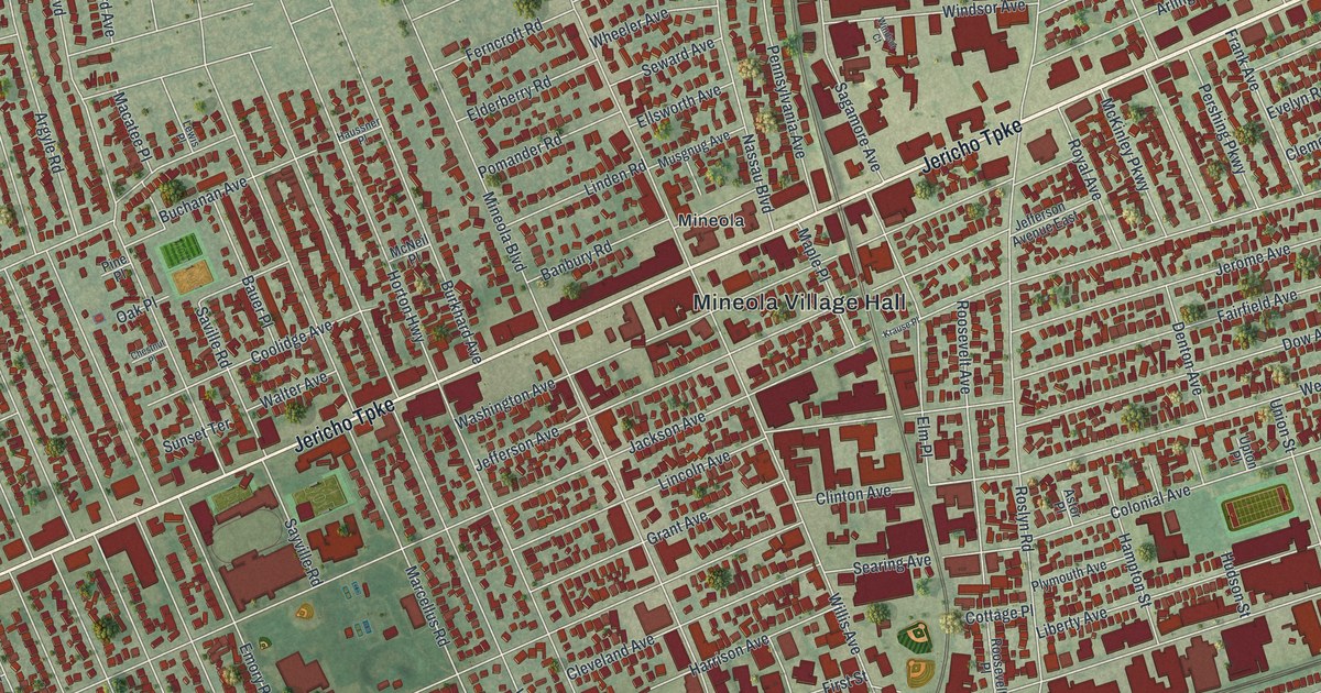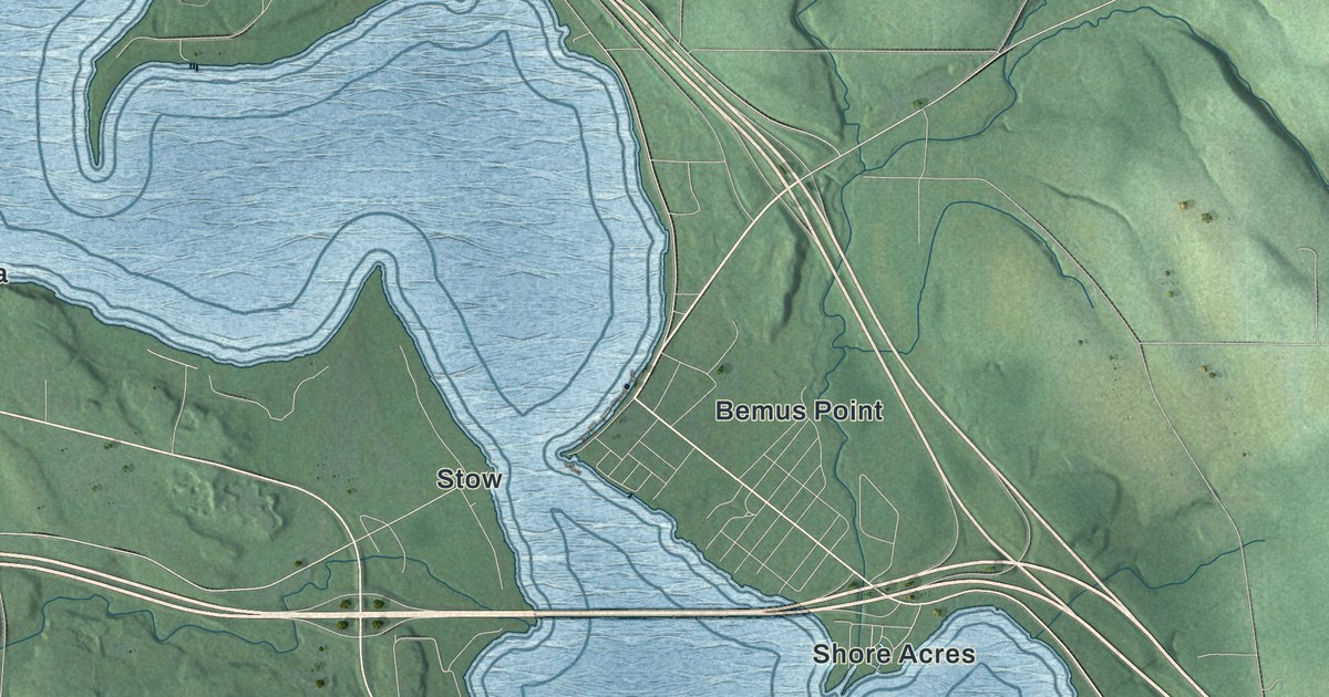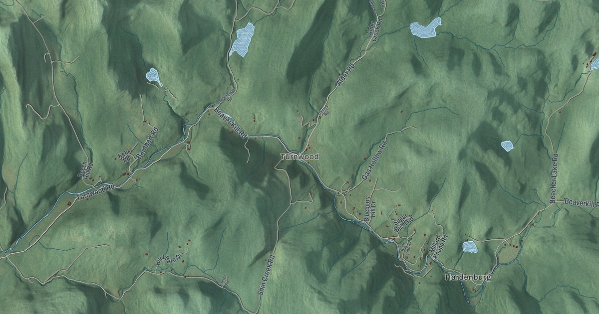
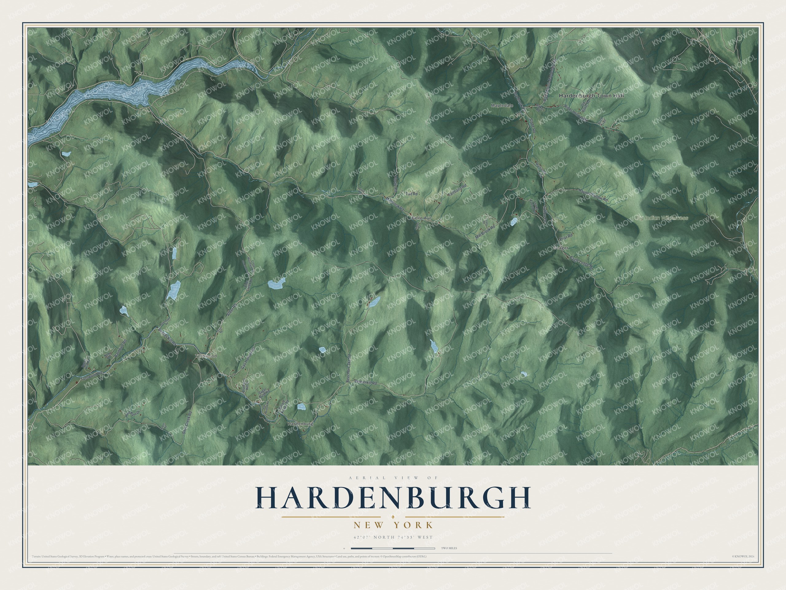
This beautifully detailed map of Hardenburgh, New York was created in 2026 using aerial imagery combined with modern topographical, census, street and landmark data. It’s a one-of-a-kind view of Hardenburgh that combines accurate data with a vintage aesthetic. The map shows every building in its true location, many of the roads carry their names, and the shaded topographic relief shows the shape of the land.
Explore an aerial view of Hardenburgh, New York
On the map you’ll find Hardenburgh Town Hall, Turnwood, Belle Ayr, Hardenburg, Mapledale, and Seager, along with Beaverkill Road, Turnwood Road, Alder Road, and more. If you look closely you can even find your house accurately drawn in its correct location. Zoom in on the preview to look for yours.
Did You Know?
Between 1976 and 1983, 236 people in Hardenburgh became ministers of the Universal Life Church by mail. They were protesting high property taxes. Much of the town’s land belonged to tax-exempt groups, so the burden fell on local farmers and loggers. In 1982 the state’s highest court ruled the new ministers did not qualify for the exemption.
Take a closer look at the Hardenburgh map
Names on this map
These names are printed on this map.
Places: Hardenburgh Town Hall, Turnwood, Big Indian Wilderness, Belle Ayr, Hardenburg, Mapledale and Seager.
Streets and roads: Beaverkill Road, Turnwood Road, Beaver Kill Road, Alder Road, Barnhart Road, Millbrook Road, Dry Brook Road, Furlow Drive, Shin Creek Road, Mill Brook Road, Beecher Lake Road, Rider Hollow Road.
More street names, A to Z
Alder Creek Road, Baker Road, Barkaboom Road, Beech Hill Road, Birch Trail, Blueberry Hill Drive, Cross Mountain Road, Davis Road, Eagle Lodge Road, Fairbairn Road, Gas Hollow Road, Haynes Hollow Road, High Meadow Road, High Mount-Mapledale Road, Hinkley Road, Hunt Barn Drive, James Road, Kaetor Road, Kehr Road, Loretto Road, Lower Furlow Drive, Martin Road, Millard Knapp Road, Old Baker Road, Old Edwards Road, Ploutz Road, Prior Road, Slade Road, Sugar Bush Road, Tait Road.
See it on a wall
The Hardenburgh map as a framed print. Swipe for more.


This beautifully detailed map of Hardenburgh makes an attractive addition to your office, library, or den, and it can even be used to teach children the geography and history of the area. It also makes a great gift for someone who left Hardenburgh and still calls it home. When you’re done exploring, click here to get your copy of the Hardenburgh map.