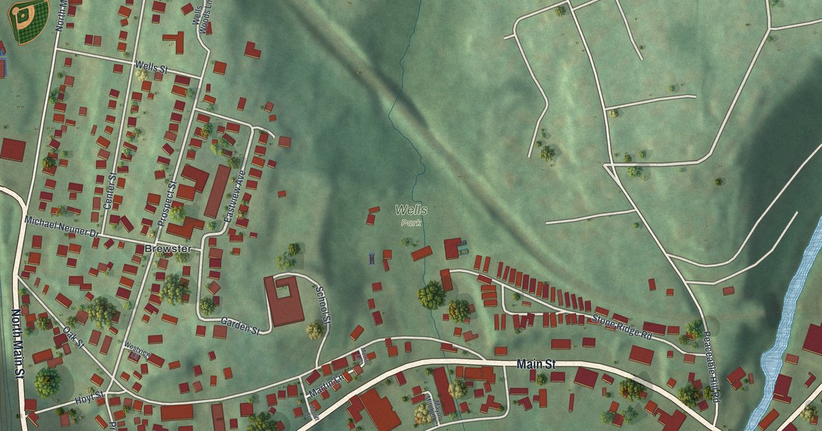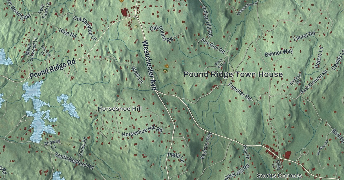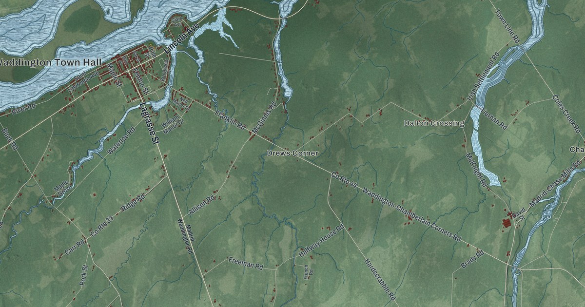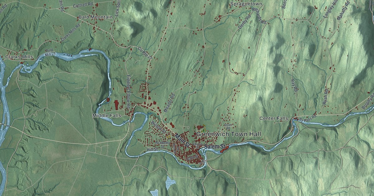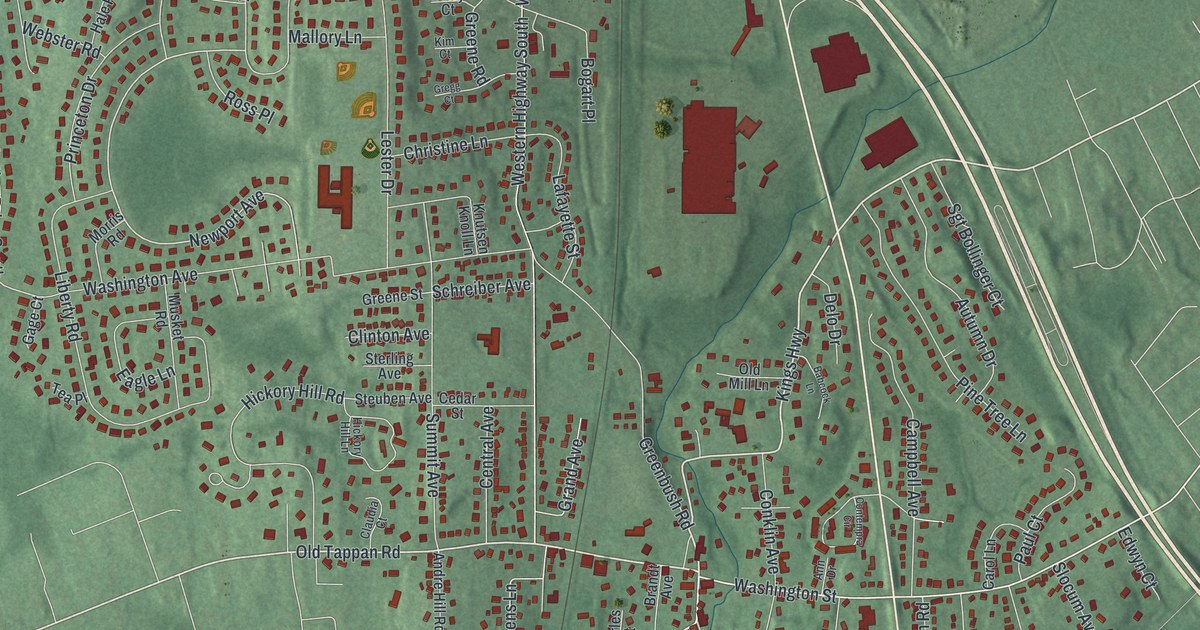
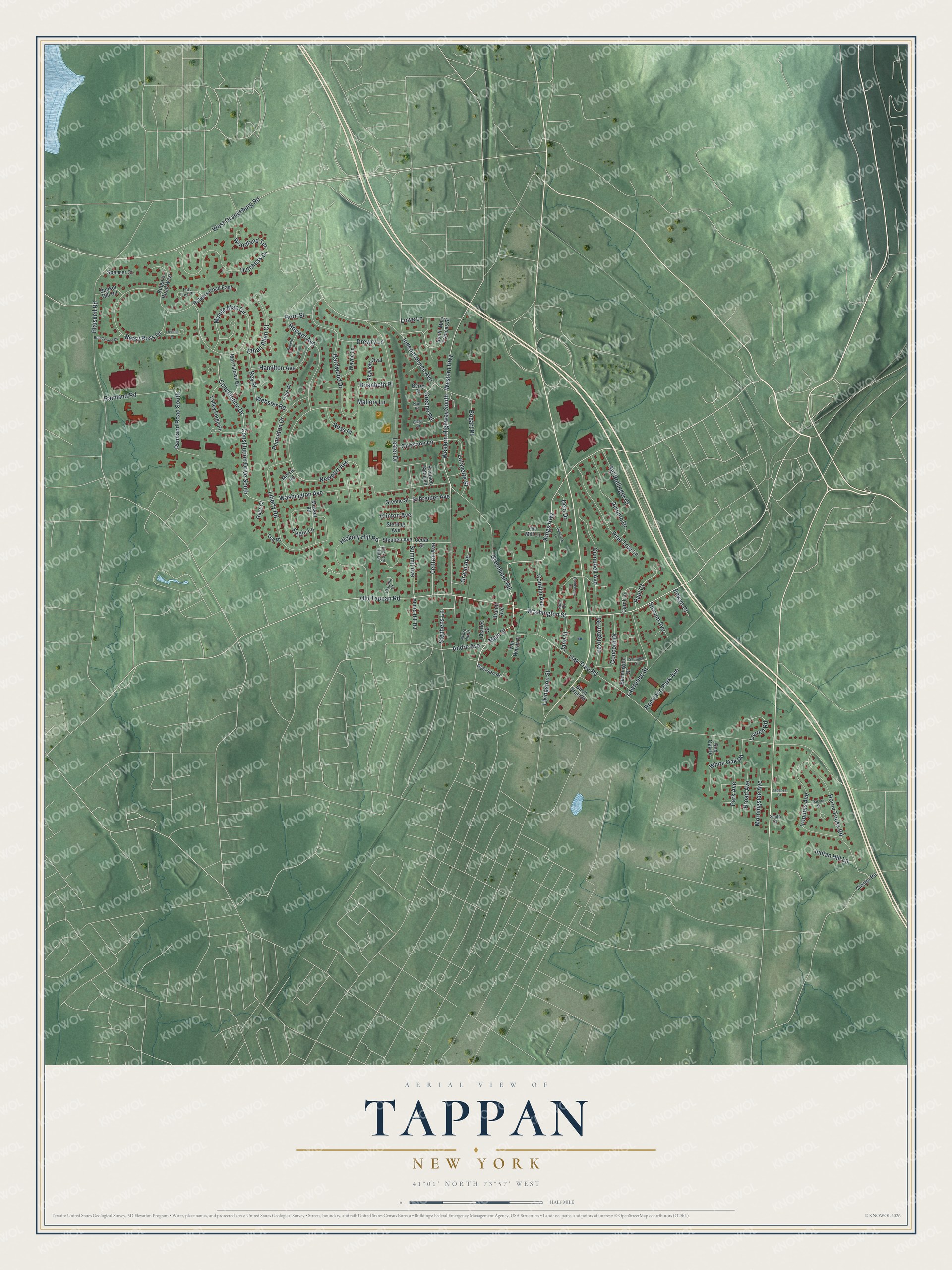
This beautifully detailed map of Tappan, New York was created in 2026 using aerial imagery combined with modern topographical, census, street and landmark data. It's a modern aerial view of Tappan in Rockland County, New York, that combines modern data with a vintage aesthetic. The roads feature printed names, and if you look closely you can find your exact house accurately shown in its correct location.
Explore an aerial view of Tappan, New York
On this map you'll find Kings Highway, Old Tappan Road, Main Street, Lester Drive, Newport Avenue, Andre Avenue, Oak Tree Road, Western Highway, Western Highway South, Blaisdell Road, Washington Avenue, Minute Man Circle, and more. Each red shape is a building, so zoom in on the preview and look for yours.
Tappan is a community in Rockland County. The Census Bureau counted 6,673 people here in 2020. Tappan sits about 2 miles south of Orangeburg, 2 miles southwest of Piermont and 3 miles south of Blauvelt. The map prints the town name in its title panel, with the coordinates below it.
Take a closer look at the Tappan map
Names on this map
These names are printed on this map.
Streets and roads: Kings Highway, Old Tappan Road, Main Street, Lester Drive, Newport Avenue, Constitution Drive South, Andre Avenue, Oak Tree Road, Western Highway, Western Highway South, Blaisdell Road, Washington Avenue.
More street names, A to Z
Andre Hill Drive, Andre Hill Road, Ann Drive, Autumn Drive, Babcock Lane, Bennington Drive, Berry Court, Betsy Ross Drive, Birch Tree Road, Bogart Place, Brandt Avenue, Brandywine Drive, Brianbeth Place, Broad Avenue, Bunker Hill Road, Campbell Avenue, Carol Lane, Cedar Street, Central Avenue, Charles Street, Christine Lane, Claudia Court, Clinton Avenue, Closter Road, Concord Drive, Conklin Avenue, Constitution Drive, Contempra Circle, Dakota Street, Delo Drive, Drewry Lane, Dutchess Drive, Eagle Lane, Edwyn Court, Ethan Allen Court, Fort Lee Place, Gage Court, Grand Avenue, Greenbush Road, Greene Road, Greene Street, Gregg Court, Hale Place, Hamilton Avenue, Hardwood Drive, Hickory Hill Lane, Hickory Hill Road, Horne Tooke Road, Horn Street, Howard Avenue, Independence Avenue, Indian Hill Lane, Iroquois Avenue, Jane Street, Key Place, Kim Court, Knutsen Knoll Lane, Lafayette Street, Lauren Road, Lawrence Street, Lexington Road, Liberty Road, Livingston Street, Lowe Lane, Mallory Lane, Minute Man Circle, Morningside Avenue, Morris Road, Morristown Drive, Musket Road, Old Mill Lane, Park Avenue, Paul Court, Pine Tree Lane, Princeton Drive, Ramland Road, Ramland Road South, Red Oak Drive, Revere Place, Rockland Park Avenue, Ross Place, Rutgers Road East, Rutgers Road West, Ryerson Place, Saratoga Street, Schreiber Avenue, Sgt Bollinger Court, Skyview Oval, Slocum Avenue, Smith Court, South Mary Frances Street, Spencer Court, Stephens Lane, Sterling Avenue, Steuben Avenue, Summit Avenue, Tea Place, Trenton Place, Valley Forge Place, Van Wardt Place, Washington Street, Wayne Lane, Webster Road, West Orangeburg Road, White Oak Road, Woodland Terrace, Yadanza Court.
See it on a wall
The Tappan map as a framed print. Swipe for more.


Created by KNOWOL in 2026. The buildings are small red shapes, the roads carry their printed names, and shaded relief shows the shape of the land. The title panel reads "AERIAL VIEW OF TAPPAN, NEW YORK" with 41°01' NORTH 73°57' WEST.
Hang it in the hallway, the office or the cabin, or give it to someone who left Tappan and still calls it home. Open the preview and look for a street you know. See sizes and frames for the Tappan map.