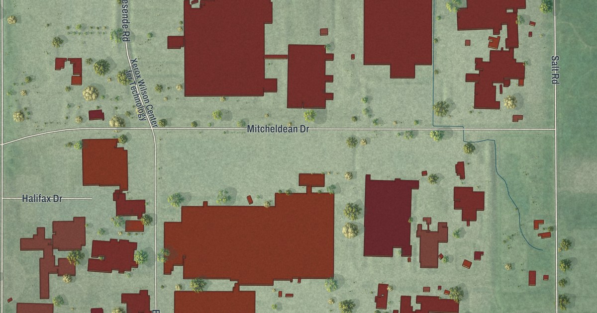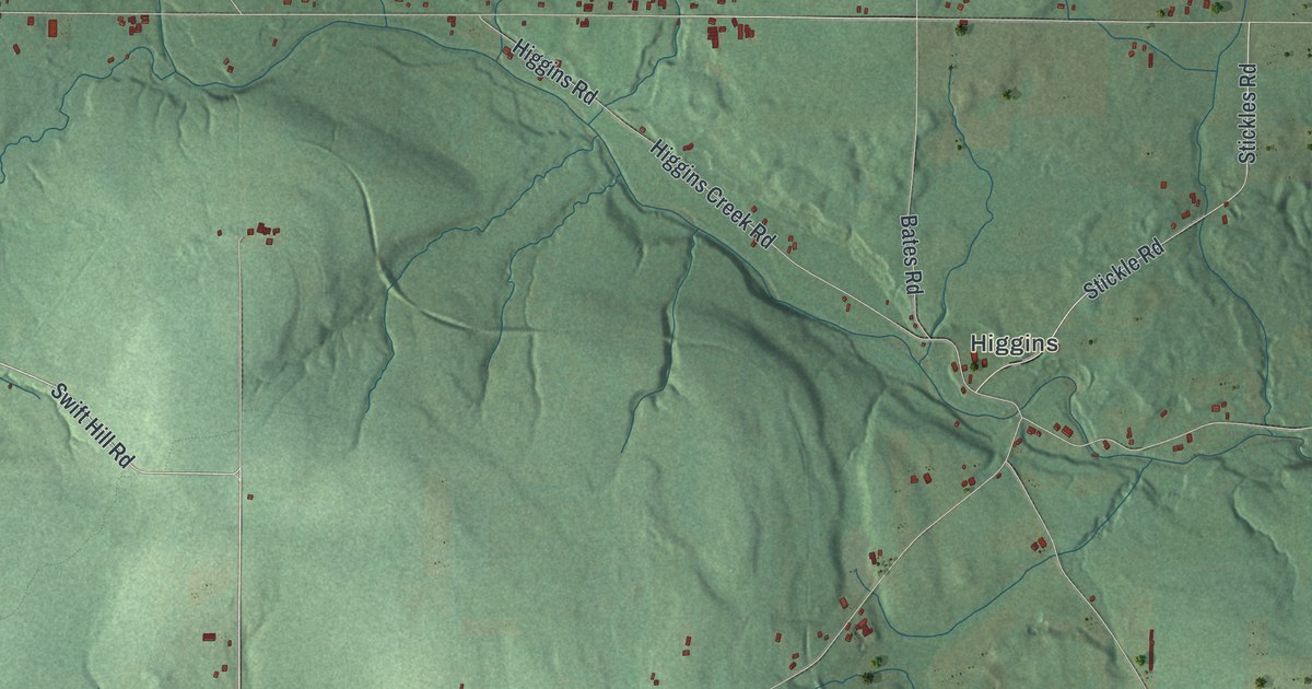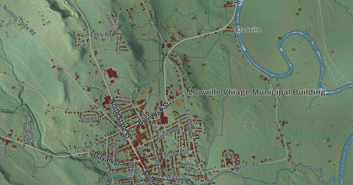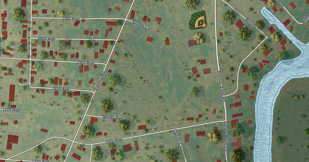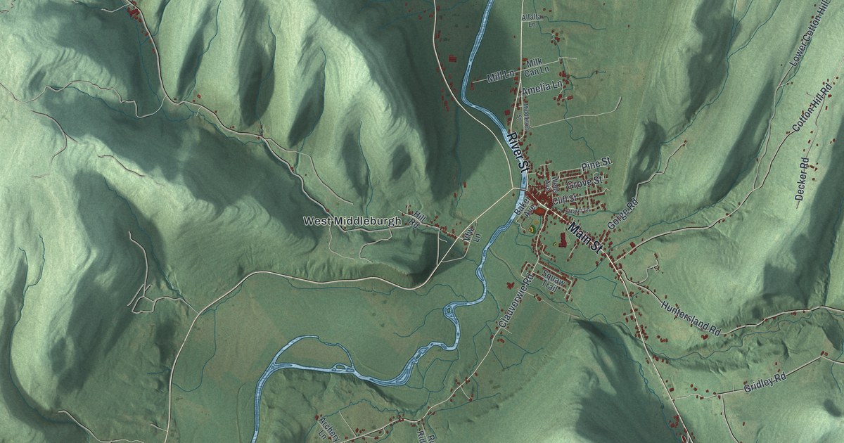
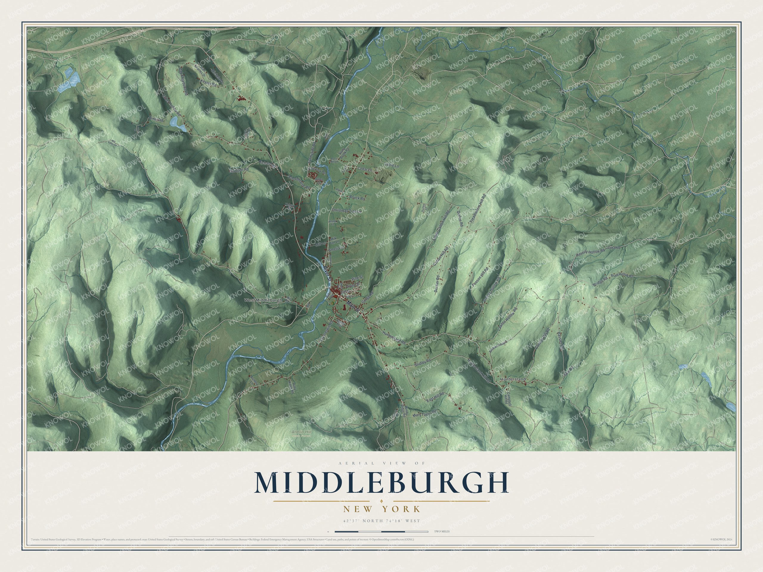
This beautifully detailed map of Middleburgh, New York was created in 2026 using aerial imagery combined with modern topographical, census, street and landmark data. It’s a one-of-a-kind view of Middleburgh that combines accurate data with a vintage aesthetic. The map shows every building in its true location, many of the roads carry their names, and the shaded topographic relief shows the shape of the land.
Explore an aerial view of Middleburgh, New York
On the map you’ll find Huntersland, West Middleburgh, and Armlin Hill State Forest, along with Main Street, River Street, Lawton Hollow Road, Bridge Road, Haverly Hollow Road, and more. If you look closely you can even find your house accurately drawn in its correct location. Zoom in on the preview to look for yours.
Did You Know?
Settlers arrived around 1712 near the site of Middleburgh village. Its founder, Johann Conrad Weiser, gave the settlement its first name, Weiser’s Dorf. The town was formed in 1797 as one of Schoharie County’s original towns. It was known as Middletown until 1801.
Take a closer look at the Middleburgh map
Names on this map
These names are printed on this map.
Places: Armlin Hill State Forest, Huntersland and West Middleburgh.
Streets and roads: Main Street, River Street, Lawton Hollow Road, Bridge Road, Haverly Hollow Road, Cedar Lane, Richard Road, Canady Hill Road, East Hill Road, Huntersland Road, Cotton Hill Road, Gridley Road.
More street names, A to Z
Alfalfa Lane, Alltown Road 2, Alpine Lane, Amelia Lane, Archery Lane, Ark Lane, Baker Avenue, Bassler Road, Bixby Road, Blodgett Road, Borst Mill Lane, Bouck Road, Bradt Hollow Road, Brooky Hollow Road, Campbell Hill Road, Canaday, Christmas Tree Lane, Clauverwie Road, Cliff Street, Clover Lane, Decker Road, Dolen Lane, Durfee Court, Durfee Road, Ecker Hollow Road, Gorge Road, Grove Street, Hill Road, Huntersland Hill Road, Joan Charles Drive, Kelsey Road, Keyser Road, Layne Lane, Lower Cotton Hill Road, Mary Taylor Road, Michele Drive, Middlefort Street, Milk Can Lane, Mill Lane, Mill Valley Road, New Road, Oak Meadows Road, Patent Lane, Pine Street, Posson Hill Road, Riverview Road, Ruby Ridge Road, Schoolhouse Road, Stony Brook Road, Straub Lane, Sunnyside Road, Treadlemire Hill Road, Twin Oaks Lane, Vfw Lane, Wells Avenue, Windy Ridge Road, Woods Road.
See it on a wall
The Middleburgh map as a framed print. Swipe for more.


This beautifully detailed map of Middleburgh makes an attractive addition to your office, library, or den, and it can even be used to teach children the geography and history of the area. It also makes a great gift for anyone with Middleburgh roots. When you’re done exploring, click here to get your copy of the Middleburgh map.