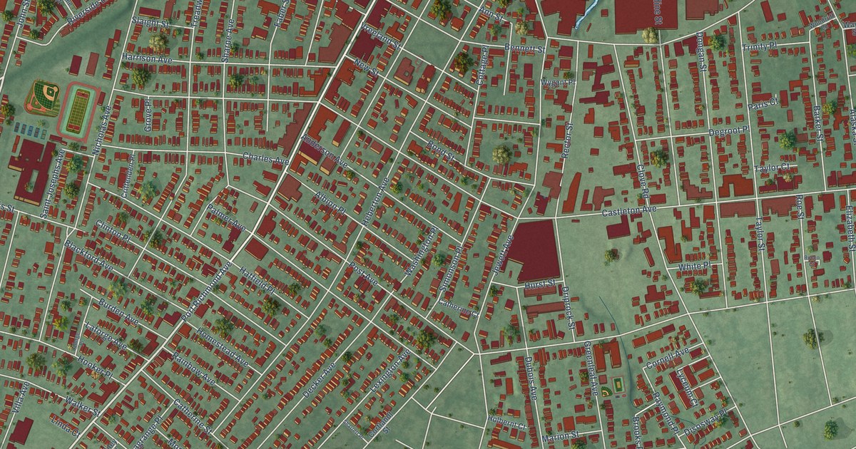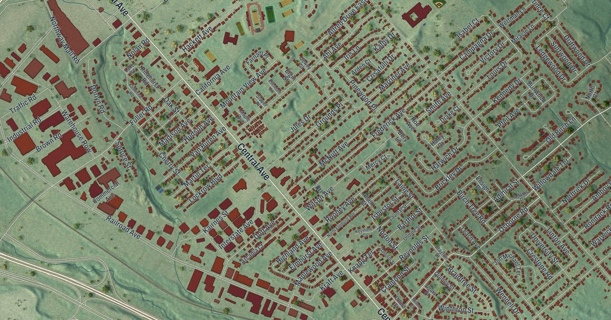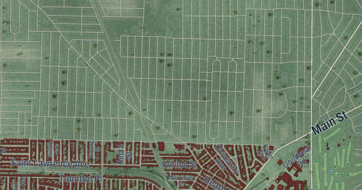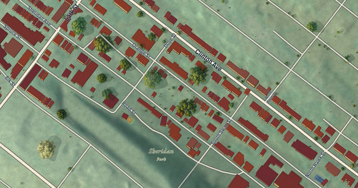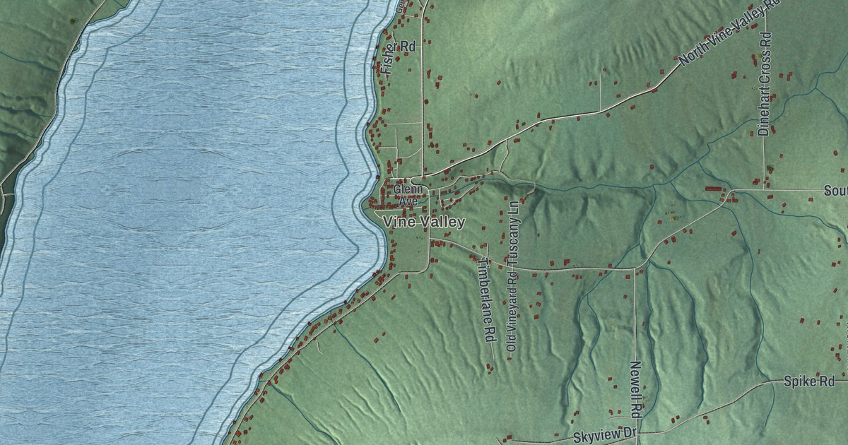
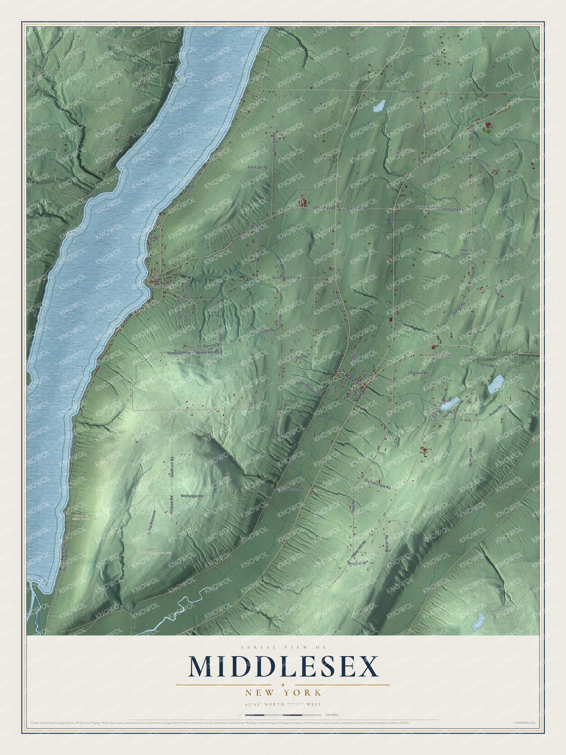
This beautifully detailed map of Middlesex, New York was created in 2026 using aerial imagery combined with modern topographical, census, street and landmark data. It’s a one-of-a-kind view of Middlesex that combines accurate data with a vintage aesthetic. The map shows every building in its true location, many of the roads carry their names, and the shaded topographic relief shows the shape of the land.
Explore an aerial view of Middlesex, New York
On the map you’ll find Pine Corners, Valley View, Williams Corner, Vine Valley, Great Hill Nature Preserve, and High Tor Wildlife Management Area, along with Water Street, Main Street, Town Line Road, Lake Road, Hill Road, and more. If you look closely you can even find your house accurately drawn in its correct location. Zoom in on the preview to look for yours.
Did You Know?
The first settlers came around 1789, and the town was formed in 1796. It was first called Augusta. In 1808 the name became Middlesex, to avoid mix-ups with another place called Augusta. The new name came from a historic region of England.
Take a closer look at the Middlesex map
Names on this map
These names are printed on this map.
Places: Pine Corners, Valley View, Williams Corner, Vine Valley, Great Hill Nature Preserve and High Tor Wildlife Management Area.
Streets and roads: Water Street, Main Street, Town Line Road, East Lake Road, Vine Valley Road, South Hill Road, North Vine Valley Road, Pierce Hill Road, Mill Street, Newell Road, West Avenue, Upper Hill Road.
More street names, A to Z
Bagley Road, Bare Hill Road, Bay Road, Burgess Drive, Button Cross Road, Caward Cross Road, Charland Road, Church Street, Clark Road, Dinehart Cross Road, Dorman Road, Dunton Road, Elwell Road, Emerson Road, Fisher Road, Genundewah Drive, Glenn Avenue, Gray Road, Hadsell Road, Hagerty Road, Hi-Tor Preserve, Hilton Road, Johnson Road, Kaltenback Road, Knapp Road, Lincoln Avenue, Lincoln Avenue Extended, Lindsley Road, Loomis Road, Maxwell Road, Mertz Road, Newell Hill Road, Old Vineyard Road, Red Clover, Roach Road, Shay Road, Skyview Drive, South Lake Road, South Vine Valley Road, Spike Road, Sunflower Avenue, Sunnyside Road, Timberlane Road, Tuscany Lane, Underwood Hill Road, Valley View Road, Van Epps Road, Viewboard Road, Warren Road, Wickam Road, Widmer Road, Wolfanger Road.
See it on a wall
The Middlesex map as a framed print. Swipe for more.


This beautifully detailed map of Middlesex makes an attractive addition to your office, library, or den, and it can even be used to teach children the geography and history of the area. It also makes a great gift for anyone who grew up in Middlesex or moved away. When you’re done exploring, click here to get your copy of the Middlesex map.