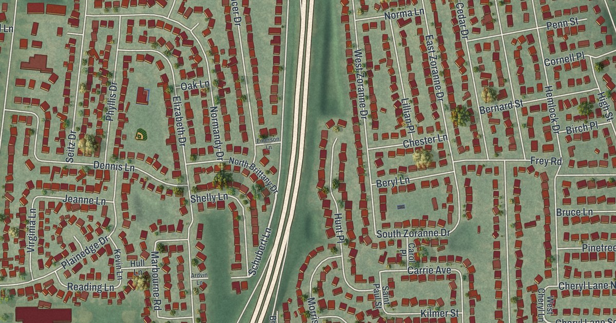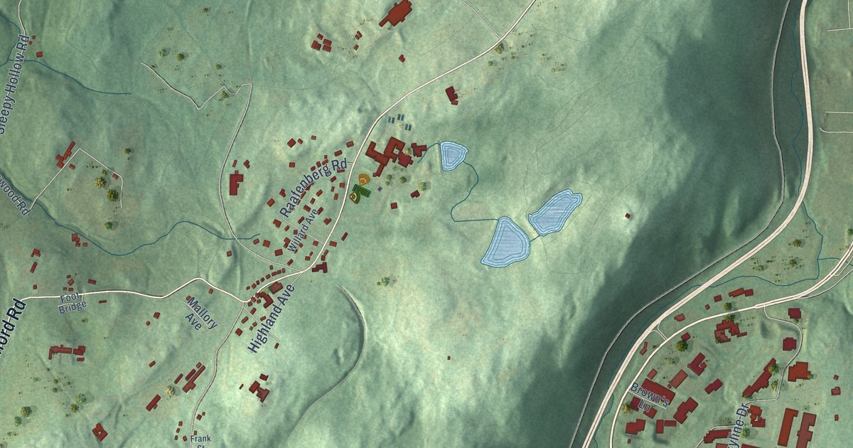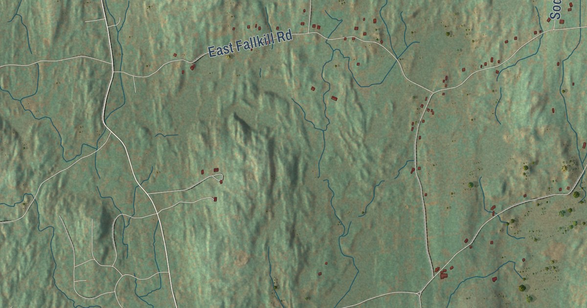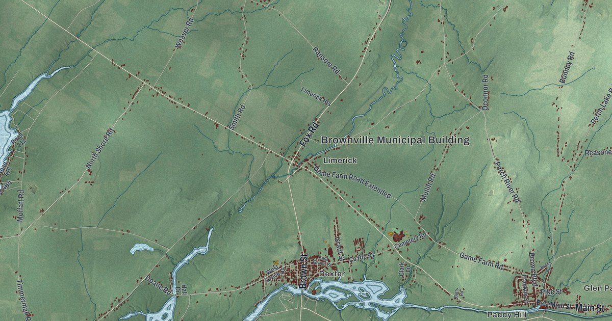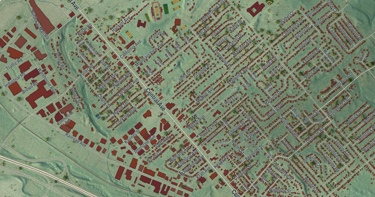
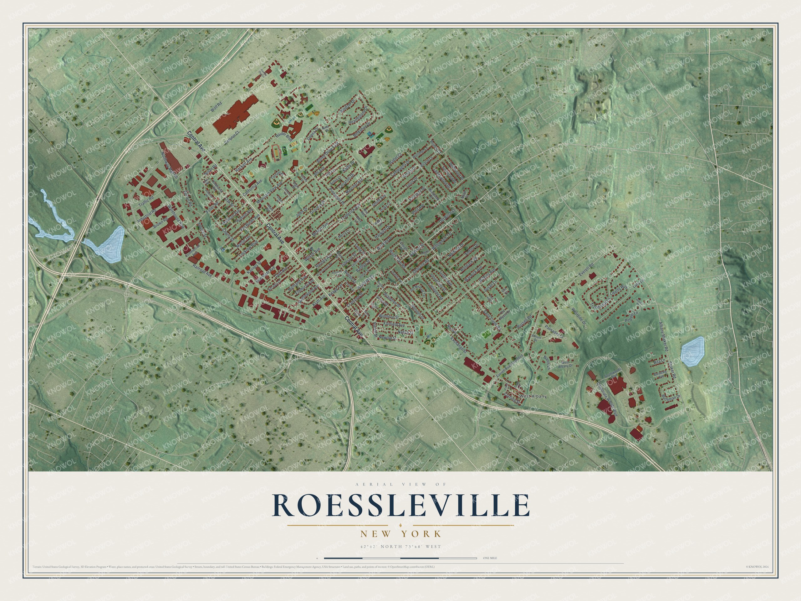
This beautifully detailed map of Roessleville, New York was created in 2026 using aerial imagery combined with modern topographical, census, street and landmark data. It’s a one-of-a-kind view of Roessleville that combines accurate data with a vintage aesthetic. The map shows every building in its true location, many of the roads carry their names, and the shaded topographic relief shows the shape of the land.
Explore an aerial view of Roessleville, New York
On the map you’ll find West Albany, along with Central Avenue, Osborne Road, Northway Mall Road, Colonie Court, Alfred Drive, and more. If you look closely you can even find your house accurately drawn in its correct location. Zoom in on the preview to look for yours.
Did You Know?
Roessleville takes its name from Theophilus Roessle, an immigrant from Germany. He built one of the most elegant mansions around Albany here. Today’s Elmhurst Avenue was once his gated driveway. The land had been Pine Bush pine barrens before it became farms and then a suburb.
Take a closer look at the Roessleville map
Names on this map
These names are printed on this map.
Places: West Albany.
Streets and roads: Central Avenue, Osborne Road, Northway Mall Road, Colonie Court, Alfred Drive East, Shaker Road, Willowdale Terrace, Pierce Street, Sand Creek Road, Railroad Avenue, Corporate Woods Boulevard, Albany Shaker Road.
More street names, A to Z
Adams Drive, Admiral Street, Ahl Avenue, Alsen Street, Amboy Drive, Arcadia Court, Arden Court, Atrium Drive, Barthol Street, Berkshire Drive, Birch Tree Road, Booth Lane, Braintree Street, Brayton Street, Brickley Drive, Brown Road, Buchman Drive, Burlwood Drive, California Avenue, Campagna Drive, Carol Ann Drive, Cherry Street, Clit Court, Cobee Lane, Commercial Avenue, Corning Street, Country Club Lane, Cramond Street, Crestone Road, Crisafulli Drive, Danforth Street, Dewey Street, Donna Drive, Dorlyn Road, Dory Lane, Dott Avenue, Drake Court, Driftwood Drive, Duffy Lane, Elgin Street, Ellendale Drive, Elmhurst Avenue, Ensign Place, Everett Road, Everett Road Extended, Exchange Street, Fairfield Avenue, Farnam Place, Frederick Avenue, Fuller Road, Grounds Place, Hackett Avenue, Haley Court, Harwich Drive, Hearthstone Drive, Highland Avenue, Hillview Road, Hudson Avenue, Industrial Road, Interstate Avenue, Iris Lane, Isabel Court, Isbestor Street, Jon Michael Terrace, Jules Drive, Kairnes Street, Katherine Road, Kathy Drive, Kennedy Drive, Keystone Court, Knapp Terrace, Kraft Avenue, Lacy Lane, Laing Street, Lake Road, Launfal Street, Leach Avenue, Ledgewood Drive, Liberty Way, Linton Avenue, Lockrow Boulevard, Louis Drive, Madison Avenue, Maple Avenue, Maplewood Avenue, Marriner Avenue, Martin Terrace, McNutt Avenue, Mercy Court, Milton Street, Miracle Lane, Mountain View Avenue, Natick Street, Newton Street, Nina Drive, Nolan Road, Norbrick Drive, North Court, North Elmhurst Avenue, North Street, Norton Street, Oak Street, Old Birch Lane, Old Myers Drive, Orford Street, Palisades Drive, Pepper Lane, Pfeil Avenue, Pinehurst Road, Pinewood Place, Prince Court, Quincy Street, Raider Boulevard, Reynolds Street, Rita Lane, Roe Avenue, Rondack Road, Rooney Avenue, Russell Road, Saradale Avenue, Smith Avenue, Southwoods Boulevard, Spruce Street, Stover Place, Surfwood Drive, Susan Lane, Traditional Lane, Traffic Road, Undine Street, University Street, Van Buren Avenue, Victory Drive, Vigars Place, Warehouse Row, Warwick Avenue, Wendell Drive, Wertman Lane, West Albany Drive, Westside Drive, Wilkins Avenue, Wilson Avenue, Windsor Drive, Winthrop Street, Wolf Road.
See it on a wall
The Roessleville map as a framed print. Swipe for more.


This beautifully detailed map of Roessleville makes an attractive addition to your office, library, or den, and it can even be used to teach children the geography and history of the area. It also makes a great gift for anyone with Roessleville roots. When you’re done exploring, click here to get your copy of the Roessleville map.