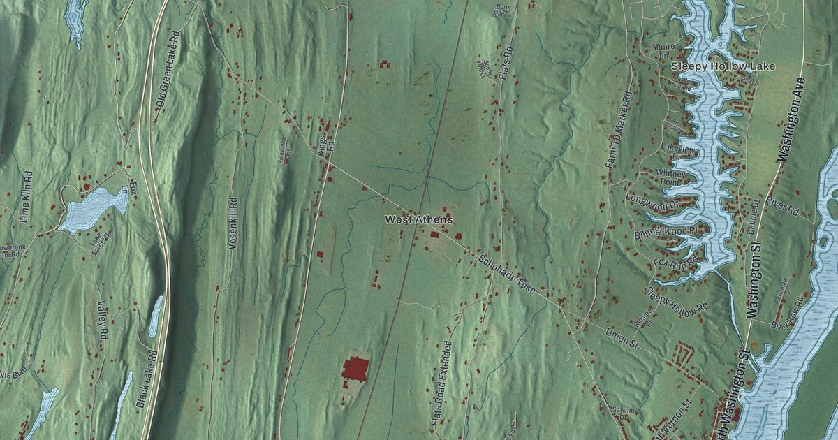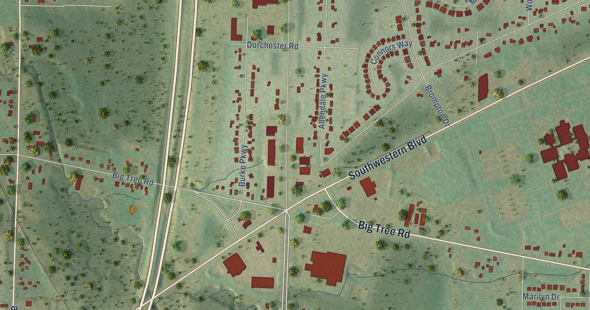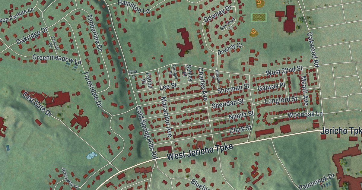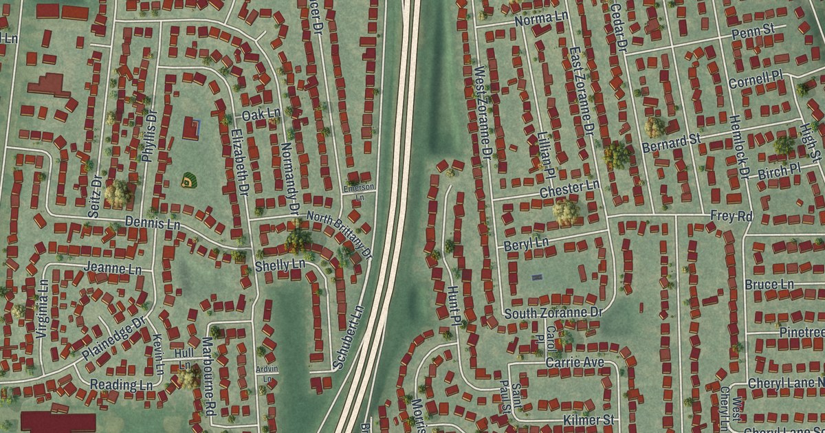
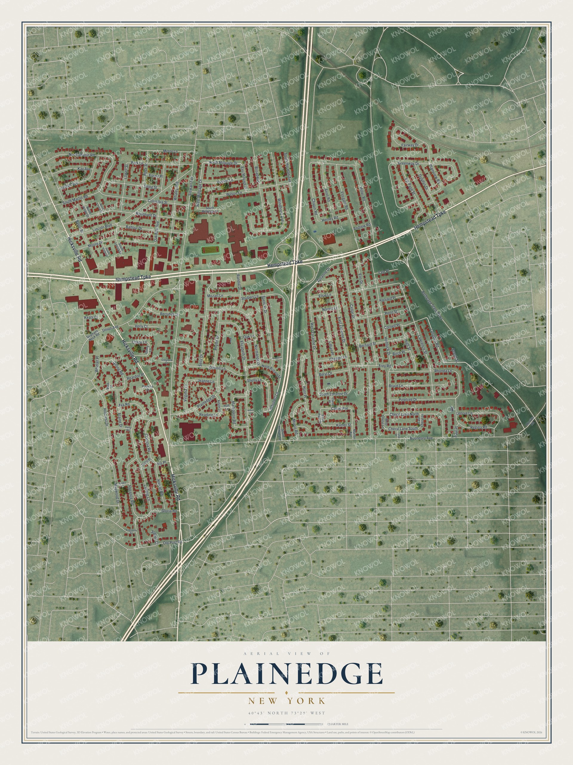
This beautifully detailed map of Plainedge, New York was created in 2026 using aerial imagery combined with modern topographical, census, street and landmark data. It’s a one-of-a-kind view of Plainedge that combines accurate data with a vintage aesthetic. The map shows every building in its true location, many of the roads carry their names, and the shaded topographic relief shows the shape of the land.
Explore an aerial view of Plainedge, New York
On the map you’ll find Hempstead Turnpike, Hicksville Road, Millpage Drive, Boundary Avenue, Schubert Lane, and more. If you look closely you can even find your house accurately drawn in its correct location. Zoom in on the preview to look for yours.
Did You Know?
In the early 1800s, Plainedge was known as Turkeyville. Its poultry farms were known for raising turkeys well. That name faded by 1845, when school district maps were drawn. The name Plainedge describes the edge of the Hempstead Plains, which stretched from Massapequa to Westbury.
Take a closer look at the Plainedge map
Names on this map
These names are printed on this map.
Streets and roads: Hempstead Turnpike, Hicksville Road, North Millpage Drive, Boundary Avenue, Schubert Lane, Cheryl Lane South, Langdon Road, West Millpage Drive, Bethpage State Parkway, Stewart Avenue, Cedar Drive, Lawrence Street.
More street names, A to Z
Andrew Road, Ardvin Lane, Ava Road, Avon Road, Balfour Drive, Beech Street, Bernard Street, Berryhill Lane, Beryl Lane, Birch Place, Broadway, Bruce Lane, Byron Street, Carol Place, Carrie Avenue, Chapin Road, Chase Lane, Cheryl Lane North, Chester Lane, Clarissa Road, Columbia Street, Cornell Place, Daisy Road, Dennis Lane, Dolphin Drive, East Cheryl Lane, East Millpage Drive, East Zoranne Drive, Elaine Drive, Elizabeth Drive, Elm Drive, Elsie Lane, Emerson Lane, Essen Place, Fairway Drive, Florence Road, Florgate Road, Frey Road, Gilling Road, Ginny Lane, Gloria Road, Greenway Drive, Greyrock Court, Harriet Road, Harvard Place, Hemlock Drive, Henley Road, High Street, Hillcrest Drive, Hoover Lane, Hull Lane, Hunt Place, Iris Place, Irving Street, Jeanne Lane, Joseph Avenue, Joyce Place, Kay Avenue, Keats Court, Kevin Lane, Kilmer Street, Kingsberry Road, Lenore Lane, Lillian Place, Lincoln Boulevard, Lowell Street, Ludwig Lane, Marbourne Road, Marlon Avenue, Maywood Drive, Merritts Road, Miller Road, Moore Drive, Morris Road, Motor Lane, Mozart Lane, Norma Lane, Normandy Drive, North Brittany Drive, North Lerisa Street, North Martin Road, North Violet Street, Oakdale Avenue, Oak Lane, Old Post Road, Park Lane, Patricia Court, Paul Place, Penn Street, Phyllis Drive, Pinetree Drive, Plainedge Drive, Plainview Road, Randal Drive, Reading Lane, Reardon Place, Regina Road, Rhonda Lane, Roosevelt Drive, Rose Street, Saint Paul Street, Sandra Lane, Seamans Neck Road, Seitz Drive, Shelly Lane, Shubert Lane, South Brittany Drive, South Herman Avenue, South Lerisa Street, South Martin Road, South Millpage Drive, South Violet Street, South Zoranne Drive, Spencer Drive, Steven Court, Tulip Drive, Union Avenue, Val Page Street, Verly Court, Virginia Lane, Well Court, West Cheryl Lane, West Zoranne Drive, Whaley Avenue, Whelan Place, Wilson Lane, Windhorst Avenue, Yale Place, Zoranne Drive.
See it on a wall
The Plainedge map as a framed print. Swipe for more.


This beautifully detailed map of Plainedge makes an attractive addition to your office, library, or den, and it can even be used to teach children the geography and history of the area. It also makes a great gift for anyone who grew up in Plainedge or moved away. When you’re done exploring, click here to get your copy of the Plainedge map.