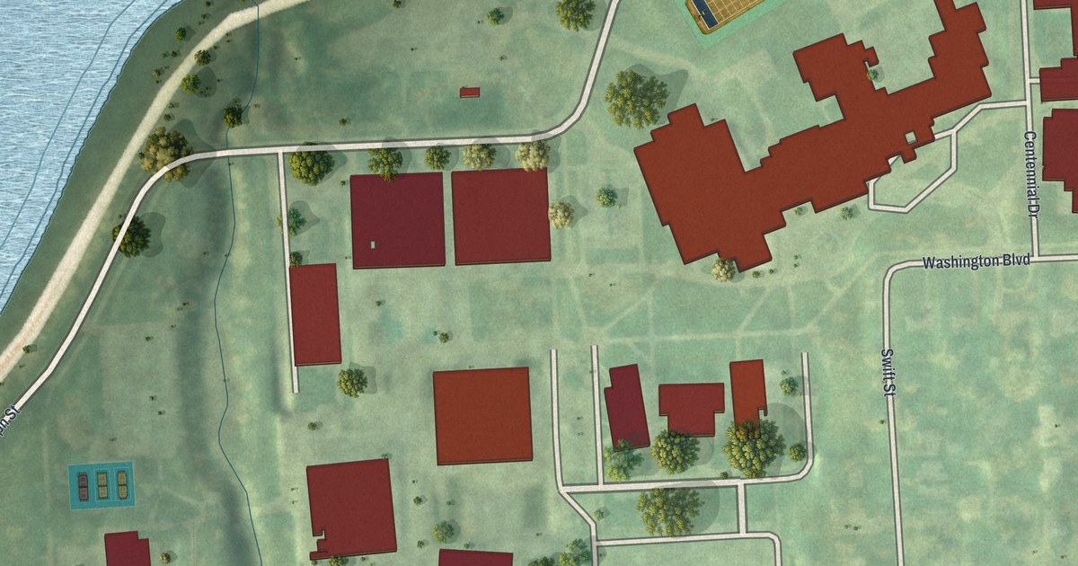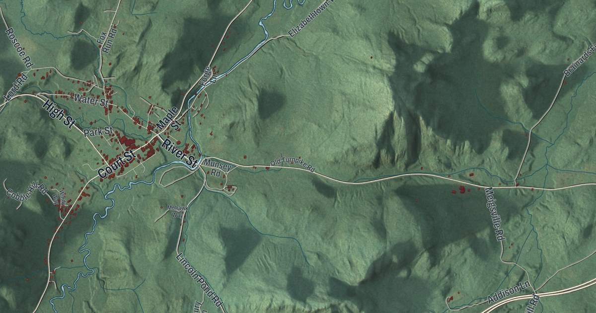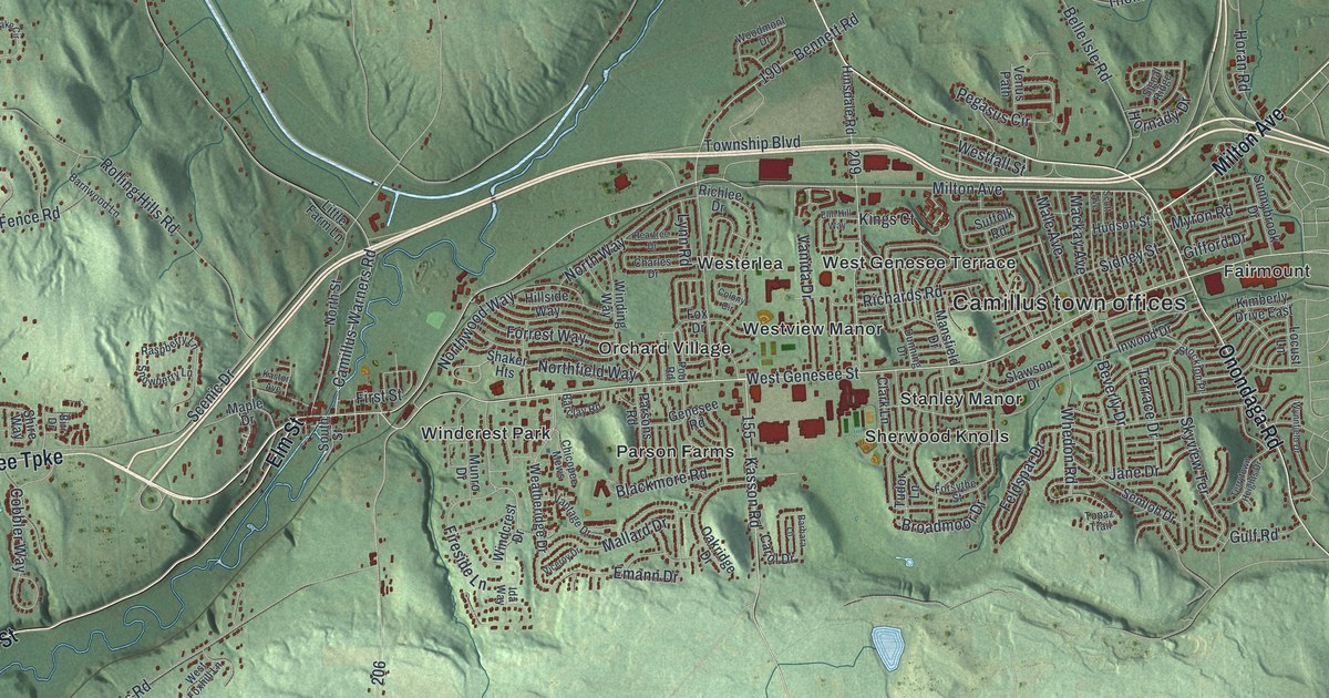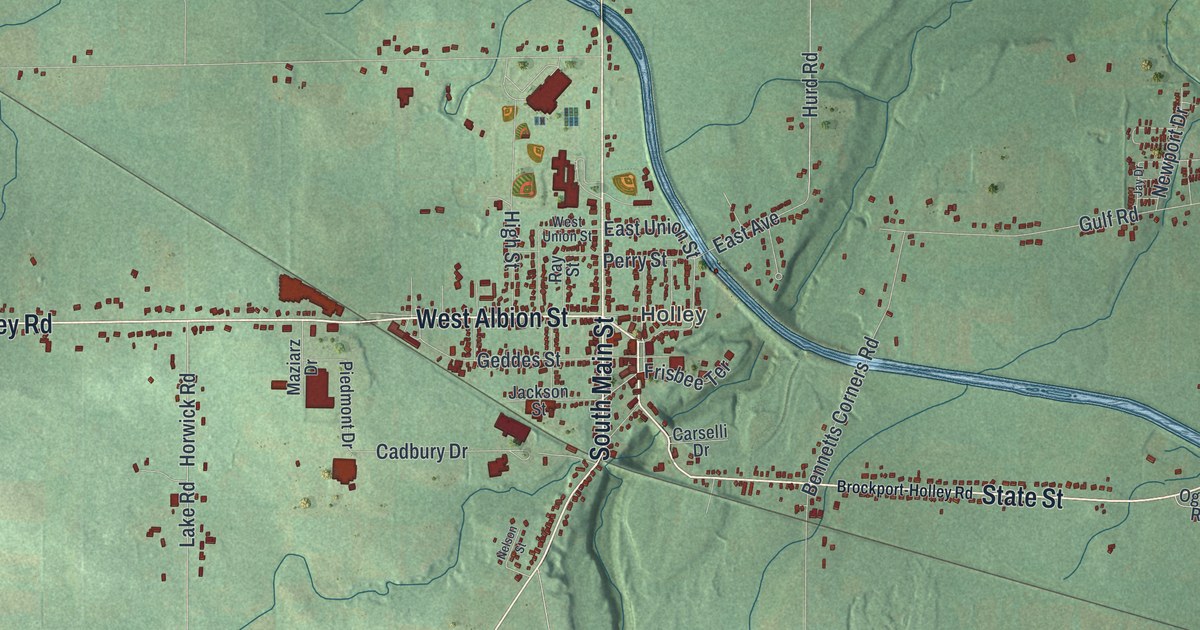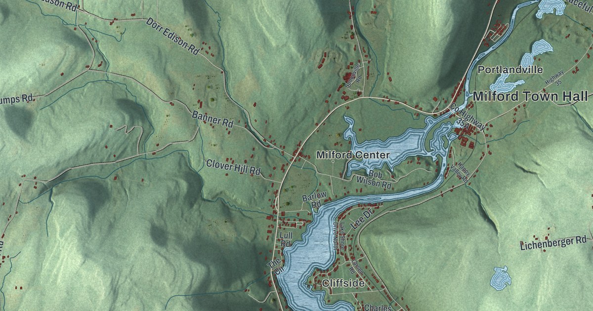
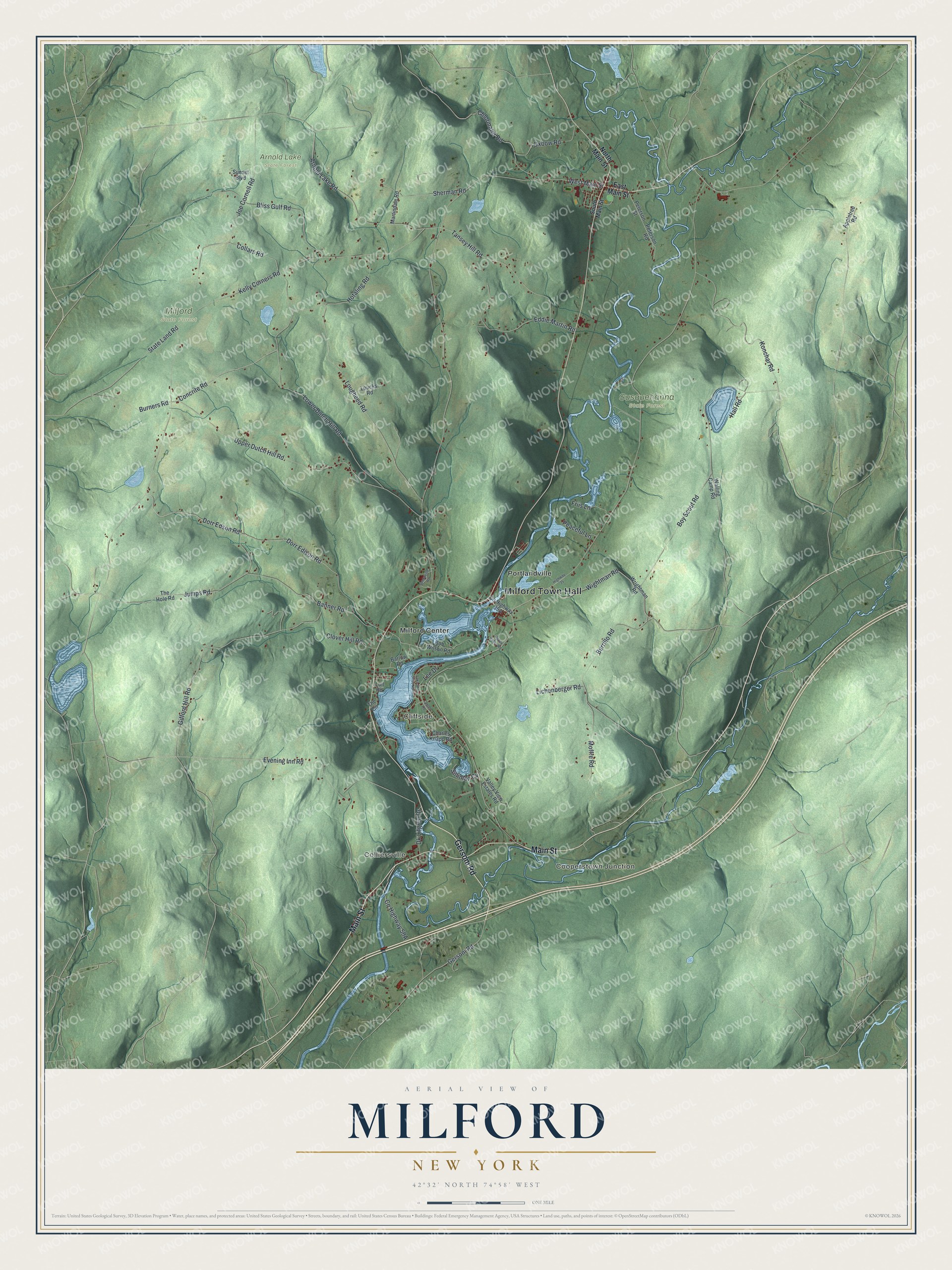
This beautifully detailed map of Milford, New York was created in 2026 using aerial imagery combined with modern topographical, census, street and landmark data. It’s a one-of-a-kind view of Milford that combines accurate data with a vintage aesthetic. The map shows every building in its true location, many of the roads carry their names, and the shaded topographic relief shows the shape of the land.
Explore an aerial view of Milford, New York
On the map you’ll find Milford Town Hall, Cooperstown Junction, Colliersville, Cliffside, Milford Center, Portlandville, Arnold Lake State Forest, and Susquehanna State Forest, along with Gersoni Road, Main Street, Concrite Road, Dorr Edson Road, and more. If you look closely you can even find your house accurately drawn in its correct location. Zoom in on the preview to look for yours.
Did You Know?
In 1772 Matthew Cully arrived with his son David. A year later they started a settlement close to today’s Milford Center. The Revolutionary War broke up their work. In 1783 Major Cully came back with his sons, and their cabin was still standing. They improved the land and sold it to Thomas Mumford in 1784. That’s from the Town of Milford.
Take a closer look at the Milford map
Names on this map
These names are printed on this map.
Places: Milford Town Hall, Cooperstown Junction, Colliersville, Cliffside, Arnold Lake State Forest, Milford State Forest, Susquehanna State Forest, Milford Center and Portlandville.
Streets and roads: Gersoni Road, Main Street, Concrite Road, Dorr Edson Road, Dorr Edison Road, Kelly Corners Road, Lougheed Road, Boy Scout Road, Upper Dutch Hill Road, Lower Dutch Hill Road, Gifford Hill Road, Evening Inn Road.
More street names, A to Z
Appletree Road, Arnold Lake Road, Banner Road, Barlow Road, Bliss Gulf Road, Bob Wilson Road, Burners Road, Burrillo Road, Charles Knapp Road, Chlorinator Road, Clover Hill Road, Collars Road, Dk Lifgren Drive, East Main Street, Eddie Martin Road, Friis Lane, Hall Road, Happy Valley Road, Highway 35, Hotaling Road, Joe Cornell Road, Jumps Road, Konchar Road, Lake Shore Drive North, Larsen Road, Lee Drive, Lichenberger Road, Loucks Road, Lull Road, Martindale Road, Moffre Road, North Main Street, Oxbow Road, Peaceful Lane, Peterson Road, Peterson Street, Sherman Road, Silliman Cv, South Main Street, Spoonville Road, State Land Road, Sunset Boulevard, Tansey Hill Road, The Circle, The Hole Road, Valley View Estates Road, Walling Camp Road, West Main Street, Wightman Road, Wrightman Road.
See it on a wall
The Milford map as a framed print. Swipe for more.


This beautifully detailed map of Milford makes an attractive addition to your office, library, or den, and it can even be used to teach children the geography and history of the area. It also makes a great gift for anyone with Milford roots. When you’re done exploring, click here to get your copy of the Milford map.