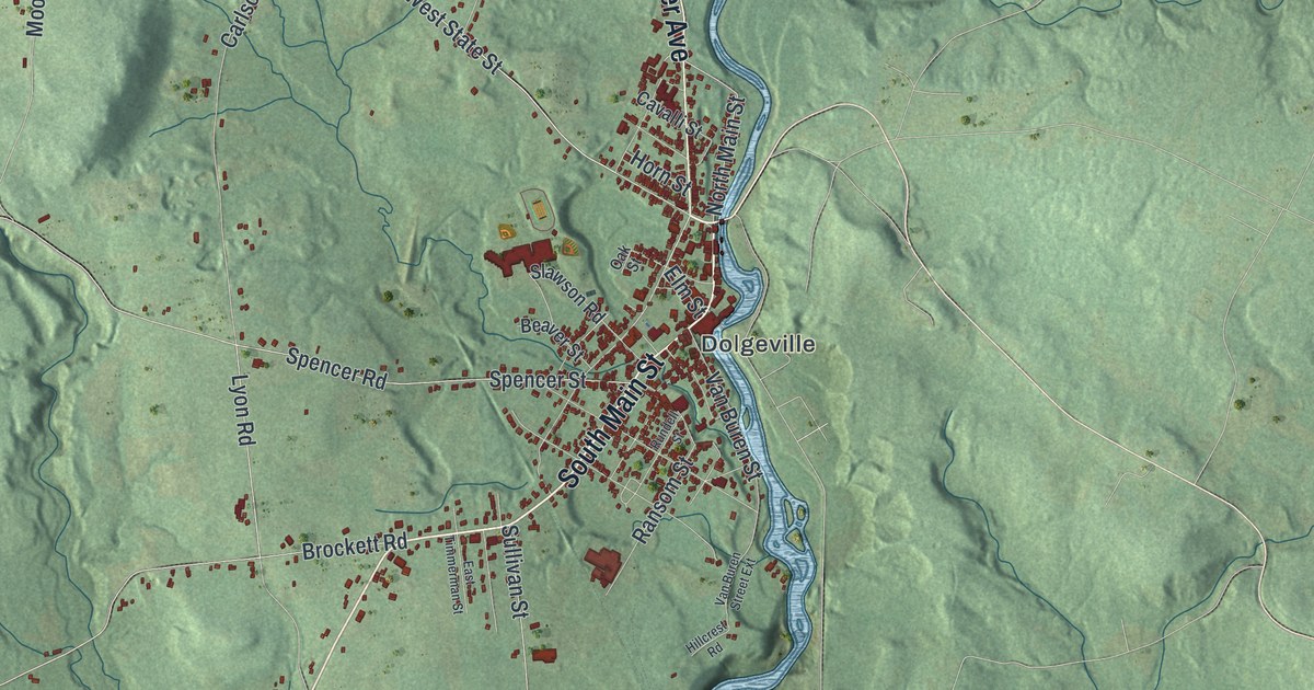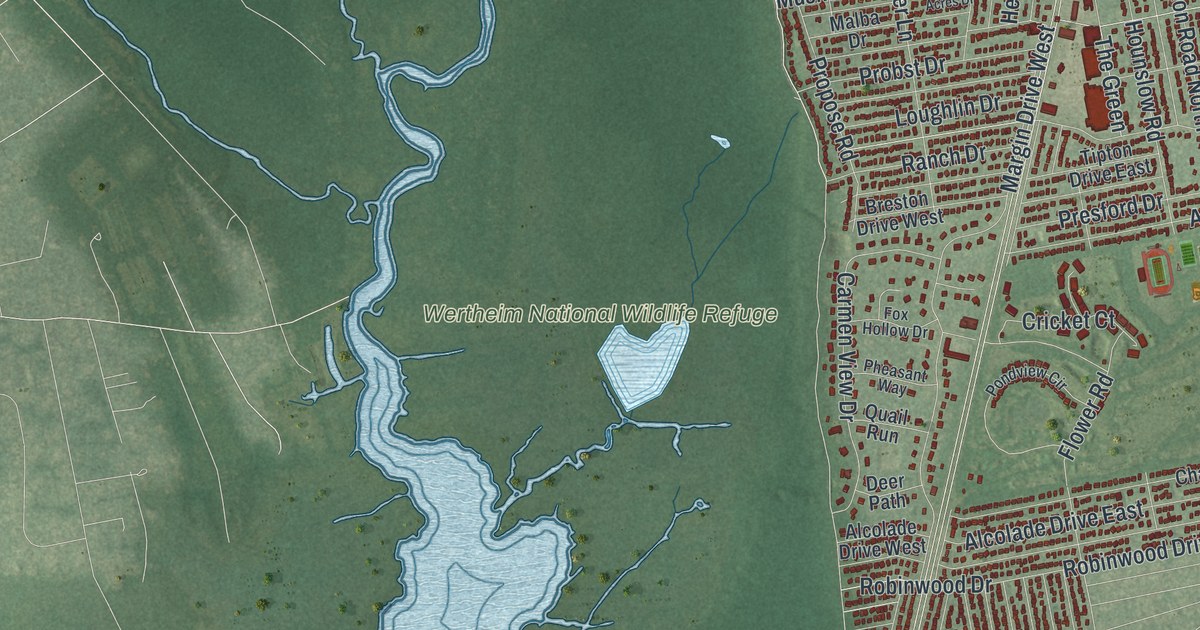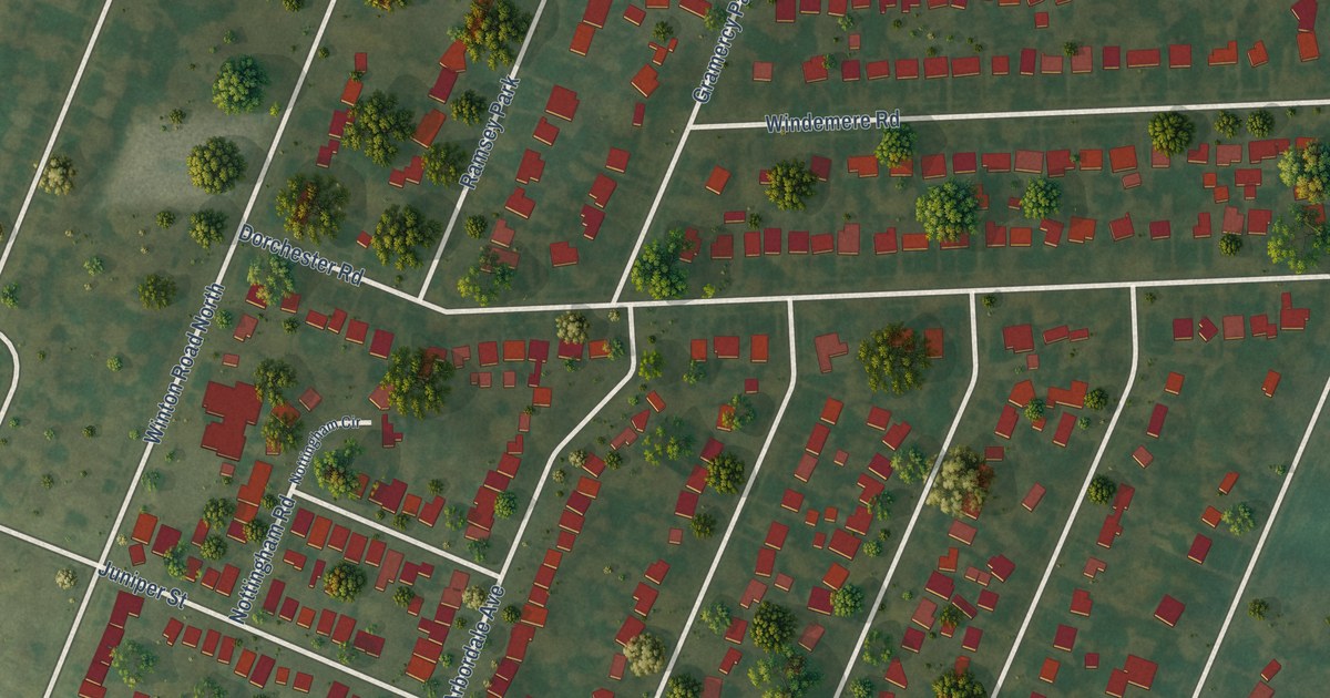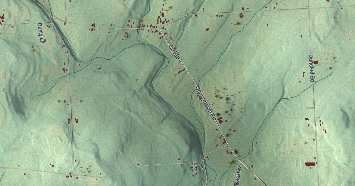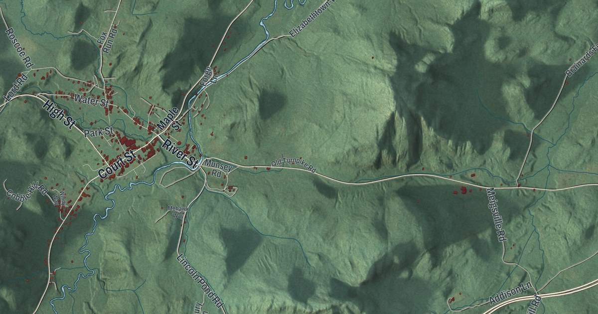
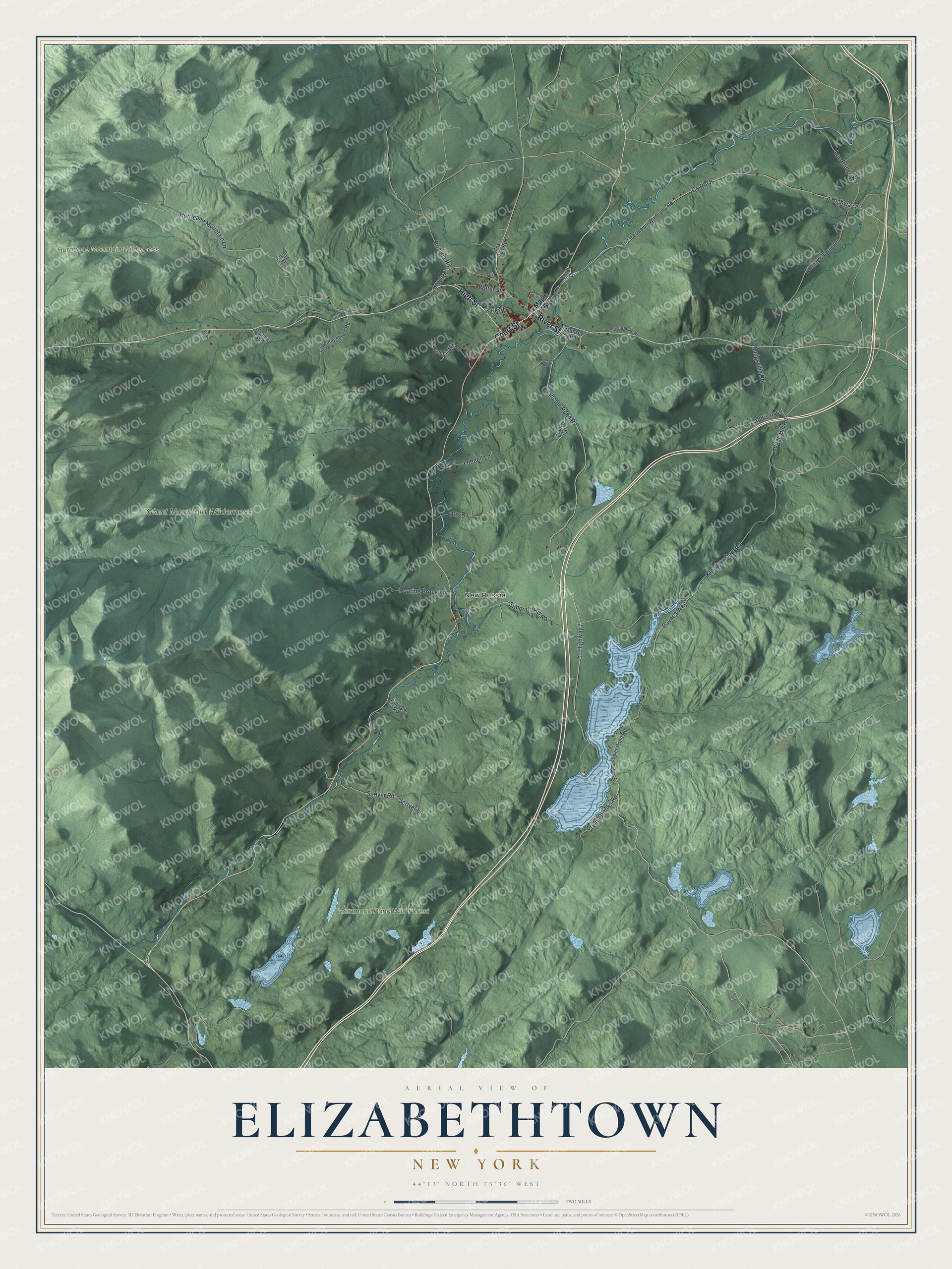
This beautifully detailed map of Elizabethtown, New York was created in 2026 using aerial imagery combined with modern topographical, census, street and landmark data. It’s a one-of-a-kind view of Elizabethtown that combines accurate data with a vintage aesthetic. The map shows every building in its true location, many of the roads carry their names, and the shaded topographic relief shows the shape of the land.
Explore an aerial view of Elizabethtown, New York
On the map you’ll find New Russia and Hammond Pond Wild Forest, along with River Street, High Street, Court Street, Maple Street, Lincoln Pond Road, and more. If you look closely you can even find your house accurately drawn in its correct location. Zoom in on the preview to look for yours.
Did You Know?
The body of John Brown lay in state in the Essex County Courthouse at Elizabethtown. It was then carried to North Elba for burial. Lumbering here peaked about 1870 and then fell off quickly. Summer visitors began coming in the 1870s, and big rambling hotels went up to hold them. That’s from the 1940 WPA guide to New York.
Take a closer look at the Elizabethtown map
Names on this map
These names are printed on this map.
Places: New Russia, Giant Mountain Wilderness, Hammond Pond Wild Forest and Hurricane Mountain Wilderness.
Streets and roads: River Street, High Street, Court Street, Lincoln Pond Road, Roscoe Road, Ledge Hill Road, Lee Bridge Road, County Highway 7, County Highway 8, County Route 8, Hurricane Mountain Lane, Kingdom Dam Road.
More street names, A to Z
Addison Lane, Brainards Forge Road, Calkins Way, Cedar Way, Cobble Hill Road, Crowningshield Road, Darling Road, Elizabethtown-Wadhams Road, Fleury Lane, Forge Lane, Fox Run Road, Gilligan Road, Lobdell Lane, Lobdell Road, Lord Road, Lower Pond Road, Maple Street, Meigsville Road, Mohawk Way, Munsey Road, Old Turnpike Road, Otis Road, Park Street, Paynes Way, Roaring Brook Lane, Scriver Lane, Scriver Road, Simonds Hill Road, Twin Brooks Road, Water Street, Windy Way.
See it on a wall
The Elizabethtown map as a framed print. Swipe for more.


This beautifully detailed map of Elizabethtown makes an attractive addition to your office, library, or den, and it can even be used to teach children the geography and history of the area. It also makes a great gift for someone who left Elizabethtown and still calls it home. When you’re done exploring, click here to get your copy of the Elizabethtown map.