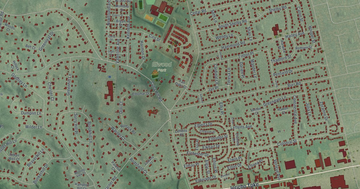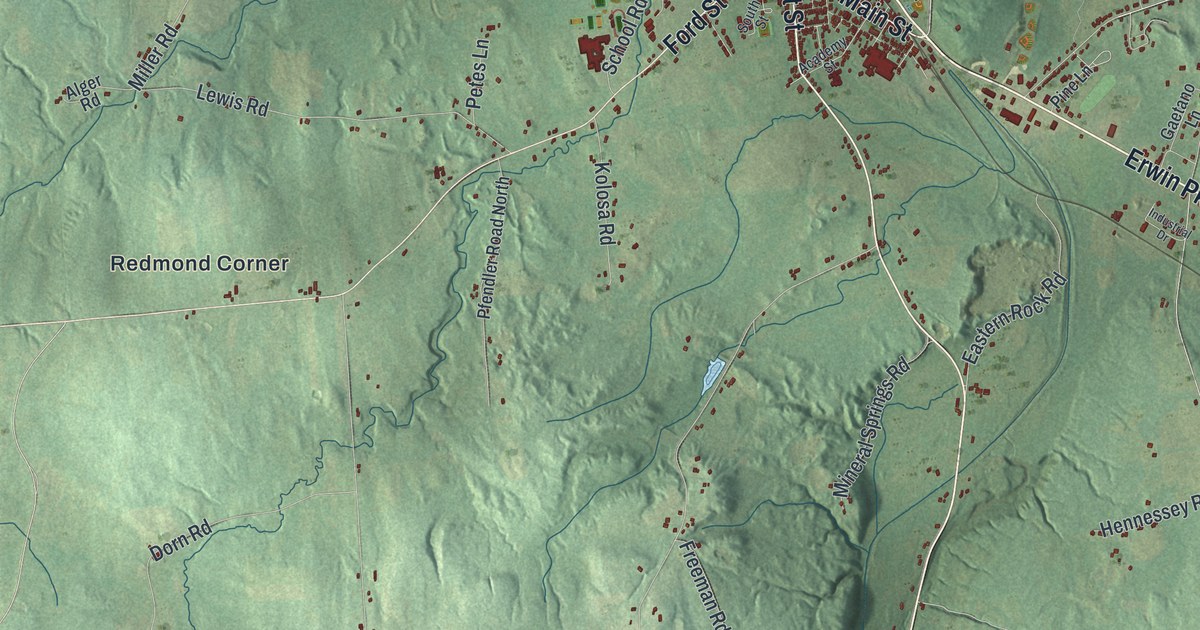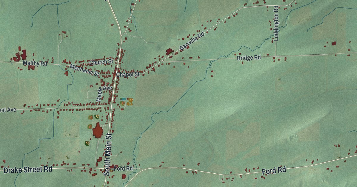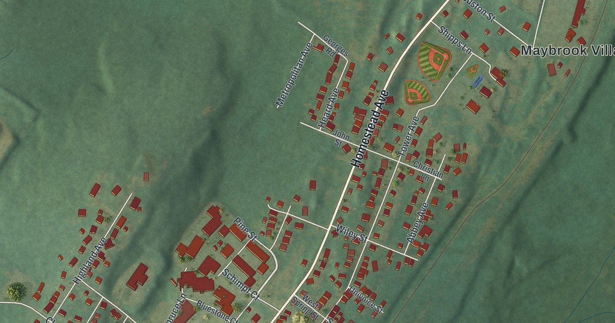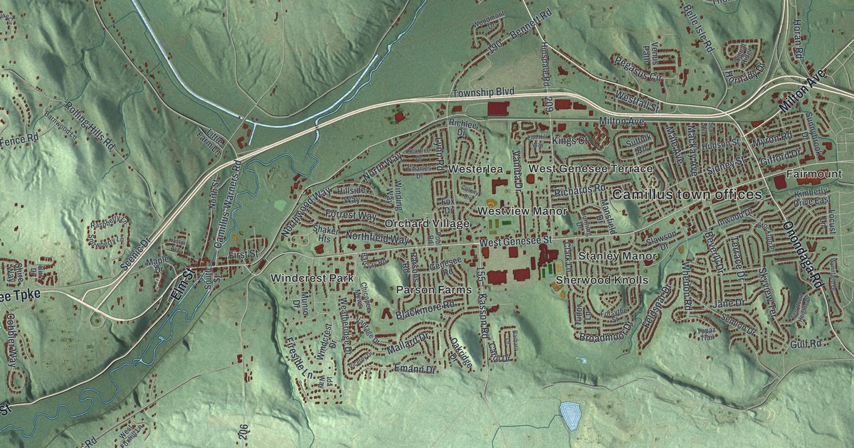
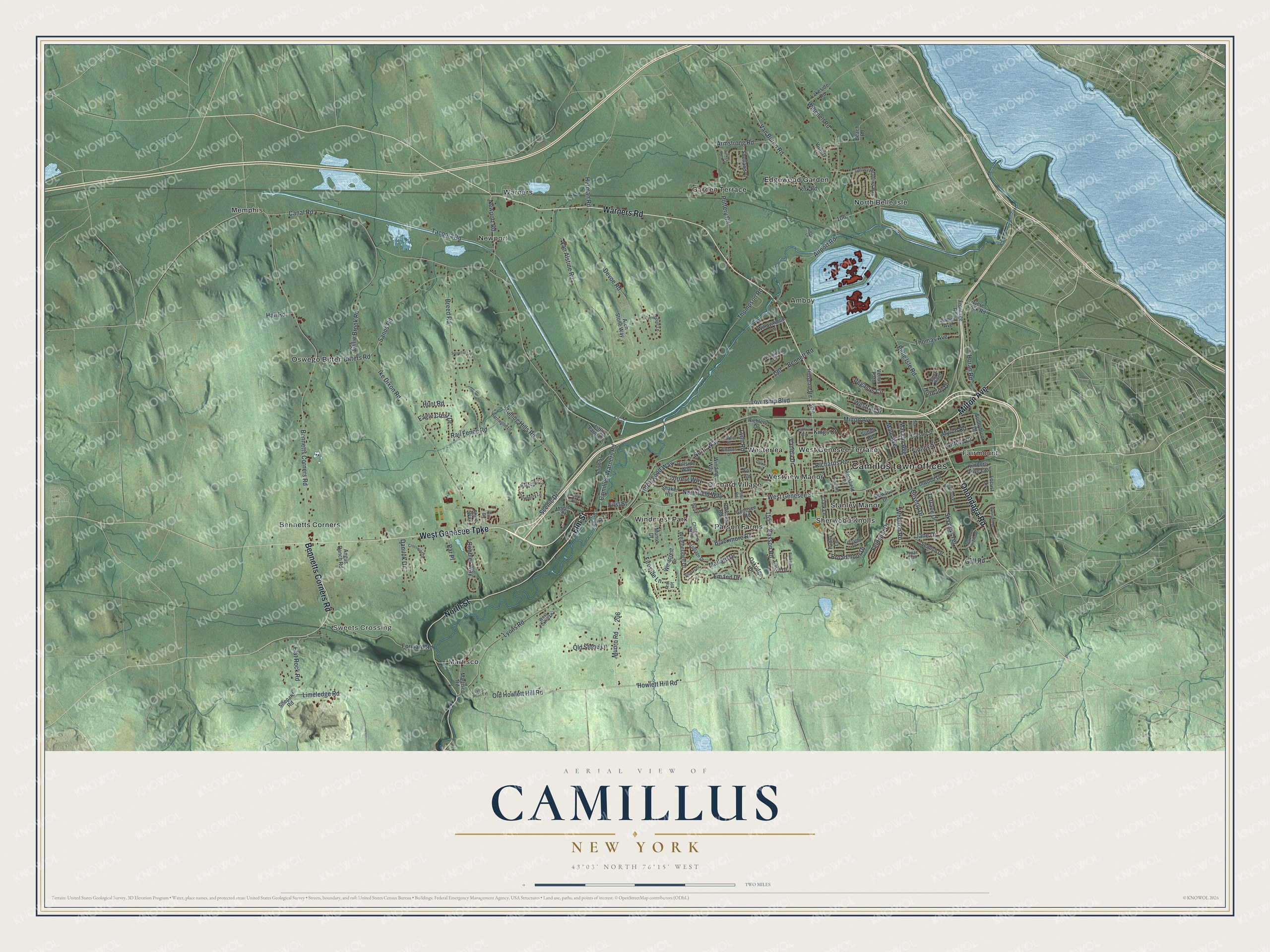
This beautifully detailed map of Camillus, New York was created in 2026 using aerial imagery combined with modern topographical, census, street and landmark data. It’s a one-of-a-kind view of Camillus that combines accurate data with a vintage aesthetic. The map shows every building in its true location, many of the roads carry their names, and the shaded topographic relief shows the shape of the land.
Explore an aerial view of Camillus, New York
On the map you’ll find Camillus town offices, Sweets Crossing, Amboy, Bennetts Corners, Edgewood Garden, and Fairmount, along with Genesee Turnpike, Warners Road, Milton Avenue, Elm Street, and more. If you look closely you can even find your house accurately drawn in its correct location. Zoom in on the preview to look for yours.
Did You Know?
Camillus is one of the places that claims to be the birthplace of the Republican party. On January 27, 1852, 336 villagers called a meeting at Rowe’s Hotel. There they set out the principles of the party, three years before the national organization was formed. That’s from the 1940 WPA guide to New York.
Take a closer look at the Camillus map
Names on this map
These names are printed on this map.
Places: Camillus town offices, Sweets Crossing, Amboy, Bennetts Corners, Edgewood Garden, Fairmount, Garden Terrace, Martisco, Memphis, Newport, North Belle Isle, Orchard Village, Oswego Bitter, Parson Farms, Sherwood Knolls, Stanley Manor, Warners, West Genesee Terrace, Westerlea, Westview Manor and Windcrest Park.
Streets and roads: West Genesee Turnpike, Warners Road, Milton Avenue, Elm Street, Onondaga Road, North Street, Bennetts Corners Road, West Genesee Street, Thomas Avenue, Van Buren Road, Belle Isle Road, Old Howlett Hill Road.
More street names, A to Z
Airport Road, Angus Ranch Road, Arch Stone Way, Armstrong Road, Barbara Lane, Barclay Road, Barnwood Lane, Beach Road, Bennett Road, Beverly Drive, Birr Drive, Bitters Road, Blackmore Road, Breed Road, Broadmoor Drive, Camillus-Warners Road, Canal Road, Carol Drive, Charles Drive, Chicopee Mews, Clark Lane, Cobbler Way, Colony Circle, Crosswind Drive, Daniluk Drive, Devoe Road, Dunning Drive, Eagle Crest Drive, Elm Hill Way, Emann Drive, Feldspar Drive, Fireside Lane, First Street, Flat Rock Road, Forrest Way, Forsythe Street, Forward Road, Fox Drive, Frontage Road, Genesee Road, Gere Lock Road, Gifford Drive, Gillie Brook Road, Golden Meadows Way, Gulf Road, Hall Road, Herman Road, Hillside Way, Hinsdale Road, Horan Road, Hornady Drive, Howlett Hill Road, Hudson Lane, Hudson Street, Hunt Road, Ida Way, Ike Dixon Road, Inwood Drive, James Avenue, Jane Drive, Kasson Road, Kastor Avenue, Kimberly Drive East, Kings Court, Kirk Road, Lakeside Road, Limeledge Road, Little Farm Lane, Locust Lane, Lynn Road, Lyons Road, Lyons Road Extension, Mackay Avenue, Male Avenue, Mallard Drive, Mansfield Drive, Maple Drive, Martisco Road, Munro Drive, Munro Road, Myron Road, Newport Road, Northfield Way, North Way, Northwood Way, Oakridge Drive, Old Stone Lane, Par Place, Parsons Road, Peartree Drive, Pegasus Circle, Pool Road, Pottery Road, Rail Fence Road, Raspberry Lane, Richards Road, Richlee Drive, Rolling Hills Road, Sands Road, Scenic Drive, Scott Avenue, Semloh Drive, Shaker Heights, Shepard Road, Shetland Place, Shire Way, Sidney Street, Signal Ridge, Skyview Terrace, Slawson Drive, Snowberry Lane, Snowflake Circle, South Street, Stockton Place, Suffolk Road, Sunnybrook Drive, Tacoma Road, Terrace Drive, Terrytown Heights Drive, Thompson Road, Topaz Trail, Township Boulevard, Tudor Lane, Turkey Run Lane, Van Alstine Road, Vanida Drive, Vantage Drive, Venus Path, Viceroy Drive, Victory Lane, Viewpoint Lane, Weatheridge Drive, Westfall Street, West Foxhill Lane, Whedon Road, Willowwood Lane, Winchell Road, Windcrest Drive, Winding Way, Woodmont Drive, Wynnfield Drive.
See it on a wall
The Camillus map as a framed print. Swipe for more.


This beautifully detailed map of Camillus makes an attractive addition to your office, library, or den, and it can even be used to teach children the geography and history of the area. It also makes a great gift for anyone with Camillus roots. When you’re done exploring, click here to get your copy of the Camillus map.