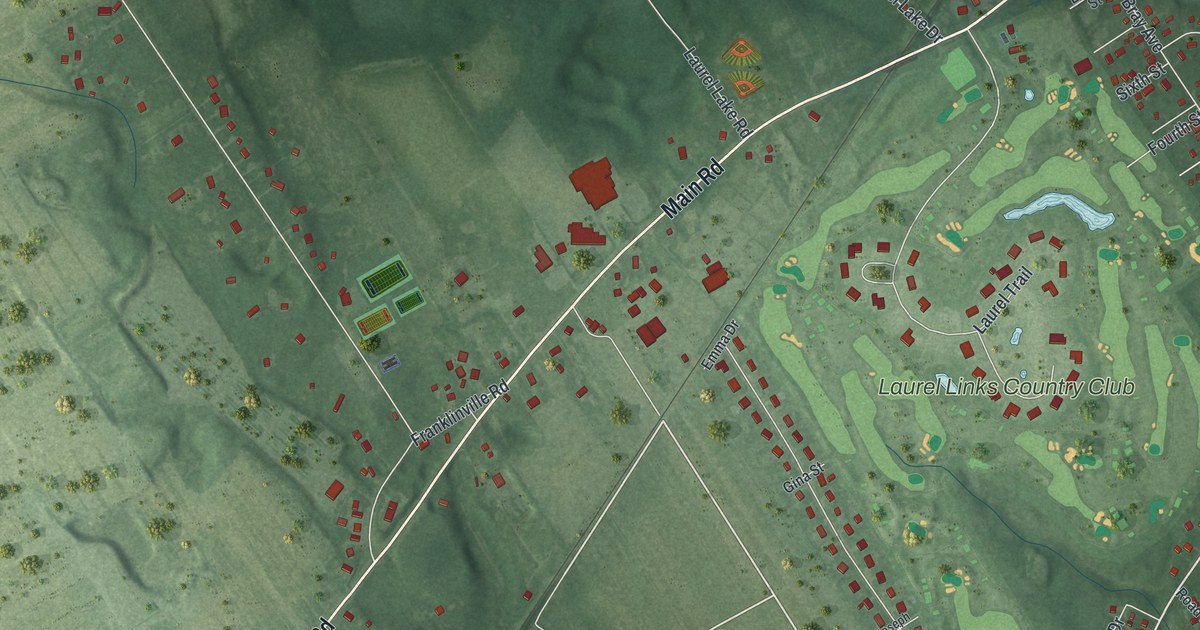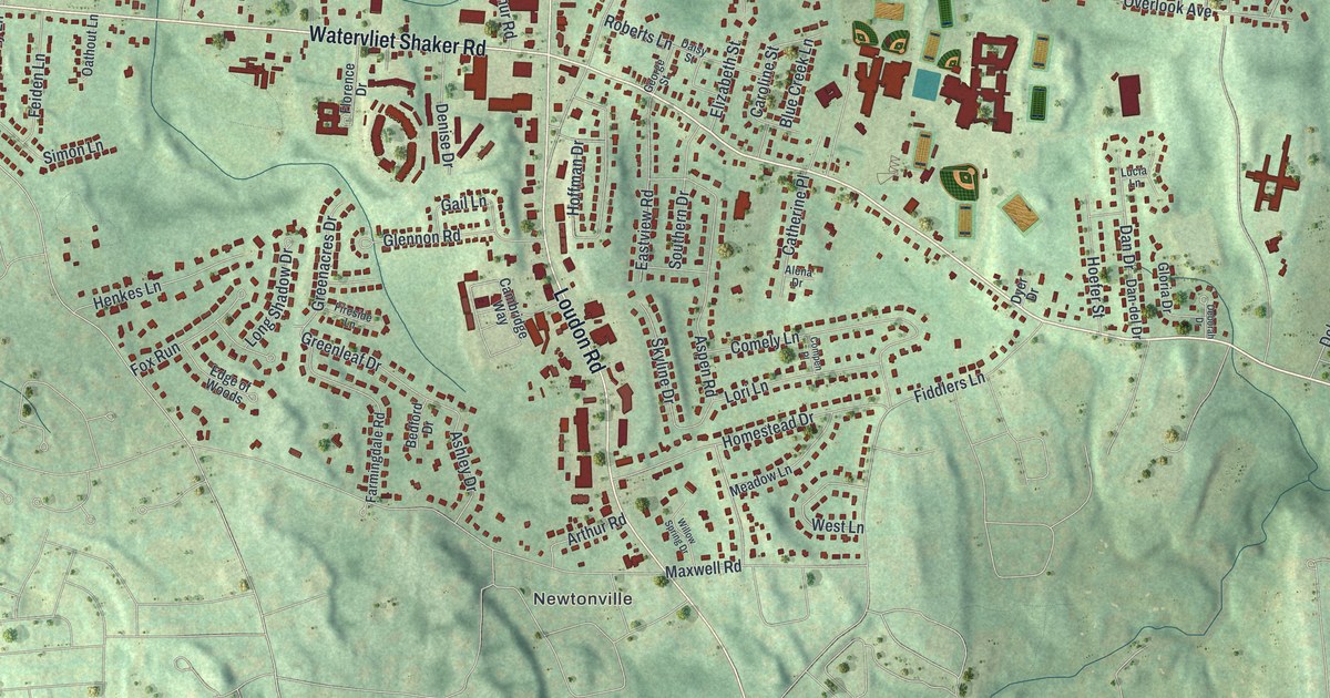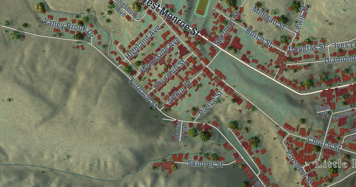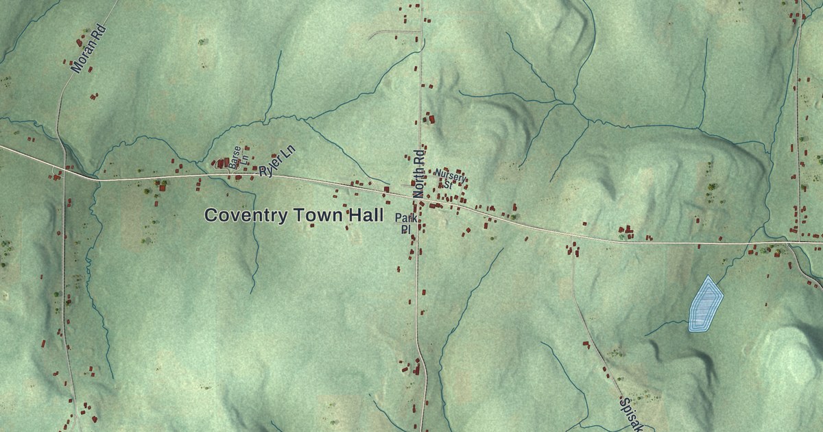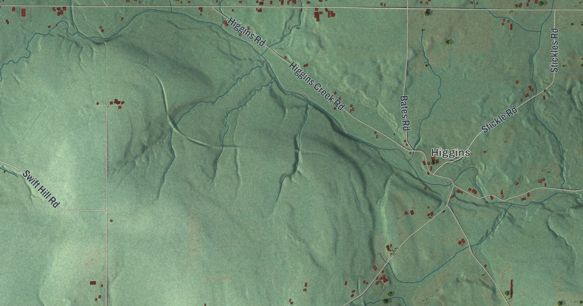
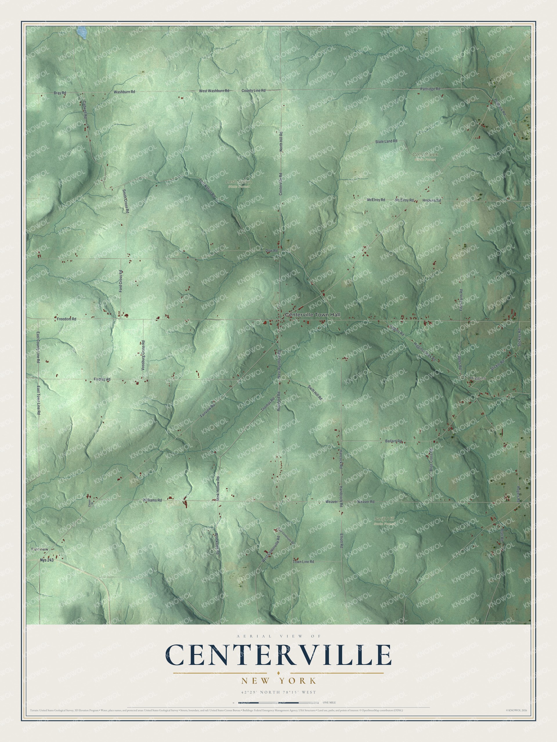
This beautifully detailed map of Centerville, New York was created in 2026 using aerial imagery combined with modern topographical, census, street and landmark data. It’s a one-of-a-kind view of Centerville that combines accurate data with a vintage aesthetic. The map shows every building in its true location, many of the roads carry their names, and the shaded topographic relief shows the shape of the land.
Explore an aerial view of Centerville, New York
On the map you’ll find Centerville Town Hall, Higgins, Fairview, Cold Creek State Forest, Lost Nation State Forest, and Swift Hill State Forest, along with Hancock Road, Swift Hill Road, Rushford Road, Fairview Road, and more. If you look closely you can even find your house accurately drawn in its correct location. Zoom in on the preview to look for yours.
Did You Know?
Joseph Maxson settled Centerville in April 1808, when he was just 18. He arrived from Otsego County with two cents, some food and clothes. On the way he traded his new shoes for an axe. He built a rough hut by a stream, slept on basswood bark, and lived eight months alone.
Take a closer look at the Centerville map
Names on this map
These names are printed on this map.
Places: Centerville Town Hall, Higgins, Cold Creek State Forest, Lost Nation State Forest, Swift Hill State Forest and Fairview.
Streets and roads: Hancock Road, Swift Hill Road, West Rushford Road, Fairview Road, Elliott Road, Williams Road, Weaver Road, Rushford Road, Thomas Road, Weaver, East County Line Road, Bray Road.
More street names, A to Z
Ballard Road, Bates Road, Bliss Cross Road, Brookside Road, Cadwell Road, Centerville Road, Clover Street, County Line Road, Dow Road, East Centerville Road, East Town Line Road, Findlay Road, Fitch Farm Road, Ford Cross Road, Freedom Road, Handcock Road, Higgins Creek Road, Higgins Road, Hopkins Road, Lost Nation Road, McElroy Road, Mc Elroy Road, Mink Hollow Road, North Hill Road, Nys 243, Pattridge Road, Pochuck Road, Pratt Road, Rogers Road, Smith Cross Road, State Land Road, Stickle Road, Stickles Road, Town Line Road, Vossburg Cross Road, Washburn Road, West Centerville Road, West Washburn Road.
See it on a wall
The Centerville map as a framed print. Swipe for more.


This beautifully detailed map of Centerville makes an attractive addition to your office, library, or den, and it can even be used to teach children the geography and history of the area. It also makes a great gift for anyone with Centerville roots. When you’re done exploring, click here to get your copy of the Centerville map.