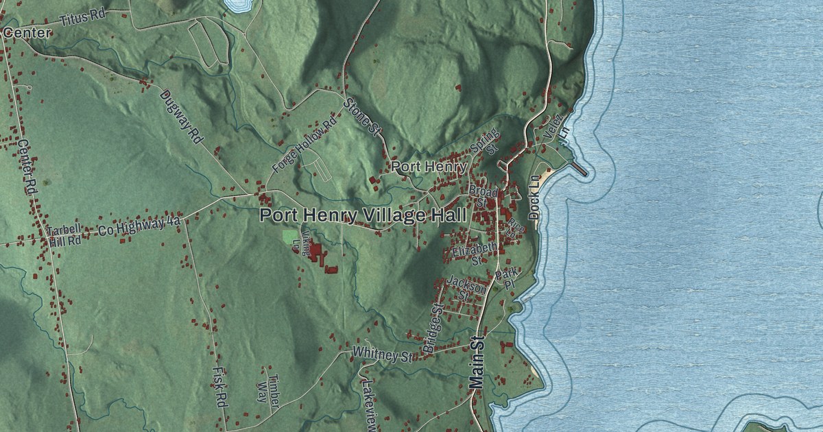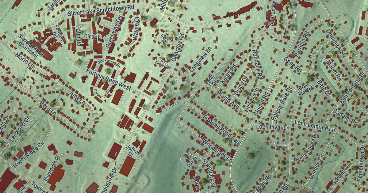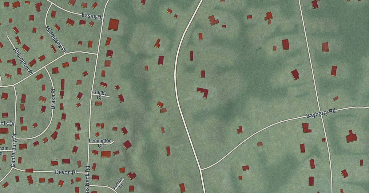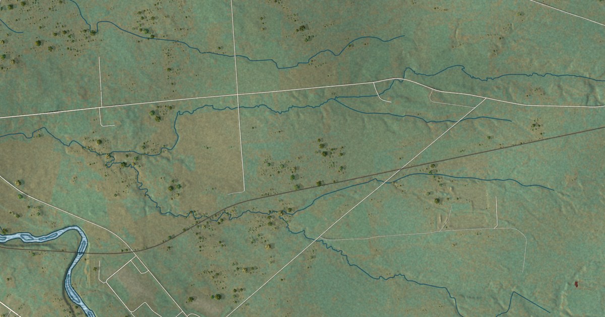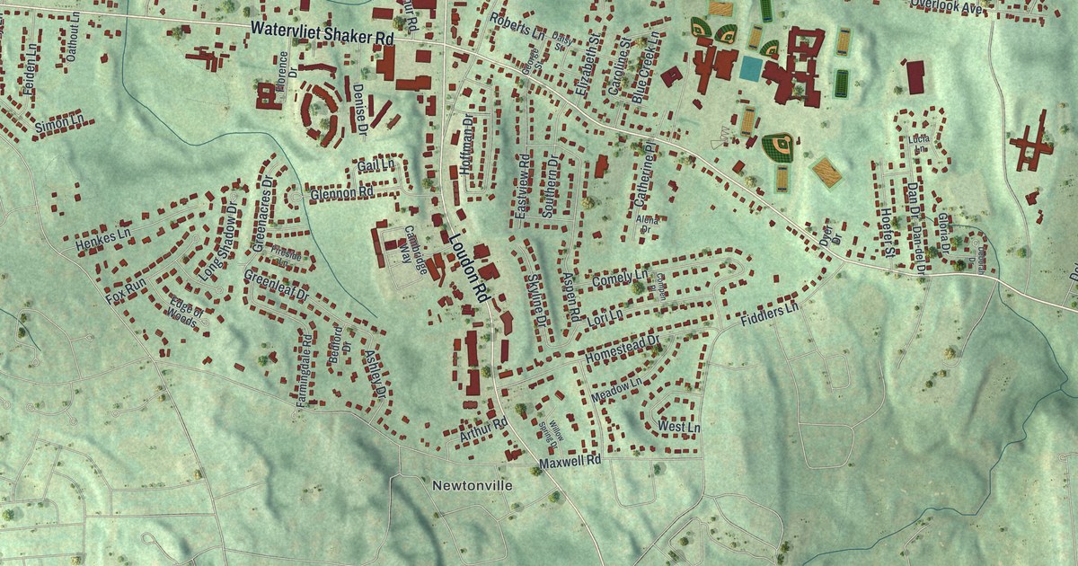
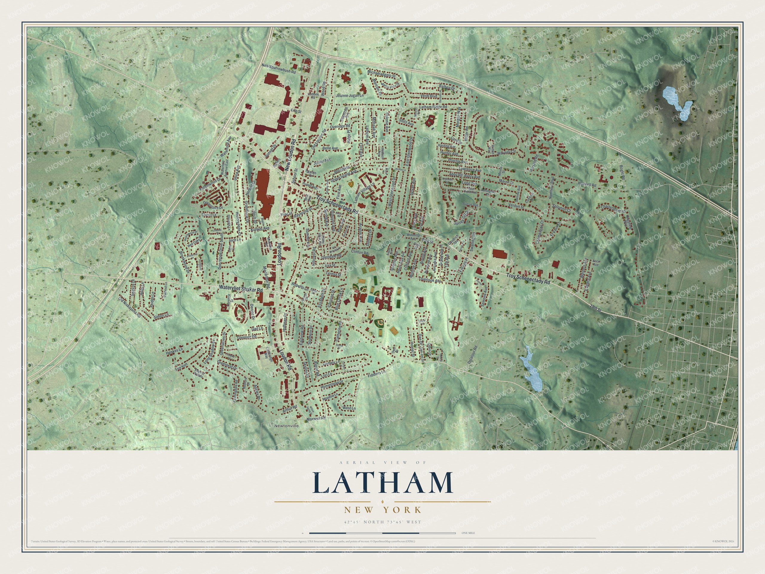
This beautifully detailed map of Latham, New York was created in 2026 using aerial imagery combined with modern topographical, census, street and landmark data. It’s a one-of-a-kind view of Latham that combines accurate data with a vintage aesthetic. The map shows every building in its true location, many of the roads carry their names, and the shaded topographic relief shows the shape of the land.
Explore an aerial view of Latham, New York
On the map you’ll find Newtonville, along with Troy Schenectady Road, New Loudon Road, Watervliet Shaker Road, Loudon Road, Old Loudon Road, and more. If you look closely you can even find your house accurately drawn in its correct location. Zoom in on the preview to look for yours.
Did You Know?
Jonas Yearsley settled here in 1785. He later built the first hotel near the crossroads, and the hamlet became Yearsley’s Corners. In the 1850s people called it Van Vranken’s Corners. The name became Latham after William G. Latham took over the hotel. His son James kept it running until his death in 1933.
Take a closer look at the Latham map
Names on this map
These names are printed on this map.
Places: Newtonville.
Streets and roads: Troy Schenectady Road, New Loudon Road, Watervliet Shaker Road, Loudon Road, Old Loudon Road, Maxwell Road, Haswell Road, Boght Road, Waverly Circle, Old Niskayuna Road, Latham Ridge Road, West Glenwood Drive.
More street names, A to Z
19th Street, Abby Road, Alena Drive, Alice Avenue, Aragon Avenue, Arcadia Avenue, Arnold Avenue, Arthur Road, Ashington Court, Ashley Drive, Aspen Road, Austin Avenue, Autran Avenue, Avery Avenue, Balboa Drive, Bedford Drive, Beechwood Drive, Belle Avenue, Best Avenue, Birch Drive, Blue Creek Lane, Brandon Court, Britton Way, Broadway, Brookwood Drive, Cambrai Drive, Cambridge Way, Caroline Street, Catherine Place, Champagne Court, Charterpoint Road, Clifford Avenue, Clinton Road, Cobbee Road, Colonie Avenue, Comely Lane, Compen Place, Cord Drive, Daisy Street, Dale Street, Dan-del Drive, Dan Drive, Da Vinci Place, Day Street, Deborah Drive, Delatour Road, Denise Drive, Doorstone Drive, Doorstone Drive South, Dublin Court, Duncan Drive, Dyer Drive, Eagan Avenue, Eastern Avenue, East Ford Avenue, East Glenwood Drive, Eastview Road, Edge of Woods, Elaine Court, Elizabeth Street, Erin Street, Eva Street, Farmingdale Road, Feiden Lane, Fiddlers Lane, Fireside Lane, First Avenue, Florence Drive, Ford Avenue, Fox Run, Ft Vaux Lane, Gaffers Court, Gail Lane, George Street, Glendale Road, Glennon Road, Gloria Drive, Goodrich Avenue, Grandview Drive, Grapevine Place, Greenacres Drive, Green Island Avenue, Greenleaf Drive, Grove Avenue, Harding Avenue, Harvard Road, Henkes Lane, Herbert Drive, Hickory Lane, Hillcrest Road, History Hills Court, Hoefer Street, Hoffman Drive, Holly Lane, Homestead Drive, Hudson Avenue, Hudson Place, Hunter Avenue, Inch Lane, Ironwood Drive, Jeanne Jugan Lane, Knollwood Drive, Kunker Avenue, Latham Avenue, Latham Village Lane, Lawrence Avenue, Limerick Court, Long Avenue, Long Shadow Drive, Lori Lane, Lucia Lane, Macarthur Road, Maple Drive, Marconi Drive, Marco Polo Drive, Marlyn Drive, Marne Street, McArthur Road, Meadow Lane, Mercer Avenue, Meuse Street, Michaelangelo Street, Miller Road, Mohawk Avenue, Monroe Avenue, Moreland Avenue, Morgan Way, Mount Riga Avenue, New Sparrowbush Road, Northern Boulevard, Oathout Lane, Old Mohawk Place, Overidge Road, Overlook Avenue, Park Avenue, Pierson Avenue, Pine Street, Proctor Avenue, Purtell Avenue, Raymond Street, Red Oaks Drive, Ridgecrest Avenue, Ridgefield Way, Ridge Place, Roberts Lane, Saxton Road, School Street, Schuyler Avenue, Scully Avenue, Semons Avenue, Sheldon Avenue, Shereen Lane, Simon Lane, Skyline Drive, Solomon Court, Somme Avenue, Southern Drive, Spring Avenue, Stutz Avenue, Summit Avenue, Sunrise Drive, Sunset Drive, Surrey Hill Drive, Swatling Road, Swayze Drive, Sylvan Avenue, Taft Avenue, Teresa Street, Utica Avenue, Vallenwood Drive, Valley View Avenue, Verdi Boulevard, Verdun Street, Vista Avenue, Walsh Place, Waterford Avenue, Waterford Avenue East, Weed Road, Western Avenue, West Lane, Willow Spring Drive, Winthrop Avenue, Youngs Place.
See it on a wall
The Latham map as a framed print. Swipe for more.


This beautifully detailed map of Latham makes an attractive addition to your office, library, or den, and it can even be used to teach children the geography and history of the area. It also makes a great gift for anyone with Latham roots. When you’re done exploring, click here to get your copy of the Latham map.