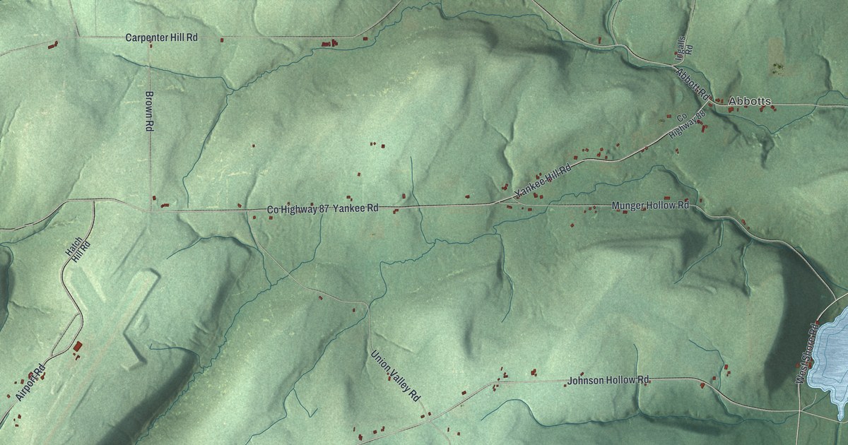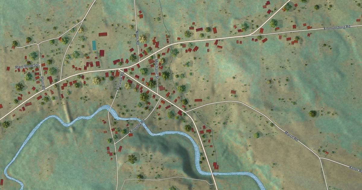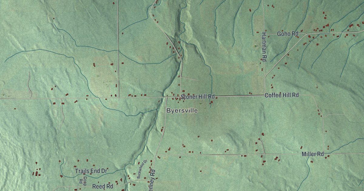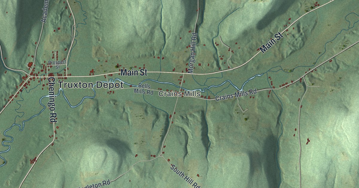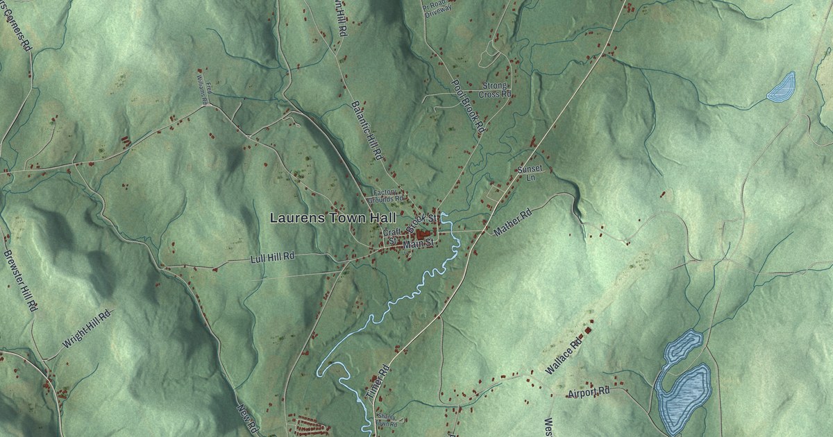
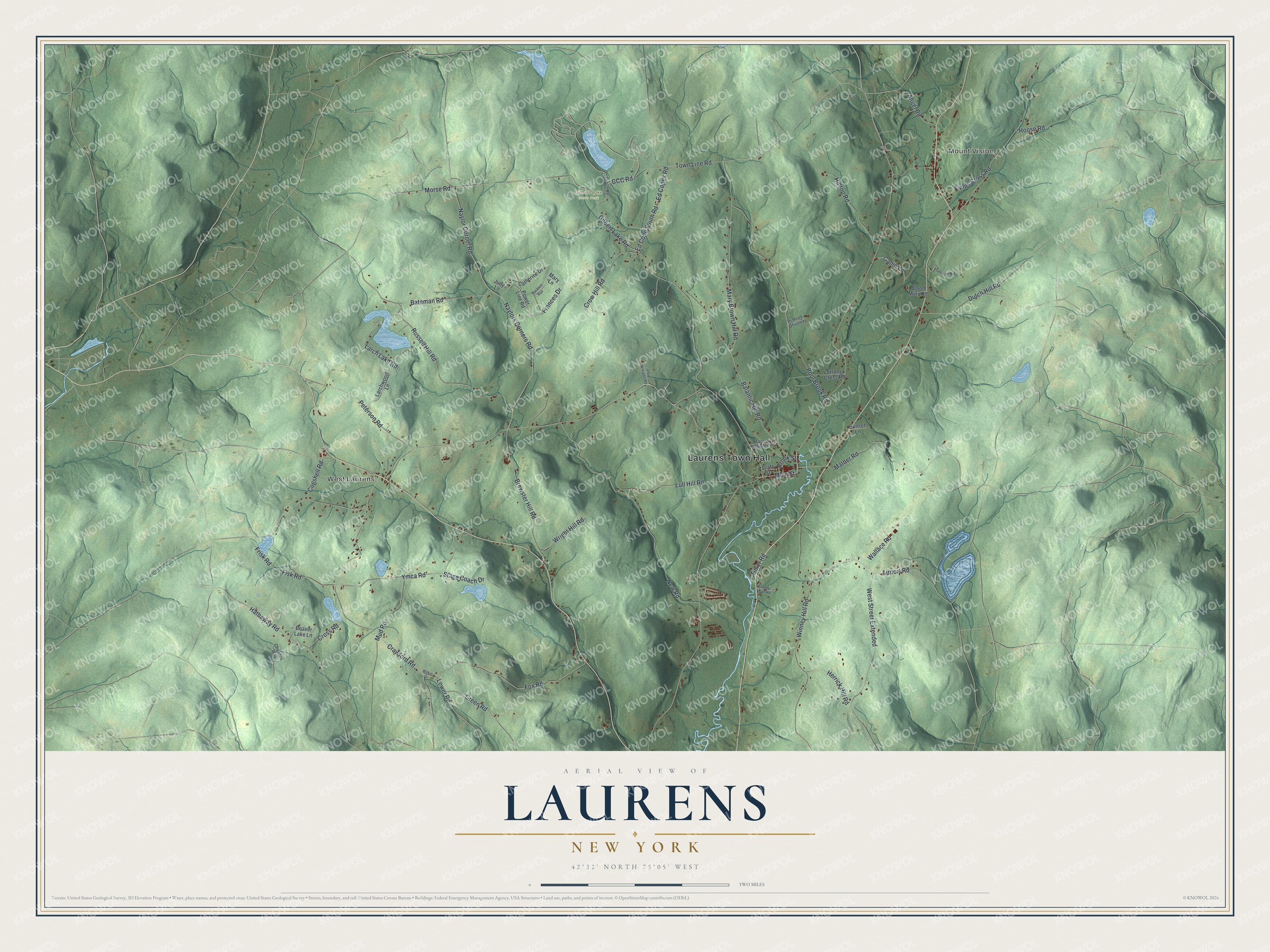
This beautifully detailed map of Laurens, New York was created in 2026 using aerial imagery combined with modern topographical, census, street and landmark data. It’s a one-of-a-kind view of Laurens that combines accurate data with a vintage aesthetic. The map shows every building in its true location, many of the roads carry their names, and the shaded topographic relief shows the shape of the land.
Explore an aerial view of Laurens, New York
On the map you’ll find Laurens Town Hall, Mount Vision, West Laurens, and Gilbert Lake State Park, along with Mather Road, Frances Drive, Brewster Hill Road, CCC Road, and more. If you look closely you can even find your house accurately drawn in its correct location. Zoom in on the preview to look for yours.
Did You Know?
Joseph Mayall arrived in 1773 as one of the first European settlers. During the Revolution, the raiders behind the Cherry Valley Massacre also looted part of Laurens and burned property. The town was formed in 1810 and named for war hero Henry Laurens. Later, cotton mills ran on water from Gilbert Lake.
Take a closer look at the Laurens map
Names on this map
These names are printed on this map.
Places: Laurens Town Hall, Mount Vision, West Laurens and Gilbert Lake State Park.
Streets and roads: Mather Road, Frances Drive, Brewster Hill Road, CCC Road, Ed Copes Road, Naylor Corner Road, Naylors Corners Road, Lower Road, Hathaway Road, Ganio Lane, Crawford Road, New Road.
More street names, A to Z
Airport Road, Angel Road, Balantic Hill Road, Bateman Road, Beaver Lake Lane, Blood Mills Road, Brook Street, Buckhill Run, Catherine Drive, Chandas Way, Cogshell Road, Craft Street, Cross Road, Crow Hill Road, Dutch Hill Road, Ed Cope South Road, Factory Grounds Road, Fields Cross Road, Fisk Road, Fox Road, Fred Williams Road, Frisk Road, Gilbert Lake Road, Green Road, Gross Road, Herrick Hill Road, Hilltop Road, Hoose Road, Judy Lane, Larch Lake Road, Larchwood Lane, Lull Hill Road, Main Street, Mary Brown Hill Road, Mary Lane, Morse Road, Mud Road, Peterson Road, Pool Brook Road, Power Line Road, Pr Road - Driveway, Russell Hill Road, Shanty Town Road, Stage Coach Drive, Strong Cross Road, Sullivan Road, Sunset Lane, Timer Road, Town Line Road, Wallace Road, West Street Extended, Wilkin Drive, Winney Hill Road, Wright Hill Road, Ymca Road.
See it on a wall
The Laurens map as a framed print. Swipe for more.


This beautifully detailed map of Laurens makes an attractive addition to your office, library, or den, and it can even be used to teach children the geography and history of the area. It also makes a great gift for anyone with Laurens roots. When you’re done exploring, click here to get your copy of the Laurens map.