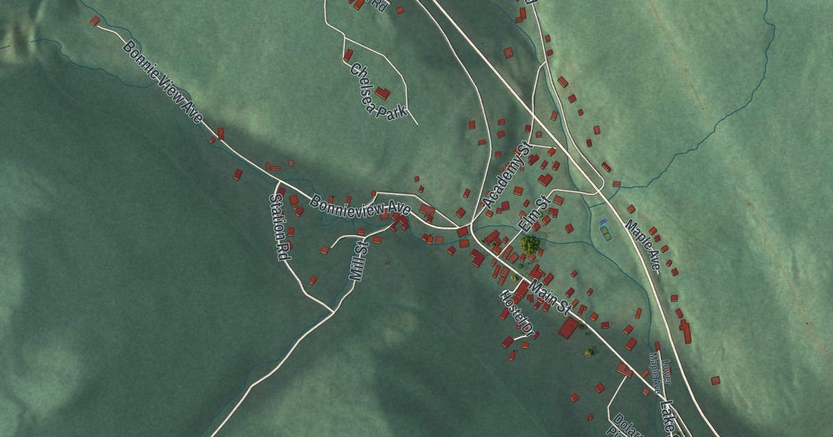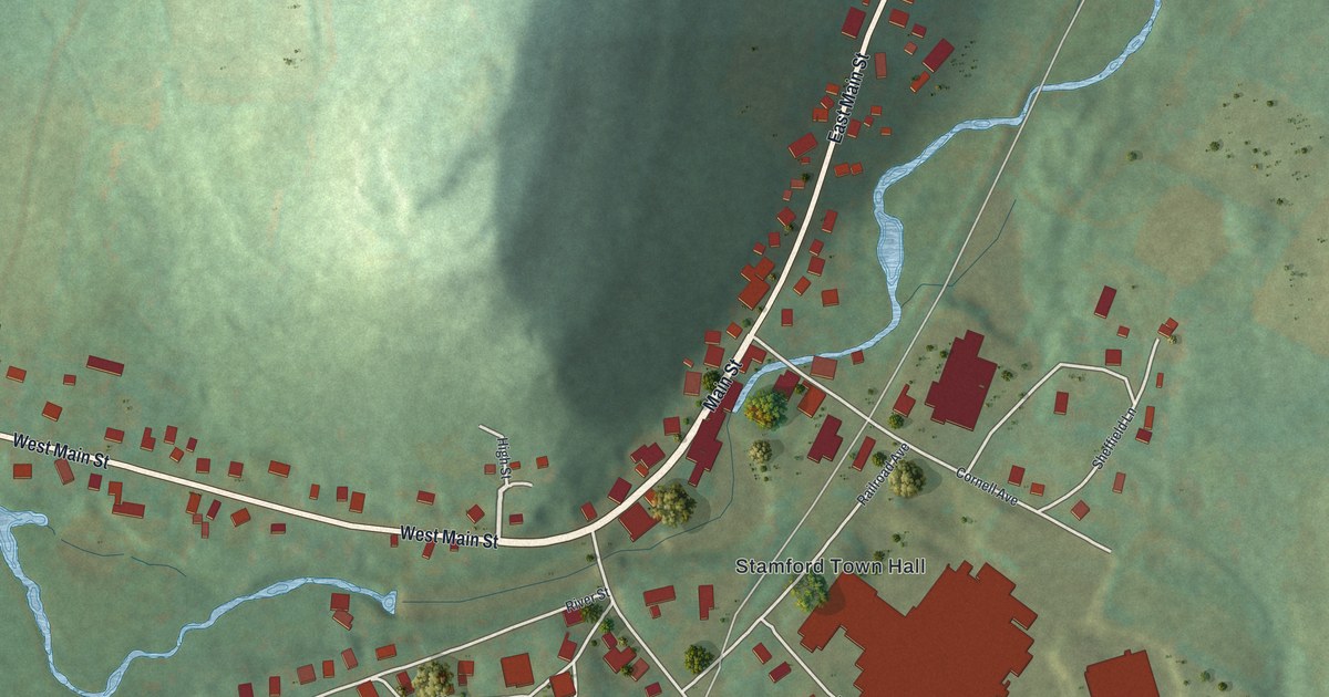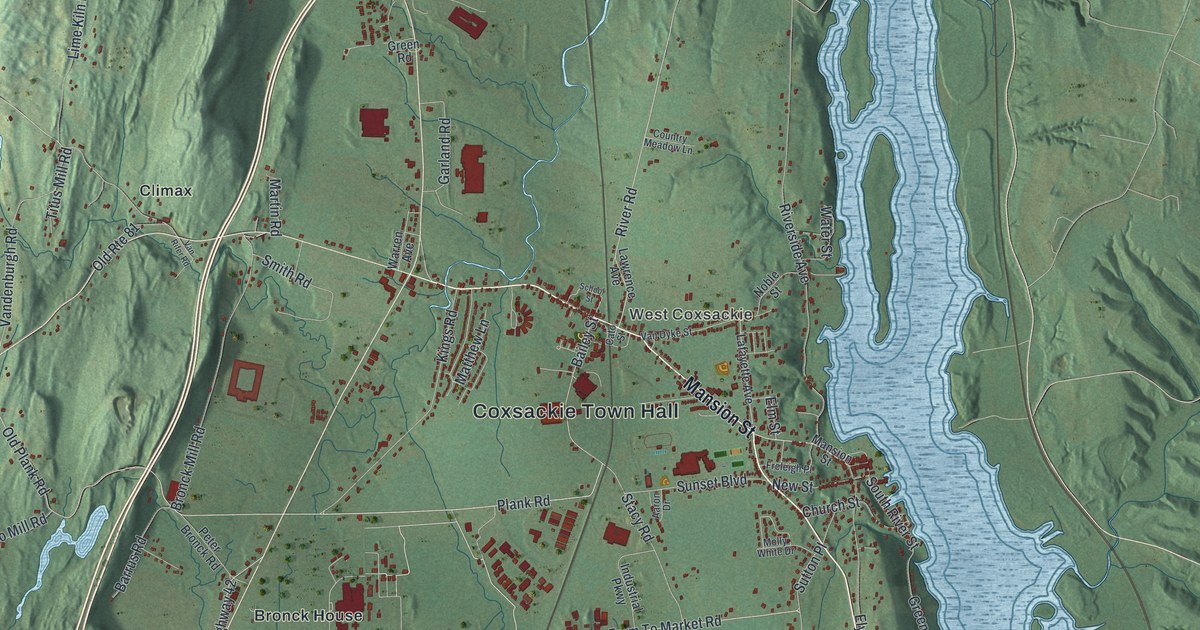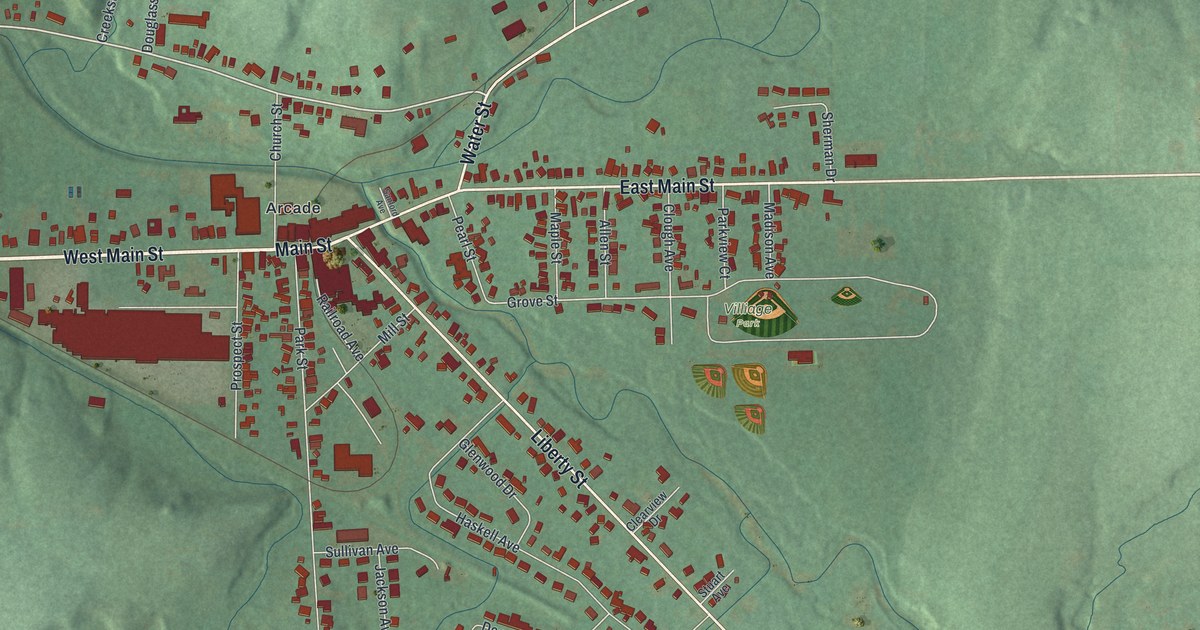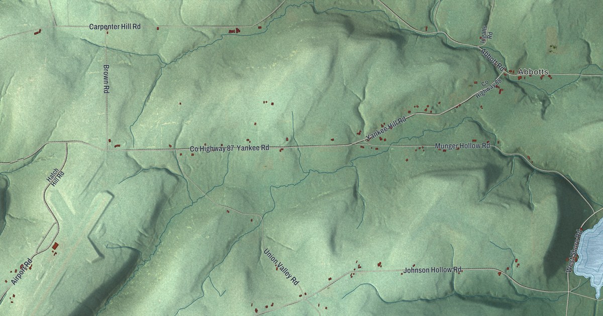
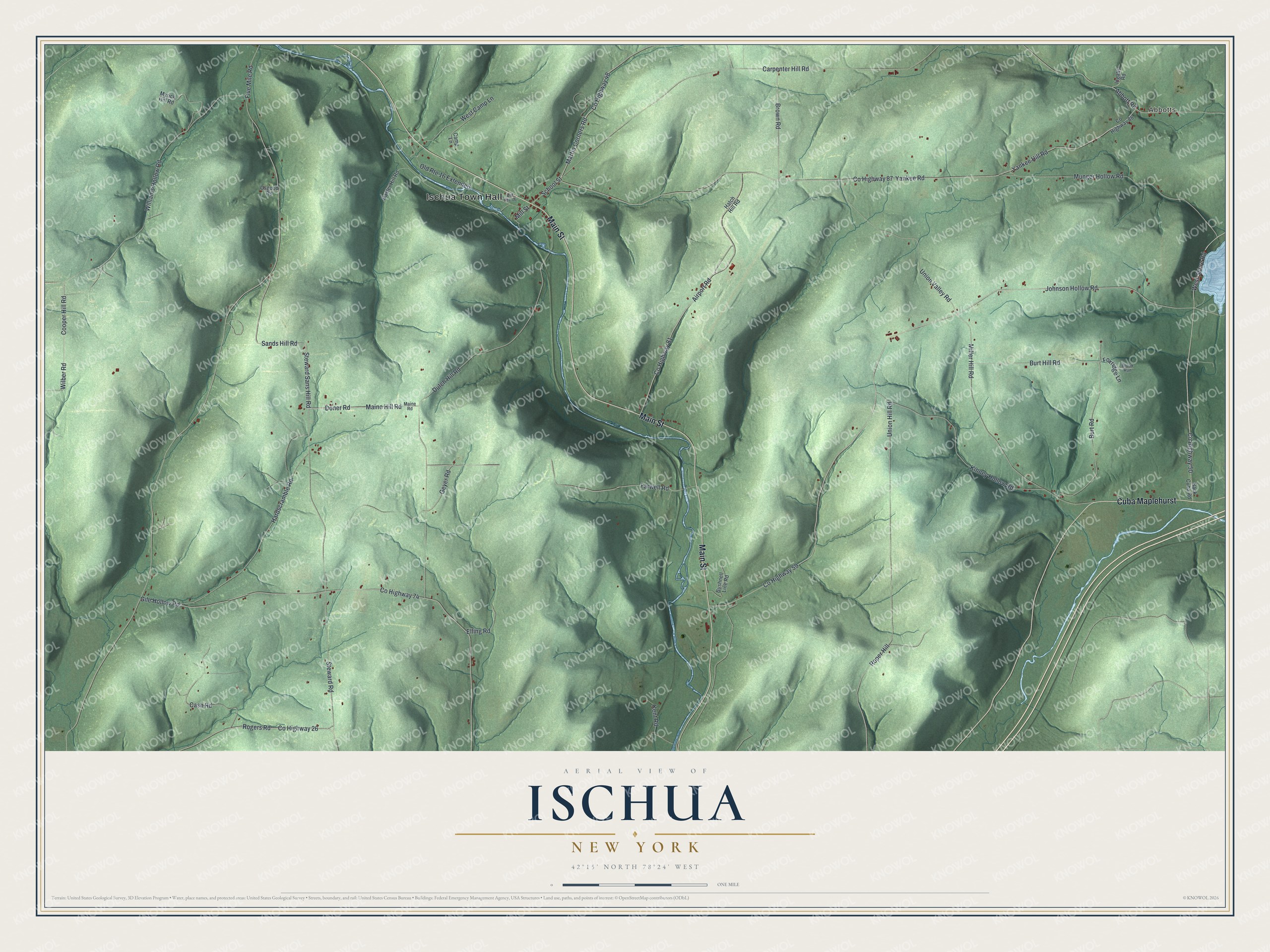
This beautifully detailed map of Ischua, New York was created in 2026 using aerial imagery combined with modern topographical, census, street and landmark data. It’s a one-of-a-kind view of Ischua that combines accurate data with a vintage aesthetic. The map shows every building in its true location, many of the roads carry their names, and the shaded topographic relief shows the shape of the land.
Explore an aerial view of Ischua, New York
On the map you’ll find Ischua Town Hall, Cuba Maplehurst, and Abbotts, along with Main Street, School Street, Steward Sans Hill Road, and more. If you look closely you can even find your house accurately drawn in its correct location. Zoom in on the preview to look for yours.
Did You Know?
In 1845, settlers here rose up against the Holland Land Company in the Dutch Hill War. Farmers took up arms to avoid being thrown off their land. As the militia approached, one settler fired a gun by accident. That was the only shot, and the farmers went home. The incident has been called the first agrarian strike in America. That’s from the 1940 WPA guide to New York.
Take a closer look at the Ischua map
Names on this map
These names are printed on this map.
Places: Ischua Town Hall and Abbotts.
Streets and roads: Main Street, Cuba Maplehurst, County Highway 50, School Street, Steward Sans Hill Road, Doner Road, Maine Hill Road, Mill Street, Johnson Hollow Road, Dutch Hill Road, Sands Hill Road, Martin Corners Road.
More street names, A to Z
Abbott Road, Airport Road, Back Cuba Road, Baxter Hill Road, Brook Run, Brown Road, Burt Hill Road, Burt Road, Bushnell Line Road, Camp Lane, Carpenter Hill Road, Cash Road, Cooper Hill Road, County Highway 26, County Highway 48, County Highway 59, County Highway 74, County Highway 81, County Highway 87, County Highway 88, Elling Road, Farwell Road, Five Mile Road, Foxridge Lane, Geyer Road, Gile Hollow Road, Hardscramble Road, Hatch Hill Road, Ingalls Road, Kent Road, Kinney Hollow Road, Maine Road, Miller Hill Road, Munger Hollow Road, Myrick Hill Road, Old Route 16, Old Route 16 Extended, Osgood Road, Rogers Road, Roper Hill, Steward Road, Union Hill Road, Union Valley Road, West Camp Lane, West Shore Road, Wilber Road, Williams Hollow Road, Yankee Hill Road, Yankee Road.
See it on a wall
The Ischua map as a framed print. Swipe for more.


This beautifully detailed map of Ischua makes an attractive addition to your office, library, or den, and it can even be used to teach children the geography and history of the area. It also makes a great gift for someone who left Ischua and still calls it home. When you’re done exploring, click here to get your copy of the Ischua map.