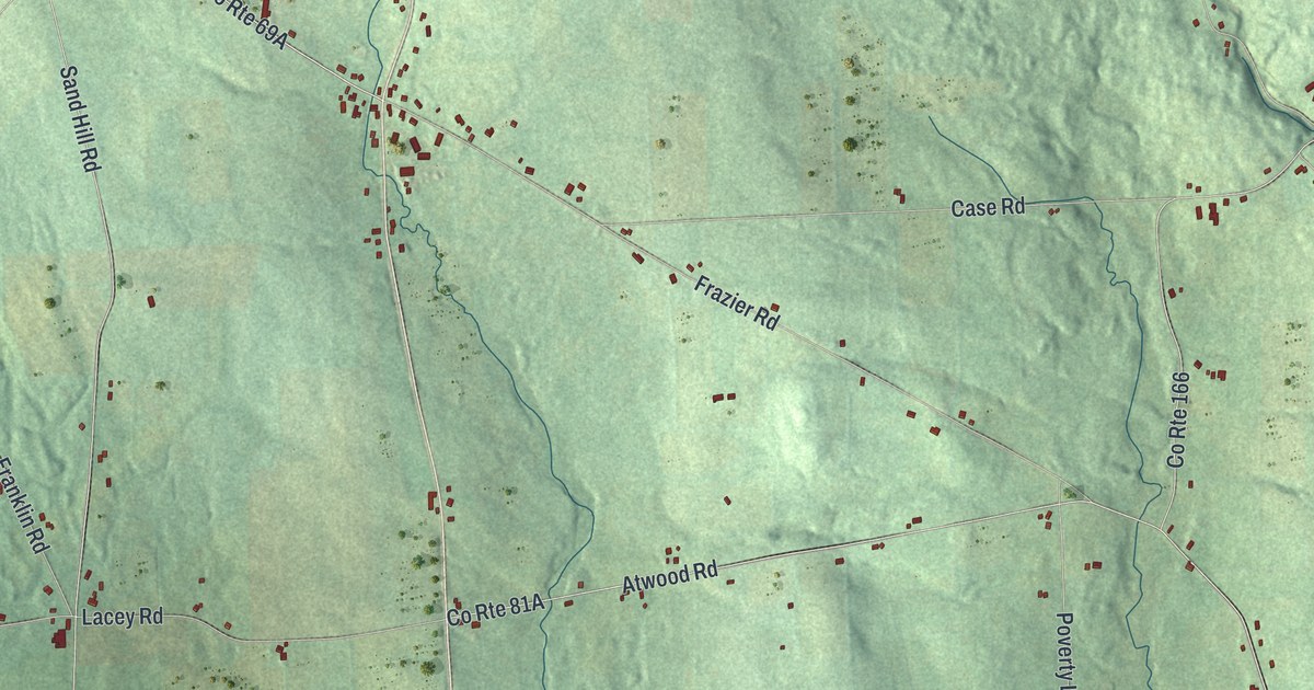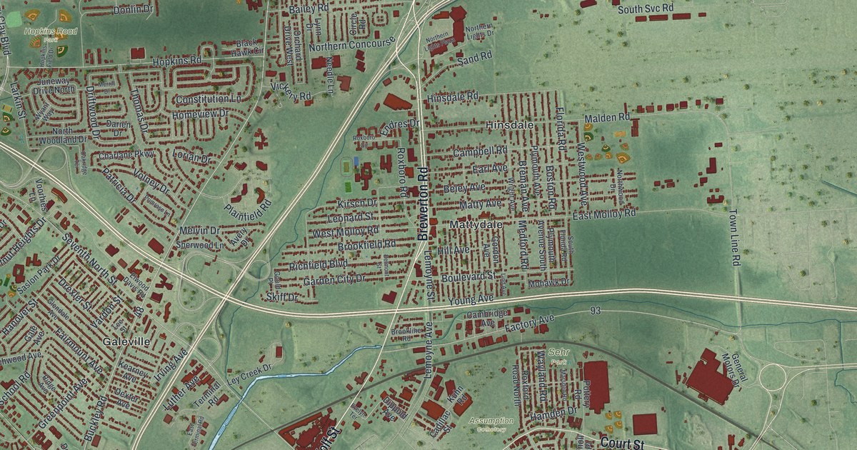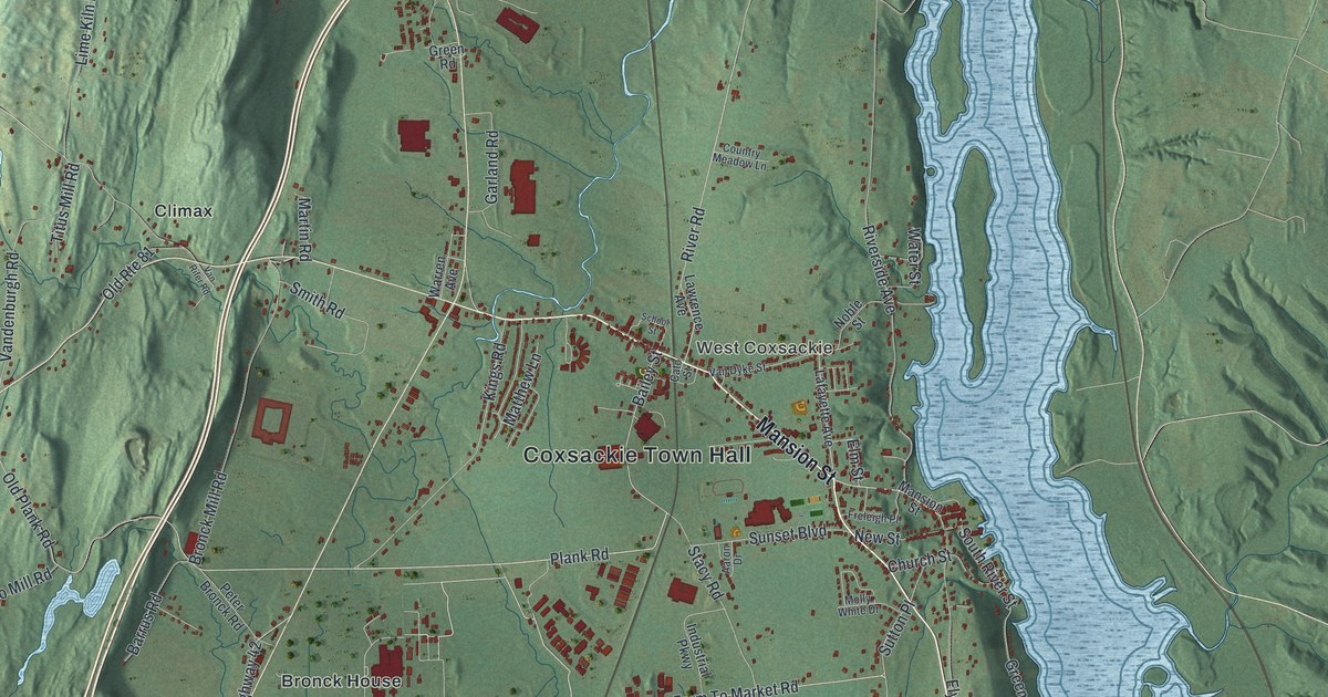
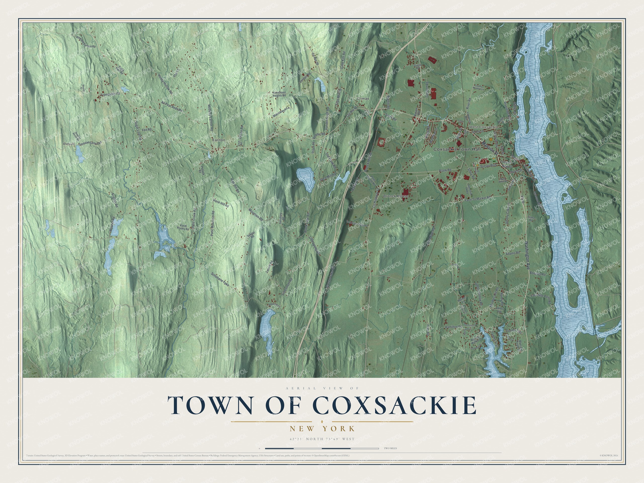
This beautifully detailed map of the Town of Coxsackie, New York was created in 2026 using aerial imagery combined with modern topographical, census, street and landmark data. It’s a one-of-a-kind view of the Town of Coxsackie that combines accurate data with a vintage aesthetic. The map shows every building in its true location, many of the roads carry their names, and the shaded topographic relief shows the shape of the land.
Explore an aerial view of the Town of Coxsackie, New York
On the map you’ll find Coxsackie Town Hall, Result, West Coxsackie, Bronck House, Climax, and Earlton, along with Washington Avenue, Mansion Street, Plank Road, Limestreet Road, and more. If you look closely you can even find your house accurately drawn in its correct location. Zoom in on the preview to look for yours.
Did You Know?
Dutch settlers founded Coxsackie late in the 1600s. The community stayed purely Dutch in character for more than a century. That changed between 1790 and 1830, when new settlers arrived from New England and Europe. That’s from the 1940 WPA guide to New York.
Take a closer look at the Town of Coxsackie map
Names on this map
These names are printed on this map.
Places: Coxsackie Town Hall, Result, West Coxsackie, Bronck House, Climax and Earlton.
Streets and roads: Washington Avenue, Mansion Street, Plank Road, Limestreet Road, Bailey Street, Four Mile Point Road, Bronk Lake Road, South River Street, Sleepy Hollow Road, Schoharie Turnpike, Farm To Market Road, Flint Mine Road.
More street names, A to Z
Aaron Drive, Adams Road, All Peat Beds Road, Barrus Road, Beecher Road, Bergraff Road, Blue and Purple Court, Bronck Mill Road, Cato Street, Church Street, Cohen Road, Cold Spring Road, Country Meadow Lane, County Highway 42, County Route 26, Dame Van Winkle Circle, Daredevil Drive, Diana Road, Eagle Nest Road, Elm Street, Ely Street, English Road, Feit Road, Finch Road, Flats Road, Fountain Flats Road, Freleigh Place, Garland Road, Gayhead Earlton Road, Greene Bedell Road, Greene Lake Road, Green Road, Hamilton Road, Haunted Circle, High Hill Road, Hinrichsen Heights Road, Honey Hollow Road, Industrial Parkway, John's Jog, Johnny Cake Lane, Jordan Road, King Hill Earlton Road, Kings Road, Kurdt Prusky Road, Lafayette Avenue, Lawrence Avenue, Levett Road, Lime Kiln Road, Market Lane, Maroarace Lane, Martin Road, Matthew Lane, Medway Earlton Road, Molly White Drive, Mountain Road, Murders Kill Road, New Street, Noble Street, Old Plank Road, Old Route 81, Peter Bronck Road, Pheasant Lane, Pollack Road, Potic Creek Road, Potic Mountain Road, Randy Road, Rip Van Winkle Drive, River Road, Riverside Avenue, Rock Hill Road, Saco Mill Road, Salisbury Road, School Street, Smith Road, Stacy Road, Stippa Road, Sugar Loaf Road, Summit Lane, Sunset Boulevard, Superstitious Drive, Surprise Result Road, Sutton Place, Swartout Road, Tammy Trail, The Lane, Titus Mill Road, Tommy Trail, Tranquility Road, Vandenburgh Road, Van Dyke Street, Van Rifer Road, Vedder Road, Veeder Road, Warren Avenue, Water Street, Webber Road.
See it on a wall
The Coxsackie map as a framed print. Swipe for more.


This beautifully detailed map of the Town of Coxsackie makes an attractive addition to your office, library, or den, and it can even be used to teach children the geography and history of the area. It also makes a great gift for someone who left the Town of Coxsackie and still calls it home. When you’re done exploring, click here to get your copy of the Town of Coxsackie map.