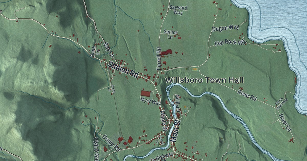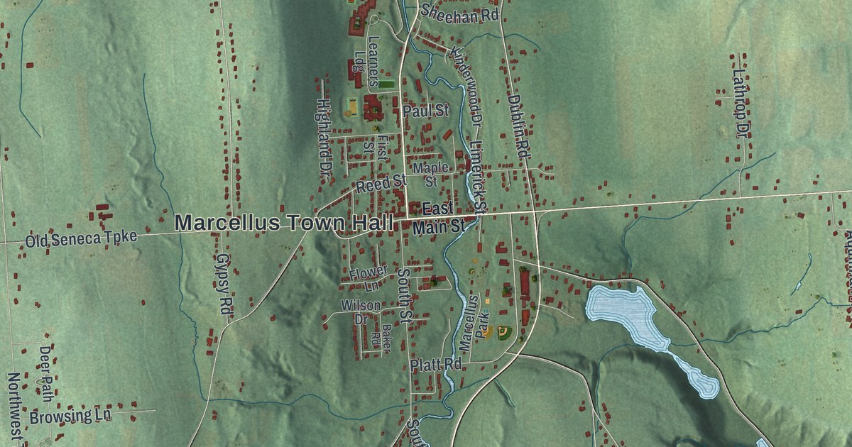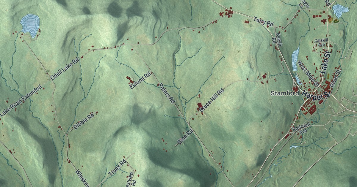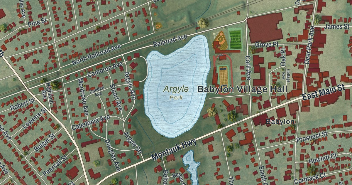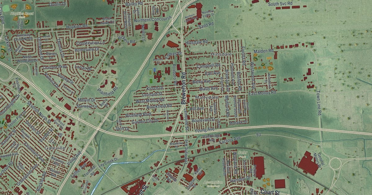
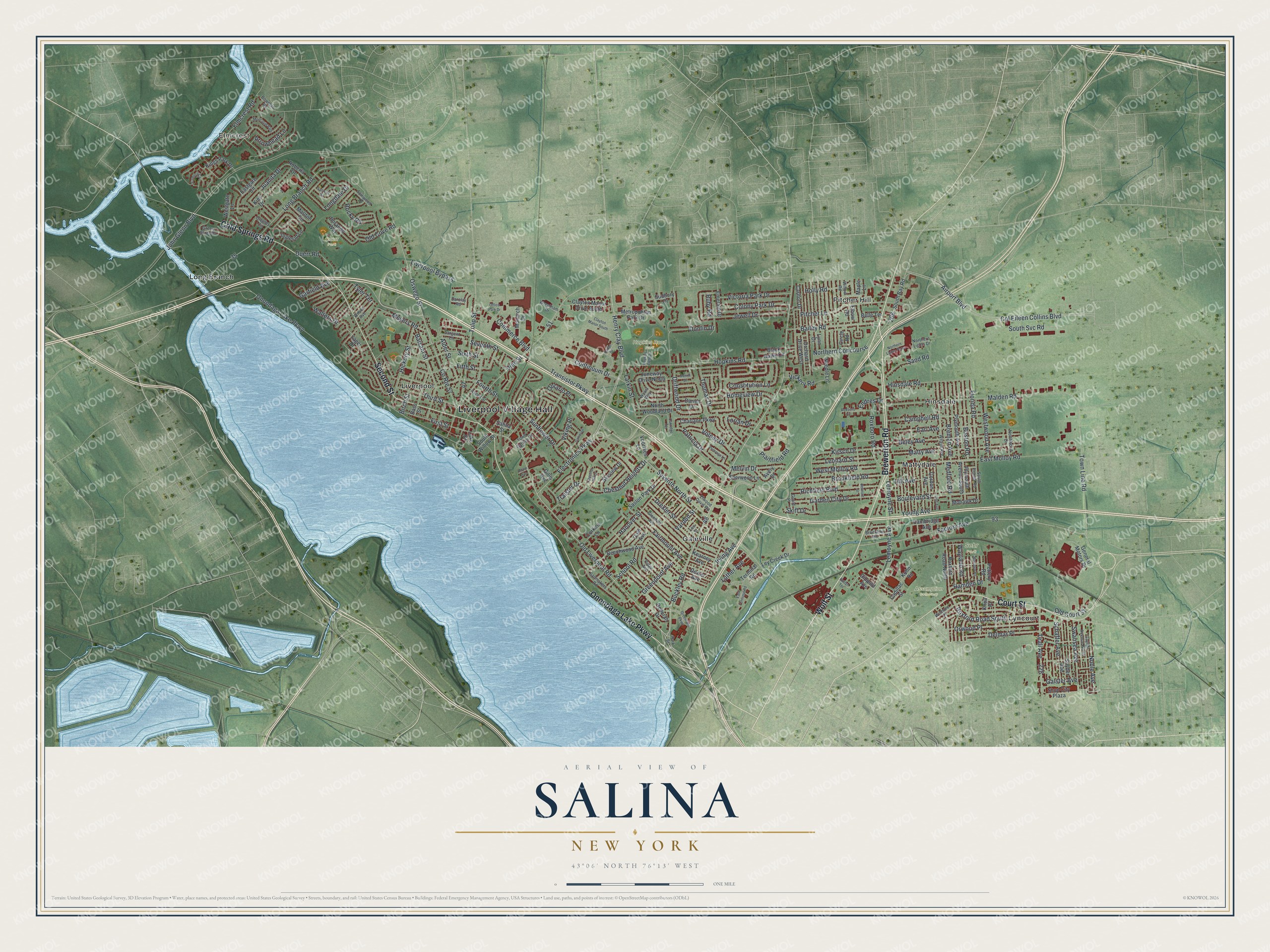
This beautifully detailed map of Salina, New York was created in 2026 using aerial imagery combined with modern topographical, census, street and landmark data. It’s a one-of-a-kind view of Salina that combines accurate data with a vintage aesthetic. The map shows every building in its true location, many of the roads carry their names, and the shaded topographic relief shows the shape of the land.
Explore an aerial view of Salina, New York
On the map you’ll find Liverpool Village Hall, Elmcrest, Galeville, Hinsdale, Liverpool, Long Branch, Assumption Cemetery, Duerr Park, Hopkins Road Park, and Sehr Park, along with Wolf Street, Brewerton Road, Second Street, Court Street, and more. If you look closely you can even find your house accurately drawn in its correct location. Zoom in on the preview to look for yours.
Did You Know?
Salina took its name from the Latin word for salt. The name came in 1797, when the state set aside part of the Salt Reservation near Onondaga Lake for that industry. In 1820 the middle section of the Erie Canal, from Salina to Utica, became the first stretch to open, with big celebrations.
Take a closer look at the Salina map
Names on this map
These names are printed on this map.
Places: Liverpool Village Hall, Elmcrest, Assumption Cemetery, Duerr Park, Hopkins Road Park, Sehr Park, Galeville, Hinsdale, Liverpool, Long Branch, Lyncourt, Mattydale and Pitcher Hill.
Streets and roads: Wolf Street, Brewerton Road, Second Street, Court Street, Cold Springs Road, Onondaga Lake Parkway, Electronics Parkway, Henry Clay Boulevard, Old Liverpool Road, Oswego Street, Buckley Road, Continuum Drive.
More street names, A to Z
Airport Boulevard, Alder Street, Arrowhead Lane, Aspen Street, Avery Drive, Bailey Road, Balsam Street, Barclay Road, Bass Street, Beechwood Avenue, Beley Avenue, Belle Terrace, Belmont Street, Birch Street, Black Hawk Circle, Boston Road, Boulevard Street, Bowman Road, Breman Avenue, Brookfield Road, Brookline Road, Cadillac Street, Cambridge Avenue, Cameco Circle, Campbell Road, Carlton Drive, Charlane Parkway, Chestnut Heights Drive, Chestnut Hill Drive, Circle Road, Clayton Manor Drive South, Clayton Manor South, Col Eileen Collins Boulevard, Colony Park Drive, Commerce Boulevard, Constitution Lane, Corkins Lane, County Route 57, Daniel Drive, Darien Drive, Deborah Drive, Delmar Place, Dexter Avenue, Dippold Avenue, Donlin Drive, Dorando Way, Drexler Street, Driftwood Drive, Duerr Road, Earl Avenue, Eastgate Circle, East Molloy Road, East Terminal Road, Elbow Road, Elmcrest Road, Elwood Davis Road, Emerald Drive, Endres Drive, Evelyn Terrace, Factory Avenue, Fairmount Avenue, Fifth Street, First Street, Florida Road, Fourth Street, Gale Avenue, Galster Avenue, Garden City Drive, Garfield Avenue, Gaynor Avenue North, General Motors Drive, Gillis Avenue, Glendale Avenue, Gordon Avenue, Gould Place, Greeley Circle, Green Acres Drive, Greenfield Parkway, Greenpoint Avenue, Hamden Drive, Hanover Street, Hickory Street, Hill Avenue, Hinsdale Road, Hiram Avenue, Holly Road, Homeview Drive, Hopkins Field Drive, Hopkins Road, Inglesid Lane, Irving Avenue, Jewell Drive, John Glenn Boulevard, Juanita Drive, Juneway Drive North, Kearney Avenue, Kies Drive, Kings Park Drive, Kirsch Drive, Knoll Place, Kuhn Road, Lake Drive, Larkin Street, Lee Street, Lemoyne Avenue, Lemoyne Street, Leonard Street, Ley Creek Drive, Lind Avenue, Liverpool Bypass, Long Branch Road, Longdale Drive, Lorian Drive, Luther Avenue, Lynn Drive, Malden Road, Maple Lane, Marlton Circle, Marsden Road, Matty Avenue, Medford Road, Melvin Drive, Merrill Drive, Metropolitan Park Drive, Meyers Road, Moccasin Path, Mohawk Drive, Monarch Drive, Needle Lane, Noble Avenue, Northern Concourse, Northern Lights Drive, Northern Lights Plaza, Northwood Drive, North Woodland Drive, Oakridge Terrace, Office Park Drive, Old Court Street, Old Cove Road, Ontario Place, Orchard Drive West, Orwood Place, Park Street, Patricia Drive, Pitcher Lane, Plainfield Road, Plymouth Avenue, Plymouth Avenue South, Pottery Road, Primrose Lane, Radar Drive, Richfield Boulevard, Ridge Avenue, Roberta Drive, Rocky Road, Roxboro Circle, Roxboro Road, Roxford Road North, Roxford Road South, Ruby Road, Salina Street, Saltmakers Road, Saltwell Road, Sand Road, Sargent Lane, Saslon Park Drive, Schaffer Avenue, School Road, Seventh North Street, Seventh Street, Sherwood Lane, Shop City Plaza, Sixth Street, Skiff Drive, Skyview Drive, Snyder Avenue, South Bay Road, South Florida Road, South Svc Road, South Willow Street, Sudbury Drive, Sunflower Drive, Swansea Avenue, Teall Avenue, Terminal Road, Third Street, Thomas Drive, Tomwood Drive, Town Garden Drive, Town Line Road, Traister Drive, Transistor Parkway, Tulip Street, Tyler Terrace, Vardon Street, Vickery Road, Victoria Park Drive, Viking Place, Vine Street, Volney Drive, Voorhies Lane, Walters Drive, Wayland Road, Westgate Lane, West Molloy Road, Westwood Avenue, Willow Road, Wilmore Place, Wilson Avenue, Wrentham Drive, Wright Avenue, Wyant Way, Yager Drive, Young Avenue.
See it on a wall
The Salina map as a framed print. Swipe for more.


This beautifully detailed map of Salina makes an attractive addition to your office, library, or den, and it can even be used to teach children the geography and history of the area. It also makes a great gift for anyone who grew up in Salina or moved away. When you’re done exploring, click here to get your copy of the Salina map.