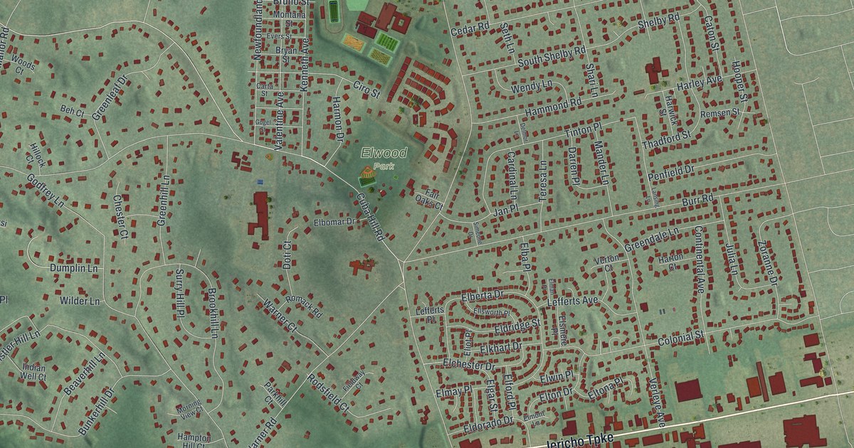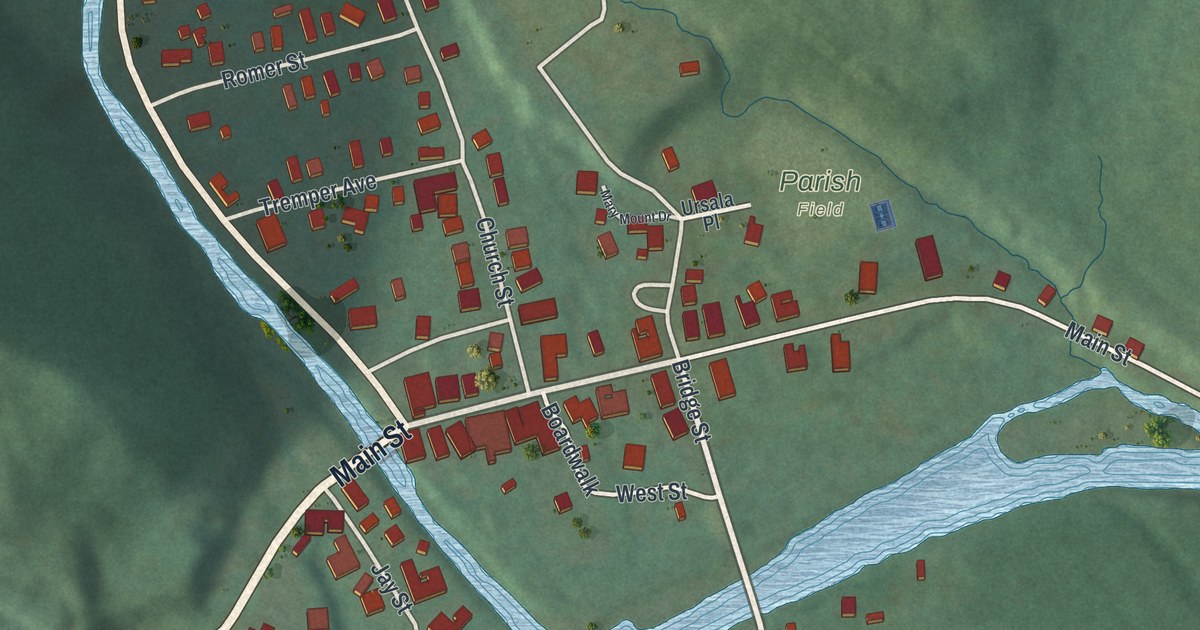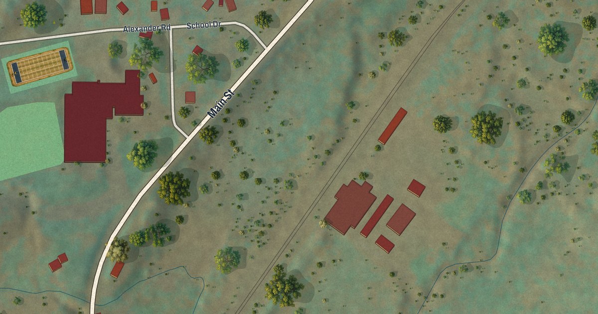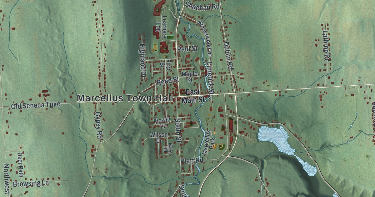
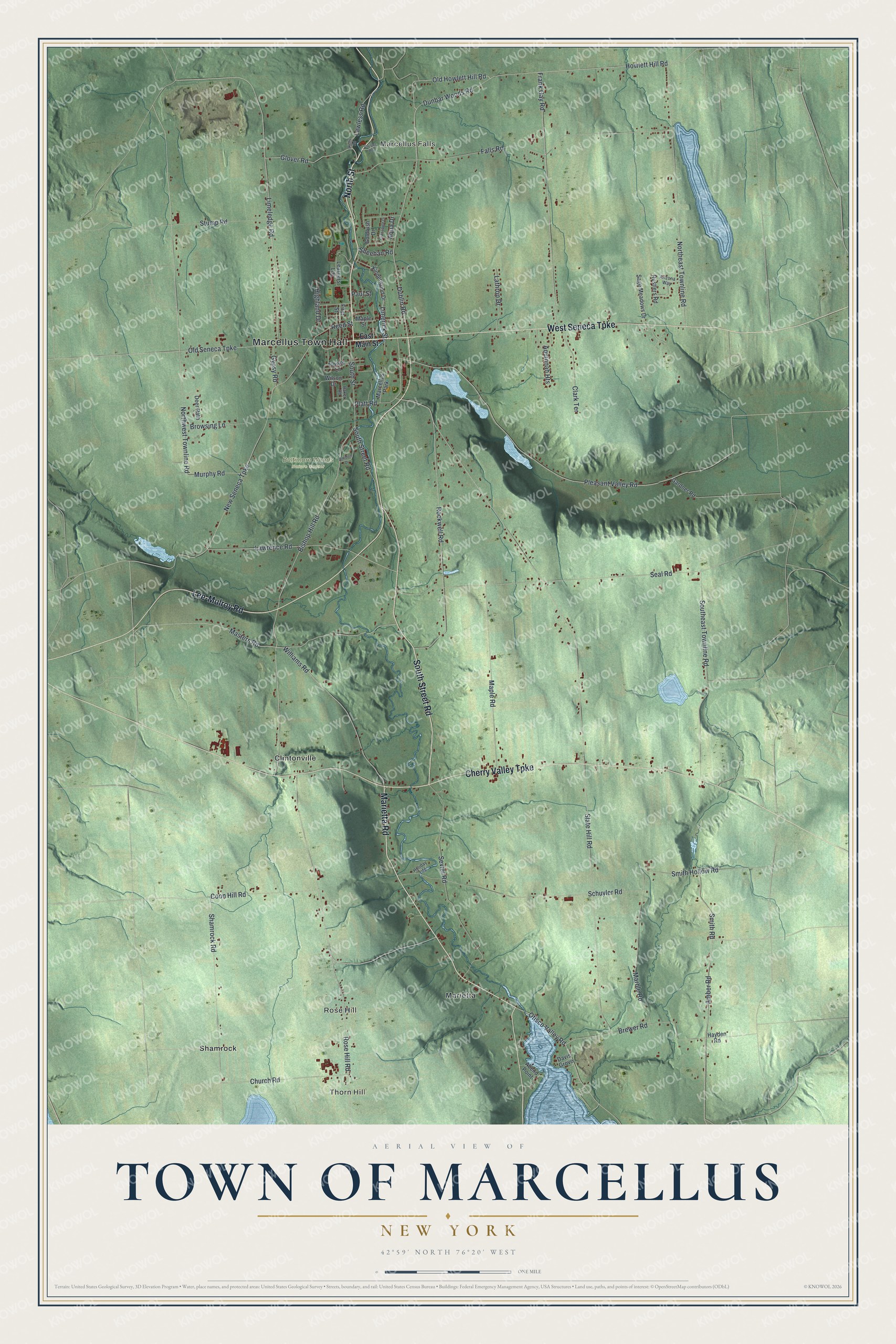
This beautifully detailed map of the Town of Marcellus, New York was created in 2026 using aerial imagery combined with modern topographical, census, street and landmark data. It’s a one-of-a-kind view of the Town of Marcellus that combines accurate data with a vintage aesthetic. The map shows every building in its true location, many of the roads carry their names, and the shaded topographic relief shows the shape of the land.
Explore an aerial view of the Town of Marcellus, New York
On the map you’ll find Marcellus Town Hall, Thorn Hill, Marcellus Falls, Rose Hill, Clintonville, and Marietta, along with North Street, Lee-Mulroy Road, Marietta Road, Street Road, and more. If you look closely you can even find your house accurately drawn in its correct location. Zoom in on the preview to look for yours.
Did You Know?
Marcellus lent its name to the Marcellus Formation. That vast layer of shale spreads under Pennsylvania, West Virginia, other states and Ontario. It was named for rock exposed in or near the town. The land itself once belonged to the Onondaga, and outsiders first settled here around 1794.
Take a closer look at the Town of Marcellus map
Names on this map
These names are printed on this map.
Places: Marcellus Town Hall, Thorn Hill, Marcellus Falls, Rose Hill, Baltimore Woods Nature Center, Clintonville, Marietta, Shamrock and Marcellus Park.
Streets and roads: North Street, Lee-Mulroy Road, Marietta Road, South Street Road, Cherry Valley Turnpike, West Seneca Turnpike, Dublin Road, Limerick Street, Howlett Hill Road, Otisco Valley Road, Coon Hill Road, Old Howlett Hill Road.
More street names, A to Z
Abend Point, Amber Road, Amidon Drive, Aqua Drive, Aquinnah Heights, Arizona Way, Baker Road, Bishop Hill Road, Brewer Road, Browsing Lane, Church Road, Clark Terrace, Cranapple Drive, Crysler Road, Davis Grove, Deer Path, Dunbar Woods Road, East Main Street, Falls Road, First Street, Flower Lane, Frank Gay Road, Gardner Road, Glover Road, Goldrush Drive, Gypsy Road, Hayden Road, Highland Drive, Holiday Ldg, Kelly Road, Kinderwood Drive, Lathrop Drive, Lawless Road, Lawrence Road, Learners Ldg, Limeledge Road, Maple Road, Maple Street, Marble Road, Masters Road, Murphy Road, New Seneca Turnpike, Northeast Townline Road, Northwest Townline Road, Old Seneca Turnpike, Paul Street, Platt Road, Pleasant Valley Road, Reed Street, Rockwell Road, Rose Hill Road, Rustlers Road, Sage Meadows Drive, Schuyler Road, Seal Road, Sevier Road, Shamrock Road, Sheehan Road, Slate Hill Road, Smith Hollow Road, Smith Road, Southeast Townline Road, South Street, Stump Road, Williams Road, Wilson Drive.
See it on a wall
The Marcellus map as a framed print. Swipe for more.


This beautifully detailed map of the Town of Marcellus makes an attractive addition to your office, library, or den, and it can even be used to teach children the geography and history of the area. It also makes a great gift for someone who left the Town of Marcellus and still calls it home. When you’re done exploring, click here to get your copy of the Town of Marcellus map.