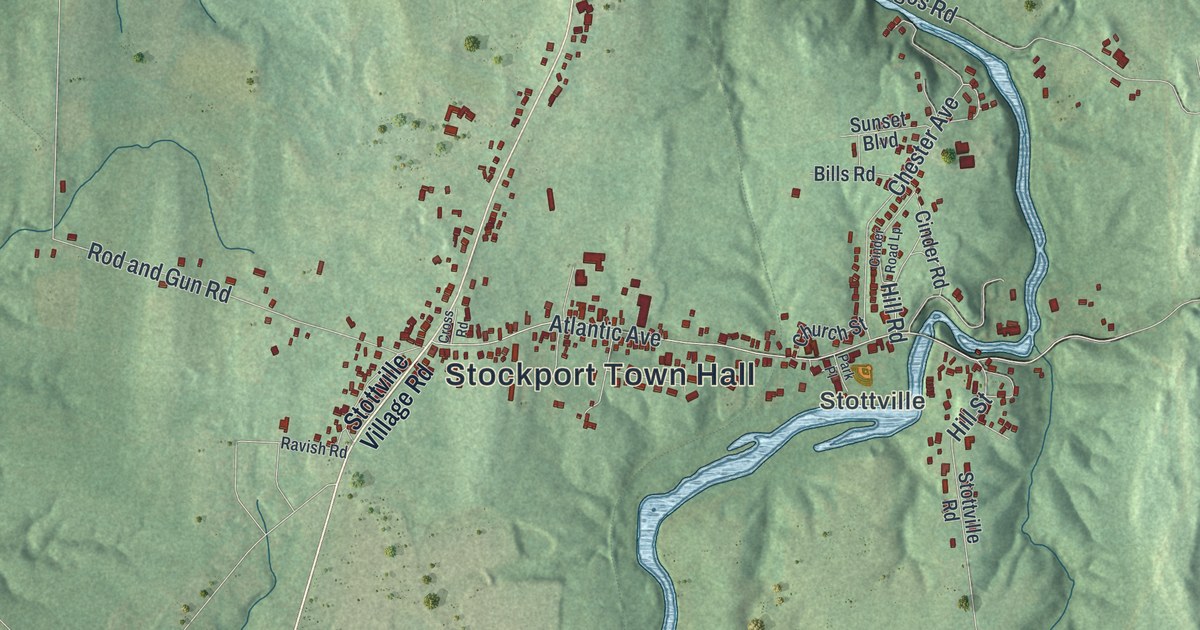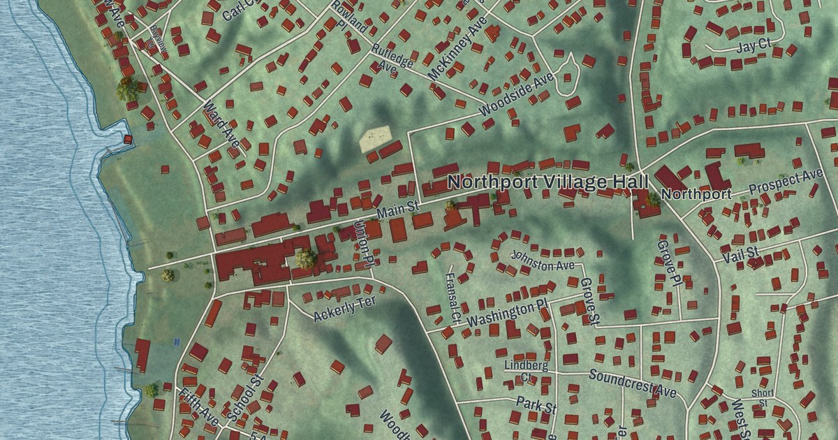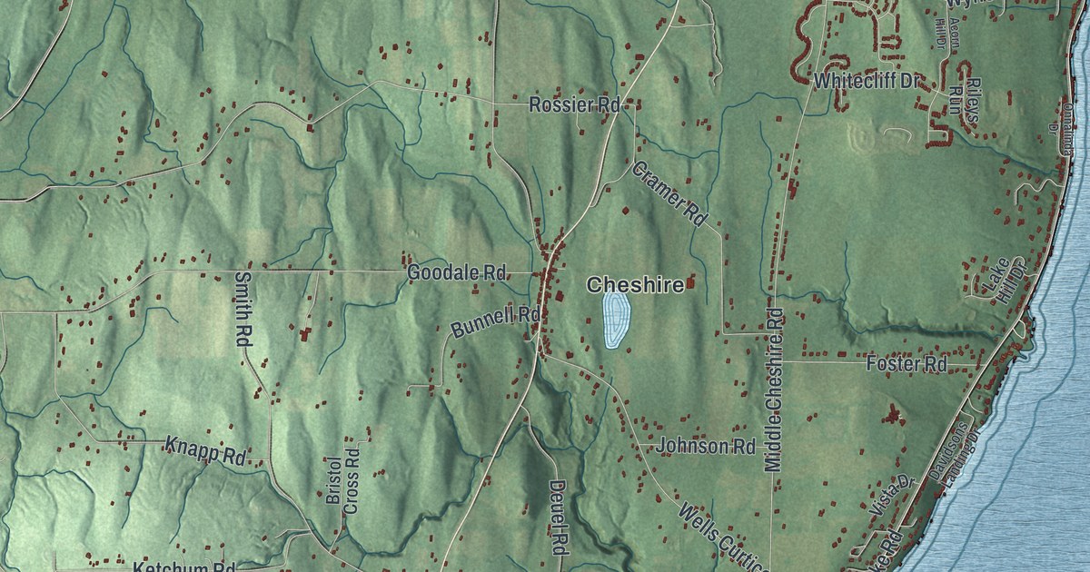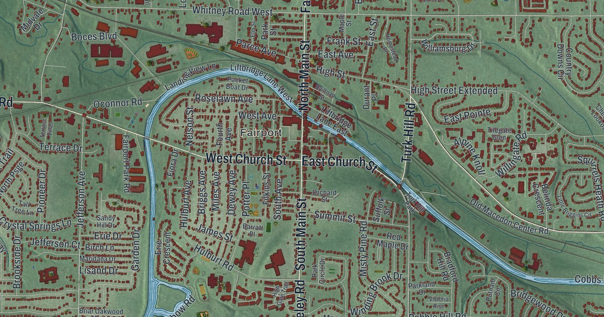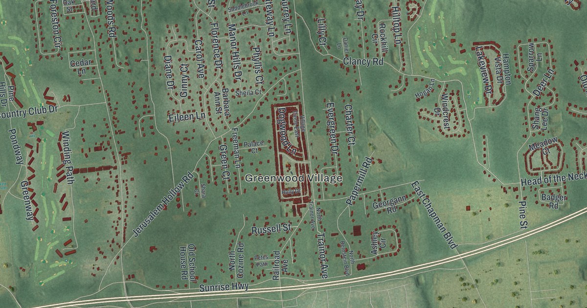
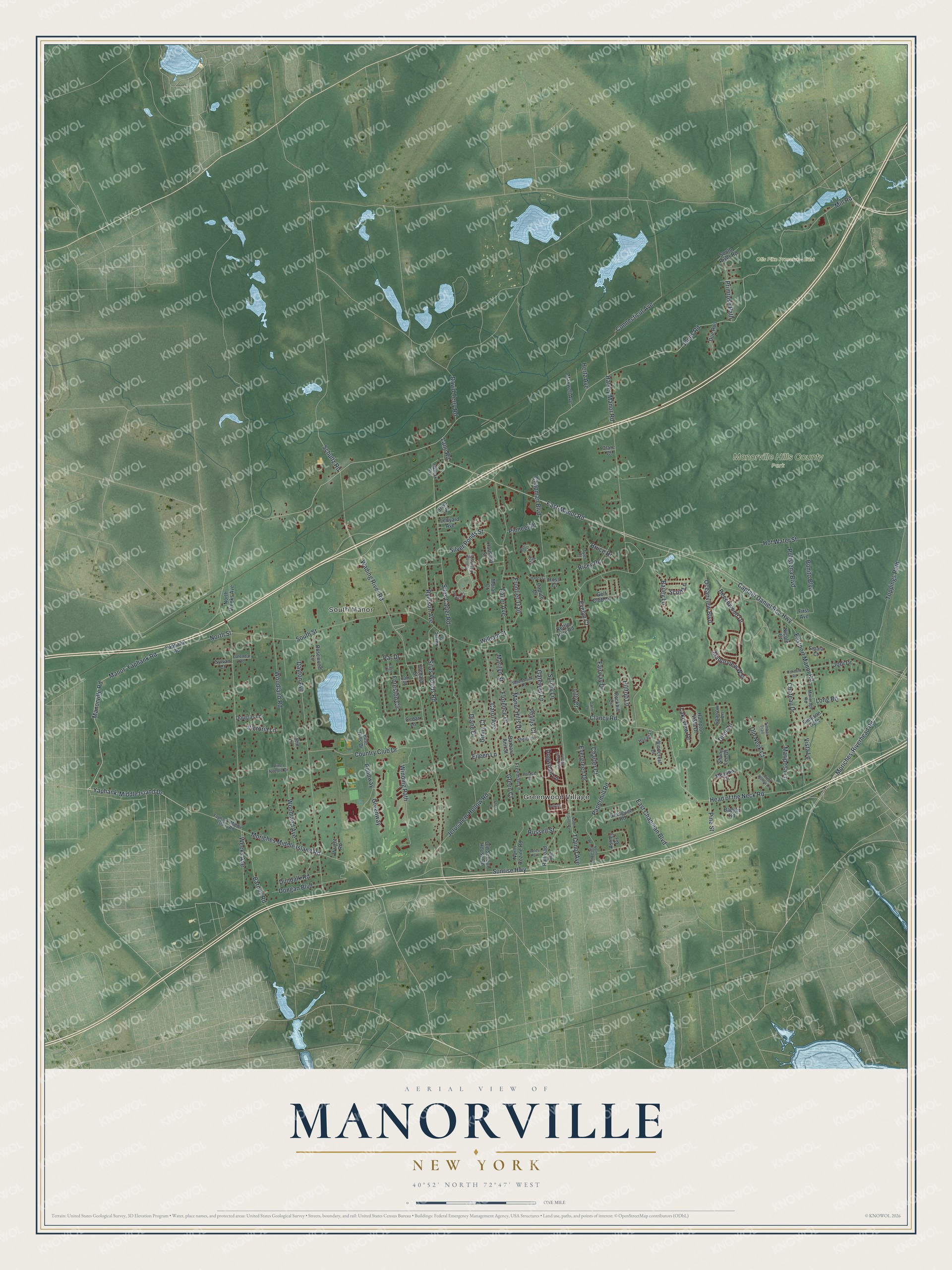
This beautifully detailed map of Manorville, New York was created in 2026 using aerial imagery combined with modern topographical, census, street and landmark data. It’s a one-of-a-kind view of Manorville that combines accurate data with a vintage aesthetic. The map shows every building in its true location, many of the roads carry their names, and the shaded topographic relief shows the shape of the land.
Explore an aerial view of Manorville, New York
On the map you’ll find Greenwood Village, Manorville Hills County Park, and Otis Pike Preserve – East, along with North Street, Yaphank-Middle Island Drive, Lane Road, Clancy Road, Moriches Middle Island Road, and more. If you look closely you can even find your house accurately drawn in its correct location. Zoom in on the preview to look for yours.
Did You Know?
In 1844 a Long Island Rail Road station opened here under the name St. George’s Manor. Station agent Seth Raynor had been a patriot in the Revolutionary War. He disliked how British it sounded, so he painted over the sign and left only Manor. The hamlet took the name Manorville when its post office opened in 1907.
Take a closer look at the Manorville map
Names on this map
These names are printed on this map.
Places: Greenwood Village, South Manor, Manorville Hills County Park and Otis Pike Preserve - East.
Streets and roads: North Street, Yaphank-Middle Island Drive, Lane Road, Clancy Road, Moriches Middle Island Road, Mill Road, East-Manor Road, Manorville Road, Captain Daniel Roe Highway, Wading River Road, South Street, Chapman Boulevard.
More street names, A to Z
Ashley Circle, Badger Road, Bailey Lane, Barbara Ann Street, Barnes Road, Bass Court, Bauer Avenue, Beechwood Drive, Bonito Boulevard, Bruce Drive, Cal Court, Calendar Road, Caputo Drive, Carol Avenue, Cedar Lane, Charter Court, Chateau Drive, Clare Court, Concord Road, Connecticut Avenue, Country Club Drive, Crest Hollow Lane, Daniel Lane, David Terry Road, Dayton Avenue, Deer Lane, Diane Drive, Doe Run, Dogwood Lane, Dongan Boulevard, Douglas Lane, Dundalk Road, Eagle Lane, East Chapman Boulevard, Eastport Manor Road, Eileen Lane, Evelyn Court, Evergreen Drive, Fairway Drive, First Avenue, Florence Drive, Foreston Circle, Freeman Lane, Frontier Trail, Gateway Lane, Georgann Road, Ginny Court, Golf Club Circle, Green Court, Greenway, Hallock Avenue, Halsey Manor Road, Hampton Vista Drive, Haney Court, Harmony Street, Head of the Neck Road, Hertz Avenue, Hilltop Lane, Hogan Lane, Holly Drive, Hot Water Street, Irvin Place, Jarvic Court, Jerusalem Hollow Road, Jodi Drive, John Lane, Jones Road, Kettle Hole Road, Lakeview Drive, Ledyard Avenue, Lilly Court, Long Road, Manor-Yaphank Road, Manorage Road, Manor Hills Drive, Manorview Way, Marilyn Street, Mariposa Lane, Maxwell Avenue, Meadow Court, Moran Court, Moriches-Riverhead Road, Nicole Court, North Bernstein Boulevard, North Cozine Road, North Trainor Avenue, North Weeks Avenue, Oak Street, Oceanview Boulevard, Old Neck Court, Old School House Road, Orchard Street, Palace Court, Papermill Road, Par Drive, Petes Path, Phyllis Court, Pine Hills Drive, Pine Needle Drive, Pine Street, Pioneer Place, Polistena Boulevard, Pondway, Prairie Court, Primrose Path, Railroad Avenue, Ricky Road, Rockhill Circle, Rolling Estate Circle, Rosewood Lane, Ross Court, Russell Street, Ryerson Avenue, Saddlebrook Lane, Schultz Road, Scott Lane, Shang Lee Drive, Shara Court, Sheila Court, Silas Carter Road, Silas Woods Road, Silver Ponds Street, Simpson Gate, Sipala Court, South River Road, Sparrow Lane, Sunrise Highway, Surrey Lane, Sylvan Court, Timber Trail, Toppings Path, Trainor Avenue, Tyler Court, Victoria Lane, Village Circle East, Vista Lane, Weeks Avenue, William Street, Windcrest Drive, Winding Path, Woodland Avenue, Woodland Road, Wright Road, Yaphank-Middle Island Road, Yaphank Road.
See it on a wall
The Manorville map as a framed print. Swipe for more.


This beautifully detailed map of Manorville makes an attractive addition to your office, library, or den, and it can even be used to teach children the geography and history of the area. It also makes a great gift for anyone who grew up in Manorville or moved away. When you’re done exploring, click here to get your copy of the Manorville map.