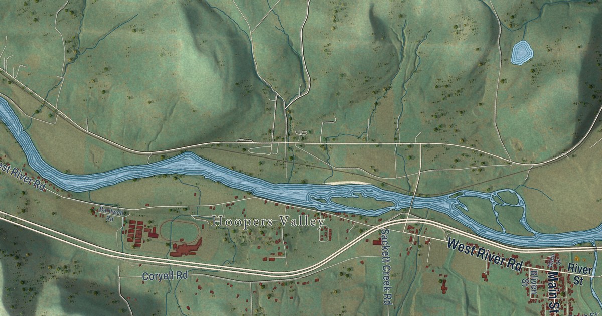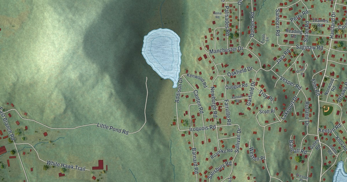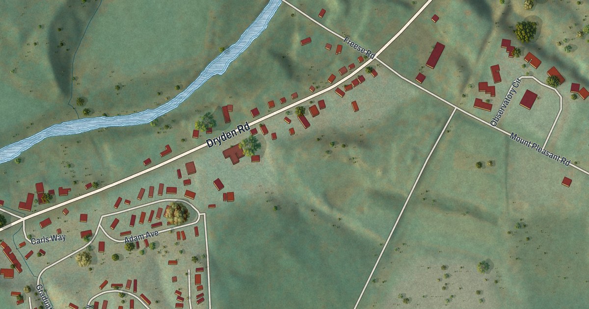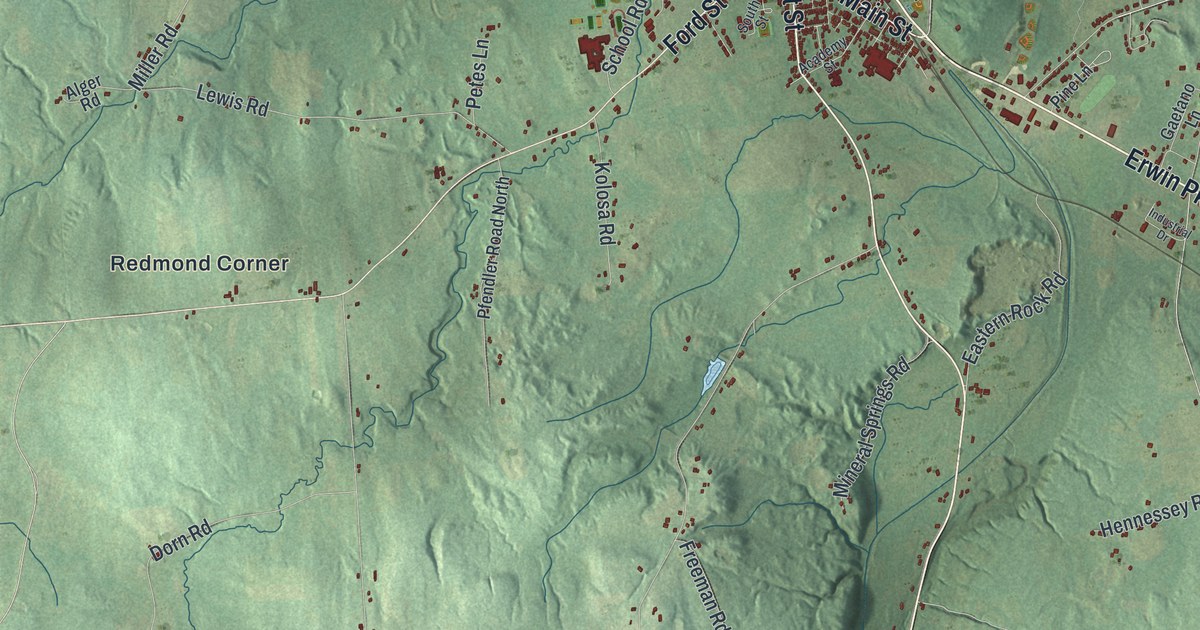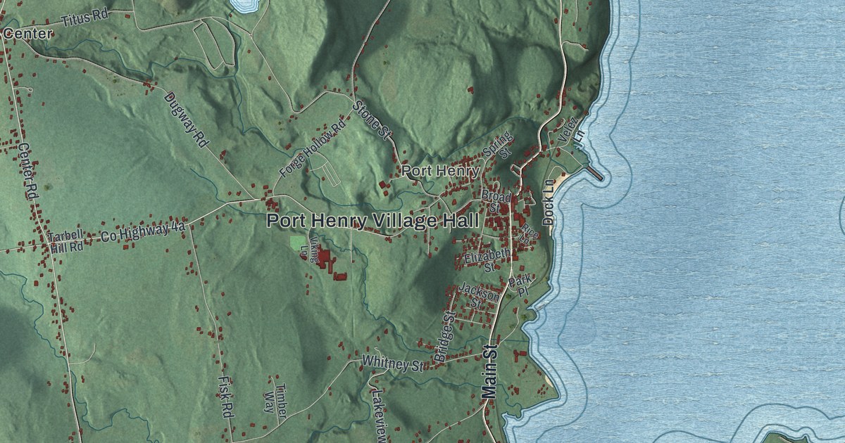
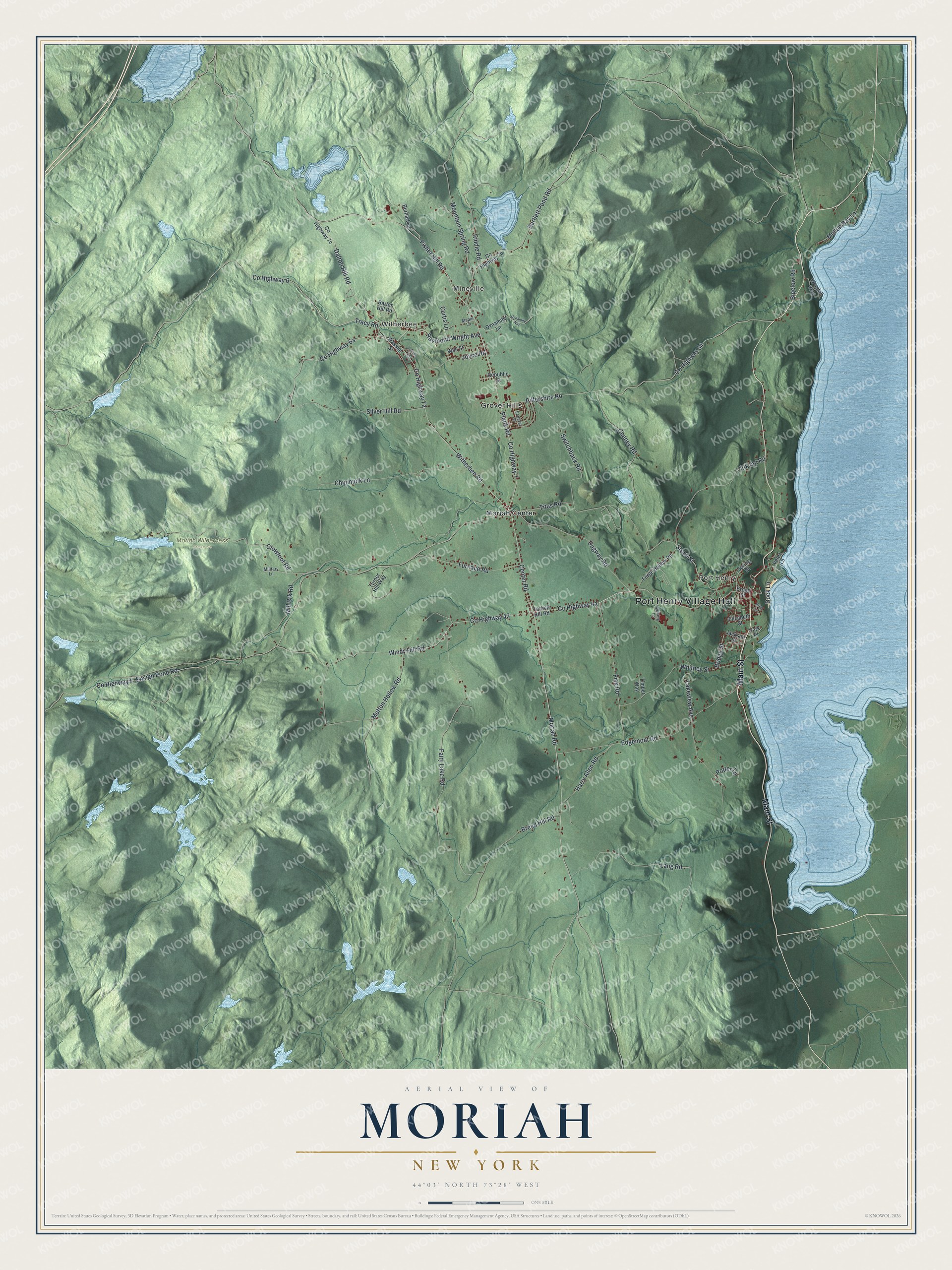
This beautifully detailed map of Moriah, New York was created in 2026 using aerial imagery combined with modern topographical, census, street and landmark data. It’s a one-of-a-kind view of Moriah that combines accurate data with a vintage aesthetic. The map shows every building in its true location, many of the roads carry their names, and the shaded topographic relief shows the shape of the land.
Explore an aerial view of Moriah, New York
On the map you’ll find Port Henry Village Hall, Port Henry, Mineville, Witherbee, Grover Hills, Moriah Center, and Moriah Wilderness Preserve, along with Main Street, Fisher Hill Road, Plank Road, Dalton Hill Road, and more. If you look closely you can even find your house accurately drawn in its correct location. Zoom in on the preview to look for yours.
Did You Know?
Moriah was split off from Elizabethtown in 1808. Iron found in the Adirondacks set off a boom in the local economy. Workers smelted the ore and shipped iron from Port Henry on Lake Champlain. That work lasted from 1824 until 1971, and the Iron Center Museum in Port Henry tells its story.
Take a closer look at the Moriah map
Names on this map
These names are printed on this map.
Places: Port Henry Village Hall, Port Henry, Mineville, Witherbee, Moriah Wilderness Preserve, Grover Hills and Moriah Center.
Streets and roads: Main Street, County Highway 6, Fisher Hill Road, Plank Road, Dalton Hill Road, Center Road, Moriah Road, Tracy Road, Raymond Wright Avenue, Pilfershire Road, Witherbee Road, County Highway 4.
More street names, A to Z
Bartlett Pond Road, Barton Hill Road, Bigelow Road, Breed Hill Road, Bridge Street, Broad Street, Burhart Lane, Cheney Road, Chipmunk Lane, County Highway 7, County Highway 42, County Highway 54, Crowfoot Road, Curtis Lane, Dock Lane, Dugway Road, Dynamite Lane, Dynamite Way, Edgemont Road, Elizabeth Street, Elk Inn Road, Ensign Pond Road, Fairy Lake Road, Federal Street, Fisk Road, Forge Hollow Road, Furnace Road, Harry Allen Road, Jackson Street, Joyce Road, Lakeview Avenue, Lamos Lane, Lang Road, Maple Lane, Military Lane, Mill Brk Road, Mountain Spring Road, Mullen Bay Lane, Mutton Hollow Road, Park Place, Potter Lane, Republic Street, Rice Lane, Riddle Road, Silver Hill Road, Spring Street, Stone Street, Switchback Road, Tarbell Hill Road, Timber Way, Titus Road, Turner Hill Way, Velez Lane, Viking Lane, Wall Street, Wasson Street, Whitney Street, Windy Hill Road, Woodall Way.
See it on a wall
The Moriah map as a framed print. Swipe for more.


This beautifully detailed map of Moriah makes an attractive addition to your office, library, or den, and it can even be used to teach children the geography and history of the area. It also makes a great gift for someone who left Moriah and still calls it home. When you’re done exploring, click here to get your copy of the Moriah map.