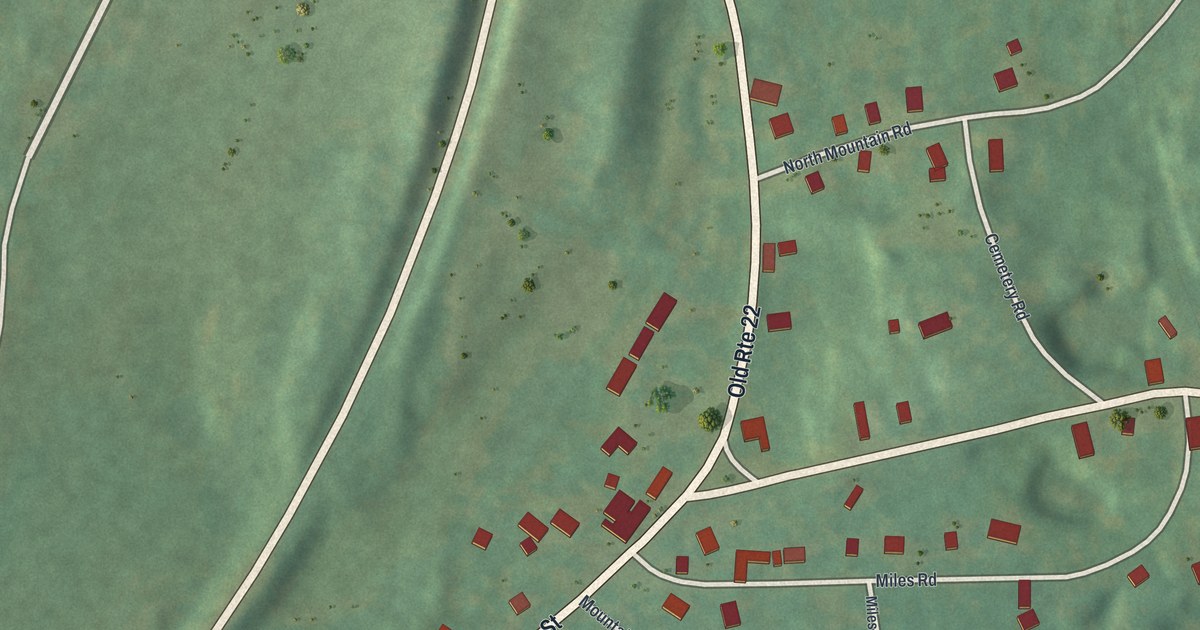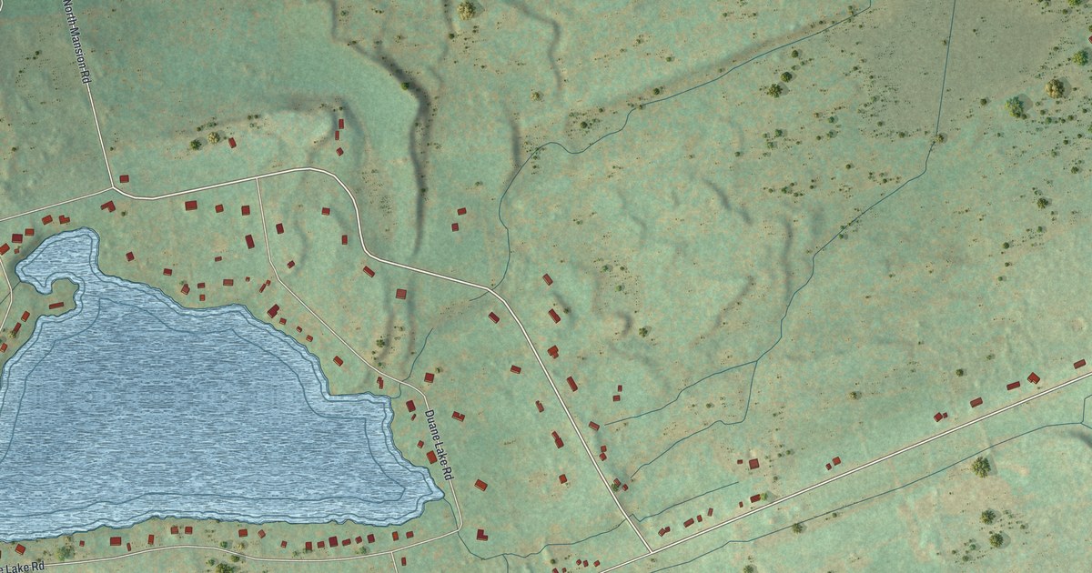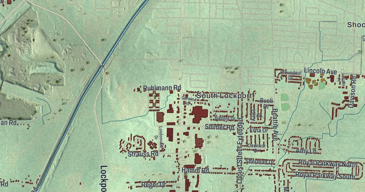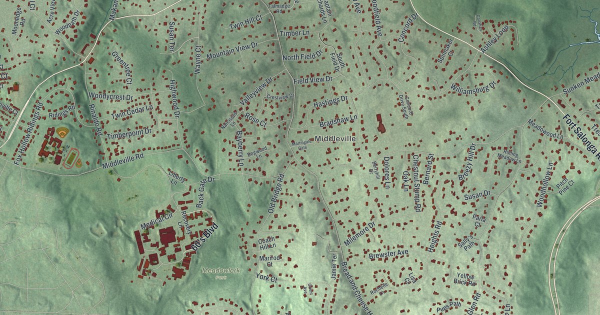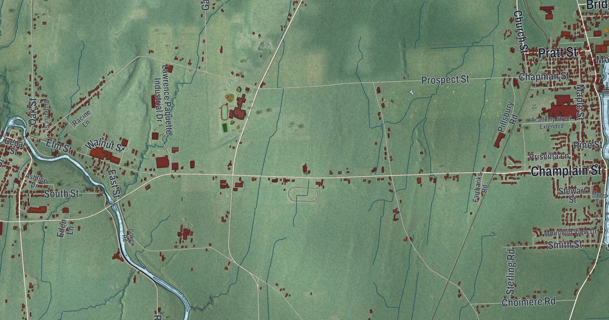
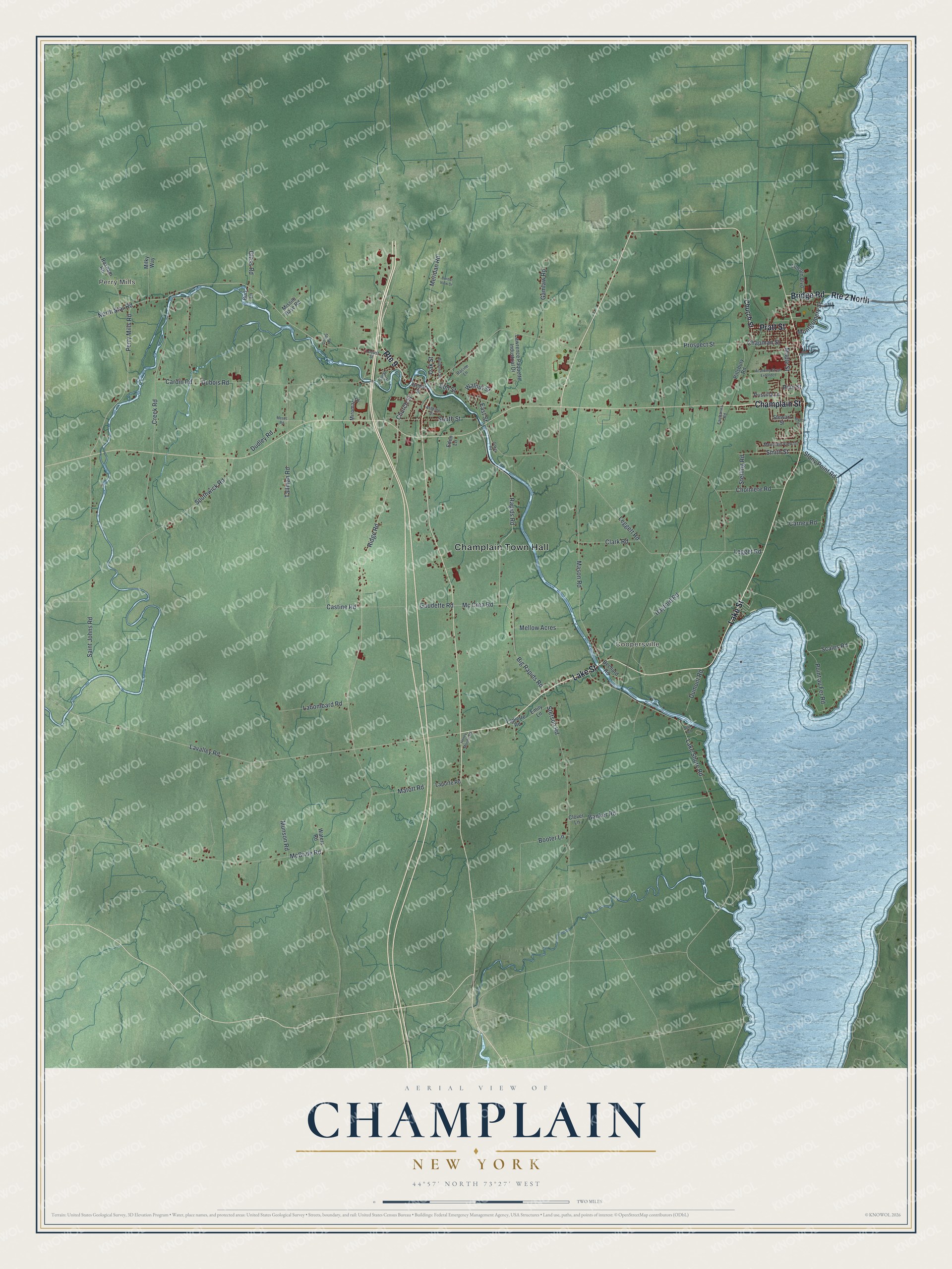
This beautifully detailed map of Champlain, New York was created in 2026 using aerial imagery combined with modern topographical, census, street and landmark data. It’s a one-of-a-kind view of Champlain that combines accurate data with a vintage aesthetic. The map shows every building in its true location, many of the roads carry their names, and the shaded topographic relief shows the shape of the land.
Explore an aerial view of Champlain, New York
On the map you’ll find Champlain Town Hall, Perry Mills, and Coopersville, along with Champlain Street, Pratt Street, Lake Street, Bridge Road, and more. If you look closely you can even find your house accurately drawn in its correct location. Zoom in on the preview to look for yours.
Did You Know?
Champlain carries the name of Samuel de Champlain, who surveyed the region in 1609. The land belonged to Canada until 1763 and passed to the United States in 1783. The town was organized in 1788, when Clinton County was also created.
Take a closer look at the Champlain map
Names on this map
These names are printed on this map.
Places: Champlain Town Hall, Perry Mills and Coopersville.
Streets and roads: Champlain Street, Pratt Street, Lake Street, Bridge Road, Route 2 North, Route 9, Mason Road, Church Street, Pine Street, Mc Crea Road, Ridge Road, Perry Mills Road.
More street names, A to Z
Academy Street Extended, Ashline Drive, Banker Road, Bechard Road, Big Rapids Road, Booter Lane, Border View Drive, Burl Lane, Butternut Street, Canal Street, Cardin Road, Carney Road, Castine Road, Cedar Street, Chapman Street, Choiniere Road, Clark Road, Clover Lane, Creek Road, Deyo Road, Dubois Road, Dudley Road, Dumont Road, East Street, Eden Lane, Elm Street, Emily Lane, Fairbanks Road, Gamlaw Road, Gaudette Road, Glass Road, Gokey Road, Gooley Road, Hayford Road, Honey Mooers Road, Labombard Road, Lake Shore Road, Lapierre Road, Laporte Road, Lavalley Road, Lawrence Paquette Industrial Drive, Legget Road, Leggett Road, Lincoln Boulevard, Locust Street, Maple Street, Matott Road, McBride Road, Mellow Acres, Meridan Road, Mesec Road, Milky Way, Miromar Drive, Missile Base Road, Montgomery Street, Mountain View Drive, Munson Road, Myers Street, North Star Road, Oak Street, Pillsbury Road, Point au Fer Road, Priscilla Lane, Prospect Street, Racine Lane, Rapids Road, Roxham Road, Saint Johns Road, Scales Road, Smith Street, South Street, Southwick Road, Sterling Road, Stetson Road, Stewart Street, Stony Point Road, Tallman Road, Walnut Street, Waters Road.
See it on a wall
The Champlain map as a framed print. Swipe for more.


This beautifully detailed map of Champlain makes an attractive addition to your office, library, or den, and it can even be used to teach children the geography and history of the area. It also makes a great gift for someone who left Champlain and still calls it home. When you’re done exploring, click here to get your copy of the Champlain map.