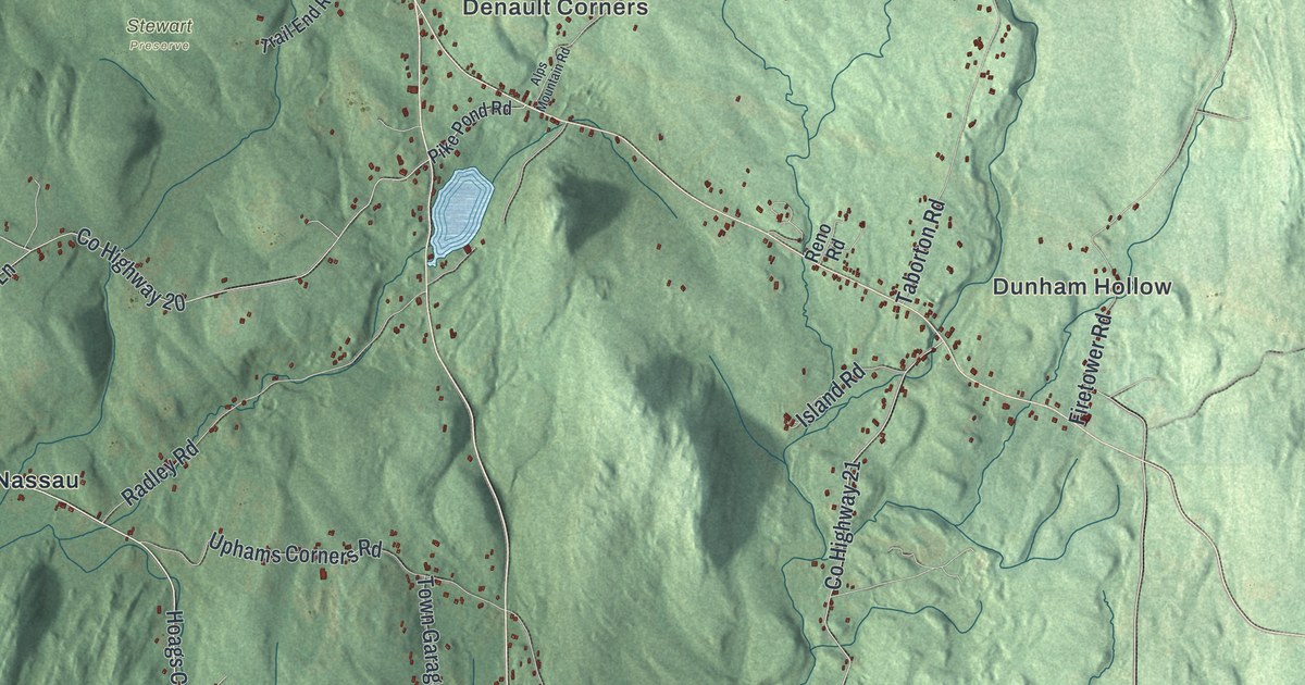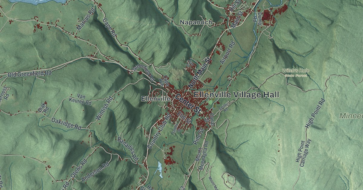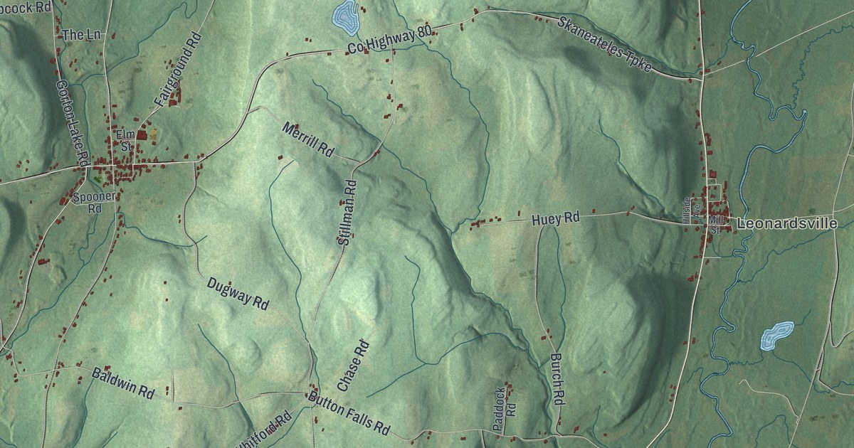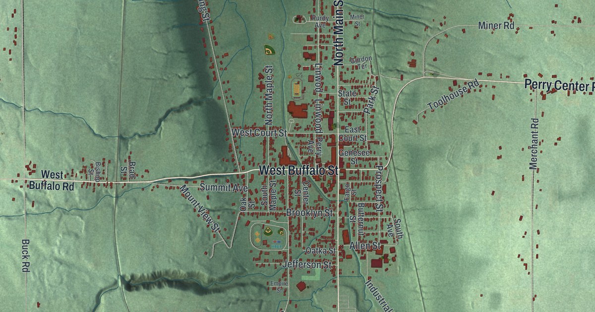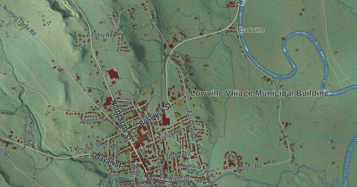
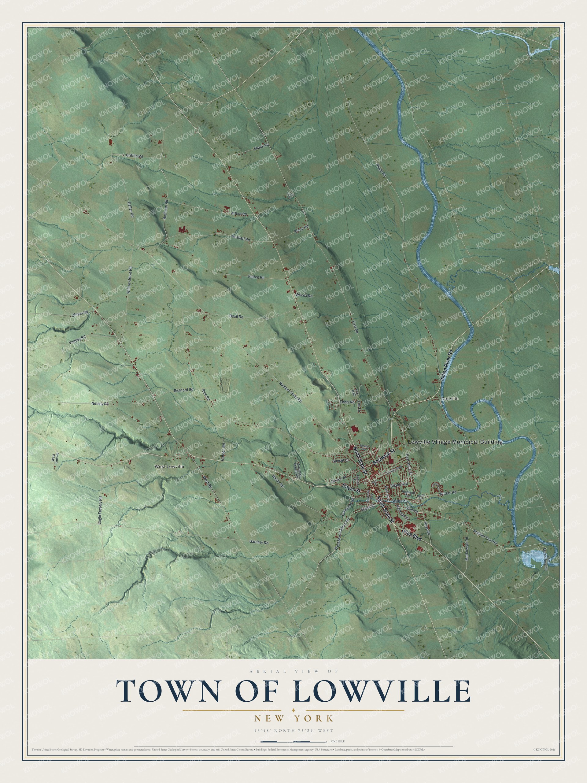
This beautifully detailed map of the Town of Lowville, New York was created in 2026 using aerial imagery combined with modern topographical, census, street and landmark data. It’s a one-of-a-kind view of the Town of Lowville that combines accurate data with a vintage aesthetic. The map shows every building in its true location, many of the roads carry their names, and the shaded topographic relief shows the shape of the land.
Explore an aerial view of the Town of Lowville, New York
On the map you’ll find Lowville Vliiage Municipal Building, Dadville, and West Lowville, along with Bostwick Street, Dayan Street, Indian River Road, Utica Boulevard, and more. If you look closely you can even find your house accurately drawn in its correct location. Zoom in on the preview to look for yours.
Did You Know?
Daniel Kelley came to Lowville from Middletown, Connecticut, in 1798 with his six sons. With help from neighbors he raised a sawmill and a two-story house. His son Datus worked the mill, then wed Sara Dean in 1810 and moved to Ohio. The couple later bought Kelleys Island in Lake Erie and founded a settlement there.
Take a closer look at the Town of Lowville map
Names on this map
These names are printed on this map.
Places: Lowville Vliiage Municipal Building, Dadville and West Lowville.
Streets and roads: Bostwick Street, Dayan Street, Indian River Road, Utica Boulevard, North State Street, South State Street, Stowe Street, River Street, Number Four Road, West Martinsburg Road, Waters Road, Ridge Road.
More street names, A to Z
Arthur Road, Bardo Road, Bickford Road, Boshart Road, Brookside Circle, Buell Road, Cascade Avenue, Cemetery Road, Clinton Street, Delles Road, Eagle Factory Road, East Martinsburg Road, Easton Street, East Road, East State Street, Ebbly Road, Emi Lane, Fox Path, Gardner Road, Gordon Road, Griffith Road, Highland Avenue, Hoffman Road, Maple Avenue, Markowski Road, Nefsey Road, Number Three Road, Obrien Road, Park Avenue, Park Place, Patten Road, Phinny Road, Railroad Street, Rice Road, Ross Road, Shack Road, Shady Avenue, Sharp Road, Summit Avenue, Sunset Drive, Trinity Avenue, Unnamed Private Road, Water Street, West Line Road, West Road, Wilcox Road, Willow Grove Road, Yancey Road.
See it on a wall
The Lowville map as a framed print. Swipe for more.


This beautifully detailed map of the Town of Lowville makes an attractive addition to your office, library, or den, and it can even be used to teach children the geography and history of the area. It also makes a great gift for someone who left the Town of Lowville and still calls it home. When you’re done exploring, click here to get your copy of the Town of Lowville map.