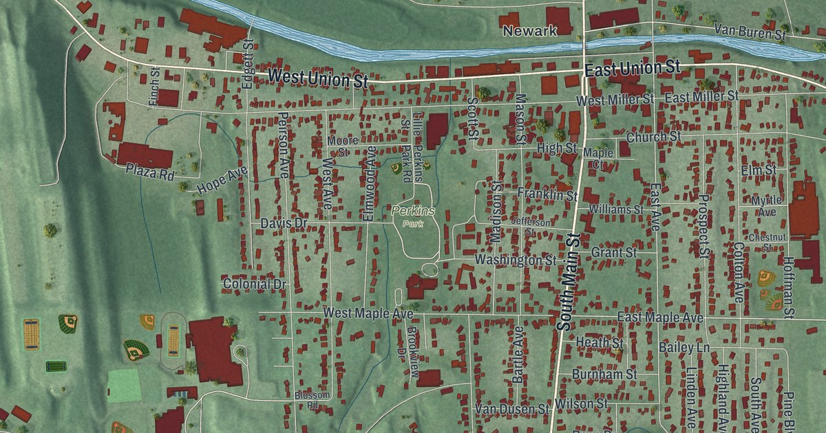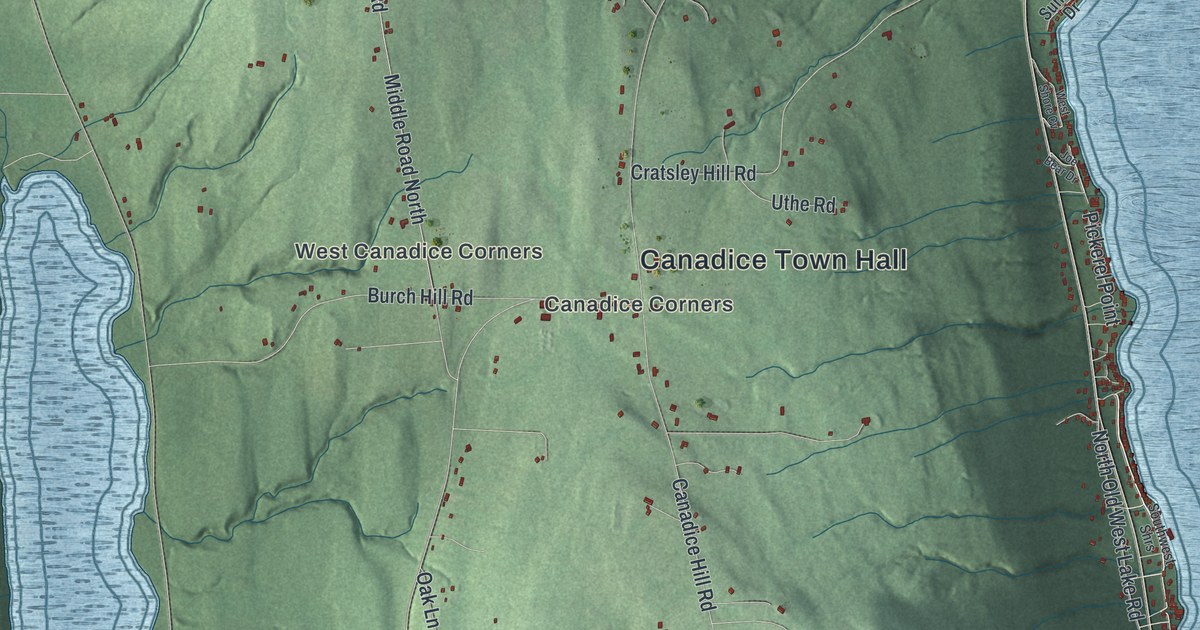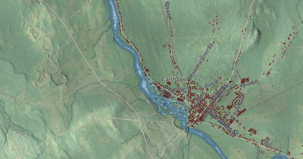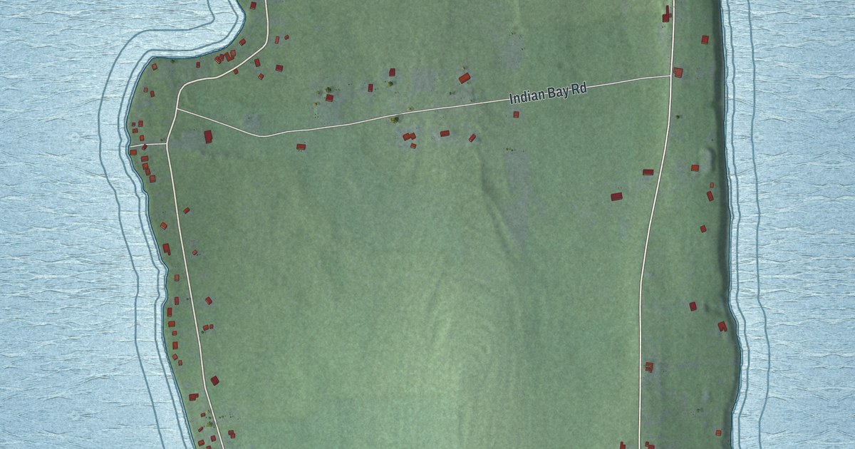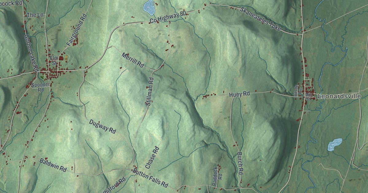
This beautifully detailed map of Brookfield, New York was created in 2026 using aerial imagery combined with modern topographical, census, street and landmark data. It’s a one-of-a-kind view of Brookfield that combines accurate data with a vintage aesthetic. The map shows every building in its true location, many of the roads carry their names, and the shaded topographic relief shows the shape of the land.
Explore an aerial view of Brookfield, New York
On the map you’ll find Leonardsville, Guideboard, Moscow Hill, North Brookfield, South Brookfield, and Brookfield Railroad State Forest, along with Faulkner Road, Swamp Road, Furman Mills Road, Mason Road, Ouleout Road, and more. If you look closely you can even find your house accurately drawn in its correct location. Zoom in on the preview to look for yours.
Did You Know?
Captain Daniel Brown of Connecticut brought the first family to settle in Brookfield. They arrived in June 1791 after 21 days behind an ox team, when he was 66. On July 4 he began clearing his land with his ax. It is counted as the first Fourth of July celebration in Madison County. That’s from the 1872 History of Madison County, State of New York.
Take a closer look at the Brookfield map
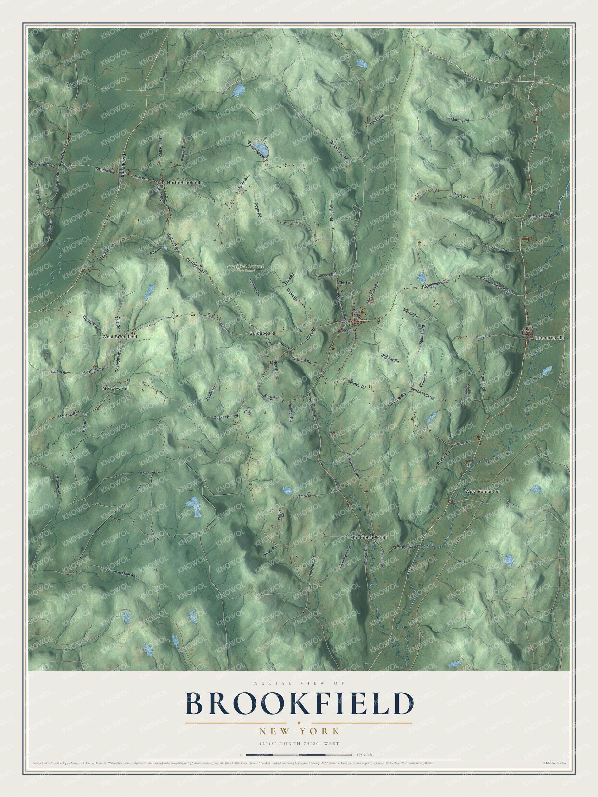
Names on this map
These names are printed on this map.
Places: Leonardsville, Brookfield Railroad State Forest, Guideboard, Moscow Hill, North Brookfield, South Brookfield, West Brookfield and West Edmeston.
Streets and roads: Faulkner Road, County Highway 78, Swamp Road, County Highway 80, Furman Mills Road, Mason Road, Ouleout Road, Main Street, Cole Hill Road, Lamb Road, Bailey Lake Road, Gorton Lake Road.
More street names, A to Z
Academy Road, Avery Road, Babcock Road, Bailey Road, Baldwin Road, Barnes Road, Beaver Creek Road, Bliven Road, Brown Road, Burch Road, Button Falls Road, Carter Road, Chase Road, Chesebro Road, Clark Road, Collins Road, County Highway 74, County Highway 84, County Highway 95, County Highway 99, Davis Road, Doyle Road, Dugway Road, Ellis Road, Elm Street, Fairground Road, Fitch Road, Friar Road, Giles Road, Hibbard Road, Hillside Avenue, Hollow Road, Holmes Road, Horse Trail, Hoxie Road, Huey Road, Jones Road, Keith Road, Kelly Road, Knight Road, Larkin Road, McIntyre Road, Merrill Road, Mill Hill Road, Mill Street, Miner Road, Morgan Road, Moscow Road, Murphy Road, Myers Road, Ovleout Road, Paddock Road, Page Road, Quaker Hill Road, Ritz Road, Roberts Road, Skaneateles Turnpike, Spooner Road, Stanbro Road, Stillman Road, The Lane, Vidler Road, Waterman Road, West Lake Road, Whitford Road, Wilcox Road, Wratten Road, York Road.
See it on a wall
The Brookfield map as a framed print. Swipe for more.


This beautifully detailed map of Brookfield makes an attractive addition to your office, library, or den, and it can even be used to teach children the geography and history of the area. It also makes a great gift for someone who left Brookfield and still calls it home. When you’re done exploring, click here to get your copy of the Brookfield map.