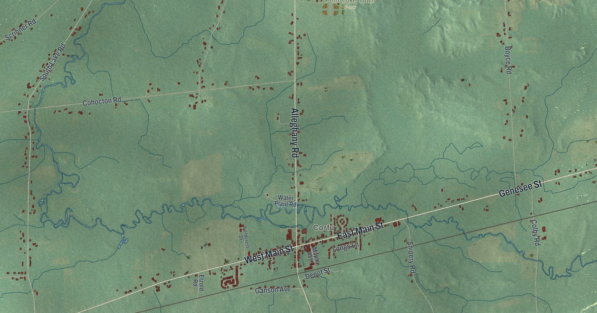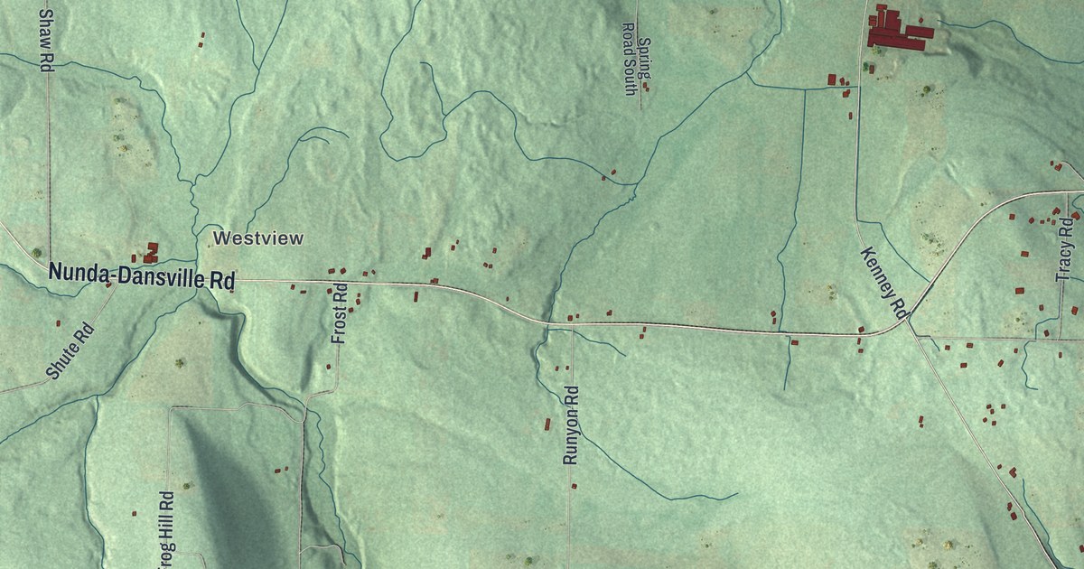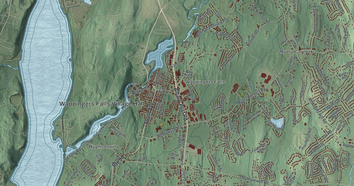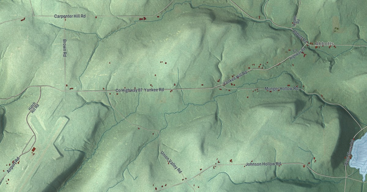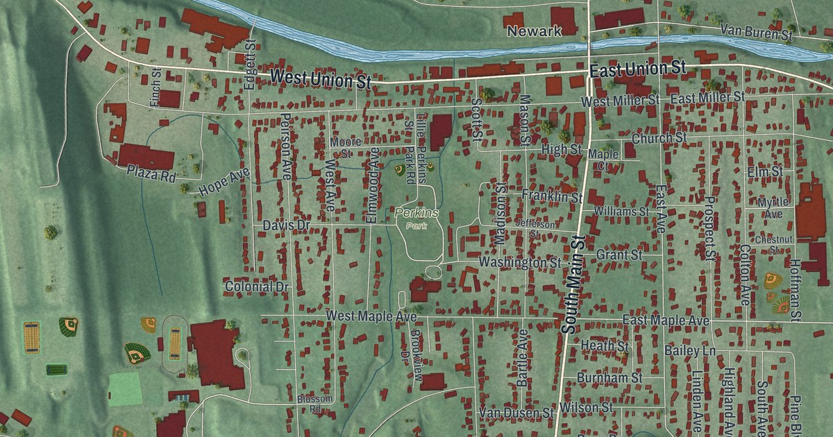
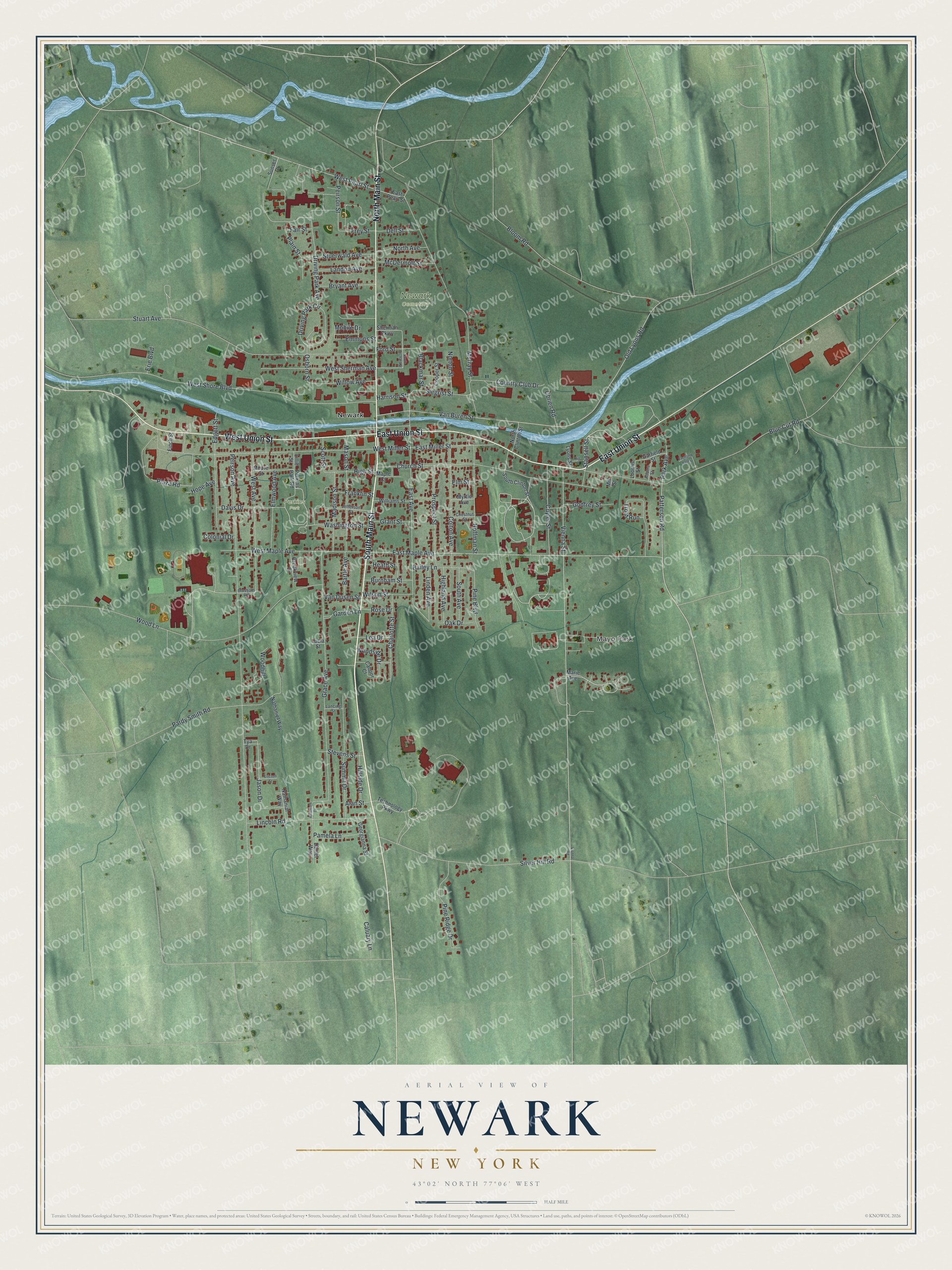
This beautifully detailed map of Newark, New York was created in 2026 using aerial imagery combined with modern topographical, census, street and landmark data. It’s a one-of-a-kind view of Newark that combines accurate data with a vintage aesthetic. The map shows every building in its true location, many of the roads carry their names, and the shaded topographic relief shows the shape of the land.
Explore an aerial view of Newark, New York
On the map you’ll find Mayo Park and Perkins Park, along with Main Street, Union Street, Patterson Road, Blue Cut Road, Stansell Street, and more. If you look closely you can even find your house accurately drawn in its correct location. Zoom in on the preview to look for yours.
Did You Know?
The Jackson and Perkins Company was founded in Newark in 1872. Albert Jackson started the firm with Charles H. Perkins, who was his son-in-law. It went on to win worldwide fame for its roses. In 1908 its Dorothy Perkins climbing rose earned an award from the National Rose Society of Great Britain.
Take a closer look at the Newark map
Names on this map
These names are printed on this map.
Places: Mayo Park, Newark Cemetery, Perkins Park and Newark.
Streets and roads: South Main Street, East Union Street, North Main Street, West Union Street, Patterson Road, Blue Cut Road, Stansell Street, Park Avenue, East Maple Avenue, West Pearl Street, Washington Street, East Avenue.
More street names, A to Z
Adams Street, Alan Street, Allandale Drive, Bailey Lane, Bartle Avenue, Blackmar Street, Bloom Road, Blossom Road, Brookview Drive, Bryant Avenue, Burnham Street, Caboor Court, Caluary Lane, Charlotte Street, Chestnut Street, Church Street, Colonial Drive, Colton Avenue, Cooper Street, Country Club Drive, Cuyler Street, Daniel Way, Davis Drive, Dell Street, Driving Park Avenue, Driving Park Circle, Eastland Valley, East Miller Street, East Pearl Street, Edgett Street, Elm Street, Elmwood Avenue, Emmons Street, Ericson Street, Erie Boulevard, Fair Street, Finch Street, Ford Street, Franklin Street, Frey Street, Garden Lane, Garfield Street, Georgianna Street, Godfrey Street, Grace Avenue, Grant Street, Harrison Street, Heath Street, Highland Avenue, High Street, Hillside Drive, Hill Street, Hoffman Street, Hope Avenue, Jason Drive, Jefferson Street, Lancing Street, Landon Avenue, Lea Drive, Lillie Street, Lincoln Road, Linden Avenue, Loomis Street, Lucia Street, Lyons Street, Madison Street, Maple Court, Marie Avenue, Mason Street, McDermott Street, Mill Street, Mobile Drive, Moore Street, Murray Street, Myrtle Avenue, Nathanial Way, Nathaniel Way, North Avenue, North Clinton Street, Norton Street, Oak Drive, Obrien Road, Old Lyons Road, Osborn Street, Pamela Lane, Pardy Smith Road, Peirson Avenue, Peirson Street, Perkins Park Road, Pine Boulevard, Pine Ridge Drive, Plain Street, Plaza Road, Prospect Street, Rose Drive, Scott Street, Sherman Parkway, Siegrist Street, Silver Hill Road, South Avenue, South Clinton Street, South Orchard Street, Stevens Street, Stuart Avenue, Stuerwald Avenue, Summit Drive, Sunset Drive, Technology Parkway, Trout Run, Tya Drive, Van Buren Street, Van Dusen Street, Vienna Road, Vienna Street, West Avenue, West Maple Avenue, West Miller Street, West Sherman Avenue, West Shore Boulevard, Williams Street, Willow Avenue, Wilson Street, Woodhill, Wood Lane, Woodside Drive.
See it on a wall
The Newark map as a framed print. Swipe for more.


This beautifully detailed map of Newark makes an attractive addition to your office, library, or den, and it can even be used to teach children the geography and history of the area. It also makes a great gift for anyone who grew up in Newark or moved away. When you’re done exploring, click here to get your copy of the Newark map.