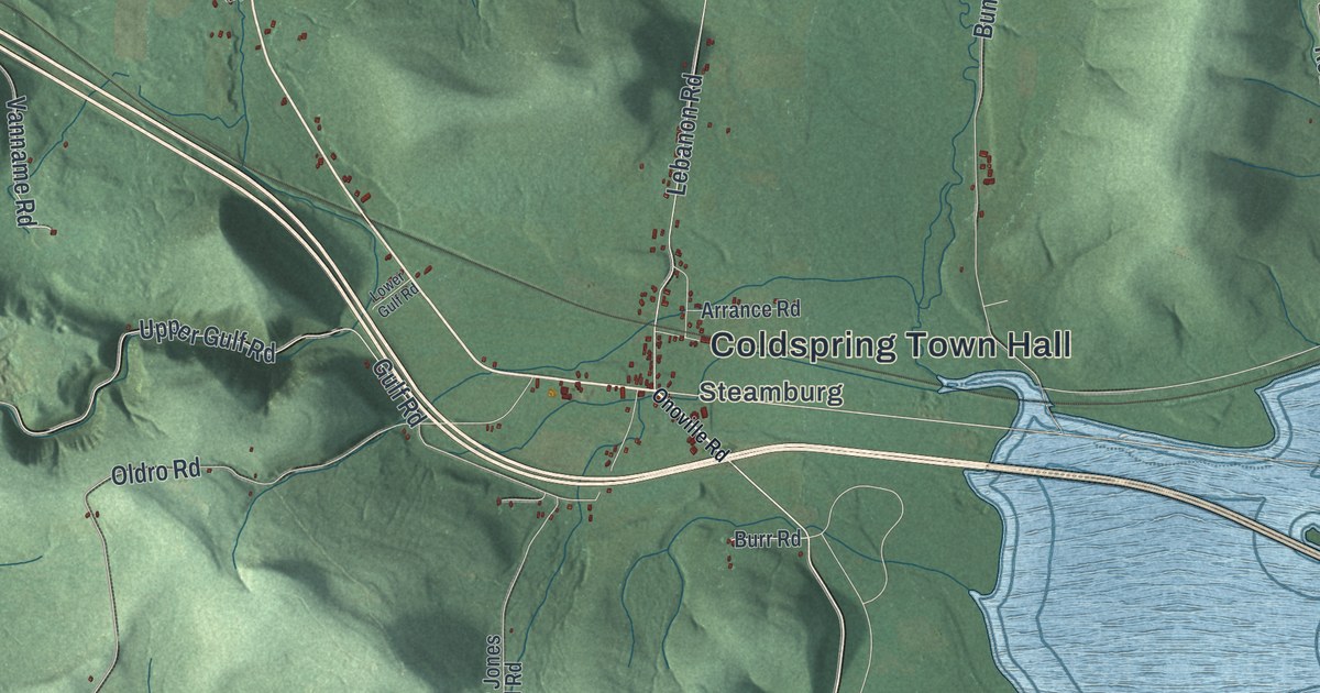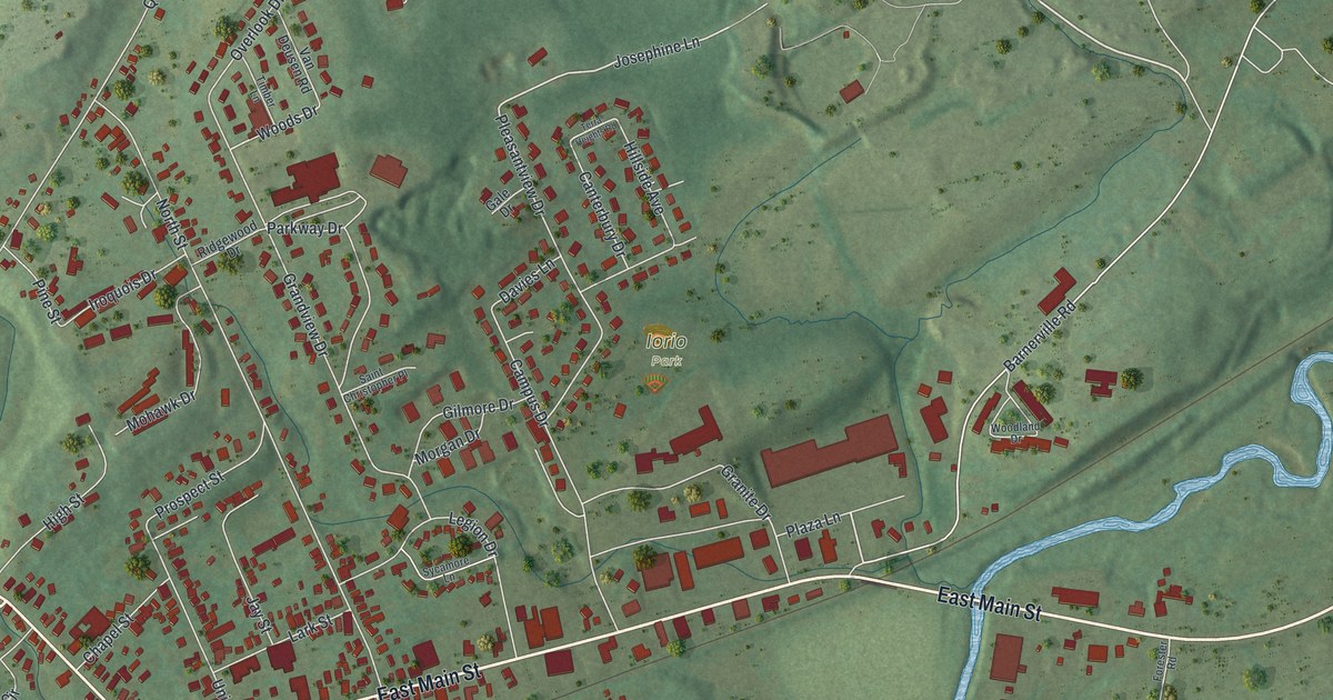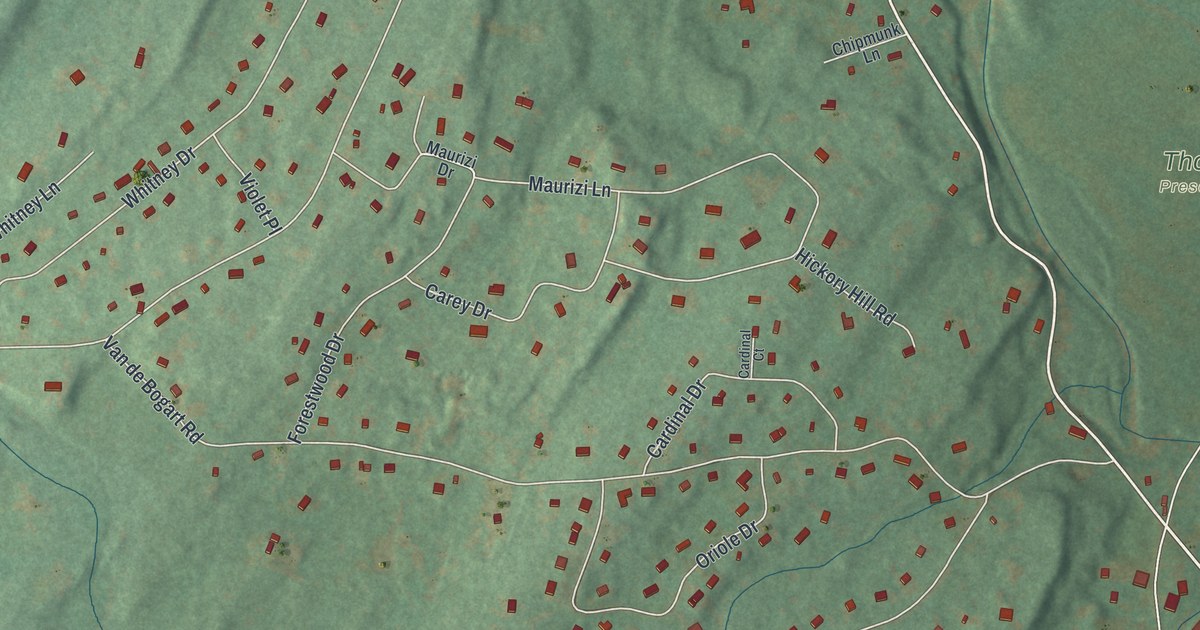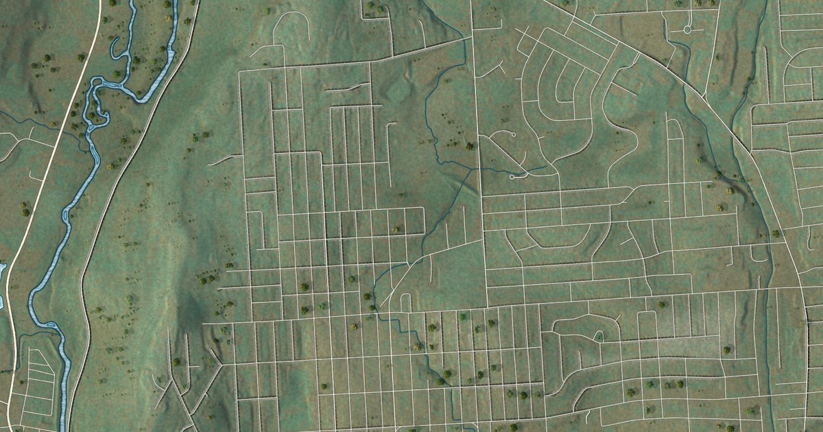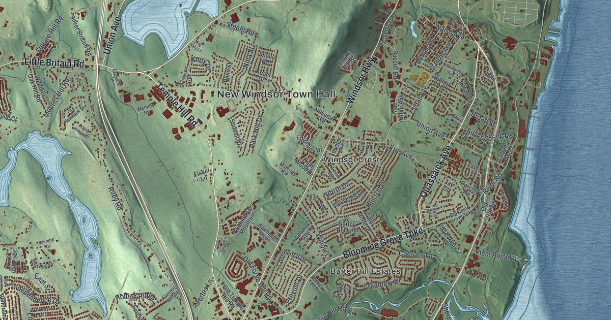
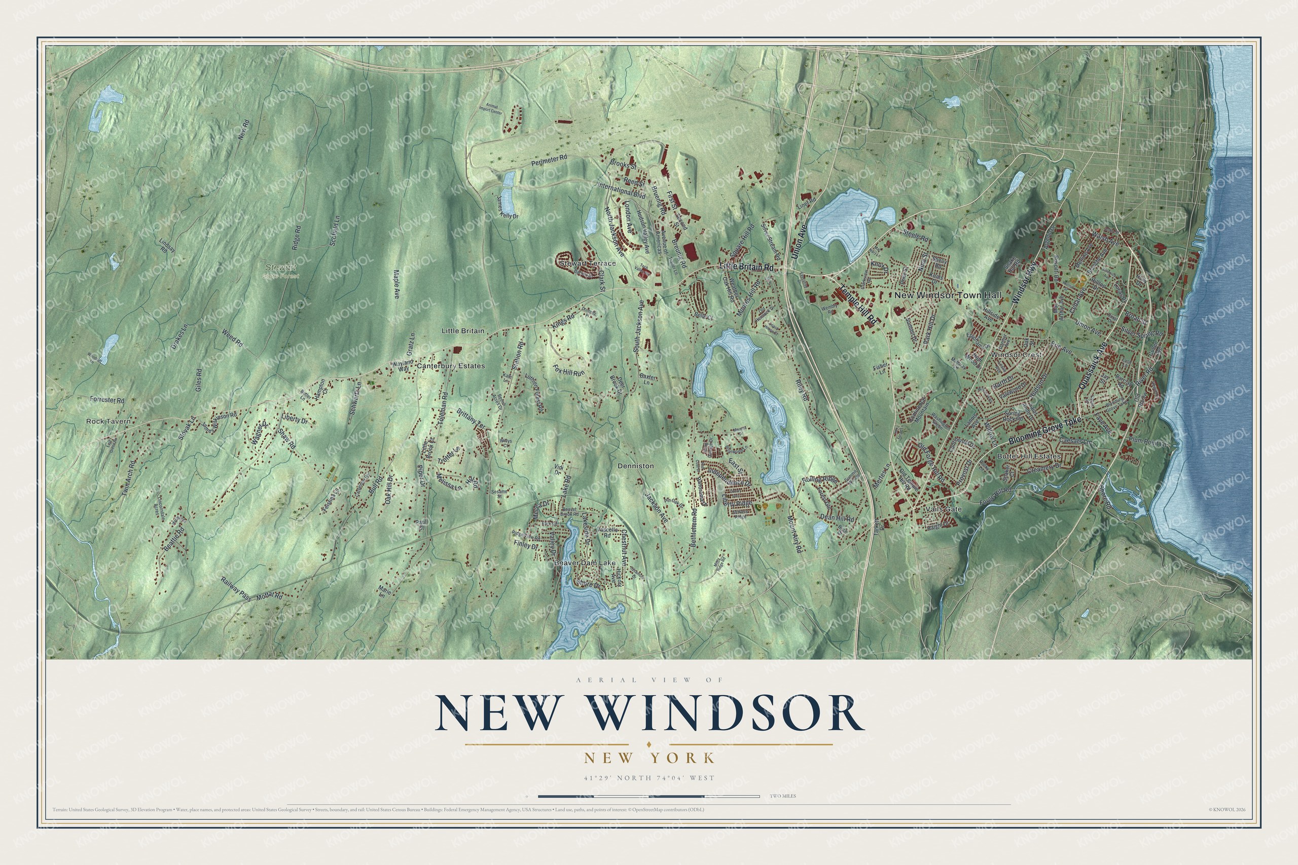
This beautifully detailed map of New Windsor, New York was created in 2026 using aerial imagery combined with modern topographical, census, street and landmark data. It’s a one-of-a-kind view of New Windsor that combines accurate data with a vintage aesthetic. The map shows every building in its true location, many of the roads carry their names, and the shaded topographic relief shows the shape of the land.
Explore an aerial view of New Windsor, New York
On the map you’ll find New Windsor Town Hall, Rock Tavern, Beaver Dam Lake, Denniston, Little Britain, and Stewart State Forest, along with Little Britain Road, Temple Hill Road, Quassaick Avenue, Blooming Grove Turnpike, Stewart Terrace, and more. If you look closely you can even find your house accurately drawn in its correct location. Zoom in on the preview to look for yours.
Did You Know?
George Washington made his headquarters at New Windsor in 1779 and again in 1780 and 1781. On July 4, 1779, he marked the third anniversary of independence here. He pardoned every war prisoner under sentence of death. Cannon at West Point fired 13 rounds. That’s from the 1940 WPA guide to New York.
Take a closer look at the New Windsor map
Names on this map
These names are printed on this map.
Places: New Windsor Town Hall, Rock Tavern, Stewart State Forest, Beaver Dam Lake, Butter Hill Estates, Canterbury Estates, Denniston, Little Britain, Stewart Terrace, Vails Gate and Windsor Crest.
Streets and roads: Little Britain Road, Temple Hill Road, Quassaick Avenue, Blooming Grove Turnpike, Windsor Highway, Union Avenue, River Road, Walsh Avenue, Bruenig Road, Breunig Road, Brooks Street, Perimeter Road.
More street names, A to Z
Animal Import Center, Argenio Drive, Avenue of Americas, Barclay Road, Barrett Drive, Baxter Lane, Beattie Road, Beaver Brook Road, Beech Acres Drive, Belle Court, Bethlehem Road, Birch Drive, Blanche Avenue, Briarwood Lane, Brittany Terrace, Broad Street, Bull Road, Butler Lane, Caesars Lane, Carpenter Road, Cedar Avenue, Cherry Tree, Chestnut Avenue, Clark Street, Clarkview Road, Coach House Court, Continental Drive, Continental Mountain, Creamery Drive, Cross Street, Cullen Avenue, Daniher Avenue, Dean Hill Road, Deer Brook Drive, Donnelly Place, Doral Drive, Drakes Lane, East Green Road, East Street, Epiphany Drive, Erie Avenue, Executive Drive, Faye Avenue, Feistma Lane, Finley Drive, First Street, Fisher Lane, Forest Gln, Forge Hill Road, Forrester Road, Fox Hill Run, Giles Road, Gratz Lane, Haight Drive, Hampton Court, Harth Drive, Hewitt Lane, Hickory Avenue, High Wood Drive, Hill Road, Hillside Avenue, Hilltop Drive, Holly Drive, Hudson Drive, Hudson Valley Avenue, Independence Drive, International Boulevard, Iron Forge Lane, Jackson Avenue, James Kelly Drive, James Wilkinson Road, Jay Street, John Street, Kale Lane, Keats Drive, King George Drive, Kings Road, Knox Drive, Lake Road, Lakeside Drive, Lannis Avenue, Leslie Avenue, Liberty Drive, Liberty Ridge, Lincolndale Acres, Lindsay Road, Liner Road, Lisa Lane, Little Brook Court, London Avenue, Lucas Drive, Lush Lane, Luthien Forest Road, Mac Arthur Avenue, Maclean Drive, Mac Nary Lane, Maharay Lane, Maple Avenue, Marie Lane, Marotta Drive, Mecca Drive, Melissa Lane, Merline Avenue, Mertes Lane, Misty Ridge Road, Moffat Road, Moores Hill Road, Mount Airy Road, New Road, Nina Street, North Jackson Avenue, Oak Hill Drive, Oak Street, Old Forge Hill Road, Old Hemlock Drive, Old Temple Hill Road, Panorama Drive, Park Hill Drive, Park Road, Paul Court, Philo Street, Pin Oak Drive, Piper Drive, Plum Point Lane, Provost Drive, Railway Pass, Red Coat Drive, Reed Street, Ridge Road, Ridge View Road, Riley Road, Rocky Lane, Rolling Ridge, Ruscitti Road, Saint Anne Drive, Schwartz Lane, Scofield Lane, Second Street, Sesame Street, Settlers Ridge, Shaker Court, Shaw Road, Shelly Road, Shore Drive, Shore Road, Silver Spring Road, Silver Stream Road, Slovak Lane, Snake Hill Road, South Jackson Avenue, Spring Rock Road, Square Hill Road, Station Road, Steele Road, Summit Drive, Summit Woods, Sycamore Drive, Tarkett Drive, Tech Valley Road, Toleman Road, Trailer Lane, Trotter Lane, Twin Arch Road, Valewood Drive, Valley Drive, Vascello Road, Veronica Avenue, Vidi Drive, Wagner Drive, Walnut Street, Washington Green, Wayland Way, Weather Oak Hill Road, Weed Road, Wembly Road, Willow Lane, Willow Parkway, Willys Court, Woodruff Lane.
See it on a wall
The New Windsor map as a framed print. Swipe for more.


This beautifully detailed map of New Windsor makes an attractive addition to your office, library, or den, and it can even be used to teach children the geography and history of the area. It also makes a great gift for anyone who grew up in New Windsor or moved away. When you’re done exploring, click here to get your copy of the New Windsor map.