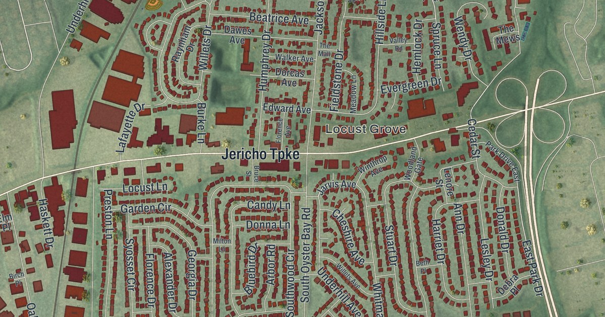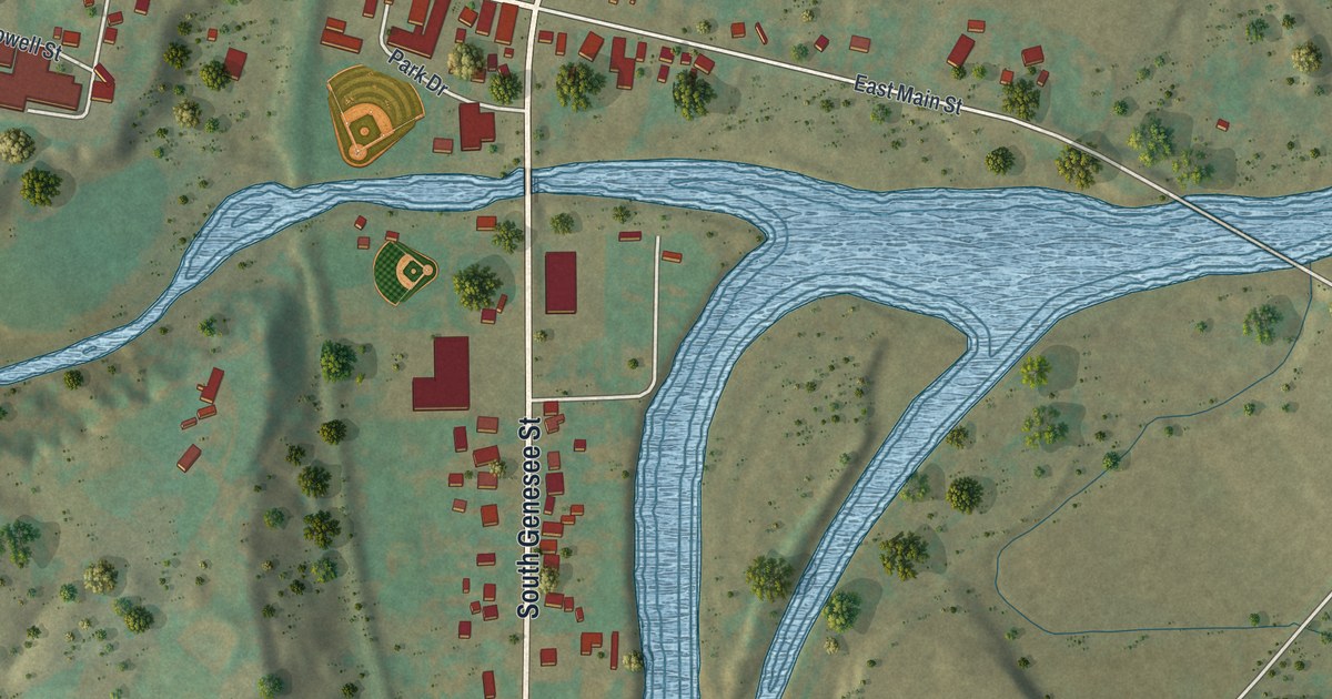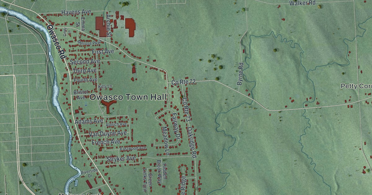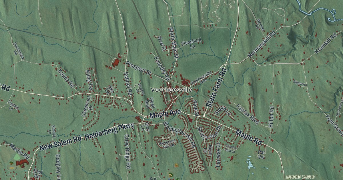
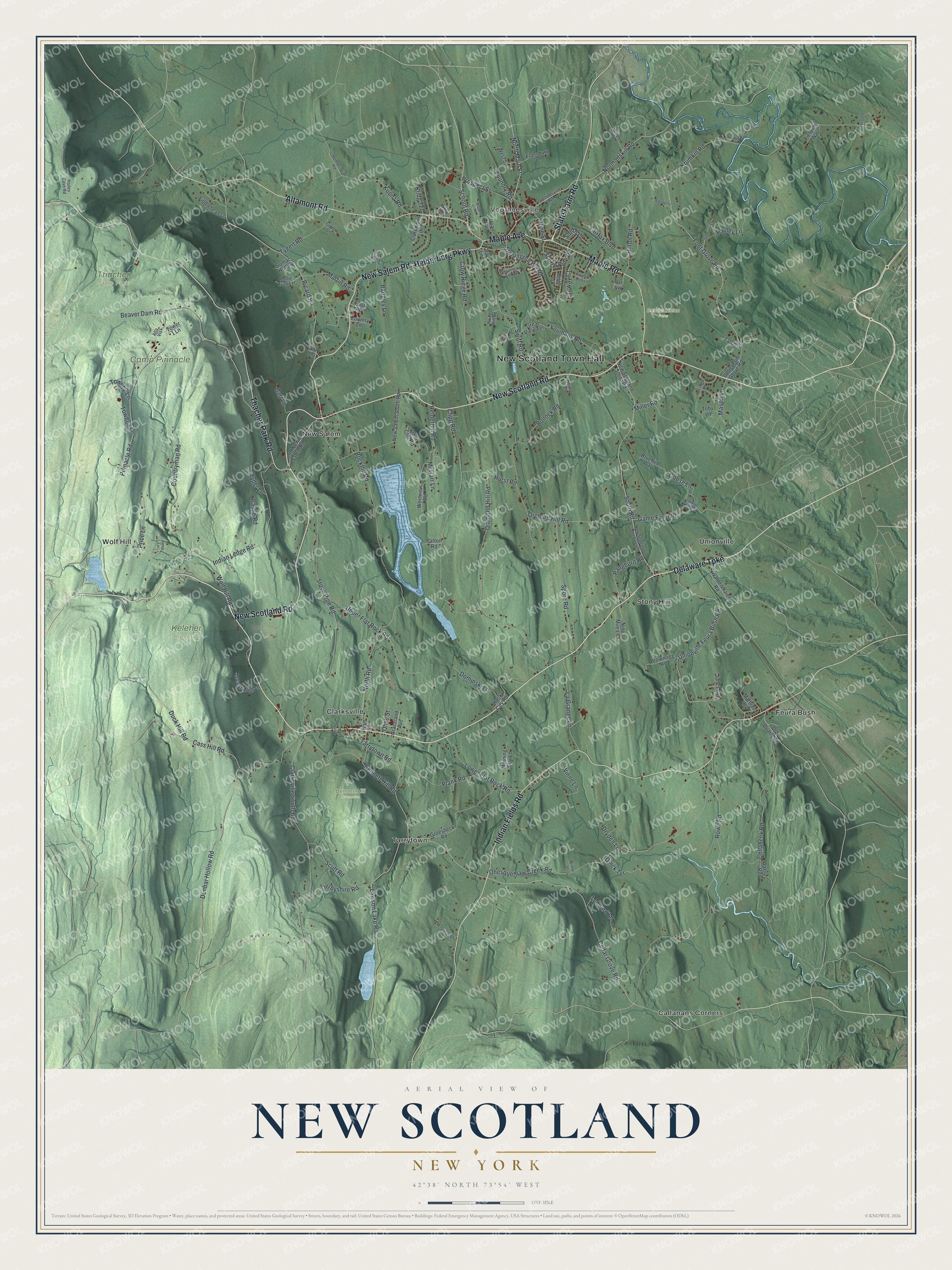
This beautifully detailed map of New Scotland, New York was created in 2026 using aerial imagery combined with modern topographical, census, street and landmark data. It’s a one-of-a-kind view of New Scotland that combines accurate data with a vintage aesthetic. The map shows every building in its true location, many of the roads carry their names, and the shaded topographic relief shows the shape of the land.
Explore an aerial view of New Scotland, New York
On the map you’ll find New Scotland Town Hall, Callanans Corners, Clarksville, Feura Bush, New Salem, Stony Hill, Bennett Hill Preserve, Keleher Preserve, and Thacher State Park, along with Delaware Turnpike, New Salem Road, Maple Road, Helderberg Parkway, and more. If you look closely you can even find your house accurately drawn in its correct location. Zoom in on the preview to look for yours.
Did You Know?
About 1758, Teunis Slingerland, a settler from Holland, bought 9,874 acres here from the Native owners. He made his home on the Oneskethau Flats and built the first mills. He is counted as the first settler of New Scotland. The town was formed from Bethlehem in 1832. That’s from the 1886 Bi-centennial History of Albany.
Take a closer look at the New Scotland map
Names on this map
These names are printed on this map.
Places: New Scotland Town Hall, Bender Melon Farm, Bennett Hill Preserve, Camp Pinnacle, Keleher Preserve, Thacher State Park, Callanans Corners, Clarksville, Feura Bush, New Salem, Stony Hill, Tarrytown, Unionville, Voorheesville and Wolf Hill.
Streets and roads: State Farm Road, Delaware Turnpike, New Salem Road, Maple Road, Helderberg Parkway, Maple Avenue, New Scotland Road, Indian Fields Road, Thacher Park Road, Altamont Road, School Road, North Main Street.
More street names, A to Z
Alta Vis, Badgley Lane, Baltis Drive, Beaver Dam Road, Bennett Hill Road, Birch Lane, Bloomer Road, Bluebird Way, Brownrigg Road, Bullock Road, Carl Lane, Cass Hill Road, Castle Road, Cedar Grove Road, Chickory Lane, Claremont Drive, Clarksville South Road, Clipp Road, Collabeck Road, Country Club Lane, Country Lane, Countryman Road, Crow Ridge Road, Deer Cliff Road, Derbyshire Road, Diamond Hill Road, Dominski Lane, Dryden Lane, Duck Hill Road, Dunbar Hollow Road, East Road, Fairfax Boulevard, Fairway Court, Fiddlehead Lane, Fielding Way, Flansburg Lane, Font Grove Road, Foundry Road, Fryer Lane, Fuglein Lane, Game Farm Road, Genovesi Lane, Goose Lane, Graceland Avenue, Gray Lane, Great View Terrace, Groesbeck Road, Hailes Cave Road, Hart Terrace, Helderhill Road, Hennessey Road, Hill Drive, Hilton Road, Hurst Road, Indian Ledge Road, Jones Avenue, Junco Lane, Kling Terrace, Koonz Road, Krumkill Road, La Grange Lane, Lawson Lake Road, Leonard Lane, Locust Knoll Lane, Lower Flat Rock Road, Martin Road, Martin Road Extension, Mason Lane, Mathias Place, McGarr Lane, Miller Road, Mill Road, Morning Star Lane, New Salem South Road, New Scotland Road South, New Scotland South Road, Nine Mile Lane, Normanskill Road, North Road, Old Krum Kill Road, Old New Salem Road, Old Quarry Road, Olive Street, Onesquethaw Creek Road, Orchard Hill Road, Pangburn Road, Par Vw, Patton Road, Pauley Lane, Picard Road, Pine Street, Pinnacle Road, Plank Road, Price Lane, Prospect Street, Quail Run, Quick Terrace, Rarick Road, Rigoberto, Rock City Road, Rockhill Road, Rowe Road, Ryder Lane, Scotch Pine Drive, Scutt Road, Seabee Lane, Severson Hill Road, Simmie Lane, Sky Terrace, Smith Lane, South Road, Spore Road, Stonington Hill Road, Stove Pipe Road, Sumac Hollow, Swift Road, Talon Drive, Tarrytown Road, Toby Lane, Tower 1 Lane, Tower 2 Lane, Tower 3 Lane, Tygert Road, Unionville Feura Bush Road, Upper Flat Rock Road, Upper Font Grove Road, Vloman Kill Road, Voorheesville Avenue, Waldenmaier Road, Westover Road, West Street, Westview Road, Willow Street, Winne Lane, Wisenburn Road, Wolf Hill Road, Woods Hill Road, Wormer Road, Youmans Road.
See it on a wall
The New Scotland map as a framed print. Swipe for more.


This beautifully detailed map of New Scotland makes an attractive addition to your office, library, or den, and it can even be used to teach children the geography and history of the area. It also makes a great gift for anyone with New Scotland roots. When you’re done exploring, click here to get your copy of the New Scotland map.