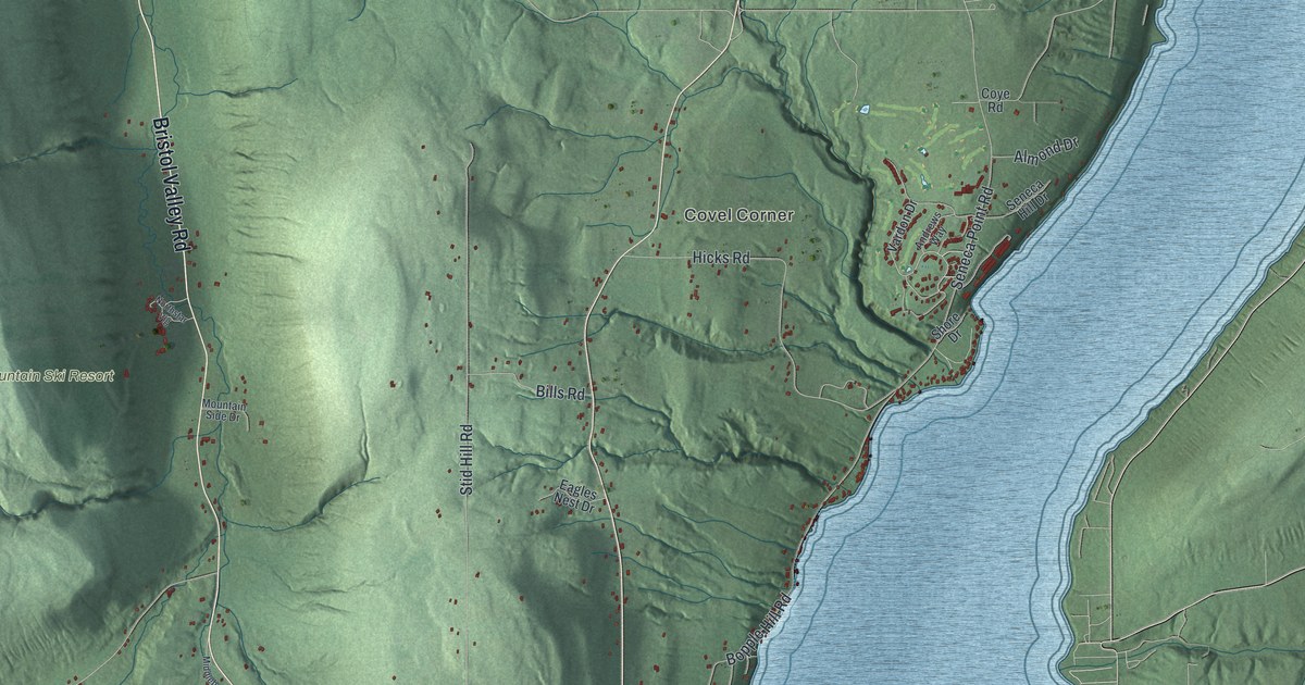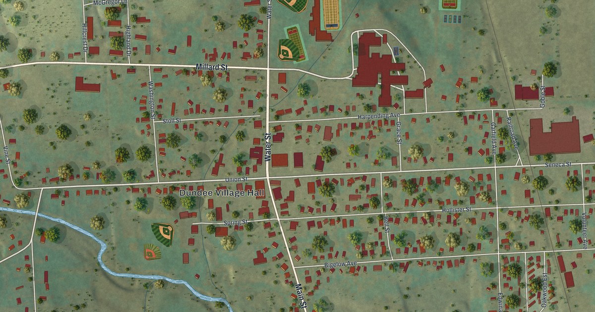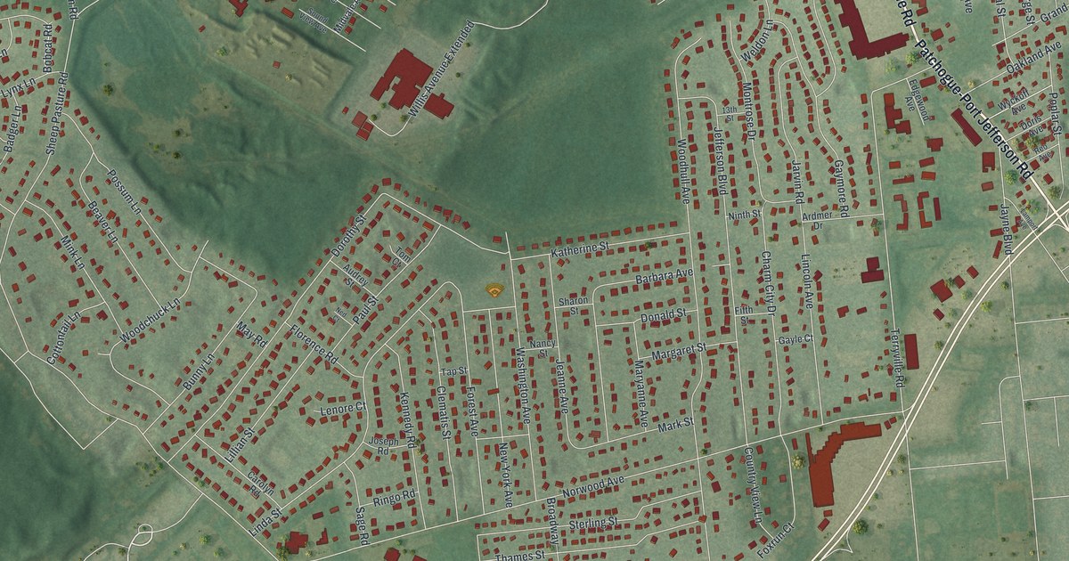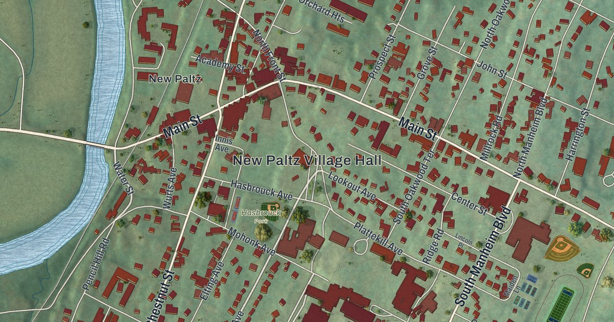
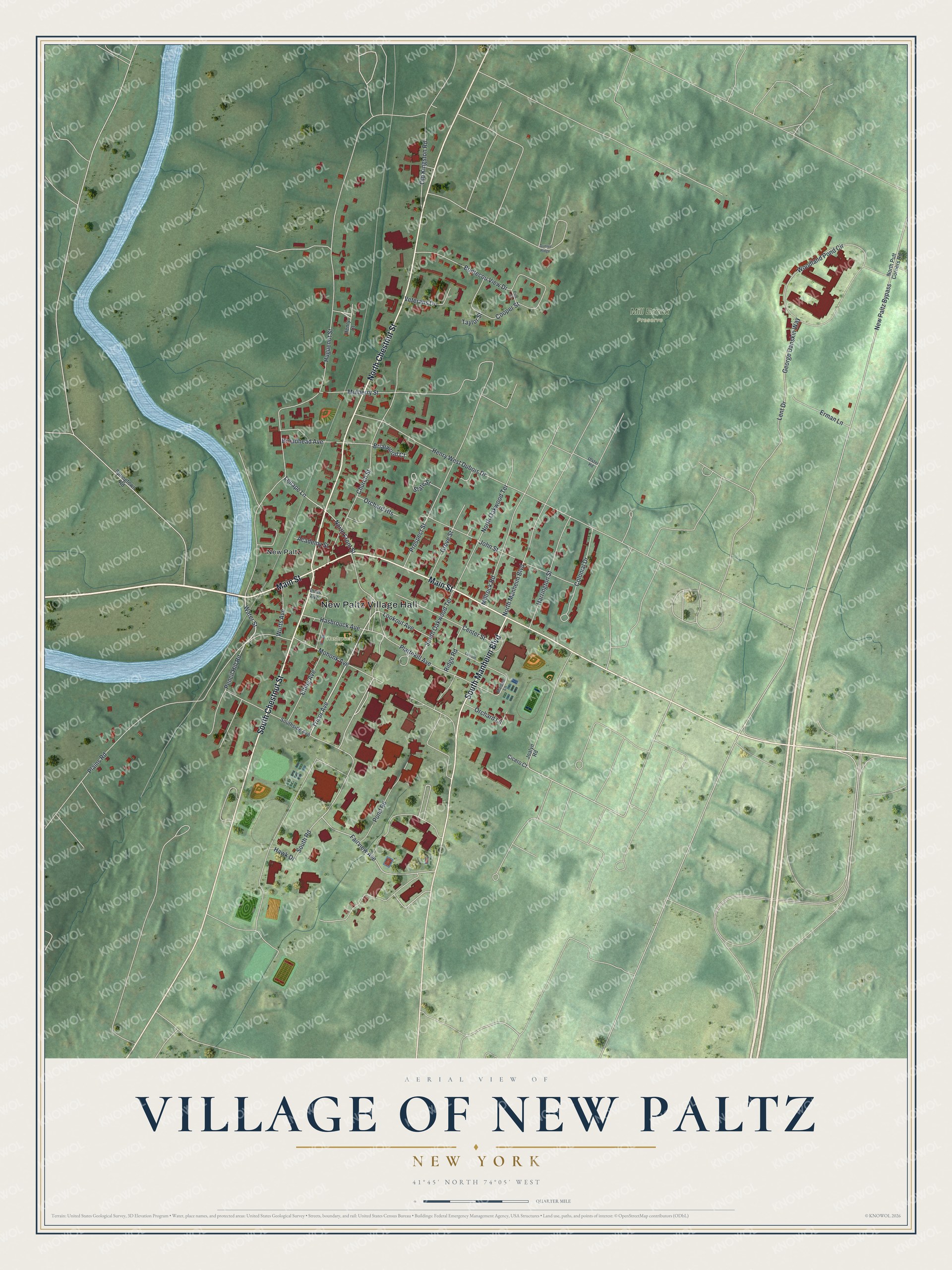
This beautifully detailed map of the Village of New Paltz, New York was created in 2026 using aerial imagery combined with modern topographical, census, street and landmark data. It’s a one-of-a-kind view of the Village of New Paltz that combines accurate data with a vintage aesthetic. The map shows every building in its true location, many of the roads carry their names, and the shaded topographic relief shows the shape of the land.
Explore an aerial view of the Village of New Paltz, New York
On the map you’ll find New Paltz Village Hall, Mill Brook Preserve, and Hasbrouck Park, along with Chestnut Street, Main Street, Manheim Boulevard, Tricor Avenue, and more. If you look closely you can even find your house accurately drawn in its correct location. Zoom in on the preview to look for yours.
Did You Know?
French Huguenots, among them Louis DuBois, founded New Paltz in 1678. Before crossing the ocean, they had sheltered in Mannheim, a town in the German Palatinate, or Pfalz. Locals there said Paltz. In 1677 the settlers bought the land from the Esopus, a Lenape people. Twelve partners, called the Duzine, governed the community.
Take a closer look at the Village of New Paltz map
Names on this map
These names are printed on this map.
Places: New Paltz Village Hall, Mill Brook Preserve, Hasbrouck Park and New Paltz.
Streets and roads: North Chestnut Street, Main Street, South Manheim Boulevard, South Chestnut Street, Tricor Avenue, Water Street, Fairview Avenue, Huguenot Street, Woodland Pond Circle, Henry West Dubois Drive, Plattekill Avenue, Church Street.
More street names, A to Z
Academy Street, Bontecou View Drive, Briarwood Court, Broadhead Avenue, Center Street, Cicero Court, Colonial Drive, Cooper Street, Elting Avenue, Erman Lane, George Danskin Way, Grove Street, Harrington Street, Hasbrouck Avenue, Hawk Drive, Henry Court, Innis Avenue, Joalyn Road, John Street, Lenape Lane, Lent Drive, Lincoln Place, Lookout Avenue, Maiden Lane, Millrock Road, Mohonk Avenue, Mulberry Street, New Paltz Bypass, North Front Street, North Manheim Boulevard, North Oakwood Terrace, North Putt Corners Road, Old Kingston Road, Orchard Heights, Orchard Lane, Pencil Hill Road, Pine Street, Plains Road, Pond Road, Prospect Street, Ridge Road, Slate Street, South Oakwood Terrace, South Road, Southside Avenue, Springtown Road, Sunset Ridge, Taylor Street, Ulster Road, Veterans Drive, Wurts Avenue.
See it on a wall
The New Paltz map as a framed print. Swipe for more.


This beautifully detailed map of the Village of New Paltz makes an attractive addition to your office, library, or den, and it can even be used to teach children the geography and history of the area. It also makes a great gift for anyone who grew up in the Village of New Paltz or moved away. When you’re done exploring, click here to get your copy of the Village of New Paltz map.