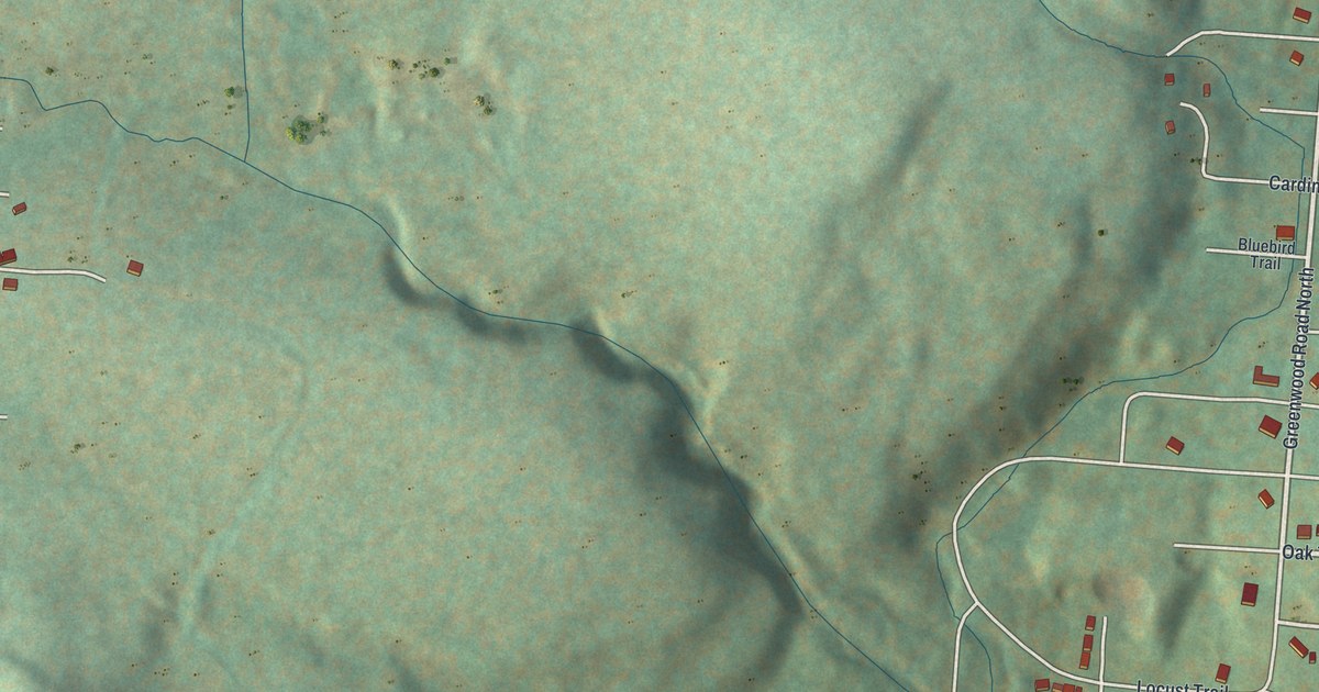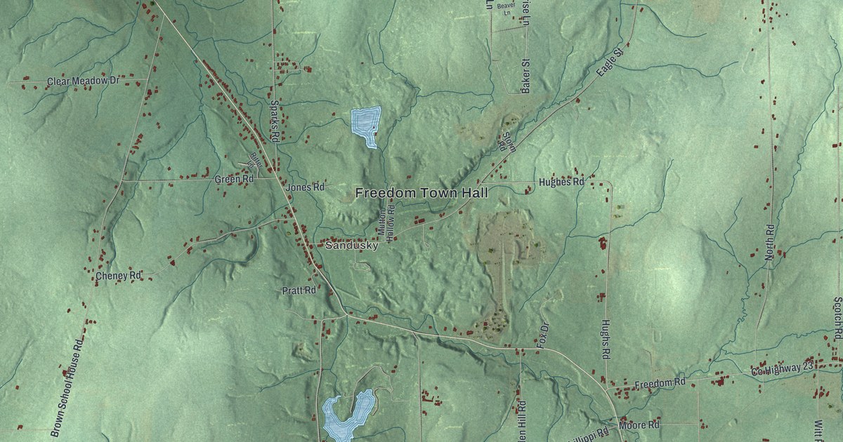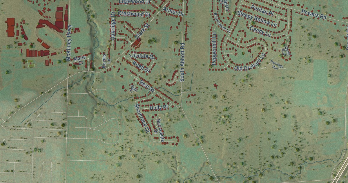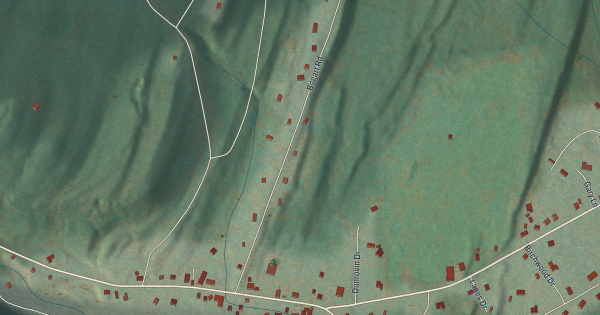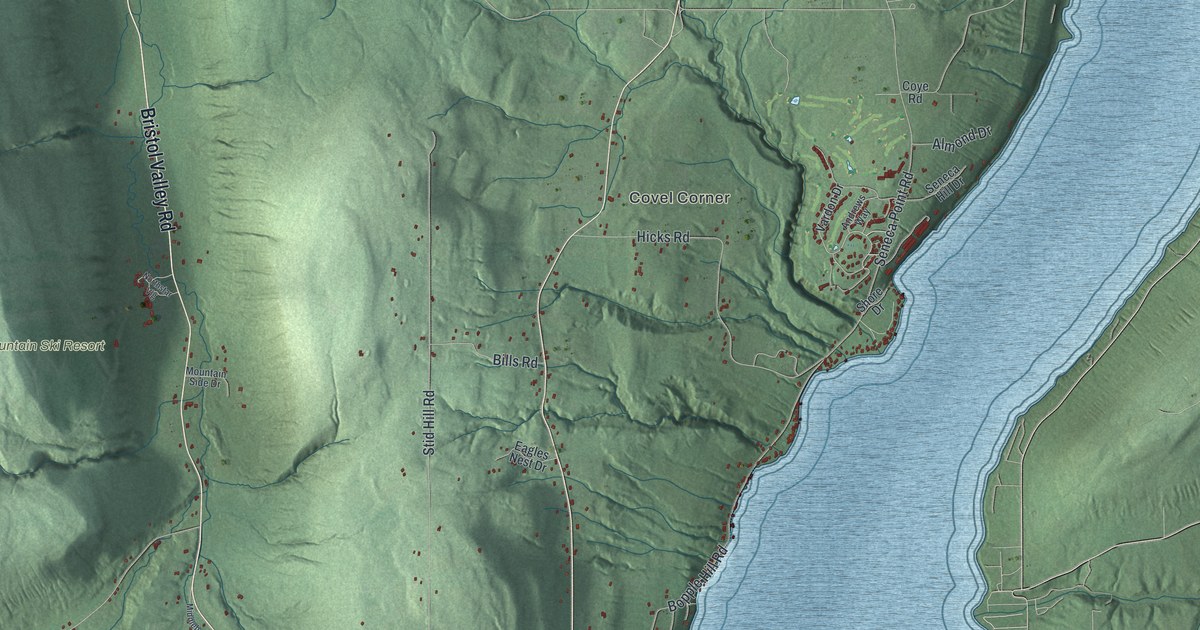
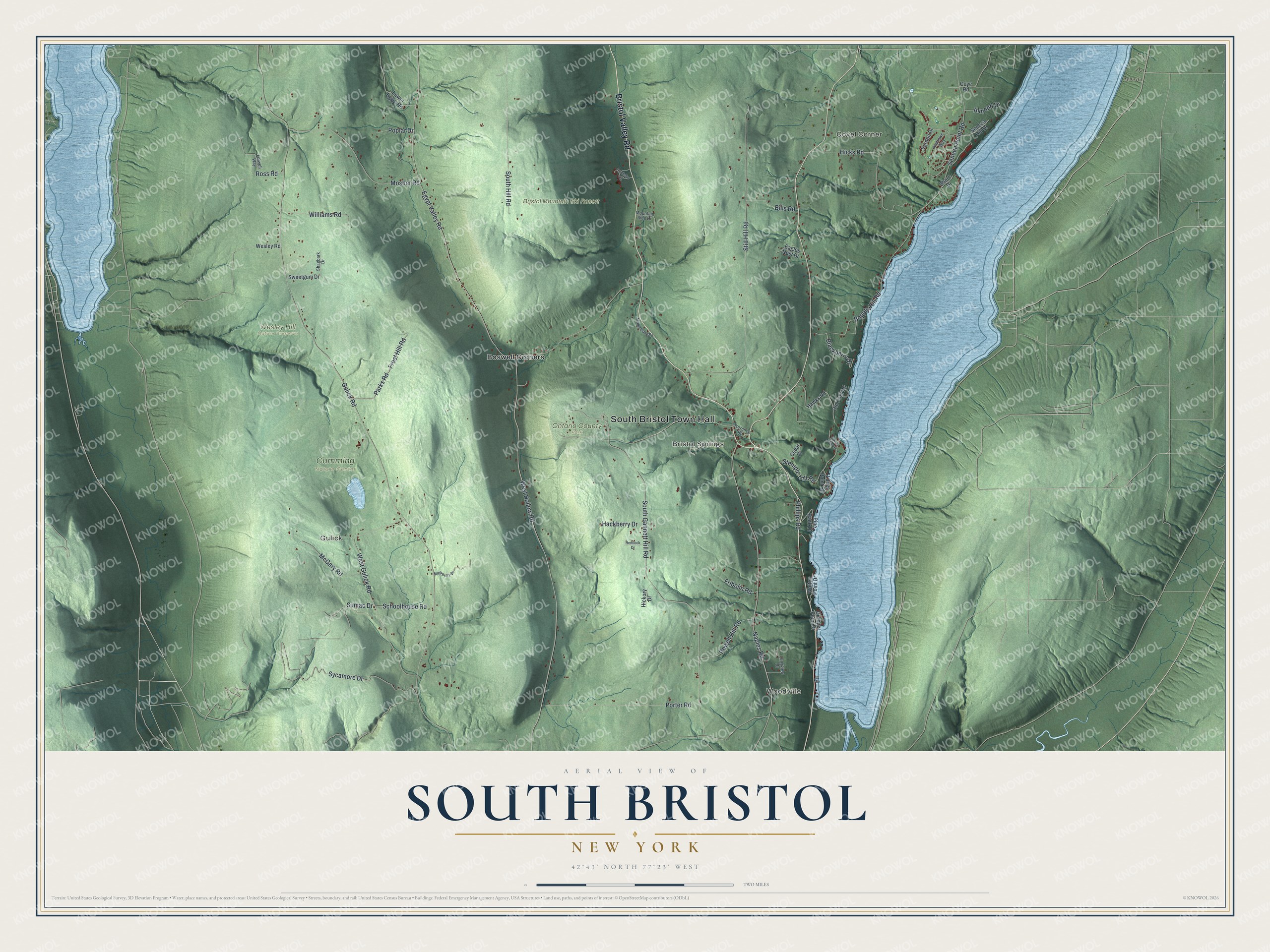
This beautifully detailed map of South Bristol, New York was created in 2026 using aerial imagery combined with modern topographical, census, street and landmark data. It’s a one-of-a-kind view of South Bristol that combines accurate data with a vintage aesthetic. The map shows every building in its true location, many of the roads carry their names, and the shaded topographic relief shows the shape of the land.
Explore an aerial view of South Bristol, New York
On the map you’ll find South Bristol Town Hall, Woodville, Covel Corner, Gulick, Bristol Springs, Boswell Corners, Ontario County Park, and Wesley Hill Nature Preserve, along with Gannett Hill Road, Gulick Road, Sycamore Drive, Hollow Road, and more. If you look closely you can even find your house accurately drawn in its correct location. Zoom in on the preview to look for yours.
Did You Know?
South Bristol was named for Bristol, the town it was carved out of in 1838. The land was part of the Phelps and Gorham Purchase. Settlers began arriving in 1789, the same year Ontario County was formed.
Take a closer look at the South Bristol map
Names on this map
These names are printed on this map.
Places: South Bristol Town Hall, Woodville, Covel Corner, Gulick, Bristol Springs, Bristol Mountain Ski Resort, Cumming Nature Center, Ontario County Park, Wesley Hill Nature Preserve and Boswell Corners.
Streets and roads: Bristol Valley Road, South Gannett Hill Road, Gulick Road, Sycamore Drive, West Hollow Road, Stid Hill Road, Egypt Valley Road, Naples Road, Seneca Point Road, West Gulick Road, Hicks Road, Mosher Road.
More street names, A to Z
Almond Drive, Andrews Way, Bills Road, Blackberry Drive, Bopple Hill Road, Cedar Drive, Cooks Point Road, Coye Road, Eagles Nest Drive, Folwell Way, Fribolin Road, Frost Hill Road, Granger Point Drive, Hackberry Drive, Hawks Road, Hemlock Drive, Hickory Drive, Longs Point Road, Longview Drive, Lower Egypt Road, McGary Road, Middlebrook Road, Mountain Side Drive, Northstar Vlg, Old Post Road, Parks Road, Phillips Road, Pine Bank Drive, Poplar Drive, Porter Road, Powell Hill Road, Ross Road, Schoolhouse Road, Seneca Hill Drive, Shagbark Drive, Shore Drive, South Hill Road, Stemple Hill Road, Sugarberry Drive, Sumac Drive, Sweetgum Drive, Torrence Road, Vardon Drive, Walton Point Drive, Wesley Road, Williams Road.
See it on a wall
The South Bristol map as a framed print. Swipe for more.


This beautifully detailed map of South Bristol makes an attractive addition to your office, library, or den, and it can even be used to teach children the geography and history of the area. It also makes a great gift for someone who left South Bristol and still calls it home. When you’re done exploring, click here to get your copy of the South Bristol map.