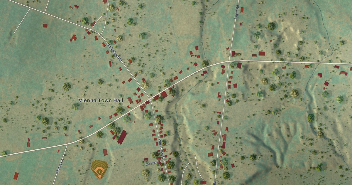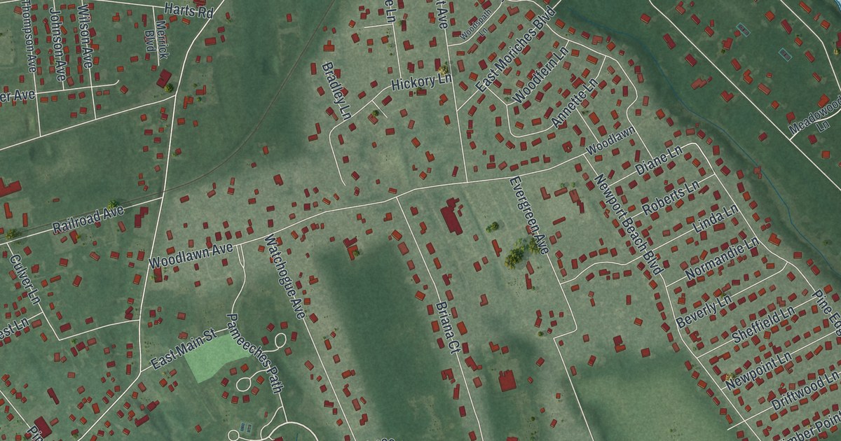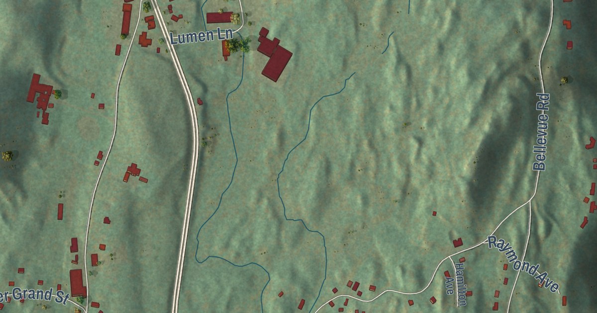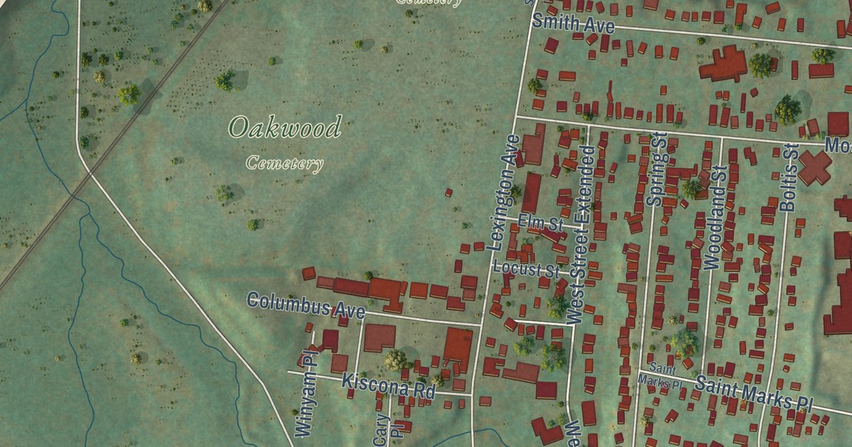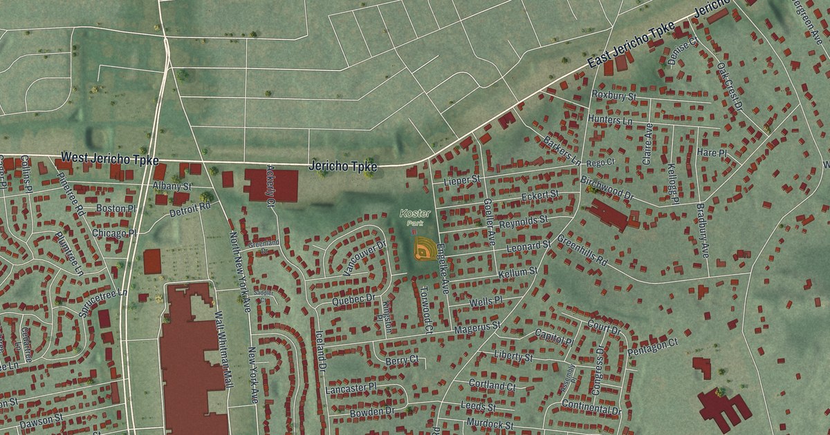
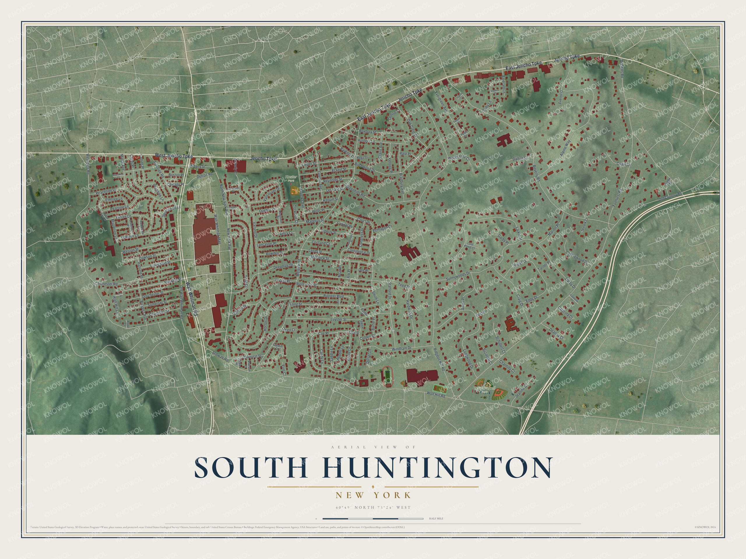
This beautifully detailed map of South Huntington, New York was created in 2026 using aerial imagery combined with modern topographical, census, street and landmark data. It’s a one-of-a-kind view of South Huntington that combines accurate data with a vintage aesthetic. The map shows every building in its true location, many of the roads carry their names, and the shaded topographic relief shows the shape of the land.
Explore an aerial view of South Huntington, New York
On the map you’ll find Walt Whitman Mall, Terry Farrell Park, and Koster Park, along with Jericho Turnpike, Walt Whitman Road, Norwich Street, New York Avenue, and more. If you look closely you can even find your house accurately drawn in its correct location. Zoom in on the preview to look for yours.
Did You Know?
South Huntington is the birthplace of Walt Whitman. In 1962, Abraham and Straus opened the first store at the Walt Whitman Shopping Center. The center was Long Island’s first enclosed mall. A statue of Whitman was added after a renovation in 2013.
Take a closer look at the South Huntington map
Names on this map
These names are printed on this map.
Places: Terry Farrell Park and Koster Park.
Streets and roads: West Jericho Turnpike, East Jericho Turnpike, Jericho Turnpike, Walt Whitman Road, Walt Whitman Mall, Norwich Street, New York Avenue, North New York Avenue, Detroit Road, Smith Lane, Pidgeon Hill Road, Wolf Hill Road.
More street names, A to Z
Ackerly Court, Albany Street, Alpine Way, Ames Place, Apple Tree Lane, Ark Place, Ashtree Place, Assembly Place, Avon Place, Barkers Lane, Bartel Place, Berry Court, Beverly Road, Birchwood Drive, Boston Place, Bowden Drive, Bradbury Avenue, Bridle Lane, Burgess Avenue, Cager Place, Candy Lane, Capitol Place, Cardiff Court, Caterina Court, Cedartree Lane, Chantilly Court, Chicago Place, Chichester Road, Claire Avenue, Coe Place, Coe Street, Colden Street, Collingwood Drive, Collins Place, Congress Drive, Continental Drive, Cortland Court, Court Drive, Covington Street, Craig Drive, Cupid Court, Dalton Court, Darby Drive, Darby Place, Dawson Street, Deanna Court, Deepdale Drive, Dee Place, Denise Court, Dix Hills Road, Dorchester Street, Dorset Lane, Eckert Street, Eddy Drive, Edison Drive, Elmtree Lane, Emerald Lane, Engelke Avenue, Everest Court, Evergreen Avenue, Filomena Court, Firtree Lane, Flint Court, Florence Court, Foxhurst Road, Gablin Court, Goeller Avenue, Greenhills Road, Greenland Drive, Hardwick Drive, Hare Place, High Hill Lane, Highland Road, Horton Drive, Hunters Lane, Iceland Drive, Jeanine Court, Karbe Place, Kellogg Place, Kellum Street, Kingston Place, Kurt Street, Lancaster Place, Larch Place, Larkin Street, Leeds Street, Leonard Street, Liberty Street, Lieper Street, Livingston Street, Locust Place, Long Street, Longwood Drive, Lost Pond Court, Lowick Place, Luyster Street, Magerus Street, Mapletree Lane, Marcy Avenue, Marion Place, Melville Road, Murdock Street, Noah Place, Oak Crest Drive, Oakhurst Street, Oaktree Lane, Old Country Road, Old Walt Whitman Road, Owen Court, Peachtree Lane, Peartree Lane, Pebble Lane, Pentagon Court, Peter Court, Pierson Place, Pinetree Road, Pioneer Boulevard, Plumtree Lane, Poster Place, Quebec Drive, Rego Court, Reynolds Street, Rope Court, Roxbury Street, Ruby Lane, Rushmore Street, Saddle Lane, Saddler Court, Sapphire Place, Schubert Court, Schwab Road, Skylark Court, Slater Place, Somerset Street, Sprucetree Lane, Stafford Drive, Sunnywoods Drive, Suzanne Court, Teed Street, Todd Court, Torwood Court, Tremont Court, Turner Place, Vancouver Drive, Violet Drive, Wells Place, West Hills Road, Weston Street, Windham Drive, Woodstone Court.
See it on a wall
The South Huntington map as a framed print. Swipe for more.


This beautifully detailed map of South Huntington makes an attractive addition to your office, library, or den, and it can even be used to teach children the geography and history of the area. It also makes a great gift for anyone who grew up in South Huntington or moved away. When you’re done exploring, click here to get your copy of the South Huntington map.