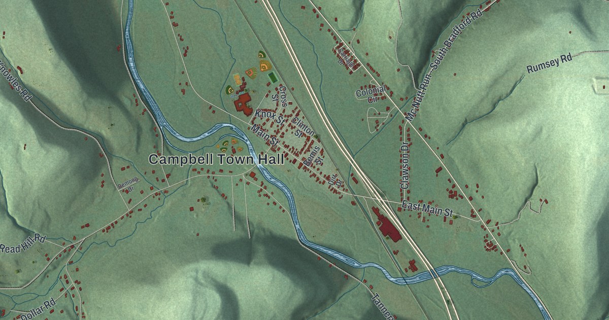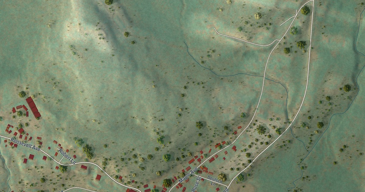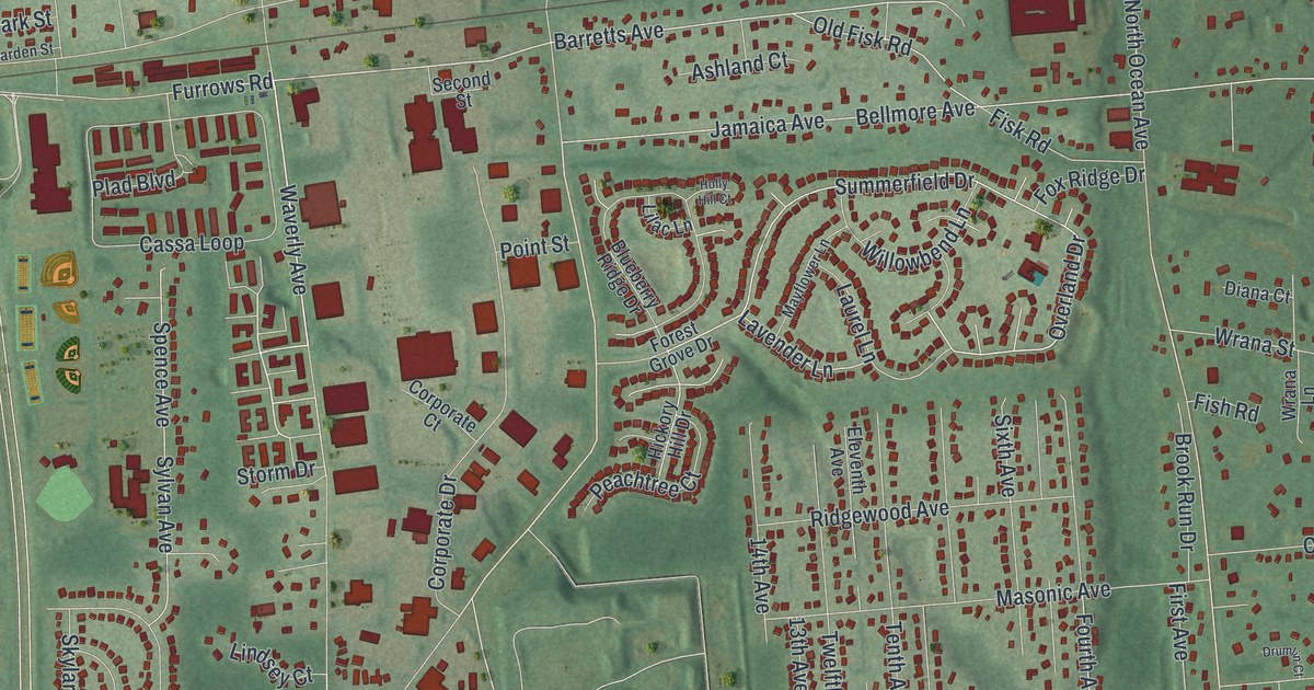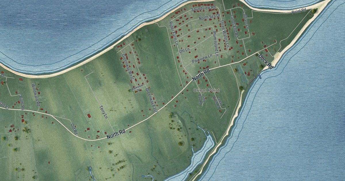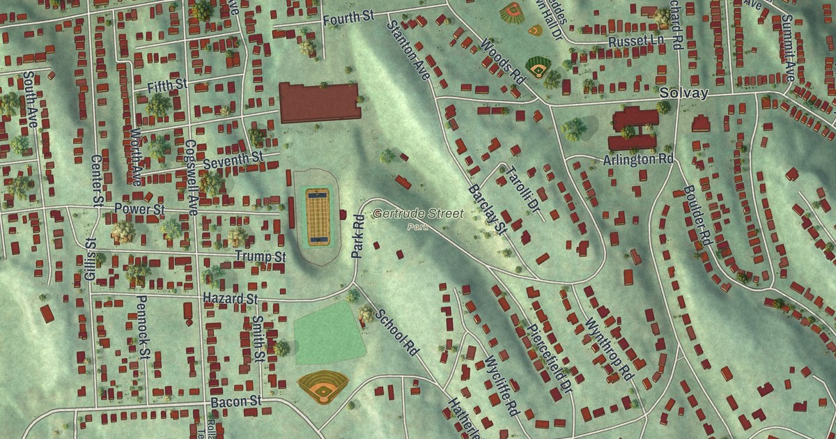
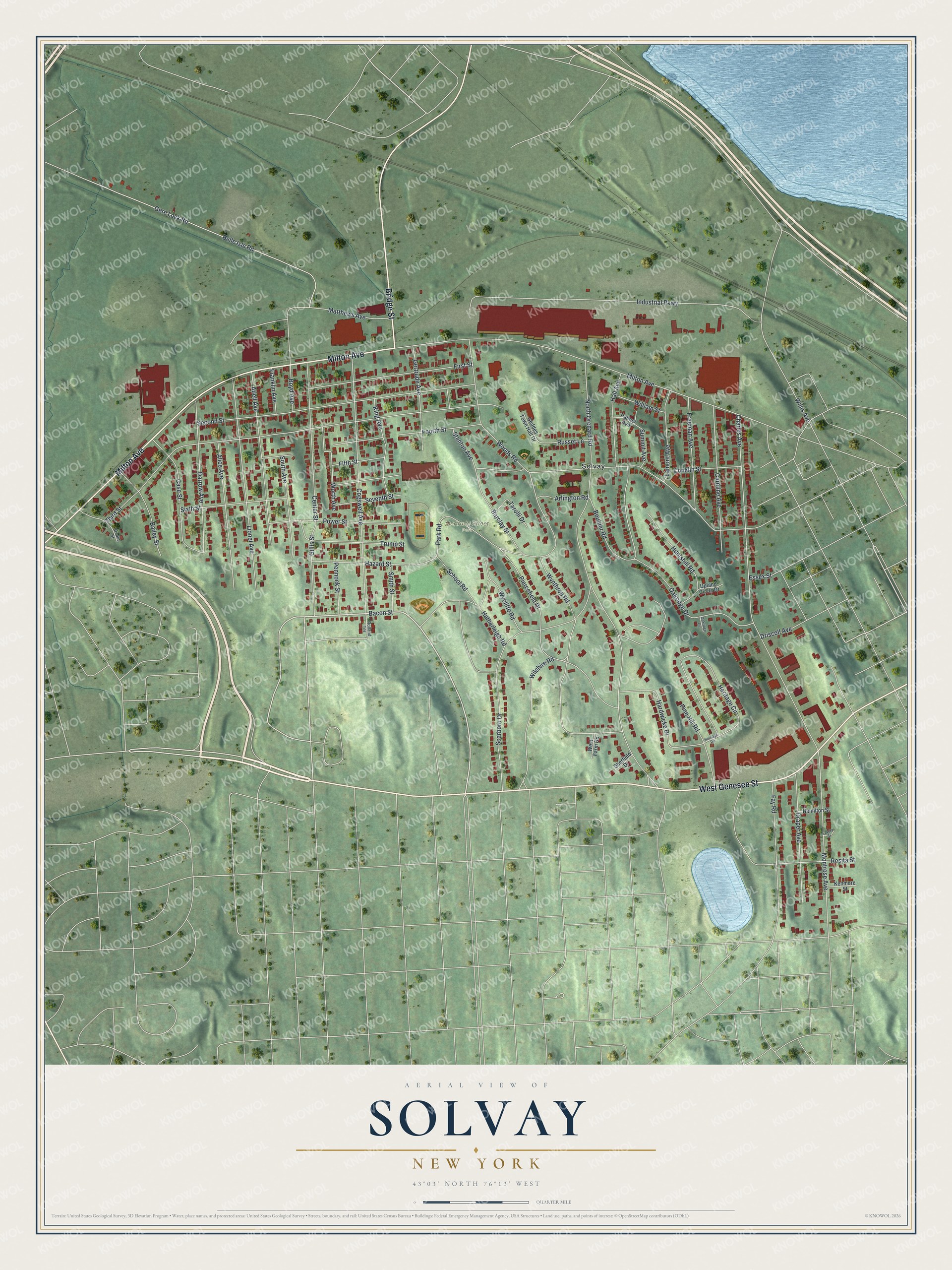
This beautifully detailed map of Solvay, New York was created in 2026 using aerial imagery combined with modern topographical, census, street and landmark data. It’s a one-of-a-kind view of Solvay that combines accurate data with a vintage aesthetic. The map shows every building in its true location, many of the roads carry their names, and the shaded topographic relief shows the shape of the land.
Explore an aerial view of Solvay, New York
On the map you’ll find Gertrude Street Park, along with Milton Avenue, Genesee Street, Bridge Street, Bacon Street, Orchard Road, and more. If you look closely you can even find your house accurately drawn in its correct location. Zoom in on the preview to look for yours.
Did You Know?
James Geddes founded the village in 1794 and called it Geddesburgh. In 1884 a soda ash plant opened here, and the village later took the name Solvay. The name honors the Solvay brothers, the Belgian inventors of that process. The plant closed in 1985.
Take a closer look at the Solvay map
Names on this map
These names are printed on this map.
Places: Gertrude Street Park and Solvay.
Streets and roads: Milton Avenue, West Genesee Street, Bridge Street, Bacon Street, North Orchard Road, Third Street, Woods Road, Charles Avenue, Industrial Parkway, Second Street, Belle Isle Road, Gere Lock Road.
More street names, A to Z
Abell Avenue, Alice Avenue, Arlington Road, Bailey Street, Barclay Street, Boulder Road, Boyd Avenue, Brooks Street, Caroline Avenue, Case Street, Center Street, Cogswell Avenue, Conklin Street, Darrow Avenue, Draper Avenue, Driscoll Avenue, Essex Street, Fay Road, Fifth Street, First Street, Fourth Street, Franklin Avenue, Freeman Avenue, Geddes Town Hall Drive, Gertrude Avenue, Gillis Street, Hall Avenue, Hamilton Street, Hardwicke Drive, Hatherleigh Road, Hazard Street, Heritage Circle, Heritage Road, Huntshill Road, Kenmore Street, King Avenue, Lamont Avenue, Laveta Street, Lionel Avenue, Matthews Avenue, Montrose Avenue, Oakridge Circle, Oakridge Drive, Palmer Avenue, Park Road, Pennock Street, Piercefield Drive, Pine Hill Road, Power Street, Rolland Terrace, Rosita Street, Russet Lane, Scarboro Drive, School Road, Seventh Street, Sherfield Drive, Sixth Street, Smith Street, South Avenue, Stanton Avenue, Summit Avenue, Tarolli Drive, Trump Street, Upland Circle Drive, West Farm Road, William Street, Willis Avenue, Wilshire Road, Worth Avenue, Wycliffe Road, Wynthrop Road.
See it on a wall
The Solvay map as a framed print. Swipe for more.


This beautifully detailed map of Solvay makes an attractive addition to your office, library, or den, and it can even be used to teach children the geography and history of the area. It also makes a great gift for someone who left Solvay and still calls it home. When you’re done exploring, click here to get your copy of the Solvay map.