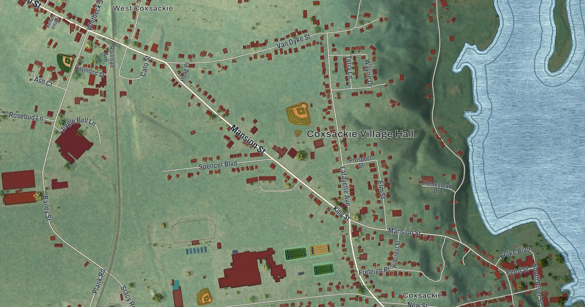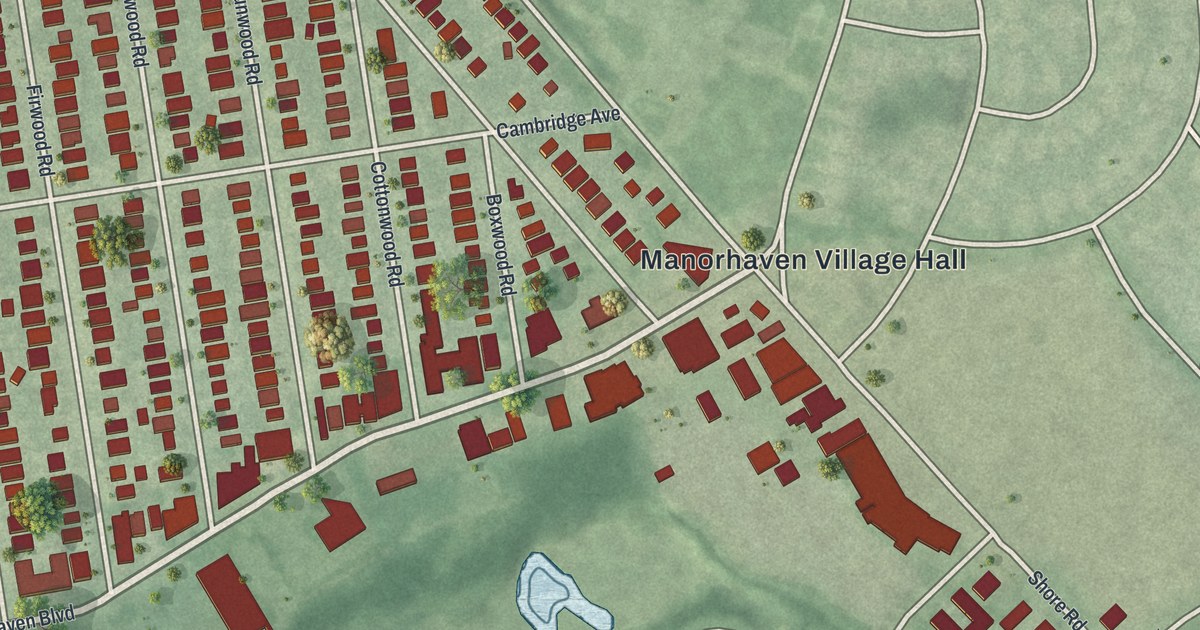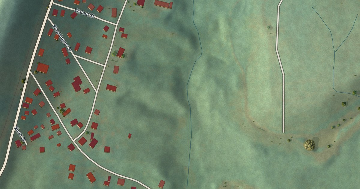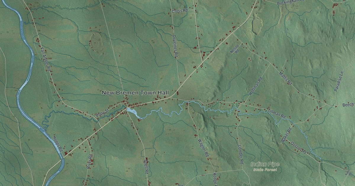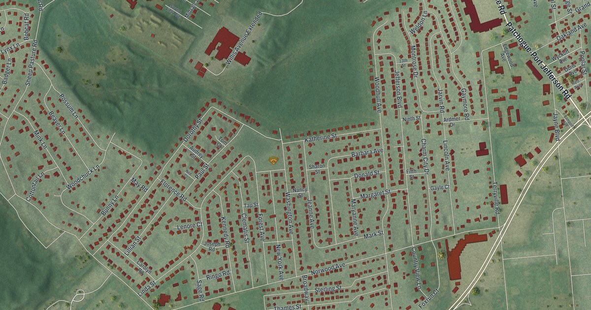
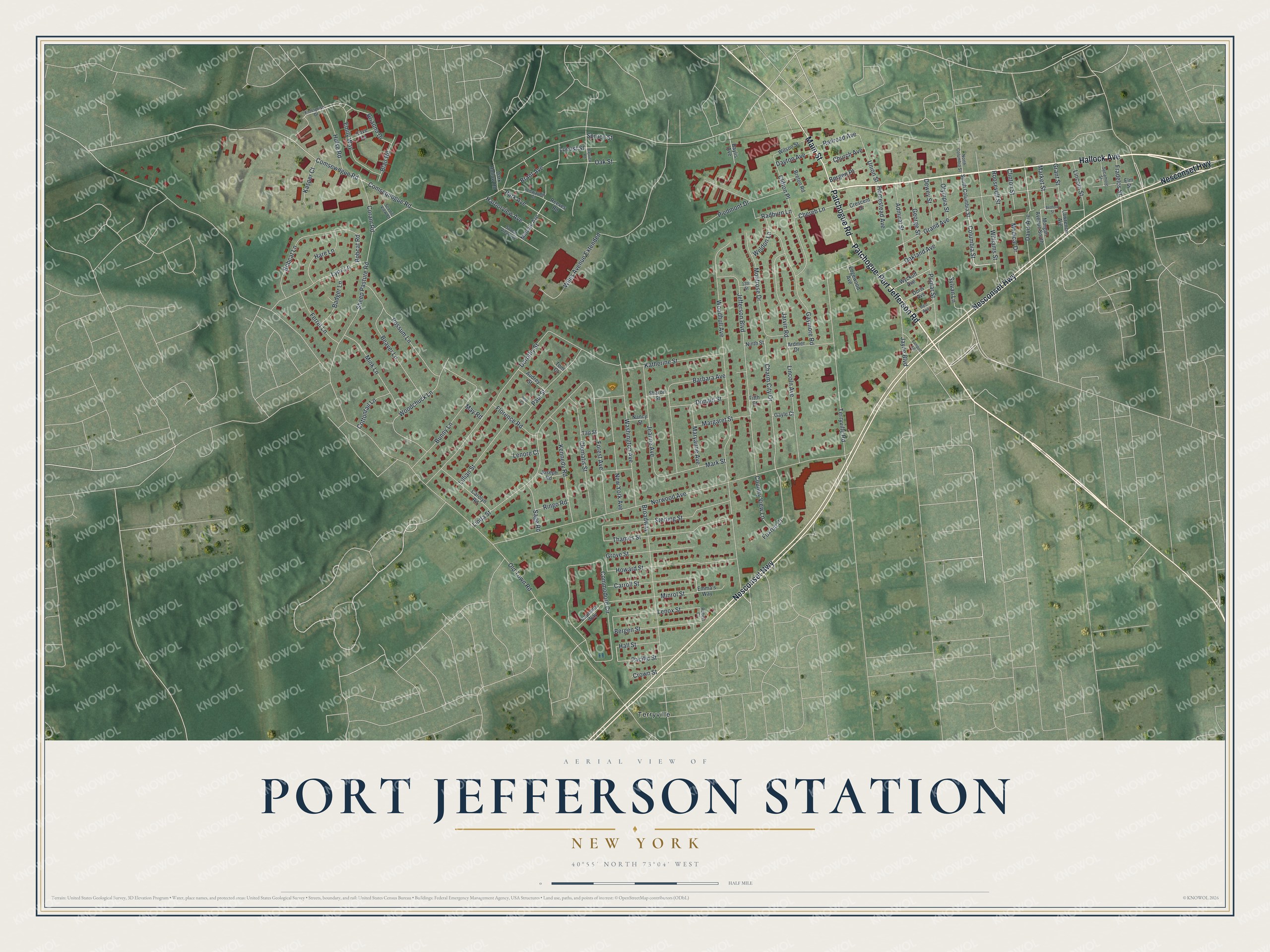
This beautifully detailed map of Port Jefferson Station, New York was created in 2026 using aerial imagery combined with modern topographical, census, street and landmark data. It's a modern aerial view of Port Jefferson Station in Suffolk County, New York, that combines modern data with a vintage aesthetic. The roads feature printed names, and if you look closely you can find your exact house accurately shown in its correct location.
Explore an aerial view of Port Jefferson Station, New York
On this map you'll find Terryville, Hallock Avenue, Patchogue Road, Patchogue-Port Jefferson Road, Nesconset Highway, Main Street, Davis Avenue, Columbia Street, Old Town Road, Sheep Pasture Road, Norwood Avenue, Woodhull Avenue, and more. Each red shape is a building, so zoom in on the preview and look for yours.
Here is a piece of Port Jefferson Station history. Port Jefferson Station was once called Comsewogue. When residents asked for a post office in 1888, postal officials said the name had to change, because so many New York places ended in ogue. William Wyckoff suggested Echo, the name of a famous racehorse owned by Nathaniel Dickerson of Comsewogue. Depot agent Charles Squires became the first postmaster. In 1910 he led the petition that renamed the Echo post office Port Jefferson Station, and he became known as the father of Port Jefferson Station. That's from the Port Times Record.
Port Jefferson Station is a community in Suffolk County. The Census Bureau counted 7,950 people here in 2020.
Take a closer look at the Port Jefferson Station map
Names on this map
These names are printed on this map.
Places: Terryville.
Streets and roads: Hallock Avenue, Patchogue Road, Patchogue-Port Jefferson Road, Nesconset Highway, Main Street, Davis Avenue, Columbia Street, Old Town Road, Sheep Pasture Road, Norwood Avenue, Woodhull Avenue, Willis Avenue Extended.
More street names, A to Z
13th Street, Admiral Street, Ardmer Drive, Audrey Street, Badger Lane, Barbara Avenue, Baylis Avenue, Bayview Road, Beaver Lane, Bedford Street, Bergen Place, Bergen Street, Blair Road, Bobcat Lane, Bobcat Road, Brant Avenue, Breton Road, Brianna Drive, Broadway, Bunny Lane, Captains Way, Carolyn Road, Carroll Street, Charm City Drive, Chereb Lane, Church Avenue, Clematis Street, Clifton Place, Clinton Street, Commodore Circle, Comsequogue Road, Comsewogue Road, Coram Road, Cottontail Lane, Country View Lane, Cove Lane, Crescent Drive, Crown Street, Dark Hollow Road, Dayton Avenue, Dewey Street, Donald Street, Doris Avenue, Dorothy Street, Edgewood Avenue, Elm Street, Emily Way, Emma's Way, Enterprise Drive, Ferret Lane, Fifth Street, Florence Road, Forest Avenue, Foxrun Court, Fradelos Street, Gayle Court, Gaymore Road, George Street, Grand Avenue, Grant Street, Grove Street, Hall Street, Harborview Avenue, Hare Lane, Homestead Avenue, Howard Street, Hulse Road, Jarvin Road, Jayne Boulevard, Jeanne Avenue, Jefferson Boulevard, Joseph Road, Kasper Court, Katherine Street, Keewaydin Court, Kennedy Road, Lamport Avenue, Lawrence Avenue, Lenore Court, Lenox Street, Lillian Street, Lincoln Avenue, Lincoln Street, Linda Street, Locust Street, Lynx Lane, Margaret Street, Market Street, Mark Street, Maryanne Avenue, May Road, Medical Drive, Midvale Avenue, Mink Lane, Minrol Street, Montrose Drive, Morgan Avenue South, Nancy Street, Ned Court, New York Avenue, Ninth Street, North Columbia Street, Oakland Avenue, Oak Street, Olympia Street, Pacific Street, Park Avenue, Paul Street, Piedmont Drive, Poplar Street, Possum Lane, Radburn Lane, Railroad Avenue, Reeves Road, Reo Avenue, Ringo Road, Robert Court, Roosevelt Street, Sage Road, Scenic View Court, Sharon Street, Sound View Avenue, South Columbia Street, Spruce Street, Sterling Street, Sycamore Street, Sylvan Lane, Tap Street, Terryville Road, Thames Street, Tom Court, Union Street, Washington Avenue, Weldon Lane, Williams Street, Wilson Street, Woodchuck Lane, Wyckoff Avenue.
See it on a wall
The Port Jefferson Station map as a framed print. Swipe for more.


Created by KNOWOL in 2026. The buildings are small red shapes, the roads carry their printed names, and shaded relief shows the shape of the land. The title panel reads "AERIAL VIEW OF PORT JEFFERSON STATION, NEW YORK" with 40°55' NORTH 73°04' WEST.
It suits a den, a classroom or a front hall, and it makes a gift for anyone with Port Jefferson Station roots. Open the preview and find the block you know. See sizes and frames for the Port Jefferson Station map.