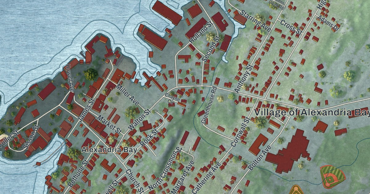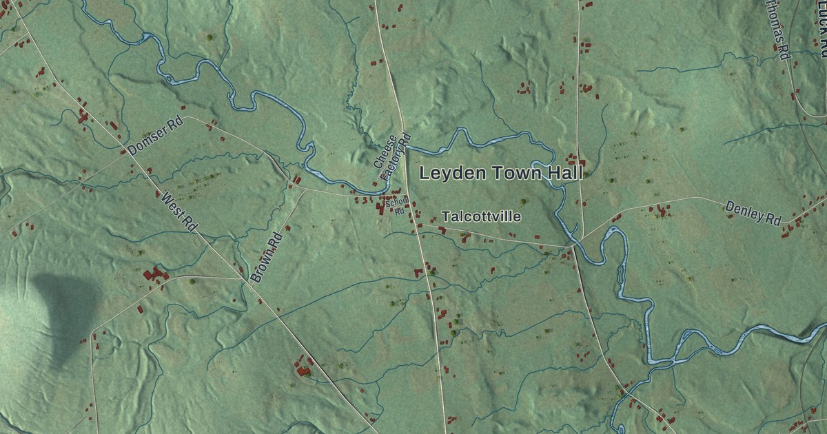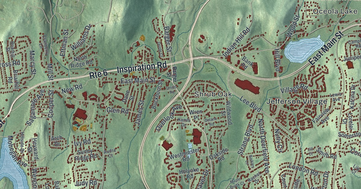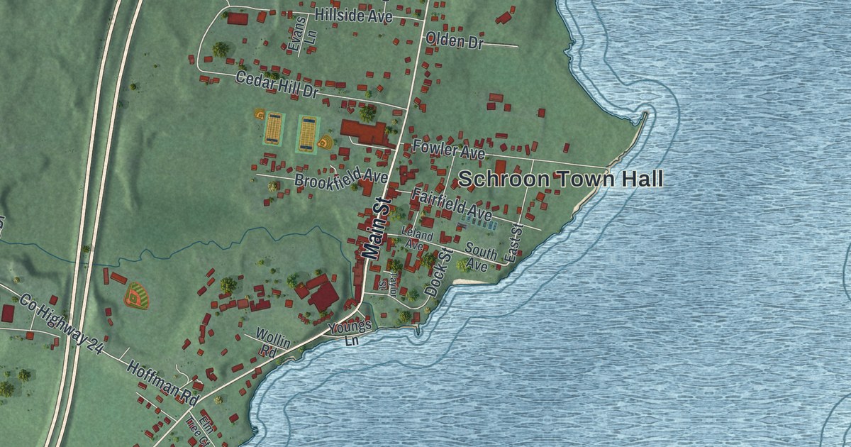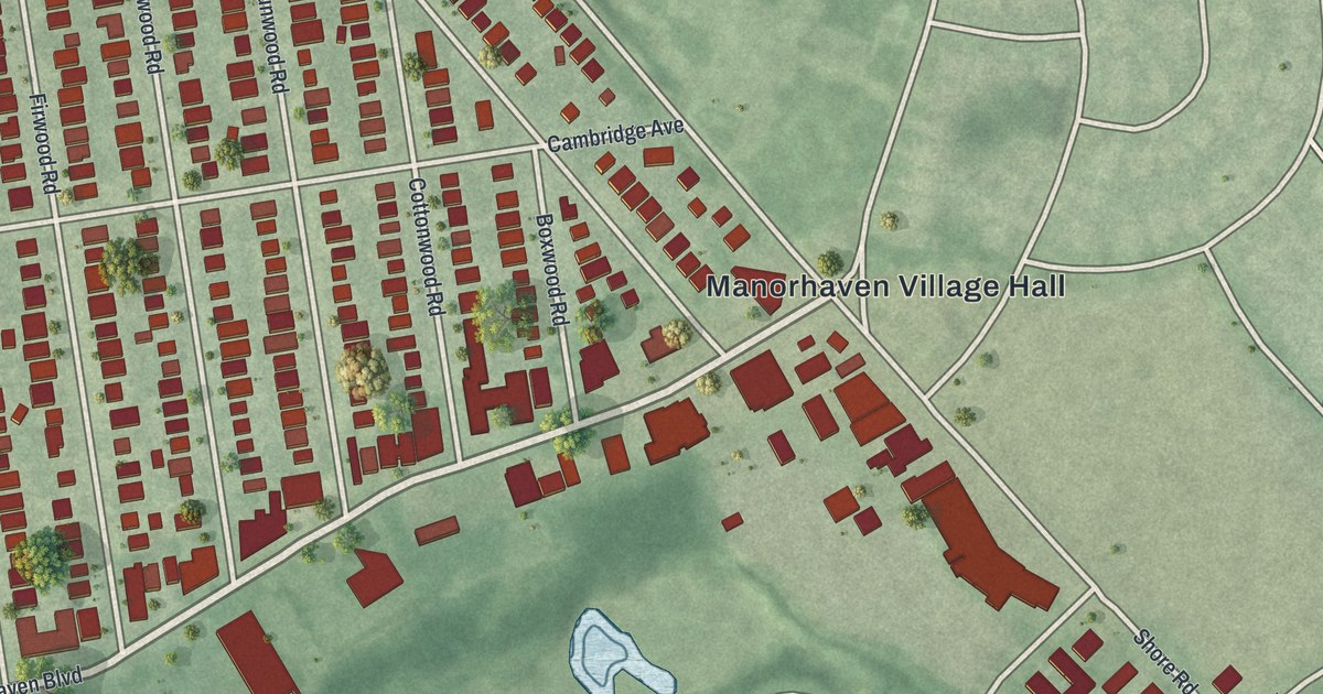
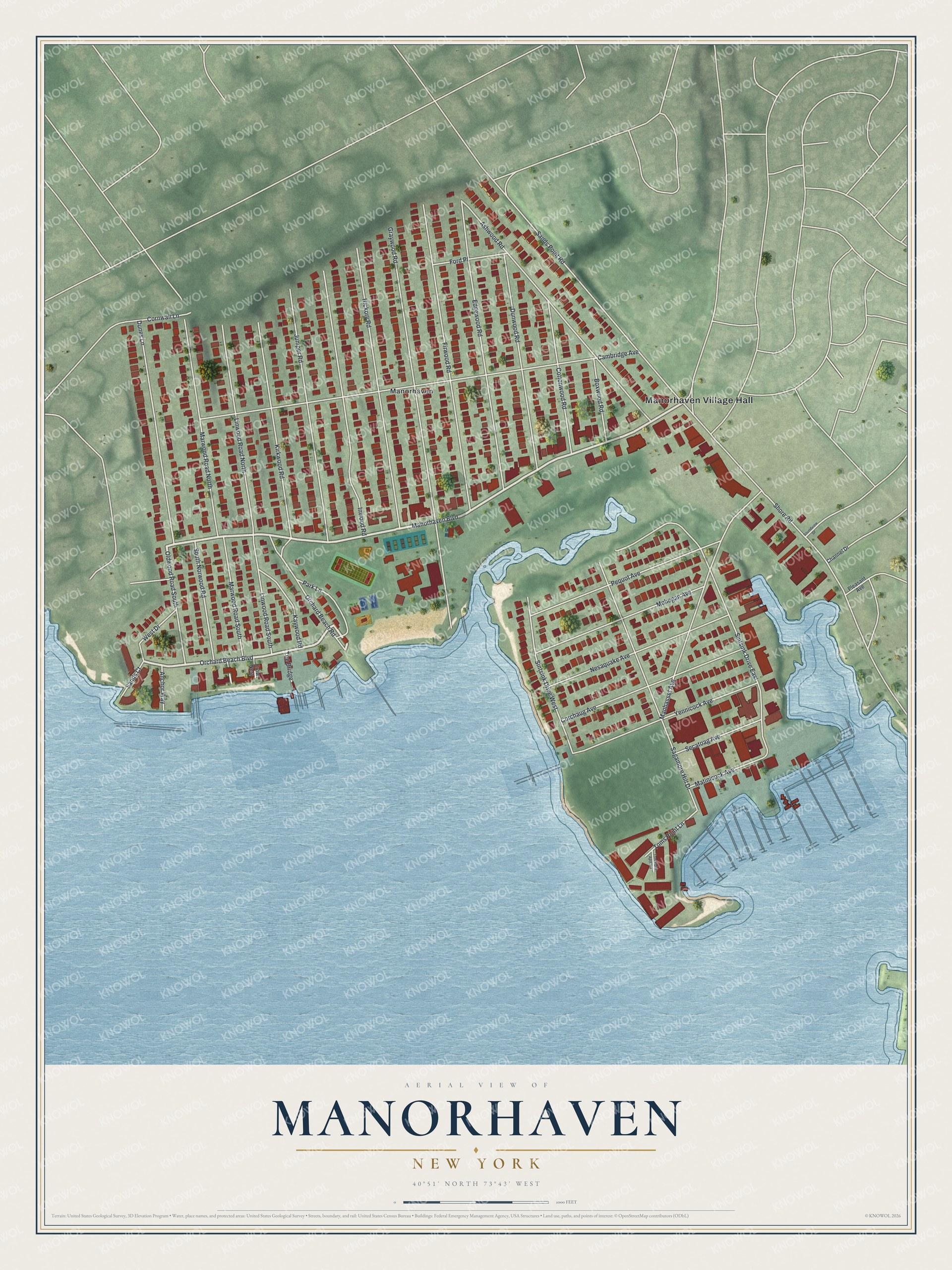
This beautifully detailed map of Manorhaven, New York was created in 2026 using aerial imagery combined with modern topographical, census, street and landmark data. It’s a one-of-a-kind view of Manorhaven that combines accurate data with a vintage aesthetic. The map shows every building in its true location, many of the roads carry their names, and the shaded topographic relief shows the shape of the land.
Explore an aerial view of Manorhaven, New York
On the map you’ll find Manorhaven Village Hall, along with Manorhaven Boulevard, Orchard Beach Boulevard, Cambridge Avenue, Sintsink Drive, and more. If you look closely you can even find your house accurately drawn in its correct location. Zoom in on the preview to look for yours.
Did You Know?
In 1939 and 1940, Pan American World Airways based its Boeing 314 flights across the Atlantic at Manhasset Bay. The hangars and terminal stood at Toms Point on Manhasset Isle in Manorhaven. Grumman used the base after the Marine Air Terminal at LaGuardia opened. A seaplane base still works there.
Take a closer look at the Manorhaven map
Names on this map
These names are printed on this map.
Places: Manorhaven Village Hall and Manorhaven.
Streets and roads: Manorhaven Boulevard, Orchard Beach Boulevard, Cambridge Avenue, Sintsink Drive East, Firwood Road, Sands Point Road, Graywood Road, Edgewood Road, Ashwood Road, Hickory Road, Inwood Road, Sagamore Hill Drive.
More street names, A to Z
Anchor Way, Boxwood Road, Channel Drive, Corchaug Avenue, Cornwall Lane, Cottonwood Road, Crow Nest, Dunes Lane, Dunwood Road, Ford Place, Juniper Road, Kaywood Road, Kirkwood Road, Linwood Road North, Linwood Road South, Manhasset Avenue, Marwood Road North, Marwood Road South, Matinicock Avenue, Mohegan Avenue, Nesaquake Avenue, Oldwood Road South, Orchard Beach Road, Park Lane, Pequot Avenue, Pleasant Avenue, Sands Court, Secatoag Avenue, Shore Road, Sintsink Drive West, Soundview Drive, South Norwood Road, The Bridge, Tom Point Apts Road, Toms Point Lane, West Drive, Yennicock Avenue.
See it on a wall
The Manorhaven map as a framed print. Swipe for more.


This beautifully detailed map of Manorhaven makes an attractive addition to your office, library, or den, and it can even be used to teach children the geography and history of the area. It also makes a great gift for someone who left Manorhaven and still calls it home. When you’re done exploring, click here to get your copy of the Manorhaven map.