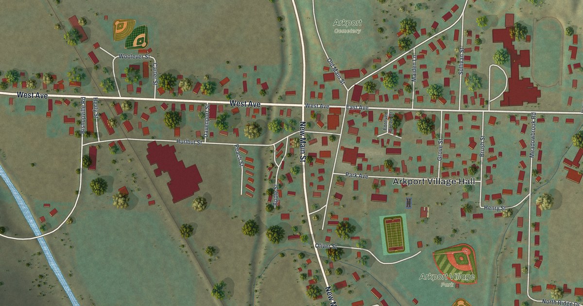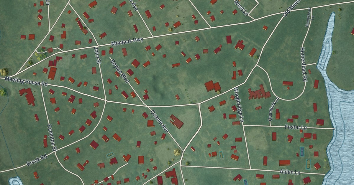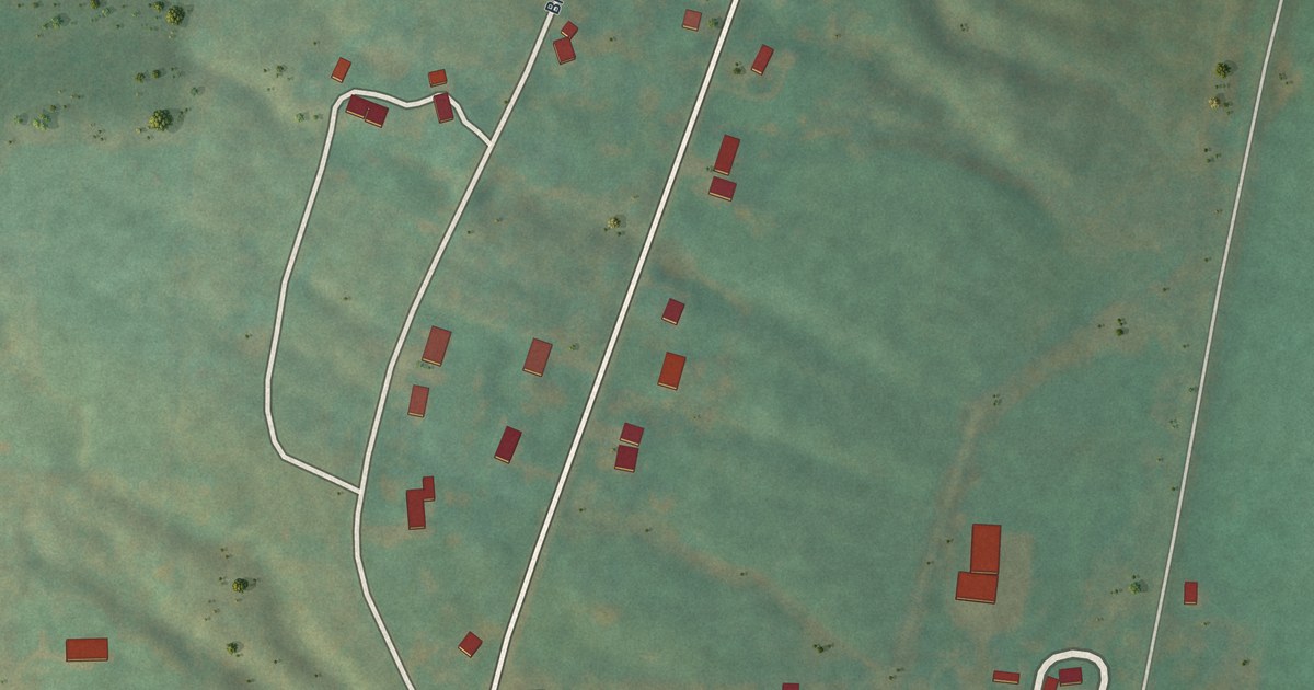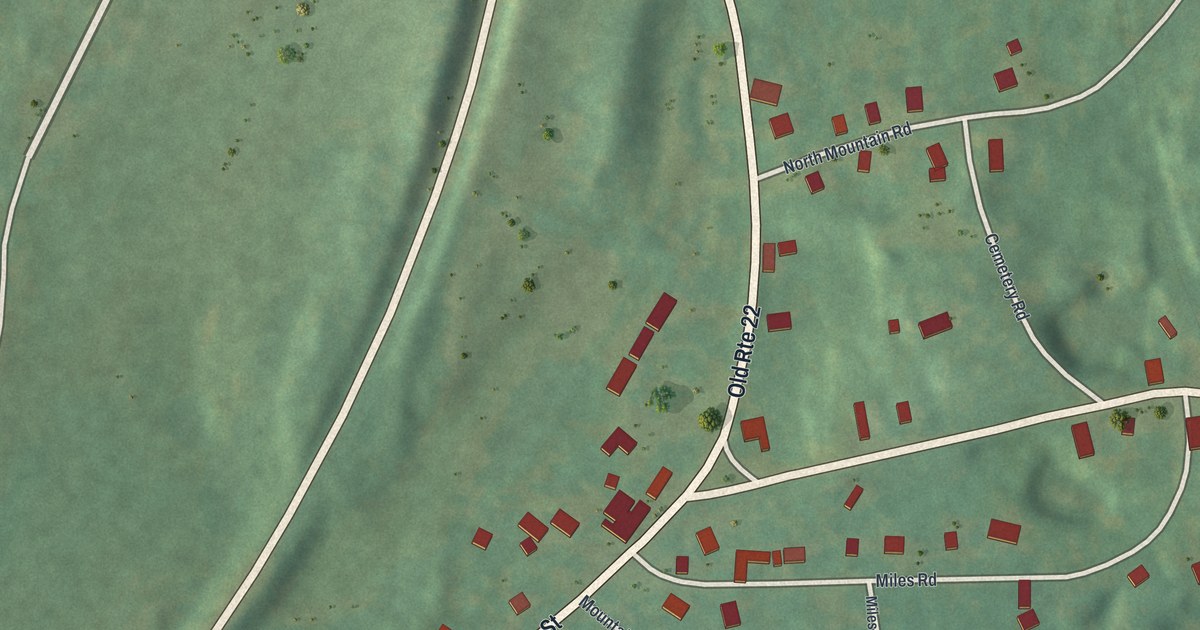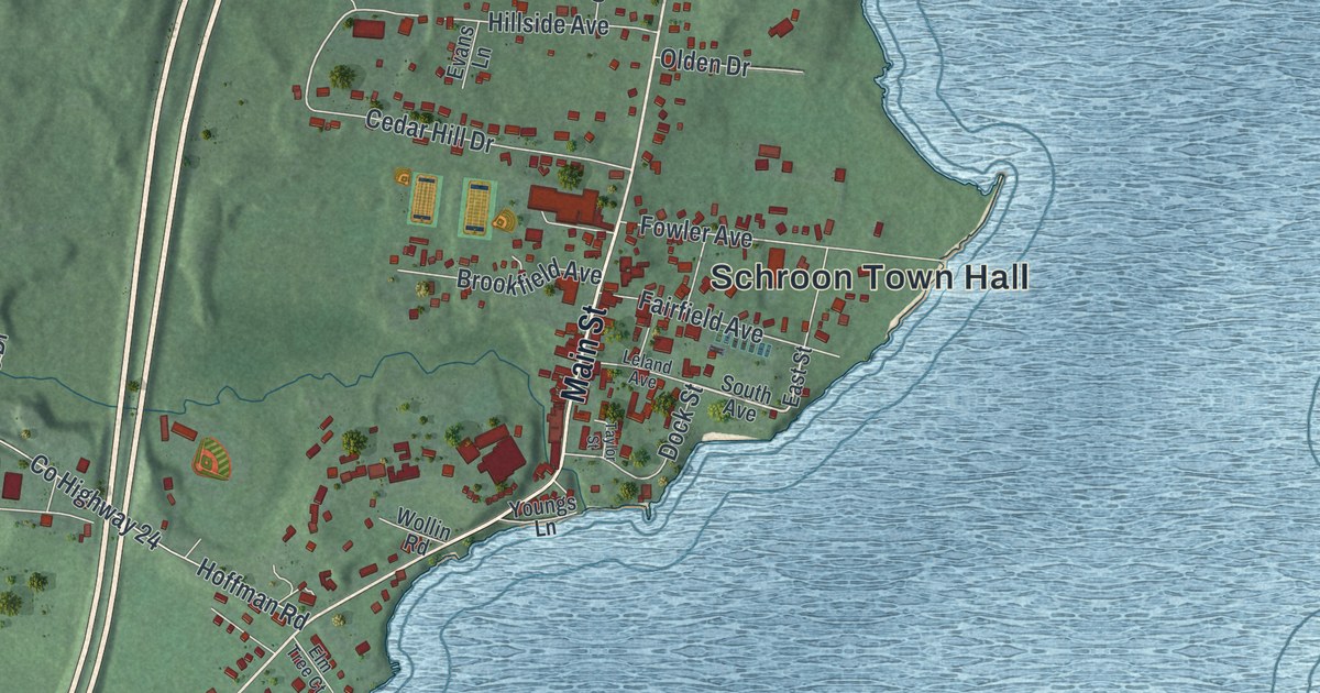
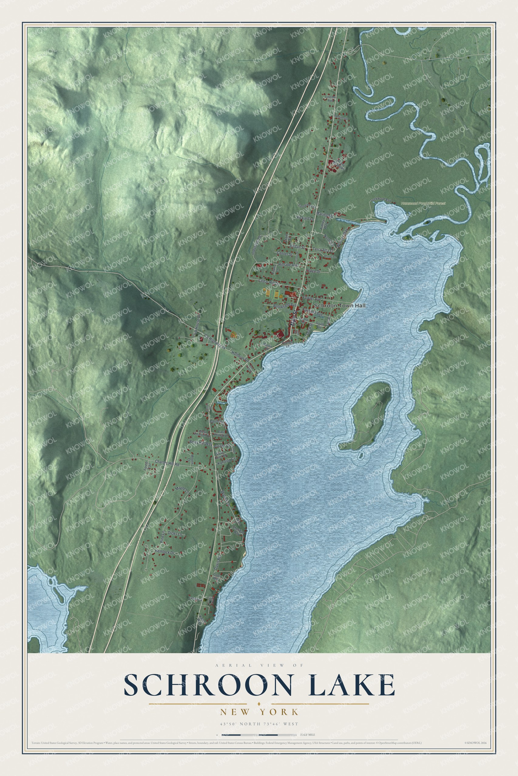
This beautifully detailed map of Schroon Lake, New York was created in 2026 using aerial imagery combined with modern topographical, census, street and landmark data. It’s a one-of-a-kind view of Schroon Lake that combines accurate data with a vintage aesthetic. The map shows every building in its true location, many of the roads carry their names, and the shaded topographic relief shows the shape of the land.
Explore an aerial view of Schroon Lake, New York
On the map you’ll find Schroon Town Hall and Hammond Pond Wild Forest, along with Main Street, Terra Alta Court, Jordan Street, North Lane, and more. If you look closely you can even find your house accurately drawn in its correct location. Zoom in on the preview to look for yours.
Did You Know?
In the late 1800s, wealthy families from the New York area made the village of Schroon a summer destination. They rode a train to Riverside, a stagecoach to Pottersville, then a steamer up the lake. By 1915, automobiles brought city crowds, and grand resorts made Schroon Lake a premier vacation spot.
Take a closer look at the Schroon Lake map
Names on this map
These names are printed on this map.
Places: Schroon Town Hall, Hammond Pond Wild Forest and Slaterpryce Park.
Streets and roads: Main Street, Terra Alta Court, Jordan Street, North Lane, Industrial Drive, Skylark Lane, Charley Hill Road, Pine Lane, County Highway 24, Hoffman Road, Davis Road, Hemlock Drive.
More street names, A to Z
Aubrey Way, Berry Hill Way, Bohrmann Lane, Breezy Meadows, Brookfield Avenue, Burzee Drive, Cedar Hill Drive, Center Street, Chain Street, Club House Drive, Coles Way, Continental Drive, Cornell Street, Cross Street, Dicks Lane, Dock Street, East Pharoh Drive, East Street, Elm Tree Court, Evans Lane, Fairfield Avenue, Forest Trail, Fowler Avenue, Francis Road, Grove Point Road, Hillside Avenue, Kanasta Cv, Kates Way, Lakeview, Leland Avenue, Lincoln Avenue, Lockwood Bay, Maple Lane, Marina Road, Moose Court, Olden Drive, Phoenix Tree Court, Pickard Lane, Sheridan Way, South Avenue, Spruce Lane, Taylor Street, West Pharoah Drive, Whitney Avenue, Wollin Road, Wolters Way, Youngs Lane.
See it on a wall
The Schroon Lake map as a framed print. Swipe for more.


This beautifully detailed map of Schroon Lake makes an attractive addition to your office, library, or den, and it can even be used to teach children the geography and history of the area. It also makes a great gift for someone who left Schroon Lake and still calls it home. When you’re done exploring, click here to get your copy of the Schroon Lake map.