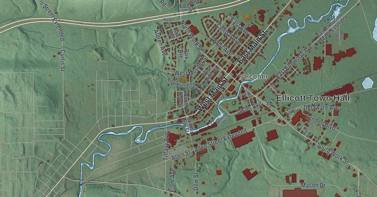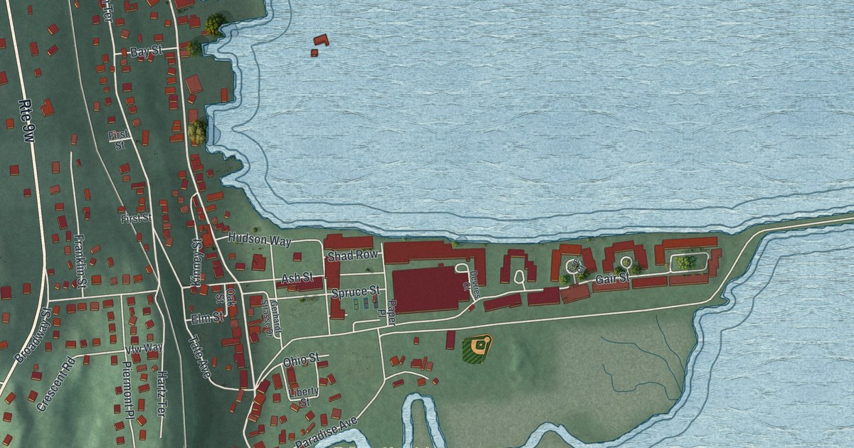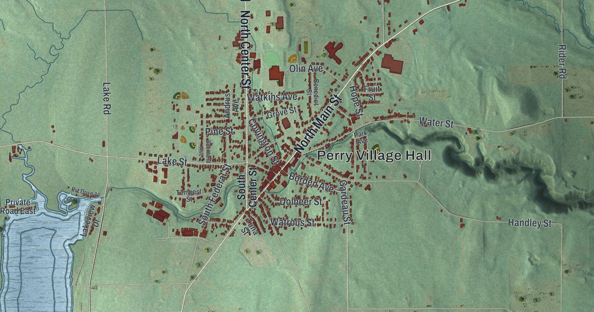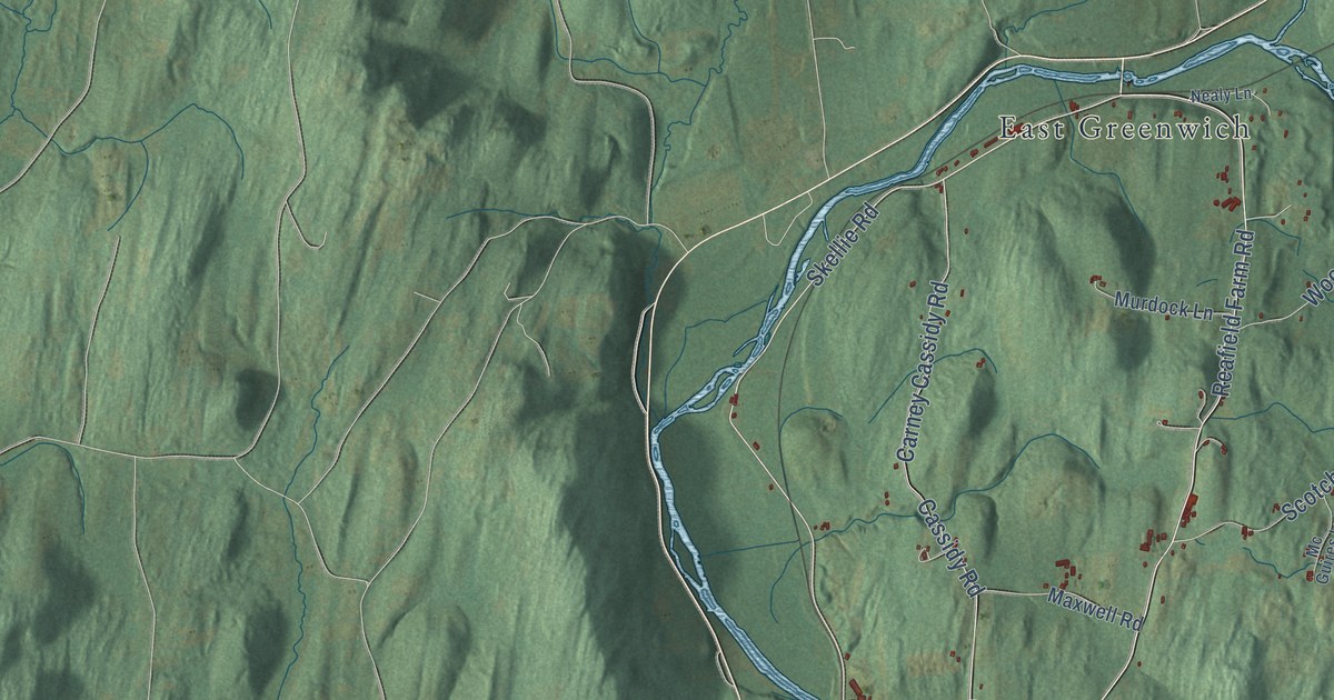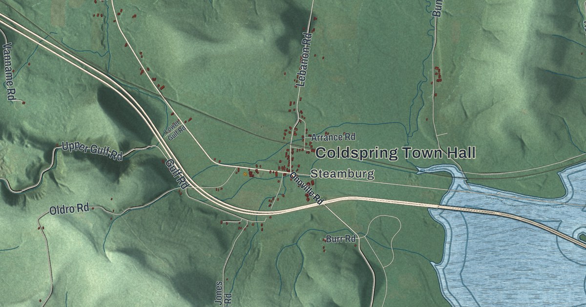
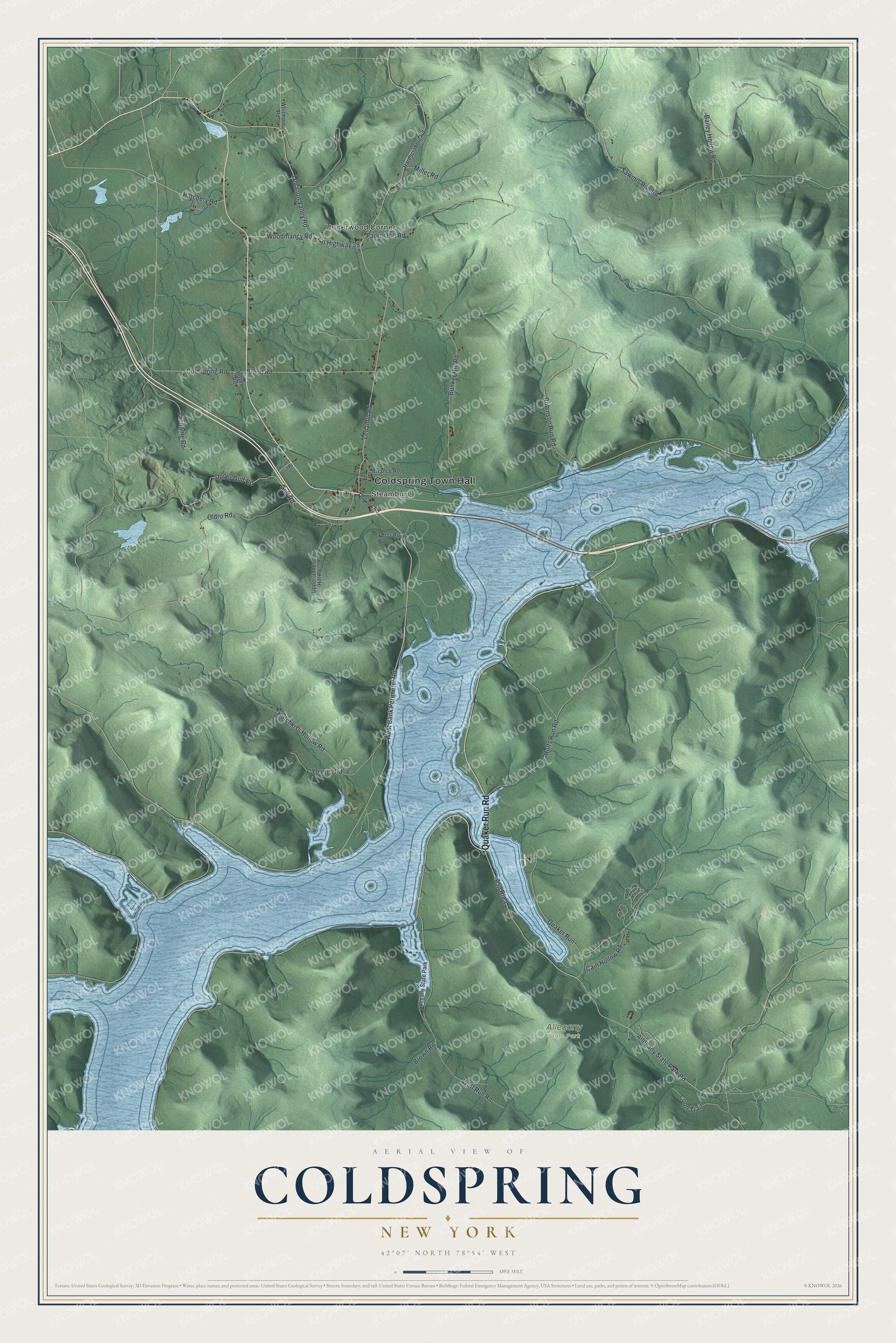
This beautifully detailed map of Coldspring, New York was created in 2026 using aerial imagery combined with modern topographical, census, street and landmark data. It’s a one-of-a-kind view of Coldspring that combines accurate data with a vintage aesthetic. The map shows every building in its true location, many of the roads carry their names, and the shaded topographic relief shows the shape of the land.
Explore an aerial view of Coldspring, New York
On the map you’ll find Coldspring Town Hall, Underwood Corner, Steamburg, and Allegany State Park, along with Quaker Run Road, Onoville Road, Bank Perimeter Road, Cain Hollow Road, and more. If you look closely you can even find your house accurately drawn in its correct location. Zoom in on the preview to look for yours.
Did You Know?
In 1965, Coldspring voted 45 to 0 to take in the former town of Elko. Elko had been flooded by the Allegheny Reservoir and dissolved. Quakers first settled Elko in 1798 as missionaries, invited by the Seneca diplomat Cornplanter. Today that land forms the south part of Coldspring.
Take a closer look at the Coldspring map
Names on this map
These names are printed on this map.
Places: Coldspring Town Hall, Underwood Corner, Steamburg and Allegany State Park.
Streets and roads: Quaker Run Road, West Bank Perimeter Road, Cain Hollow Road, Lebanon Road, Lebanon Valley Road, County Highway 39, Coldspring Road, Hatchery Road, Asp Route 1, Coon Trail, Gulf Road, Allegany State Park Road.
More street names, A to Z
Arrance Road, Bailey Hollow Road, Blood Road, Boyer Road, Brown Road, Bunker Hill Road, Burr Road, Hardscrabble Road, Holts Run Road, Hotchkiss Hollow Road, Lower Gulf Road, Miller Road, Oldro Road, Onoville Road, Parker Hill Road, Quaker Run, Robinson Run Road, Sawmill Run Road, Upper Gulf Road, Upper Jones Hill Road, Vanname Road, Whitmore Road, Wolf Run Road, Woodmancy Road, Youngs Road.
See it on a wall
The Coldspring map as a framed print. Swipe for more.


This beautifully detailed map of Coldspring makes an attractive addition to your office, library, or den, and it can even be used to teach children the geography and history of the area. It also makes a great gift for someone who left Coldspring and still calls it home. When you’re done exploring, click here to get your copy of the Coldspring map.