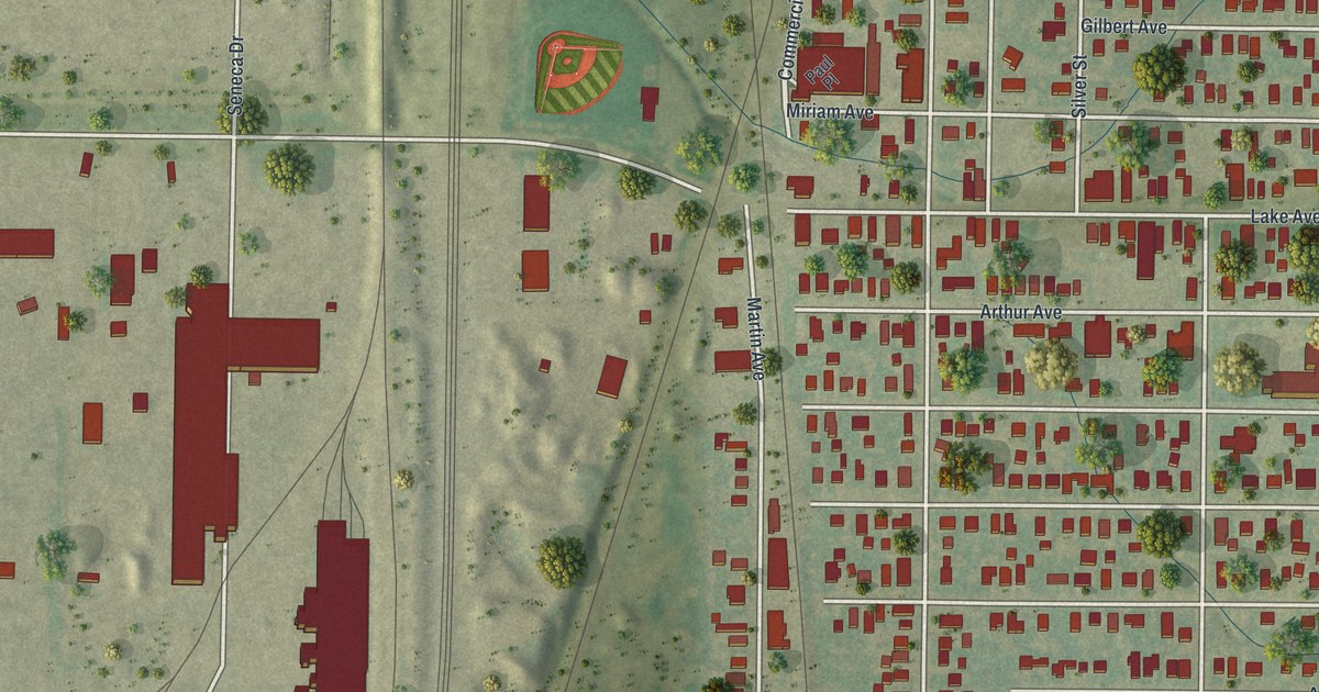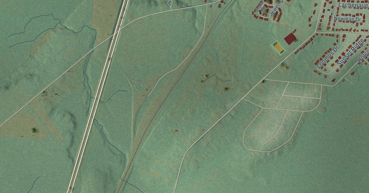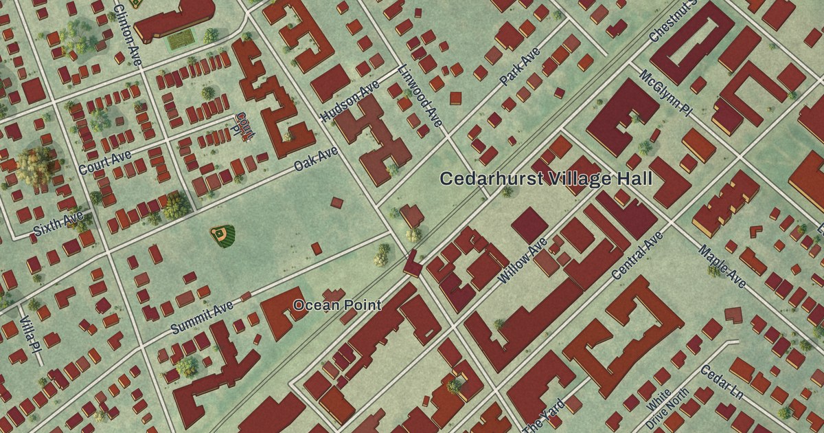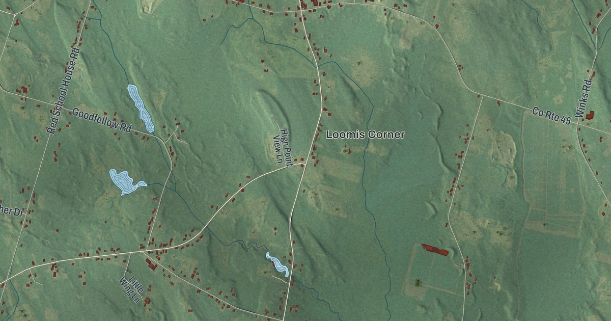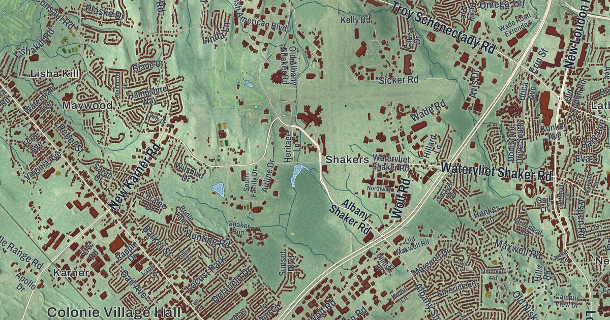
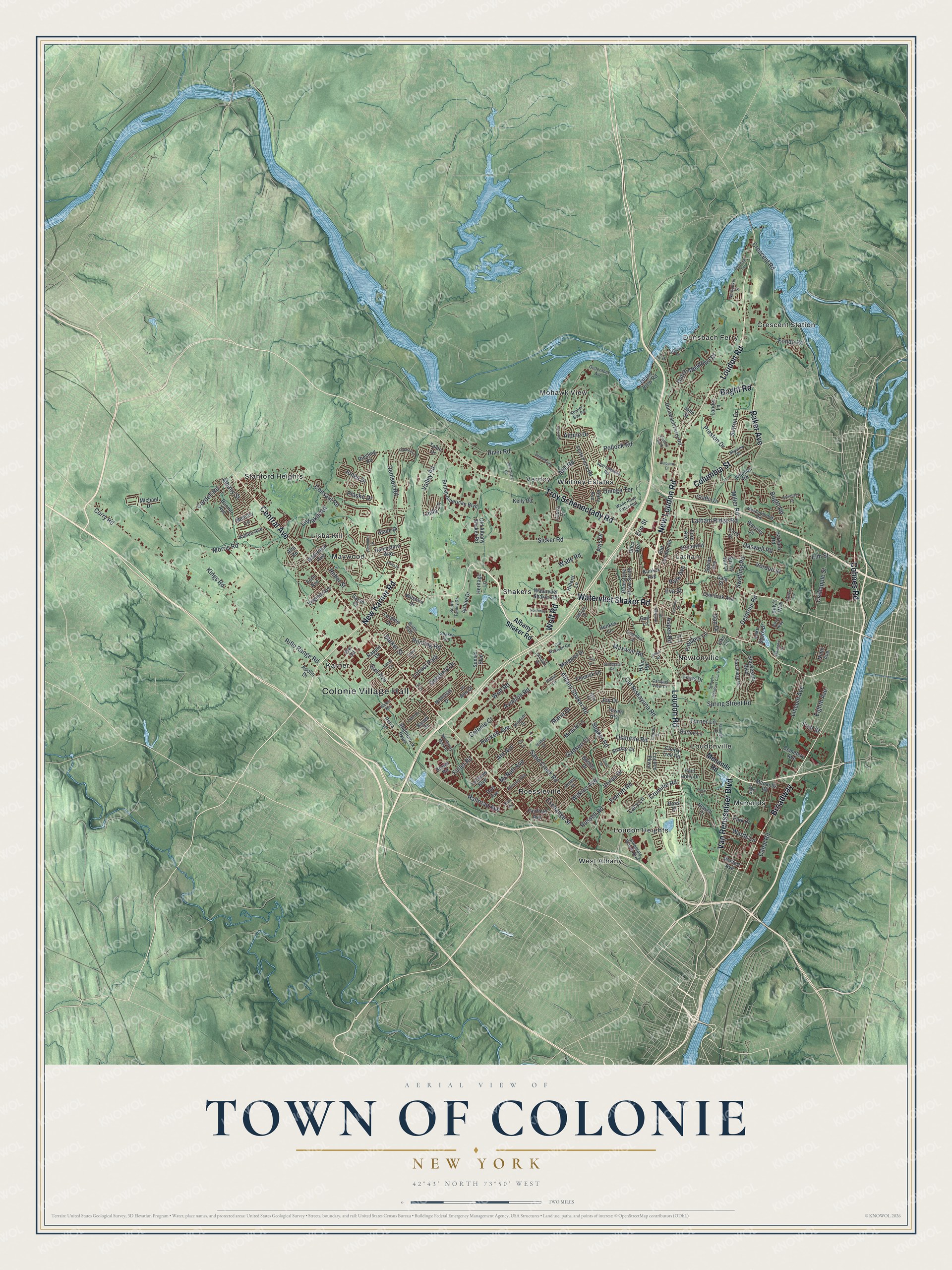
This beautifully detailed map of the Town of Colonie, New York was created in 2026 using aerial imagery combined with modern topographical, census, street and landmark data. It’s a one-of-a-kind view of the Town of Colonie that combines accurate data with a vintage aesthetic. The map shows every building in its true location, many of the roads carry their names, and the shaded topographic relief shows the shape of the land.
Explore an aerial view of the Town of Colonie, New York
On the map you’ll find Colonie Village Hall, Crescent Station, Dunsbach Ferry, Karner, Latham, and Lisha Kill, along with Loudon Road, Central Avenue, Troy Schenectady Road, Watervliet Shaker Road, and more. If you look closely you can even find your house accurately drawn in its correct location. Zoom in on the preview to look for yours.
Did You Know?
Colonie was formed in 1895 when rural residents of Watervliet opposed a state plan to turn the whole town into a city. The name comes from the Dutch word Colonye. In early days, people called all land beyond the village of Beverwyck, now Albany, the Colonie.
Take a closer look at the Town of Colonie map
Names on this map
These names are printed on this map.
Places: Colonie Village Hall, Crescent Station, Dunsbach Ferry, Karner, Latham, Lisha Kill, Loudon Heights, Loudonville, Maywood, Menands, Mohawk View, Newtonville, Roessleville, Shakers, Stanford Heights, Verdoy, West Albany, Whitney Estates and Locust Park.
Streets and roads: Loudon Road, Central Avenue, Troy Schenectady Road, Watervliet Shaker Road, New Loudon Road, Broadway, New Karner Road, Wolf Road, Baker Avenue, Boght Road, Columbia Street, Van Rensselaer Boulevard.
More street names, A to Z
Ahl Avenue, Airline Drive, Albany Shaker Road, Albany Street, Alix Street, Alpine Drive, Alta Road, Amboy Drive, Apollo Drive, Arthur Road, Aspen Road, Autopark Drive, Aviation Road, Avis Drive, Barker Street, Bauer Drive, Beryl Way, Billy's Way, Bonner Avenue, Bosher Drive, Bridle Path, British American Boulevard, Brown Road, Buhrmaster Road, Burton Lane, Campus View Drive, Canal Road, Caroline Street, Cemetery Avenue, Century Hill Drive, Cherry Tree Road, Chris Drive, Cohoes Road, Colonie Court, Consaul Road, Cord Drive, Cordell Road, Corporate Woods Boulevard, Crabapple Street, Crescent Road, Crescent Terrace, Crumitie Road, Curry Road, Dale Street, Dan Drive, Delafield Drive, Delatour Road, Denison Road, Doorstone Drive South, Dott Avenue, Dunsbach Ferry Road, Dutch Meadows Drive, Dyke Road, Eastern Avenue, East Ridge Road, Eighth Avenue, Elks Lane, Elm Street, Emerick Lane, Erin Street, Ethel Drive, Eva Street, Everett Road, Exchange Street, Fairfield Avenue, Fern Avenue, Fiddlers Lane, First Street, Fonda Road, Ford Avenue, Forts Ferry Road, Friars Drive, Fuller Road, Fuller Terrace, Gadsen Court, Gail Avenue, Gail Lane, Glade Drive, Glenmore Drive, Graffin Drive, Greenleaf Drive, Hackett Avenue, Hampshire Way, Harvard Road, Haswell Road, Henkes Lane, Heritage Lane, Hillard Lane, Hills Road, Hoffman Drive, Howansky Drive, Hunting Road, Iris Lane, Isabel Court, Island View Road, Jo Ann Court, Johnson Road, John Street, Jones Drive, Joy Drive, June Drive, Kallen Avenue, Kelly Road, Kings Road, Knauf Lane, Kraft Avenue, Kunker Avenue, Lacy Lane, Lake Shore Drive, Lanci Lane, Landor Lane, Latham Ridge Road, Laura Drive, Laurel Drive, Lincoln Avenue, Linda Lane, Lishakill Road, Lockrow Boulevard, Lois Lane, Loralee Drive, Lori Lane, Loudon Parkway, Lynn Drive, Mahogany Drive, Margaret Drive, Maria Drive, Maxwell Road, McNutt Avenue, Meadowbrook Road, Memory Lane, Menands Road, Michael Drive, Miller Road, Mill Road, Miracle Lane, Morris Road, Nantucket Street, Newell Court, Nicholas Drive, Ninth Avenue, Northway Lane, Northway Mall Road, Oaktree Lane, Old Albany Shaker Road, Old Loudon Road, Old Maxwell Road, Old Niskayuna Road, Omega Terrace, Onderdonk Avenue, Osborne Road, Overlook Avenue, Park Avenue, Park Drive, Paul Holly Drive, Perry Avenue, Petra Lane, Plaske Drive, Pollock Road, Preston Drive, Railroad Avenue, Rapple Drive, Reber Street, Riesling Road, Rifle Range Road, River Road, Rooney Avenue, Ross Court, Ruso Drive, Russell Road, Sage Court, Sand Creek Road, Sarah Court, Schaffer Drive, Schuyler Meadows Club Road, Schuyler Road, Shaker Bay Road, Shaker Drive, Shaker Road, Shaker Run, Shambrook Parkway, Sicker Road, Skyview Drive, South Family Drive, Southgate Road, Sparrowbush Road, Spring Street Road, Stuyvesant Boulevard, Sunset Boulevard, Surrey Hill Drive, Sutton Drive, Swatling Road, Swayze Drive, Sylvan Avenue, Talon Drive, Tower Heights, Tull Drive, Turner Lane, Ulenski Drive, Utica Avenue, Valley Road, Vandenburg Lane, Venus Drive, Verdun Street, Vfw Road, Virginia Avenue, Wade Road, Wade Road Extended, Walker Way, Wards Lane, Waterman Avenue, Waverly Circle, Wilkins Avenue, Wilshire Drive, Windsor Drive, Wolfert Avenue.
See it on a wall
The Colonie map as a framed print. Swipe for more.


This beautifully detailed map of the Town of Colonie makes an attractive addition to your office, library, or den, and it can even be used to teach children the geography and history of the area. It also makes a great gift for anyone who grew up in the Town of Colonie or moved away. When you’re done exploring, click here to get your copy of the Town of Colonie map.