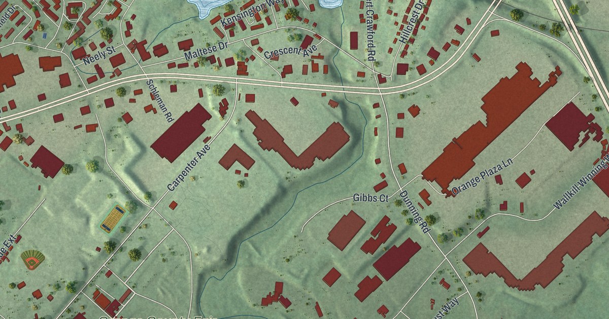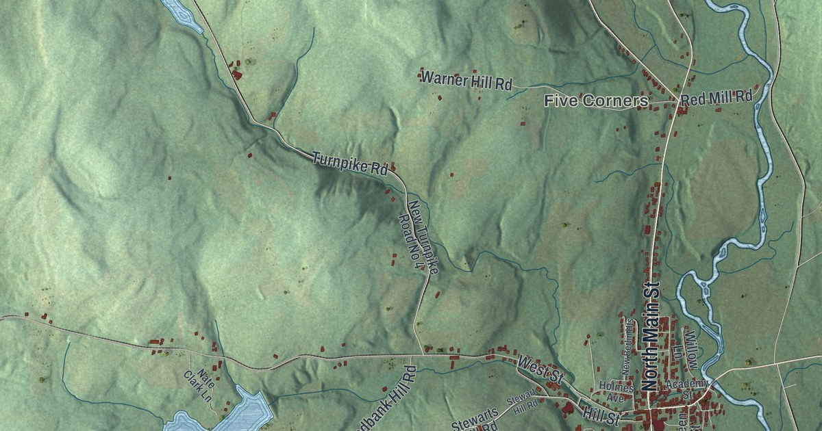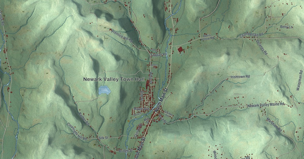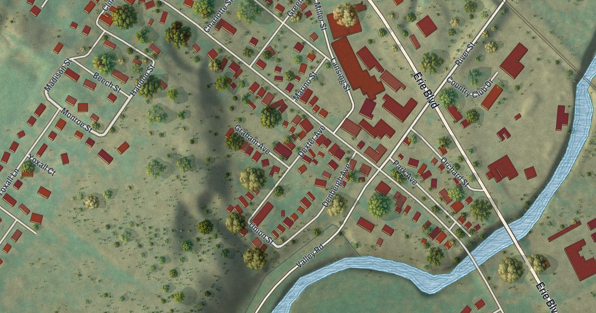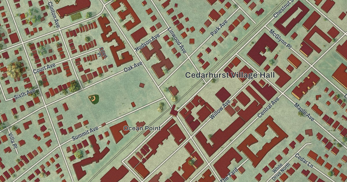
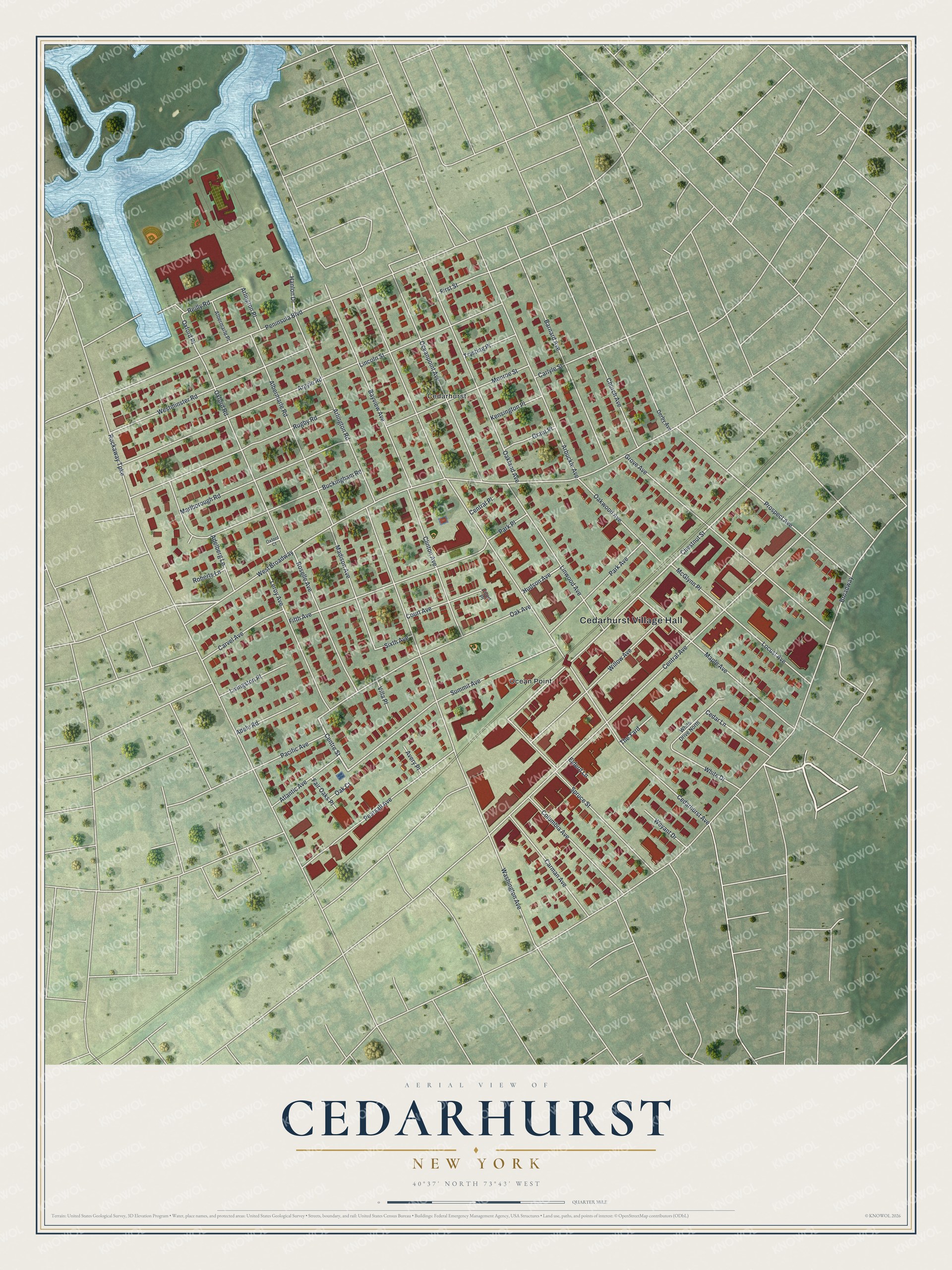
This beautifully detailed map of Cedarhurst, New York was created in 2026 using aerial imagery combined with modern topographical, census, street and landmark data. It’s a one-of-a-kind view of Cedarhurst that combines accurate data with a vintage aesthetic. The map shows every building in its true location, many of the roads carry their names, and the shaded topographic relief shows the shape of the land.
Explore an aerial view of Cedarhurst, New York
On the map you’ll find Cedarhurst Village Hall, West Broadway, and Ocean Point, along with Centre Street, Chestnut Street, Cedarhurst Avenue, and more. If you look closely you can even find your house accurately drawn in its correct location. Zoom in on the preview to look for yours.
Did You Know?
Cedarhurst was first called Ocean Point. Rail service arrived in 1869, and the Rockaway Hunting Club opened there in 1878. When a post office came in 1884, the place was renamed Cedarhurst, partly at the club’s request. The name recalls a grove of trees that used to stand by the post office.
Take a closer look at the Cedarhurst map
Names on this map
These names are printed on this map.
Places: Cedarhurst Village Hall, Cedarhurst and Ocean Point.
Streets and roads: West Broadway, Centre Street, Chestnut Street, Cedarhurst Avenue, Rockaway Turnpike, Broadway, Washington Avenue, Central Avenue, Peninsula Boulevard, Grove Avenue, Oakland Avenue, Buckingham Road.
More street names, A to Z
Adelberg Lane, Adele Road, Albermarle Place, Albermarle Road, Arbuckle Avenue, Argyle Road, Arlington Place, Arlington Road, Atlantic Avenue, Avery Place, Barnard Avenue, Bayview Avenue, Carlyle Street, Carman Avenue, Carvel Avenue, Cedar Lane, Central Place, Church Avenue, Clinton Avenue, Columbia Avenue, Court Avenue, Court Place, Derby Avenue, Elderd Lane, Fair Oaks Place, Fifth Avenue, First Street, Grant Place, Hanlon Drive, Hudson Avenue, Kensington Place, Leroy Avenue, Lincoln Street, Linwood Avenue, Livingston Place, Locust Avenue, Madison Avenue, Maple Avenue, Marlborough Road, McGlynn Place, Monroe Street, Oak Avenue, Oak Court, Oakwood Avenue, Oceanpoint Avenue, Oxford Court, Oxford Place, Oxford Road, Pacific Avenue, Park Avenue, Park Place, Pearsall Avenue, Prospect Avenue, Reilly Road, Roberts Lane, Roselle Avenue, Rugby Road, Sixth Avenue, Spruce Street, Summit Avenue, The Yard, Trysting Place, Villa Place, Westminster Road, Weyant Drive, White Drive, White Drive North, Willow Avenue.
See it on a wall
The Cedarhurst map as a framed print. Swipe for more.


This beautifully detailed map of Cedarhurst makes an attractive addition to your office, library, or den, and it can even be used to teach children the geography and history of the area. It also makes a great gift for anyone who grew up in Cedarhurst or moved away. When you’re done exploring, click here to get your copy of the Cedarhurst map.