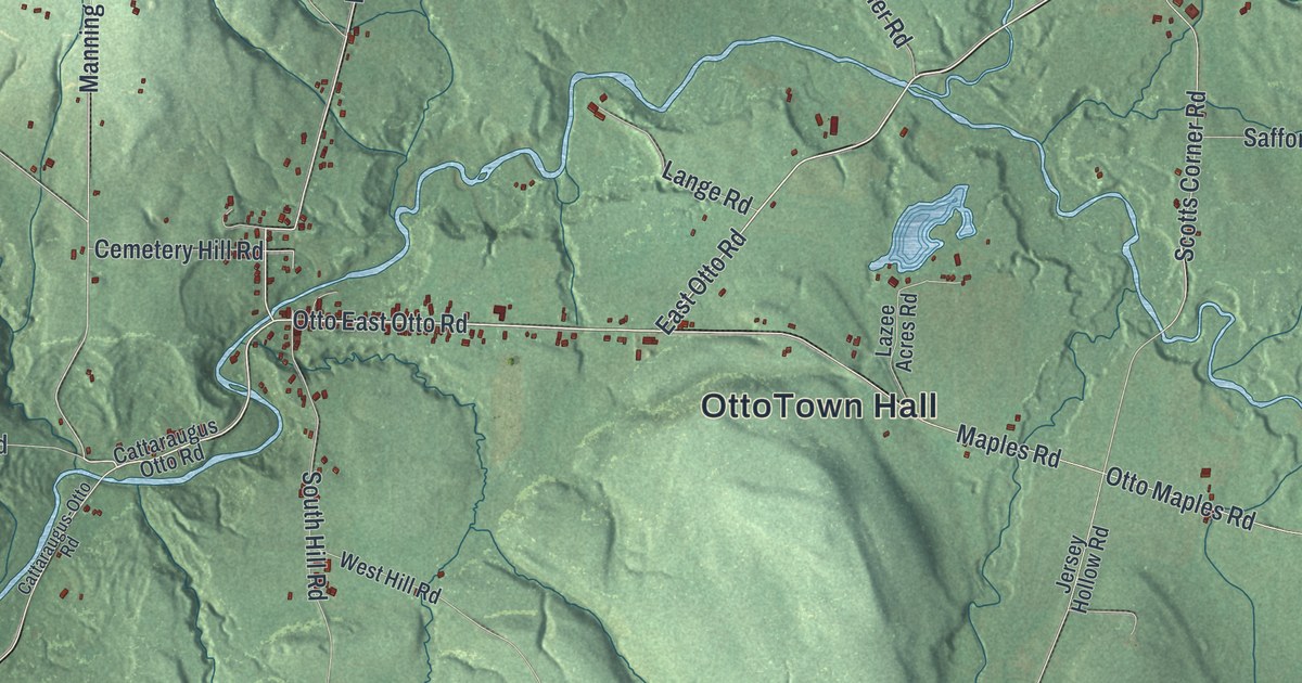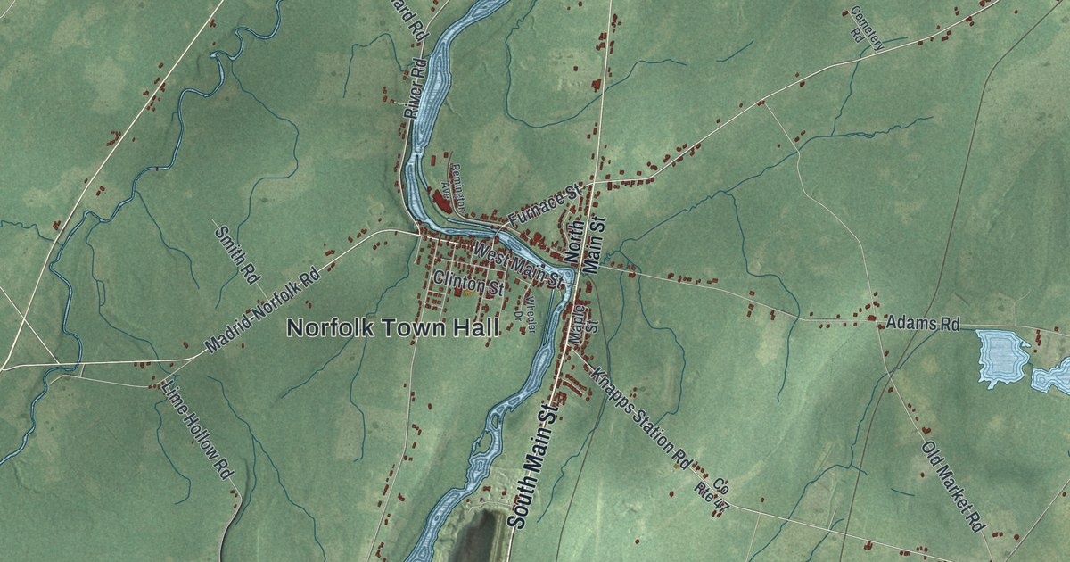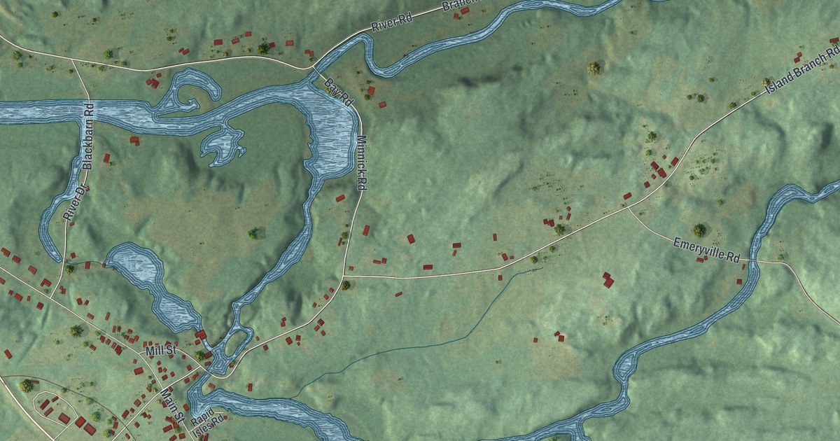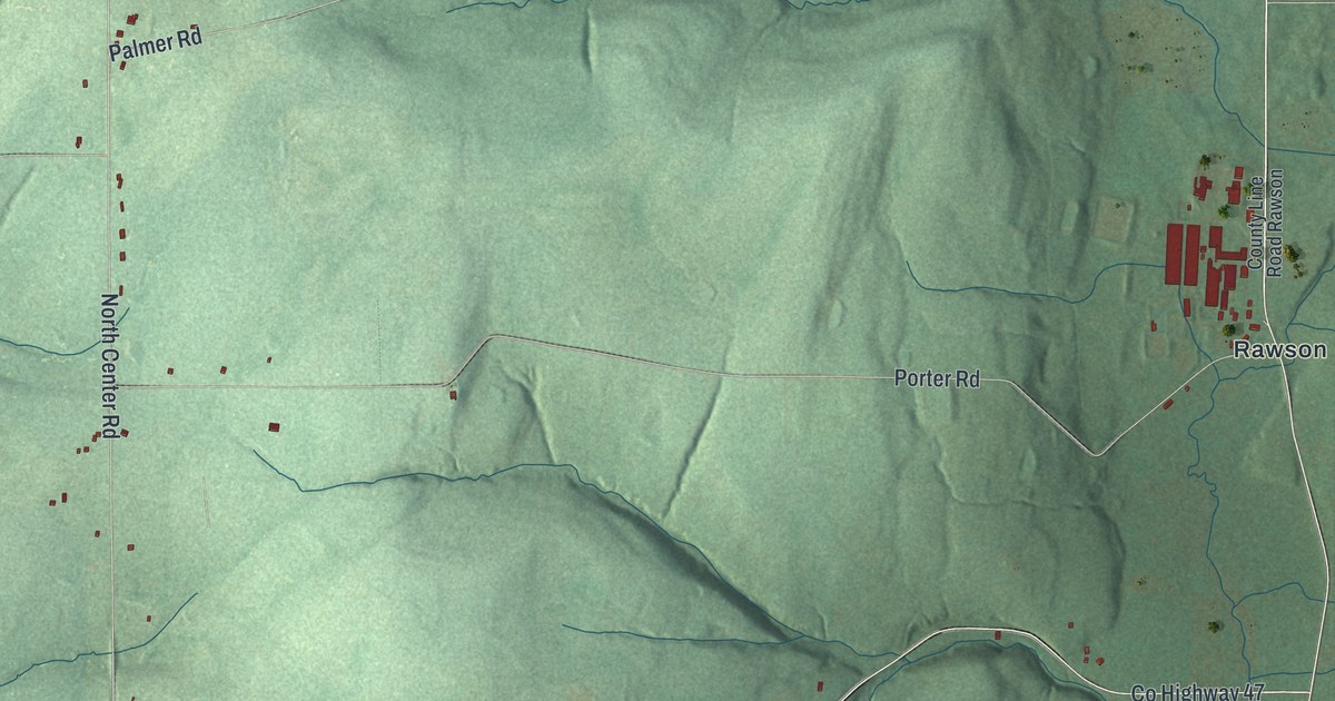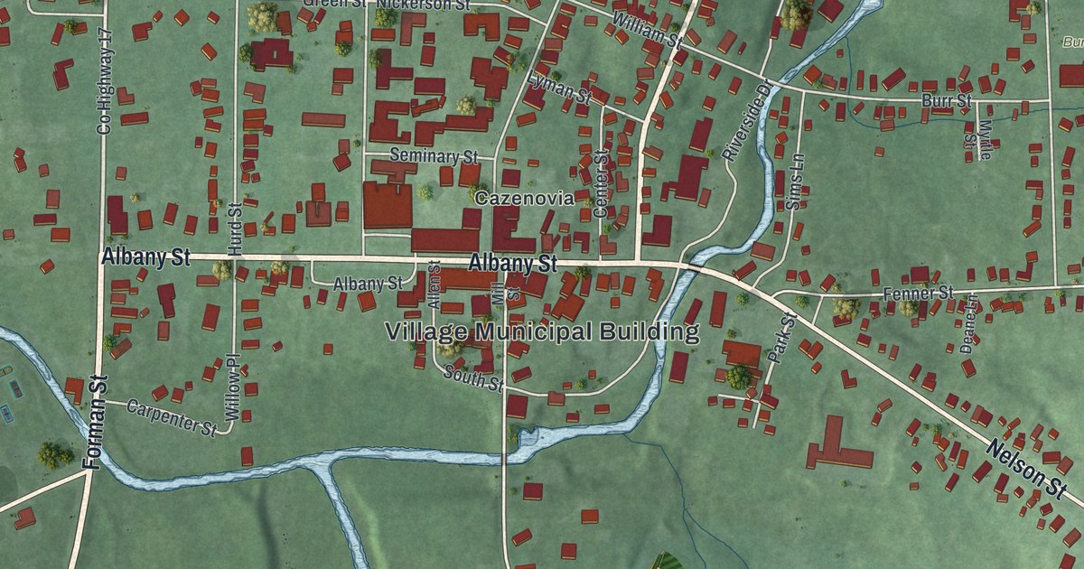
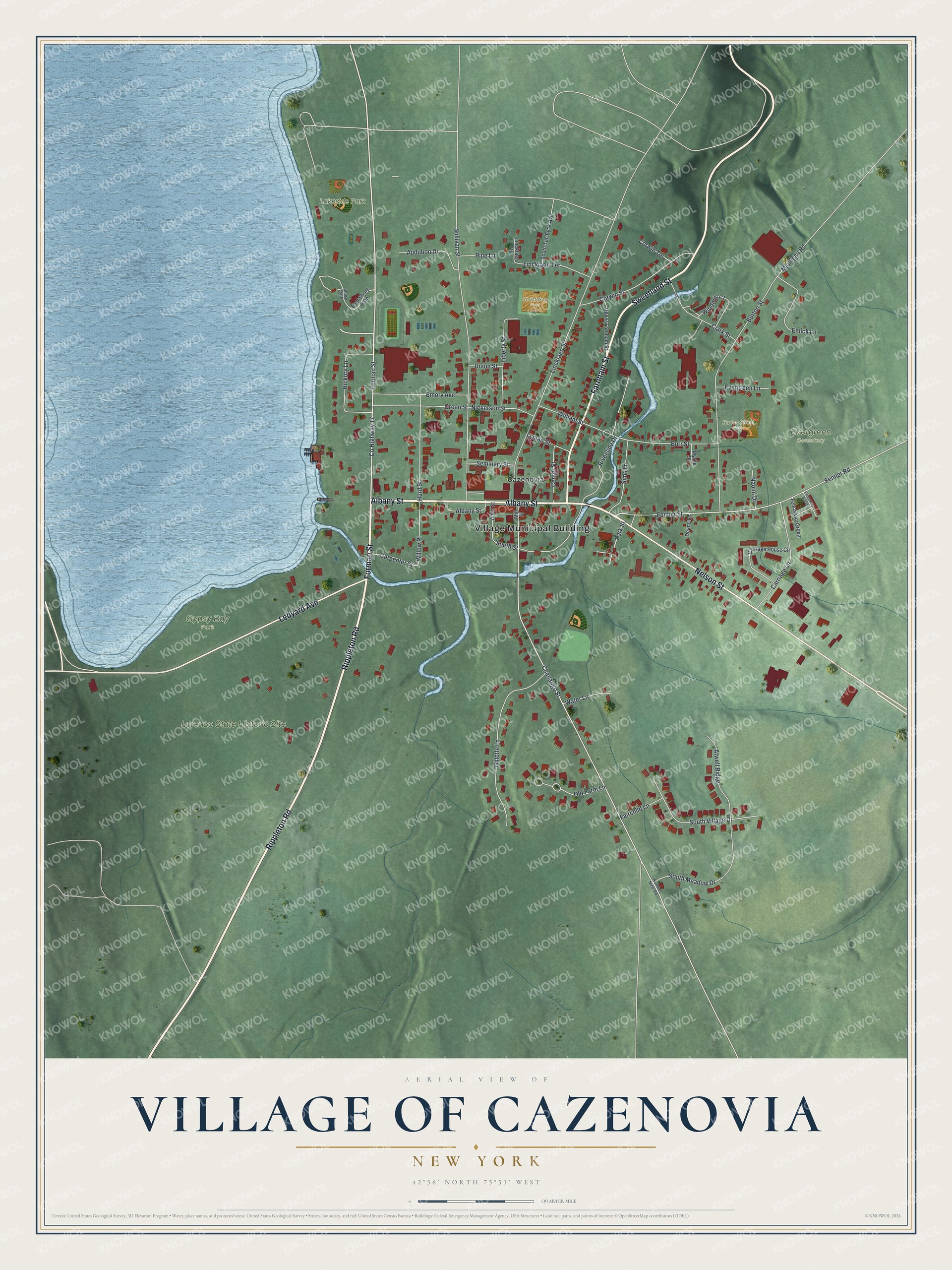
This beautifully detailed map of the Village of Cazenovia, New York was created in 2026 using aerial imagery combined with modern topographical, census, street and landmark data. It’s a one-of-a-kind view of the Village of Cazenovia that combines accurate data with a vintage aesthetic. The map shows every building in its true location, many of the roads carry their names, and the shaded topographic relief shows the shape of the land.
Explore an aerial view of the Village of Cazenovia, New York
On the map you’ll find Village Municipal Building, Evergreen Cemetery, Gypsy Bay Park, and Lakeside Park, along with Forman Street, Rippleton Road, Albany Street, Sweetland Street, and more. If you look closely you can even find your house accurately drawn in its correct location. Zoom in on the preview to look for yours.
Did You Know?
John Lincklaen, a young Dutch naval officer, founded Cazenovia in 1794 for the Holland Land Company. He named it for Theophilus Cazenove, an agent of that company. Among the first buildings were the company store and today’s Presbyterian Church.
Take a closer look at the Village of Cazenovia map
Names on this map
These names are printed on this map.
Places: Village Municipal Building, Evergreen Cemetery, Gypsy Bay Park, Lorenzo State Historic Site, Lakeside Park, Burton Street Fields, Christakos Field and Cazenovia.
Streets and roads: Forman Street, Rippleton Road, Albany Street, Sweetland Street, Ledyard Avenue, Nelson Street, Farnham Street, Park Street, County Highway 17, Chenango Street, South Street, William Street.
More street names, A to Z
Allen Street, Atwell Ridge, Audubon Drive, Burr Street, Burton Street, Carpenter Street, Carriage House Circle, Carriage Lane, Center Street, Clark Street, Corwin Street, Corwin Terrace, Deane Lane, East Shore Path, Emick Lane, Emory Avenue, Evergreen Lane, Fairchild Lane, Fennaway Green, Fenner Road, Fenner Street, Gillette Lane, Green Street, Hickory Lane, Hurd Street, Liberty Street, Lincklaen Drive, Lincklaen Street, Lincklaen Terrace, Lyman Street, Michigan Road, Mill Street, Myrtle Street, Naomi Drive, Nickerson Street, Number Nine Road, Old Farm Lane, Pine Lane, Riverside Drive, Seminary Street, Shore Path, Sims Lane, South Meadow Drive, South Ten Eyck Avenue, South Village Drive, Sullivan Street, Union Street, Upper Farnham Street, Water Lane, Willow Place, Windmill Court.
See it on a wall
The Cazenovia map as a framed print. Swipe for more.


This beautifully detailed map of the Village of Cazenovia makes an attractive addition to your office, library, or den, and it can even be used to teach children the geography and history of the area. It also makes a great gift for someone who left the Village of Cazenovia and still calls it home. When you’re done exploring, click here to get your copy of the Village of Cazenovia map.