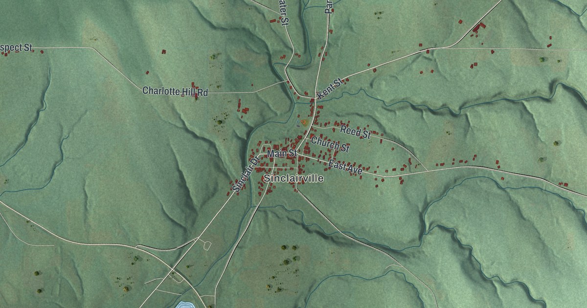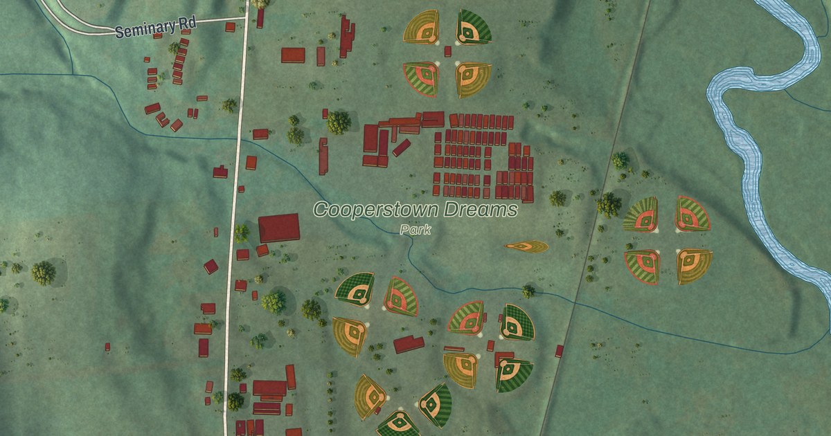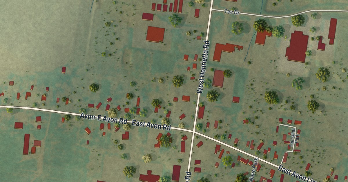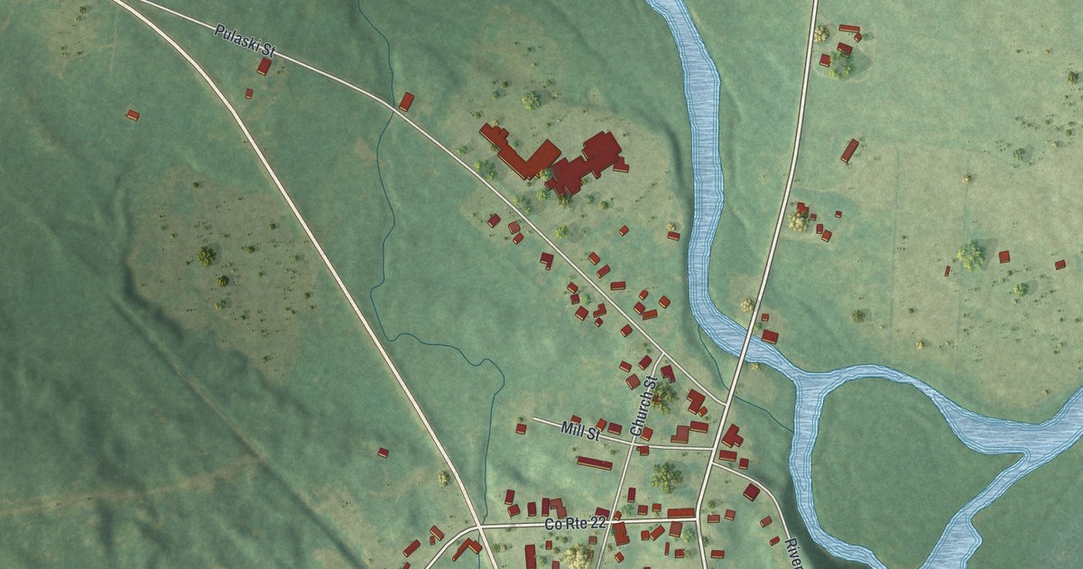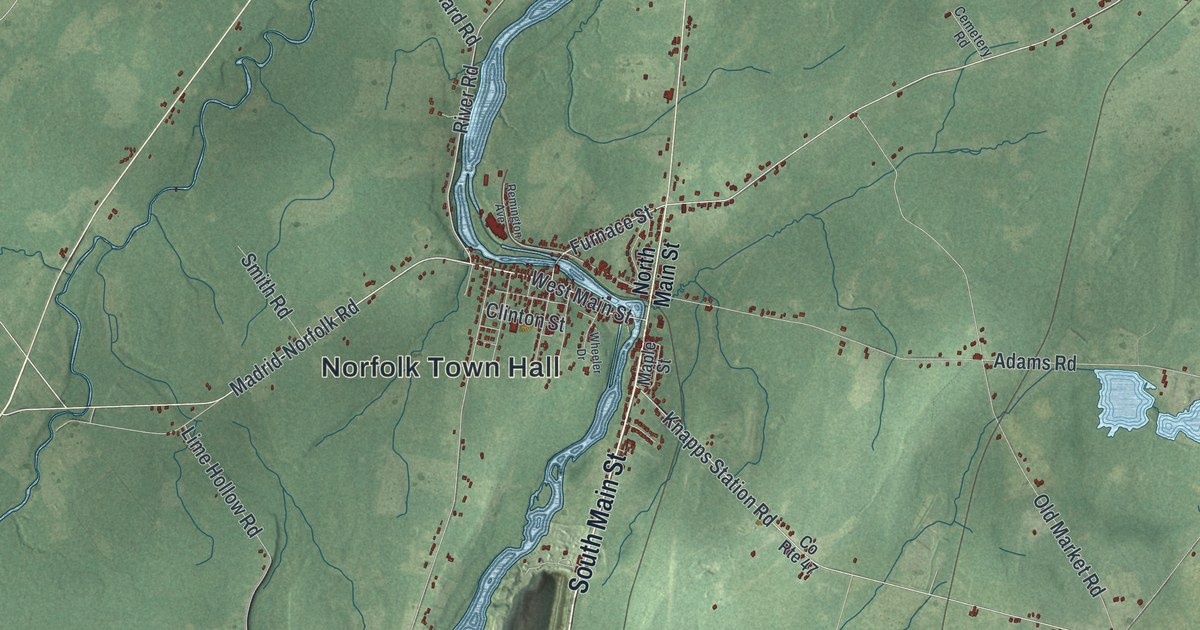
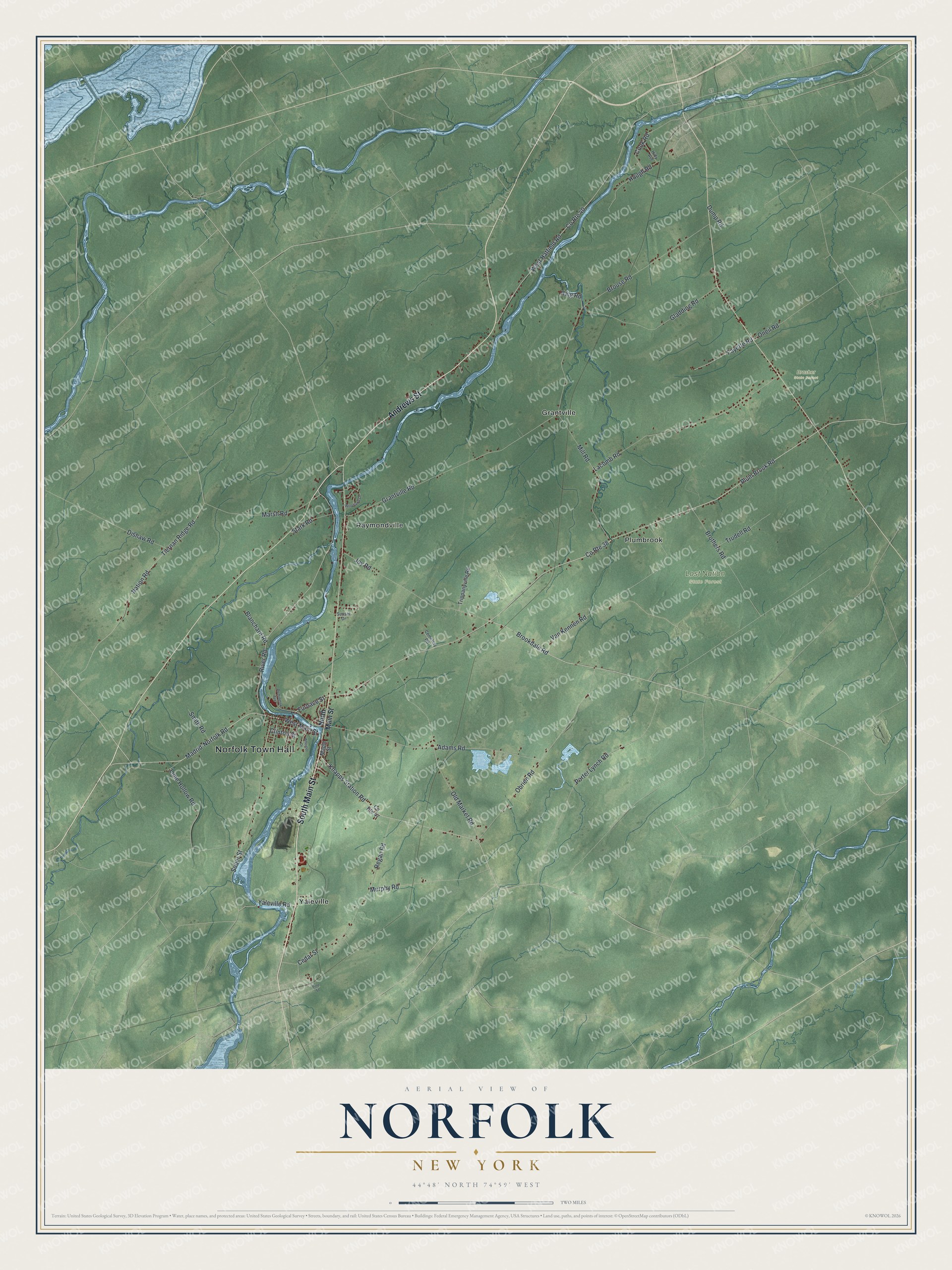
This beautifully detailed map of Norfolk, New York was created in 2026 using aerial imagery combined with modern topographical, census, street and landmark data. It’s a one-of-a-kind view of Norfolk that combines accurate data with a vintage aesthetic. The map shows every building in its true location, many of the roads carry their names, and the shaded topographic relief shows the shape of the land.
Explore an aerial view of Norfolk, New York
On the map you’ll find Norfolk Town Hall, Grantville, Plumbrook, Raymondville, Yaleville, Brasher State Forest, and Lost Nation State Forest, along with Main Street, Andrews Street, Madrid-Norfolk Road, River Road, and more. If you look closely you can even find your house accurately drawn in its correct location. Zoom in on the preview to look for yours.
Did You Know?
Erastus Hall made the first settlement in Norfolk in 1809, at the place now called Raymondville. The hamlet was named for Benjamin Raymond, the first land agent for the town and for Potsdam. Boats once traveled up the Racket River as far as Raymondville. That’s from the 1860 Gazetteer of the State of New York.
Take a closer look at the Norfolk map
Names on this map
These names are printed on this map.
Places: Norfolk Town Hall, Brasher State Forest, Lost Nation State Forest, Grantville, Plumbrook, Raymondville and Yaleville.
Streets and roads: South Main Street, Andrews Street, Madrid-Norfolk Road, River Road, Marsh Road, West Main Street, Brookdale Road, Sober Street, Furnace Street, Knapps Station Road, Regan Road, Fayette Road.
More street names, A to Z
Adams Road, Blanchard Road, Brothers Road, Brouse Road, Cedar Street, Cemetery Road, Clinton Street, Cook Road, County Route 38, County Route 40, County Route 47, Dishaw Road, Dump Road, Gladding Road, Grantville Road, Haig Road, Hidy Avenue, Hough Road, Joy Road, Lacomb Road, Lime Hollow Road, Maple Street, Mill Road, Murphy Road, Nation Road, North Main Street, Obrien Road, Old Market Road, Oneil Road, Pine Street, Plum Brook Road, Porter Lynch Road, Remington Avenue, Smith Road, Stark Road, Sunset Drive, Tiernan Ridge Road, Trippanyville Road, Trudell Road, Van Kennen Road, West Hatfield Road, Wheeler Drive, Woodland Drive, Yaleville Road.
See it on a wall
The Norfolk map as a framed print. Swipe for more.


This beautifully detailed map of Norfolk makes an attractive addition to your office, library, or den, and it can even be used to teach children the geography and history of the area. It also makes a great gift for someone who left Norfolk and still calls it home. When you’re done exploring, click here to get your copy of the Norfolk map.