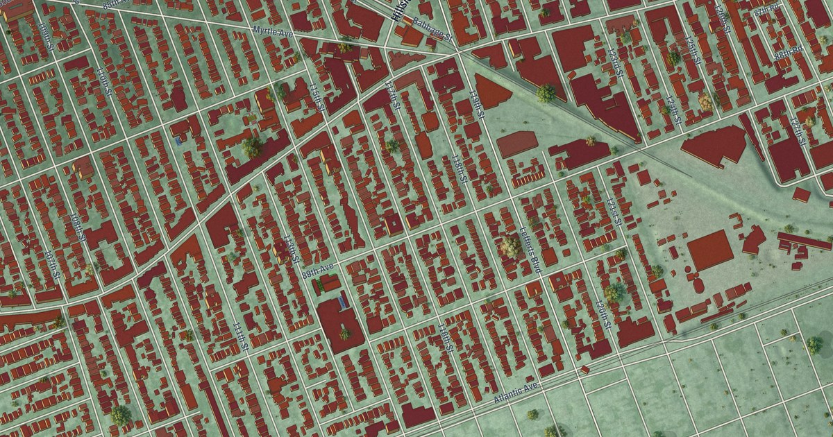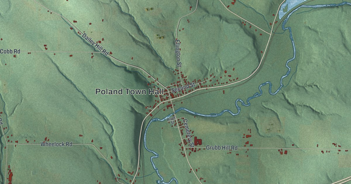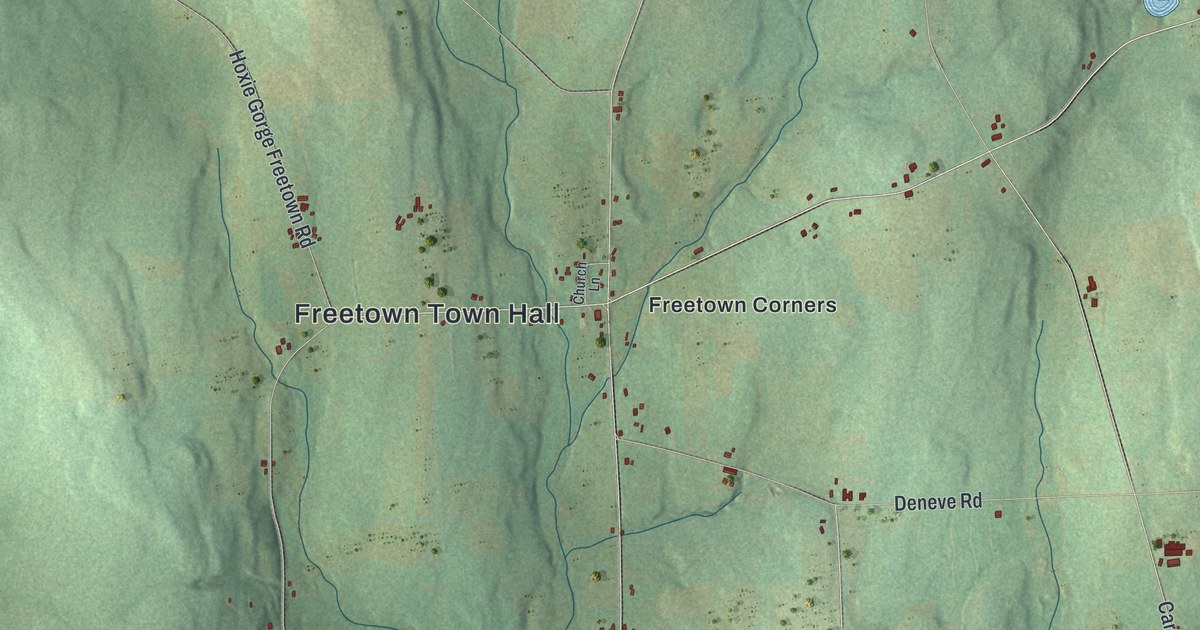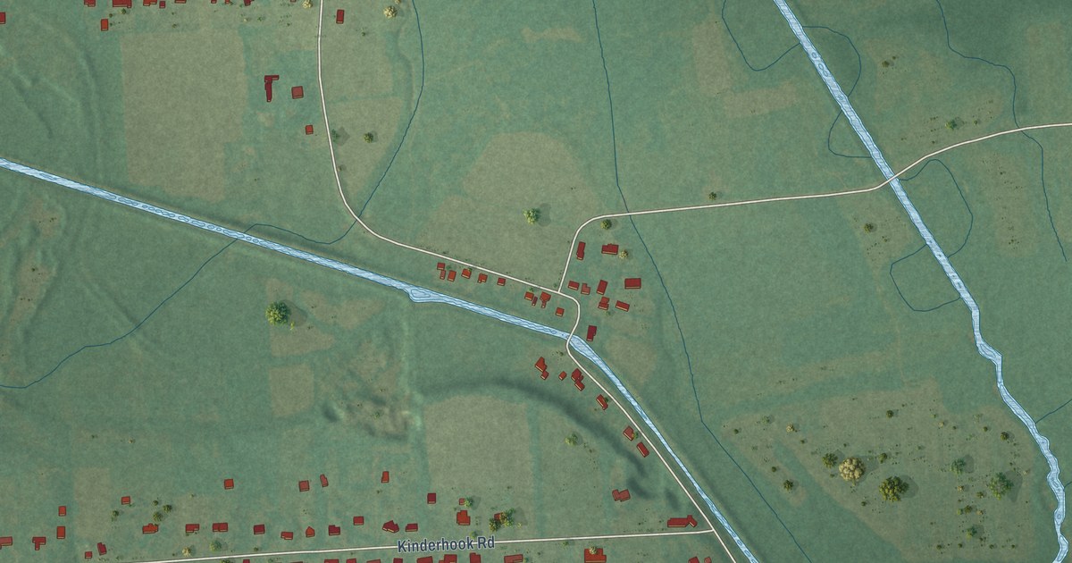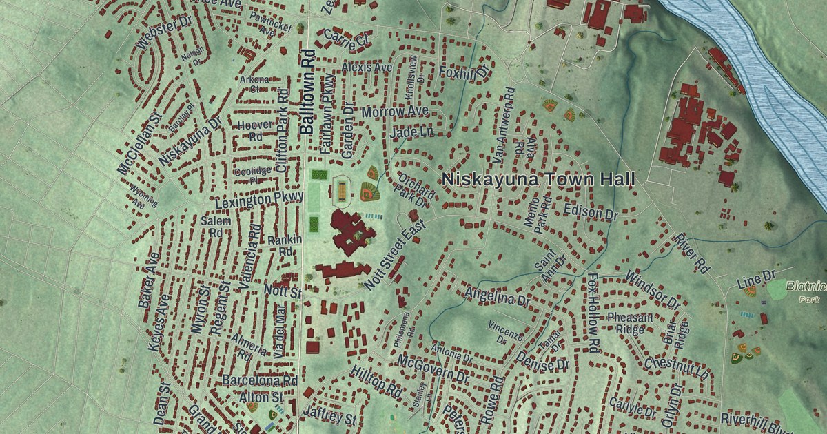
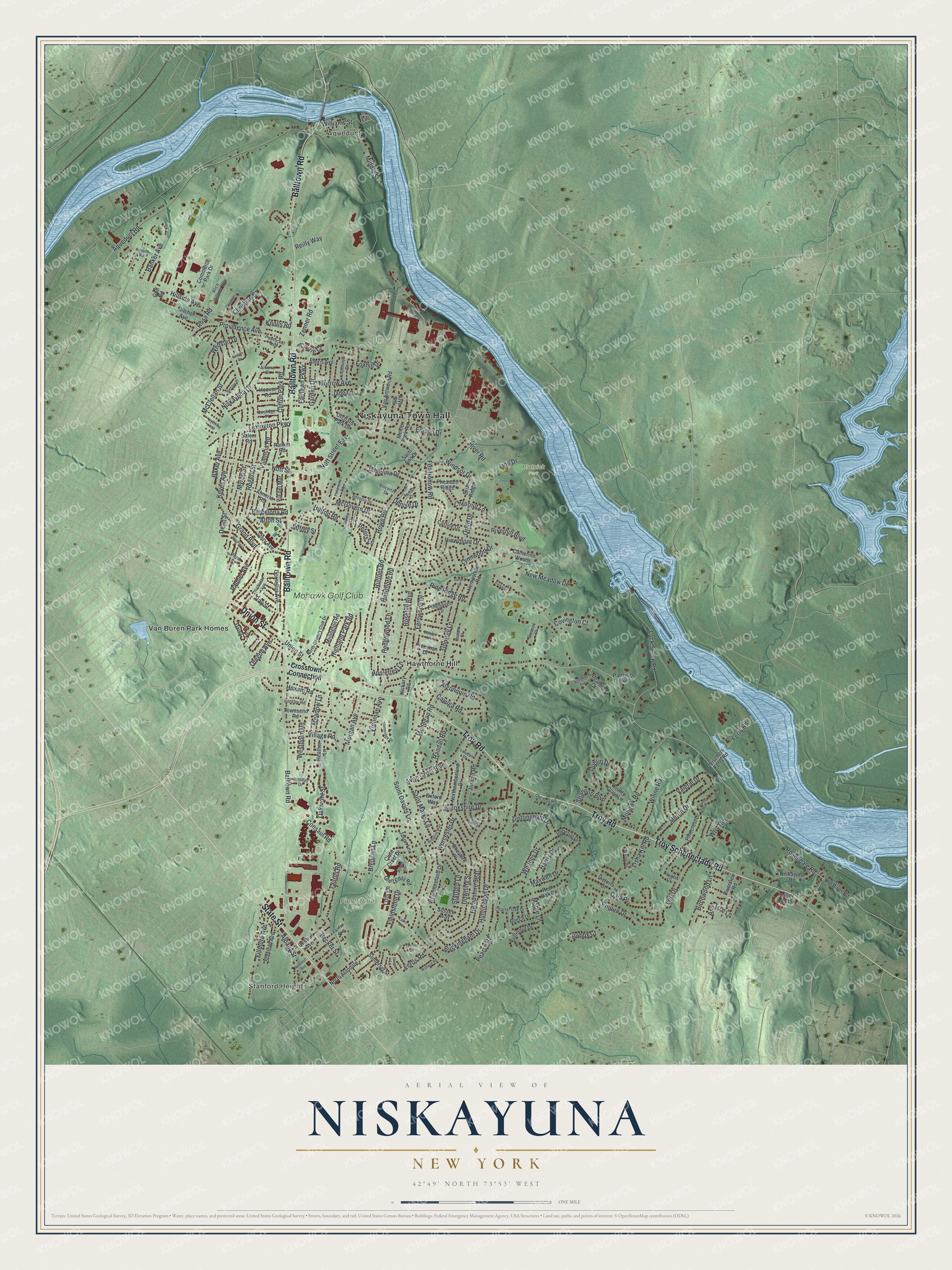
This beautifully detailed map of Niskayuna, New York was created in 2026 using aerial imagery combined with modern topographical, census, street and landmark data. It’s a one-of-a-kind view of Niskayuna that combines accurate data with a vintage aesthetic. The map shows every building in its true location, many of the roads carry their names, and the shaded topographic relief shows the shape of the land.
Explore an aerial view of Niskayuna, New York
On the map you’ll find Niskayuna Town Hall, Stanford Heights, Aqueduct, Hawthorne Hill, Blatnick Park, and Fieldstone Park, along with Troy Road, Balltown Road, Troy Schenectady Road, Union Street, and more. If you look closely you can even find your house accurately drawn in its correct location. Zoom in on the preview to look for yours.
Did You Know?
The name Niskayuna comes from Mohawk words used in early Dutch land patents. The words mean roughly extensive corn flats. For centuries the Mohawk people grew maize in the rich bottomlands along the river. The town was created in 1809 from Watervliet.
Take a closer look at the Niskayuna map
Names on this map
These names are printed on this map.
Places: Niskayuna Town Hall, Stanford Heights, Aqueduct, Blatnick Park, Fieldstone Park, Hawthorne Hill, Van Buren Park Homes and Mohawk Golf Club.
Streets and roads: Troy Road, Balltown Road, Troy Schenectady Road, Union Street, State Street, Rosendale Road, Saint Davids Lane, River Road, Aqueduct Road, Consaul Road, Dean Street, Rosehill Boulevard.
More street names, A to Z
Agostino Avenue, Albany Street, Alexis Avenue, Algonquin Road, Alice Wagner Way, Almeria Road, Alton Street, Alva Road, Angelina Drive, Antonia Drive, Appletree Lane, Arkona Court, Ascot Lane, Ash Tree Lane, Avon Crest Boulevard, Baker Avenue, Banker Avenue, Barcelona Road, Barclay Place, Becker Street, Beech Drive, Bentley Road, Berkley Avenue, Birchwood Lane, Bobby Court, Brendan Lane, Briar Ridge, Brookshire Drive, Buckingham Drive, Butternut Drive, Campo Court, Carlyle Drive, Carrie Court, Catherine Woods, Cayuga Road, Central Avenue, Charter Oak Drive, Cheshire Place, Chestnut Lane, Christian Court, Clifton Park Road, Clute Crest Drive, Commerce Park Drive, Connor Court, Coolidge Place, Cornelius Avenue, County Clare Lane, Covington Court, Crosstown Connection, Daisy Lane, Deanna Court, Denise Drive, Douglas Court, Downing Street, Dublin Drive, East Street, Edison Drive, Empire Drive, Fairfax Avenue, Fairlawn Parkway, Fernwood Drive, Ferris Road, Ferry Road, Fieldstone Drive, Fillmore Avenue, Flower Hill, Foxhill Drive, Fox Hollow Road, Gala Place, Garden Drive, Glen Eddy Road, Godfrey Lane, Golf Road, Grand Boulevard, Hampshire Seat, Harris Drive, Hawthorn Road, Heather Lane, Hedgewood Lane, Hempstead Road, Hereford Way, Hexam Road, Hickory Road, Highland Park Road, Hillside Avenue, Hilltop Road, Holiday Drive, Hoover Road, Huntingdon Drive, Imperial Drive, Inman Road, Jade Lane, Jaffrey Street, Jason Lane, Keyes Avenue, Knolls Road, Knollsview Drive, Laura Lane, Laurel Lane, Lexington Parkway, Line Drive, Lisha Kill Road, Lock Seven Road, Lois Lane, Lori Drive, Loudon Place, Lynnwood Drive, Maple Lane, Maxwell Drive, McClellan Street, McGovern Drive, Meadow Lane, Menlo Park Road, Merlin Drive, Middle Street, Millington Road, Mitchel Avenue, Mohawk Road, Mohegan Road, Mohrhoff Avenue, Morgan Avenue, Morrow Avenue, Myron Street, Nelson Drive, New Meadow Drive, Nicholas Avenue, Niskayuna Drive, Niskayuna Road, North Alandale, North Country Club Drive, Northumberland Drive, Nott Street, Nott Street East, Oakmont Street, Old River Road, Old Troy Road, Orchard Park Drive, Oregon Avenue, Orlyn Drive, Owasco Court, Oxford Way, Palmer Avenue, Parkville Place, Partridge Run, Pawtucket Avenue, Pearse Road, Peters Lane, Pheasant Ridge, Philomena Road, Pinecrest Drive, Pinehaven Drive, Pine Ridge Road, Plum Street, Preisman Drive, Providence Avenue, Randall Road, Rankin Road, Ravine Road, Ray Street, Red Oak Drive, Regent Street, Reilly Way, Riverhill Boulevard, Riverview Road, Rosa Road, Rowe Road, Ruffner Road, Saint Ann Drive, Saint Marks Lane, Salem Road, Sandra Lane, Shannon Boulevard, Somerset Street, Stafford Lane, Stanford Avenue, Stanley Lane, Stoneridge Drive, Story Avenue, Sussex Way, Tamar Drive, Taurus Road, The Plaza, Toriana Court, Townsend Road, Trottingham Drive, Valencia Road, Valerie Drive, Valley Point Drive, Van Antwerp Road, Via del Mar, Victoria Court, Viewmont Drive, Village Road, Vincenzo Drive, Vischers Ferry Road, Vrooman Avenue, Wallace Road, Warner Road, Webster Drive, Westholm Road, Westmoreland Drive, Whitney Drive, Williams Street, Wiltshire Way, Windsor Drive, Winne Road, Worcester Drive, Wtry Road, Wyoming Avenue, Zenner Road.
See it on a wall
The Niskayuna map as a framed print. Swipe for more.


This beautifully detailed map of Niskayuna makes an attractive addition to your office, library, or den, and it can even be used to teach children the geography and history of the area. It also makes a great gift for someone who left Niskayuna and still calls it home. When you’re done exploring, click here to get your copy of the Niskayuna map.