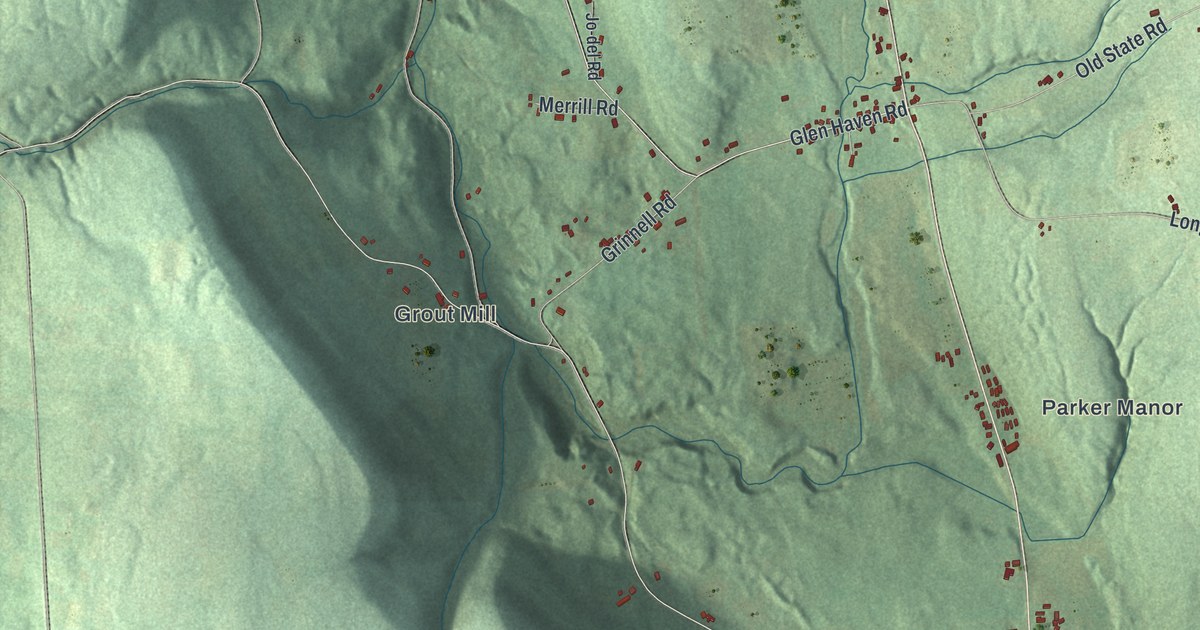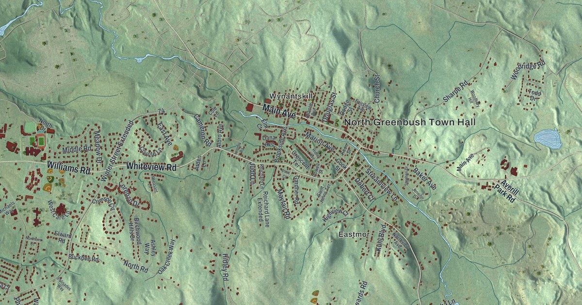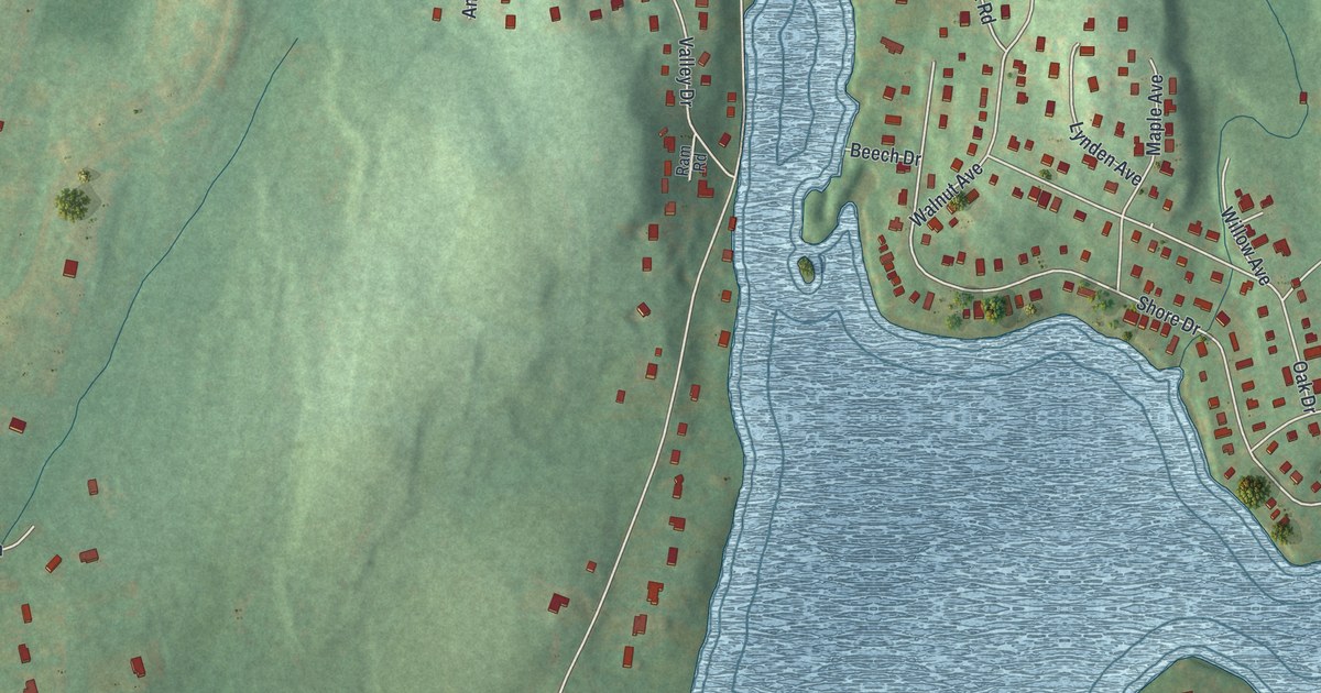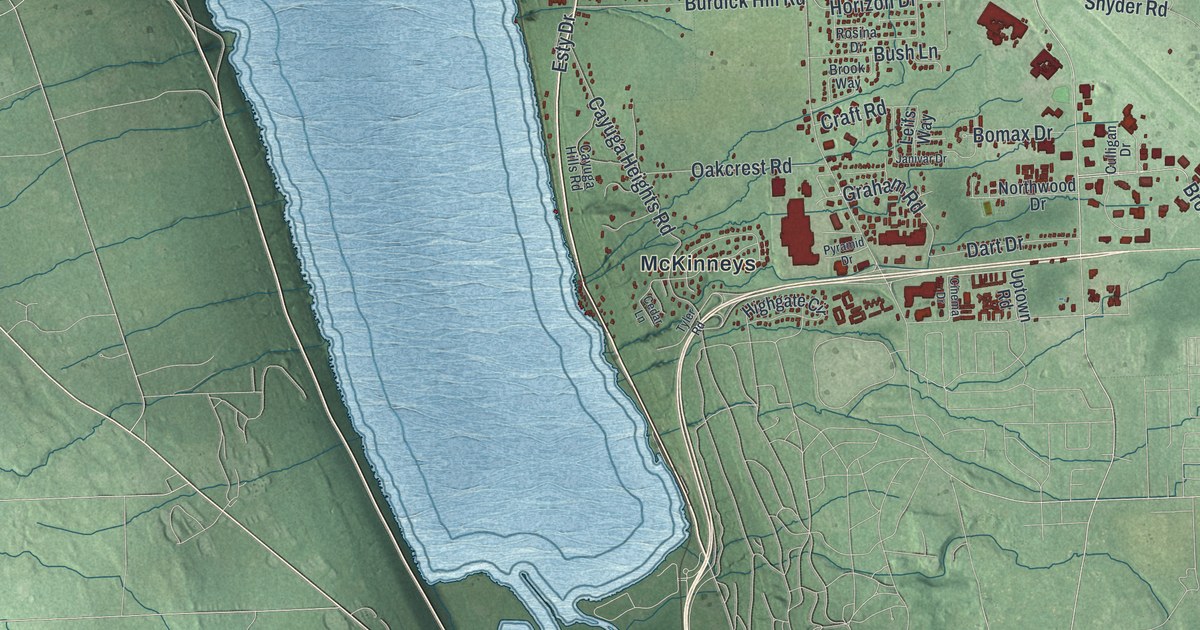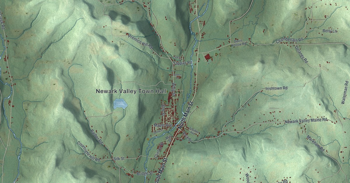
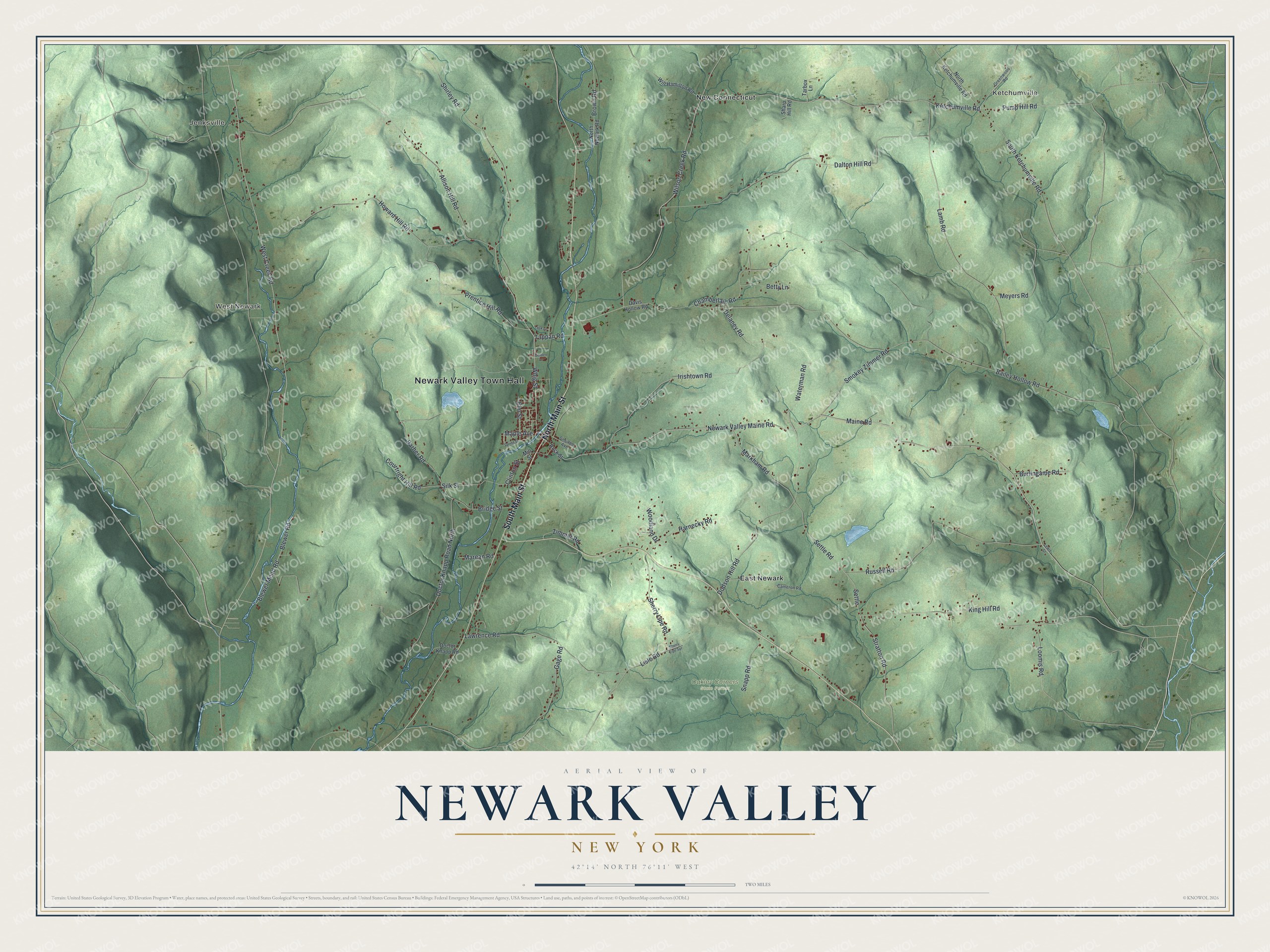
This beautifully detailed map of Newark Valley, New York was created in 2026 using aerial imagery combined with modern topographical, census, street and landmark data. It’s a one-of-a-kind view of Newark Valley that combines accurate data with a vintage aesthetic. The map shows every building in its true location, many of the roads carry their names, and the shaded topographic relief shows the shape of the land.
Explore an aerial view of Newark Valley, New York
On the map you’ll find Newark Valley Town Hall, Jenksville, Ketchumville, West Newark, East Newark, New Connecticut, and Oakley Corners State Forest, along with Main Street, Maple Avenue, Whig Street, Maine Road, and more. If you look closely you can even find your house accurately drawn in its correct location. Zoom in on the preview to look for yours.
Did You Know?
The first settlers came around 1791 to a place called Brown’s Settlement. It became the town of Westville in 1823. A year later, a settler from New Jersey suggested the name Newark. In 1862 the town added Valley to its name, so it would not be confused with a village in Wayne County.
Take a closer look at the Newark Valley map
Names on this map
These names are printed on this map.
Places: Newark Valley Town Hall, Jenksville, Ketchumville, West Newark, Oakley Corners State Forest, East Newark and New Connecticut.
Streets and roads: North Main Street, South Main Street, Newark Valley Maine Road, Maple Avenue, Whig Street, Maine Road, Stratton Road, Waterman Road, Settle, Settle Road, Pump Hill Road, Ketchumville Road.
More street names, A to Z
Allison Hill Road, Bailey Hollow Road, Barber Road, Betty Lane, Blewer Mead Road, Blewer Road, Bridge Street, Brown Road, Burlingame Road, Cameron Road, Chamberlain Road, Clinton Street, Courtright Hill Road, Dalton Hill Road, Davis Hollow Road, Delaney Road, Doctor Knapp Road, Doctor Knapp Road North, Dodson Hill Road, Elm Street, Gage Road, Golden Lane, Greenwood Road, Harnecky Road, Howard Hill Road, Irishtown Road, King Hill Road, Lamb Road, Lawrence Road, Lewis Street, Lisle Road, Loomis Road, Lusk Lane, Marean Road, Markham Road, Meyers Road, Mill Street, North Ketchumville Road, North Newark Road, Prentice Hill Road, Rock Street, Russell Road, Sharp Hill Road, Sherry Lipe Road, Sherry Lipe Spr, Shirley Road, Silk Street, Smokey Zimmer Road, Smullen Avenue, Snapp Road, South Ketchumville Road, Spring Street, Tappan Road, Tarbox Lane, West Creek Road, Will Hamilton Road, Wilson Creek Road, Woodland Drive, Zimmer Road.
See it on a wall
The Newark Valley map as a framed print. Swipe for more.


This beautifully detailed map of Newark Valley makes an attractive addition to your office, library, or den, and it can even be used to teach children the geography and history of the area. It also makes a great gift for anyone with Newark Valley roots. When you’re done exploring, click here to get your copy of the Newark Valley map.