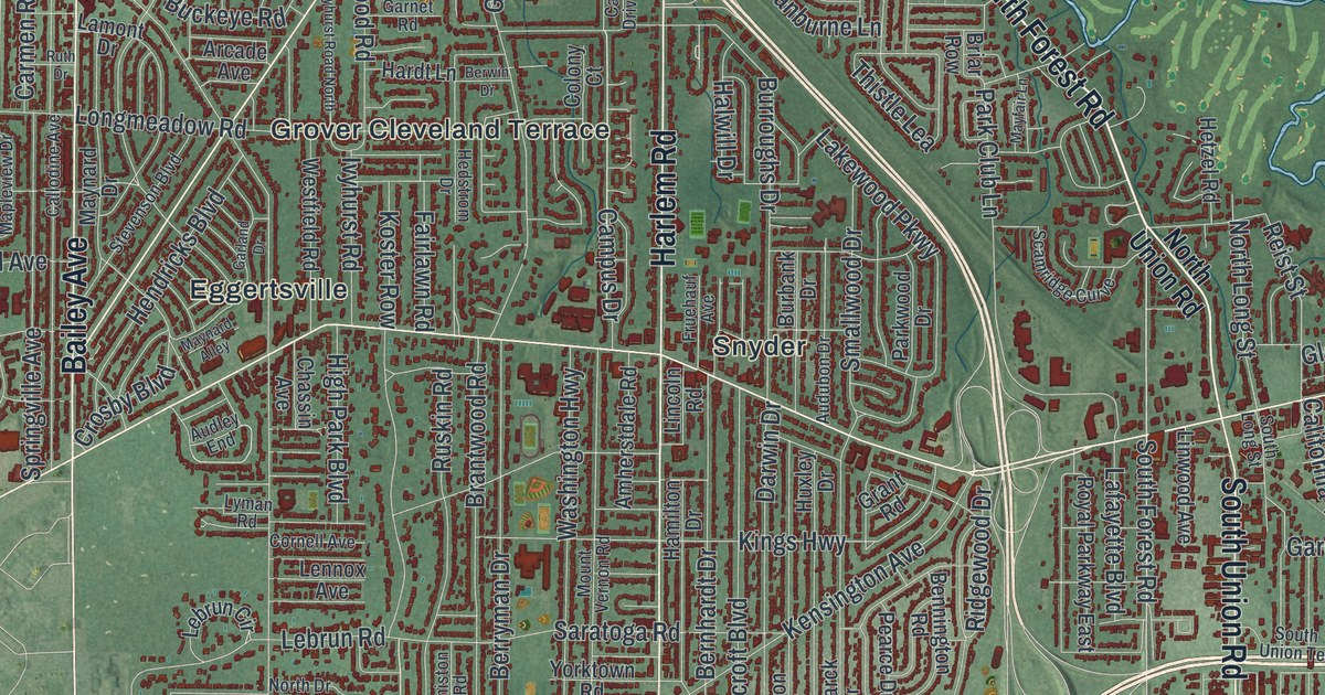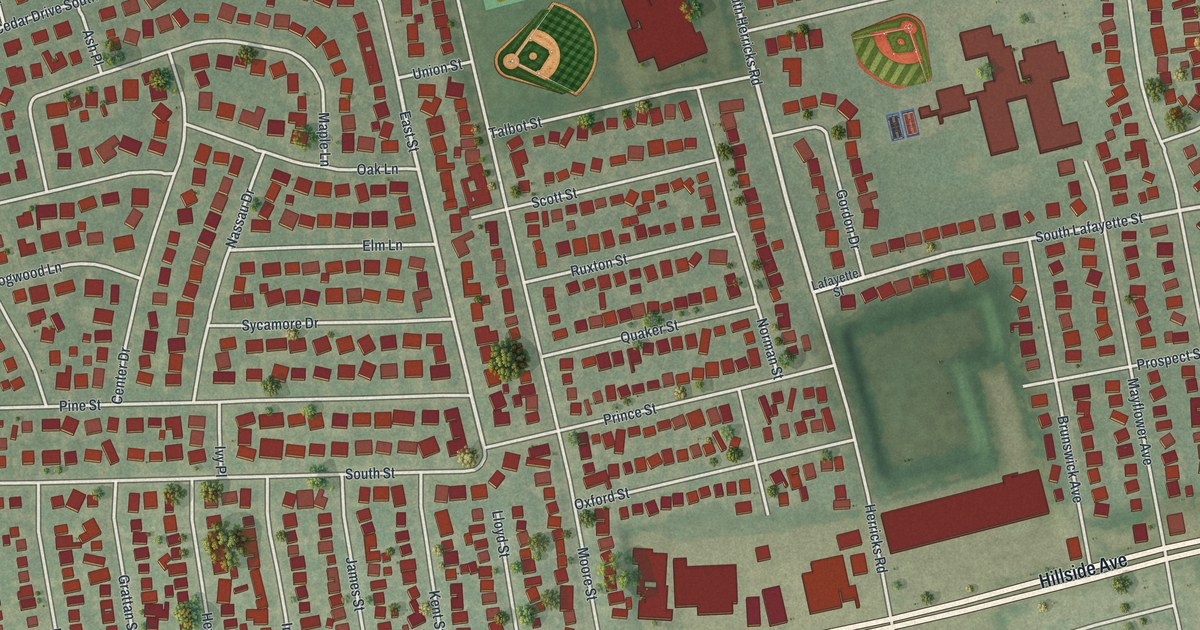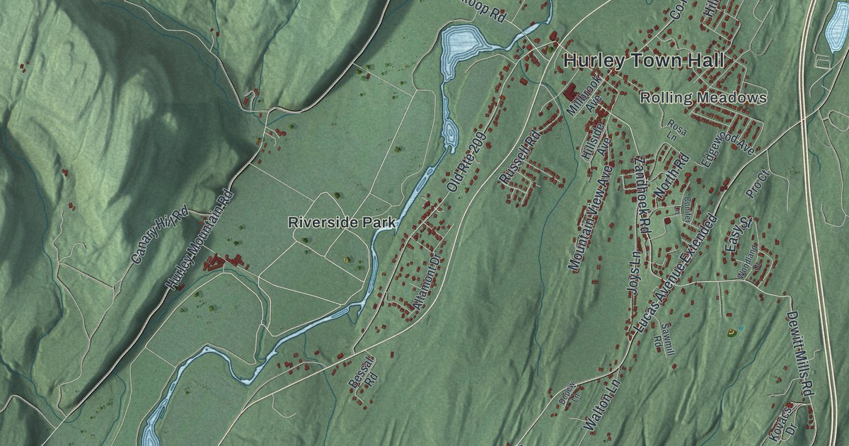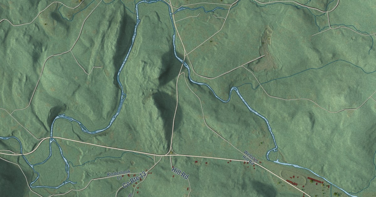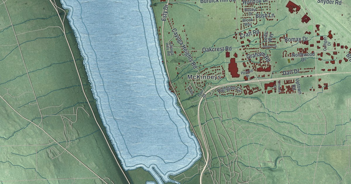
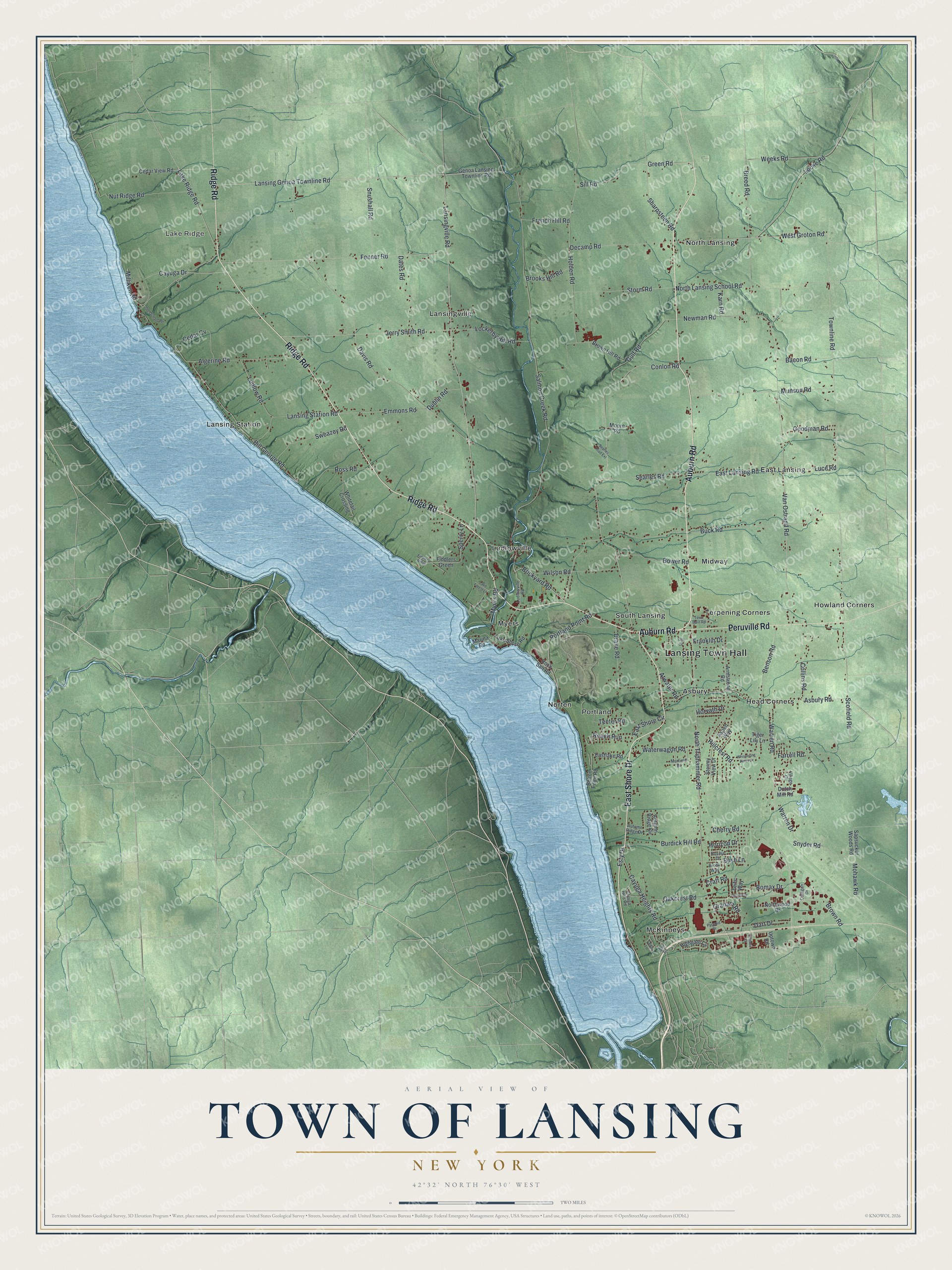
This beautifully detailed map of the Town of Lansing, New York was created in 2026 using aerial imagery combined with modern topographical, census, street and landmark data. It’s a one-of-a-kind view of the Town of Lansing that combines accurate data with a vintage aesthetic. The map shows every building in its true location, many of the roads carry their names, and the shaded topographic relief shows the shape of the land.
Explore an aerial view of the Town of Lansing, New York
On the map you’ll find Lansing Town Hall, Lake Ridge, Asbury, East Lansing, Head Corners, and Howland Corners, along with Ridge Road, Auburn Road, Shore Drive, Peruville Road, and more. If you look closely you can even find your house accurately drawn in its correct location. Zoom in on the preview to look for yours.
Did You Know?
Lansing was formed from Genoa in 1817 and named for John Lansing. Its land had been part of the Military Tract set aside for Revolutionary War soldiers. People from this town later helped settle Lansing, Michigan, and named it for their hometown. That Michigan town became the state capital.
Take a closer look at the Town of Lansing map
Names on this map
These names are printed on this map.
Places: Lansing Town Hall, Lake Ridge, Asbury, East Lansing, Head Corners, Howland Corners, Lansing Station, Lansingville, Ludlowville, McKinneys, Midway, Myers, Norten, North Lansing, Portland, South Lansing and Terpening Corners.
Streets and roads: Ridge Road, Auburn Road, East Shore Drive, Peruville Road, Lansing Genoa Townline Road, Lansingville Road, Green Road, Buck Road, Luce Road, Scofield Road, East Lansing Road, Cherry Road.
More street names, A to Z
Algerine Road, Armstrong Road, Asbury Road, Aspen Way, Atwater Road, Autumn Ridge Circle, Autumn Ridge Drive, Bacon Road, Benson Road, Bill George Road, Bolton Point Road, Bomax Drive, Bower Road, Breed Road, Brickyard Road, Brooks Hill Road, Brook Way, Brown Hill Road, Brown Road, Burdick Hill Road, Bush Lane, Cayuga Drive, Cayuga Heights Road, Cayuga Hills Road, Cedar Cv, Cedar Lane, Cedar View Road, Cinema Drive, Collins Road, Conlon Road, Craft Road, Culligan Drive, Dart Drive, Dates Road, Davis Road, Decamp Road, Drake Road, Dublin Road, Dutch Mill Road, Eastlake Road, East Shore Circle, Emmons Road, Esty Drive, Farrell Road, Fenner Road, Fiddlers Green, Fiddlers Ridge, Franklin Drive, French Hill Road, Genoa Lansing Townline Road, Goodman Road, Graham Road, Gulf Road, Highgate Circle, Hillcrest Road, Holden Road, Horizon Drive, Horvath Drive, Janivar Drive, Jerry Smith Road, Karn Road, Lake Forest Lane, Lake Ridge Road, Lake Shore Road, Lansing Station Road, Leifs Way, Lockerby Hill Road, Locke Road, Ludlow Road, Ludlowville Road, Marina Road, Milliken Road, Mohawk Road, Moore Road, Munson Road, Murfield Drive, Myers Road, Newman Road, North Lansing School Road, North Triphammer Road, Northwood Drive, Nut Ridge Road, Oakcrest Road, Old Orchard Road, Otti Drive, Portland Point Road, Pyramid Drive, Reach Run, Rock Salt Road, Rosina Drive, Ross Road, Salmon Creek Road, Sapsucker Woods Road, Searles Road, Searles Road Extension, Sharpsteen Road, Sill Road, Snushall Road, Snyder Road, Sperry Lane, Storm Road, Stormy View Drive, Sweazey Road, Teeter Road, Tiger Lily Lane, Town Barn Road, Townline Road, Tyler Road, Uptown Road, Van Ostrand Road, Village Circle, Warren Drive, Warren Road, Waterwagon Road, Weeks Road, West Groton Road, Whispering Pines Drive, Whitetail Crossing, Wilson Road.
See it on a wall
The Lansing map as a framed print. Swipe for more.


This beautifully detailed map of the Town of Lansing makes an attractive addition to your office, library, or den, and it can even be used to teach children the geography and history of the area. It also makes a great gift for anyone who grew up in the Town of Lansing or moved away. When you’re done exploring, click here to get your copy of the Town of Lansing map.