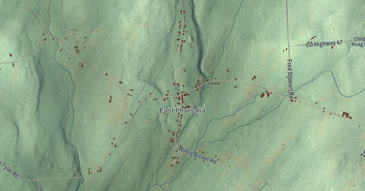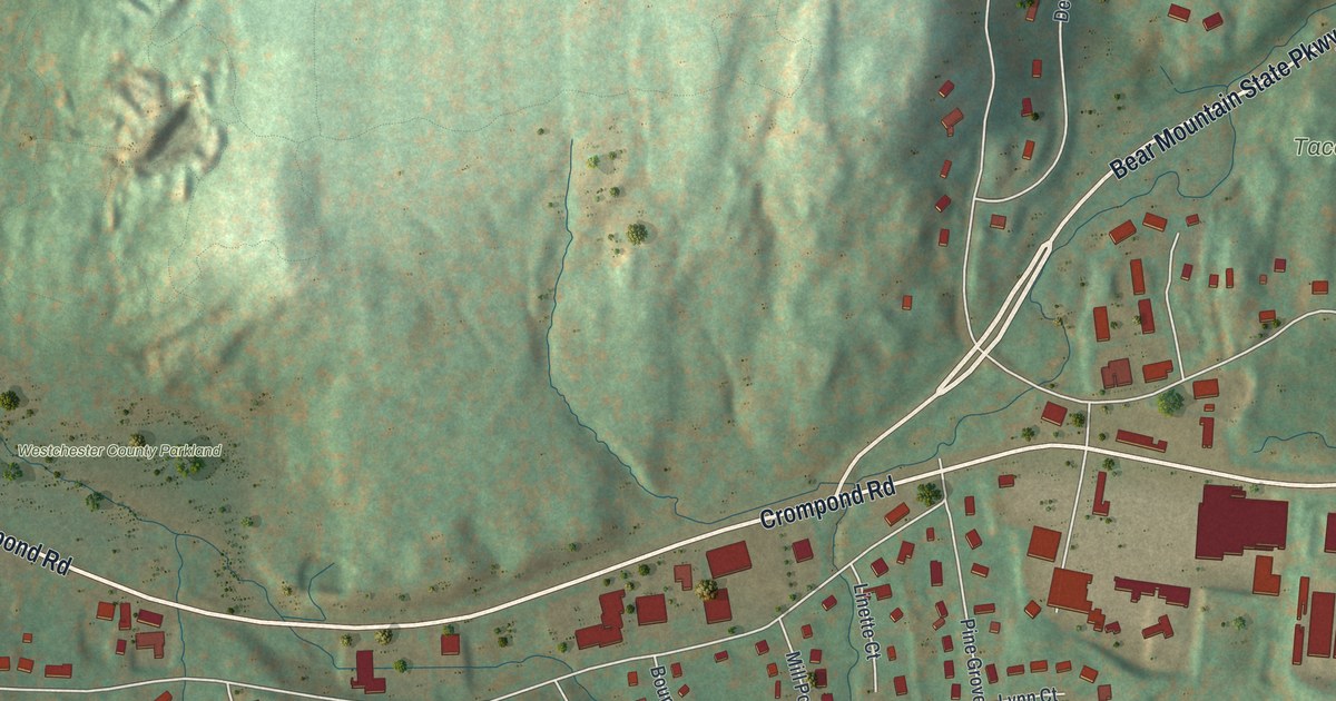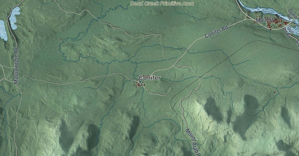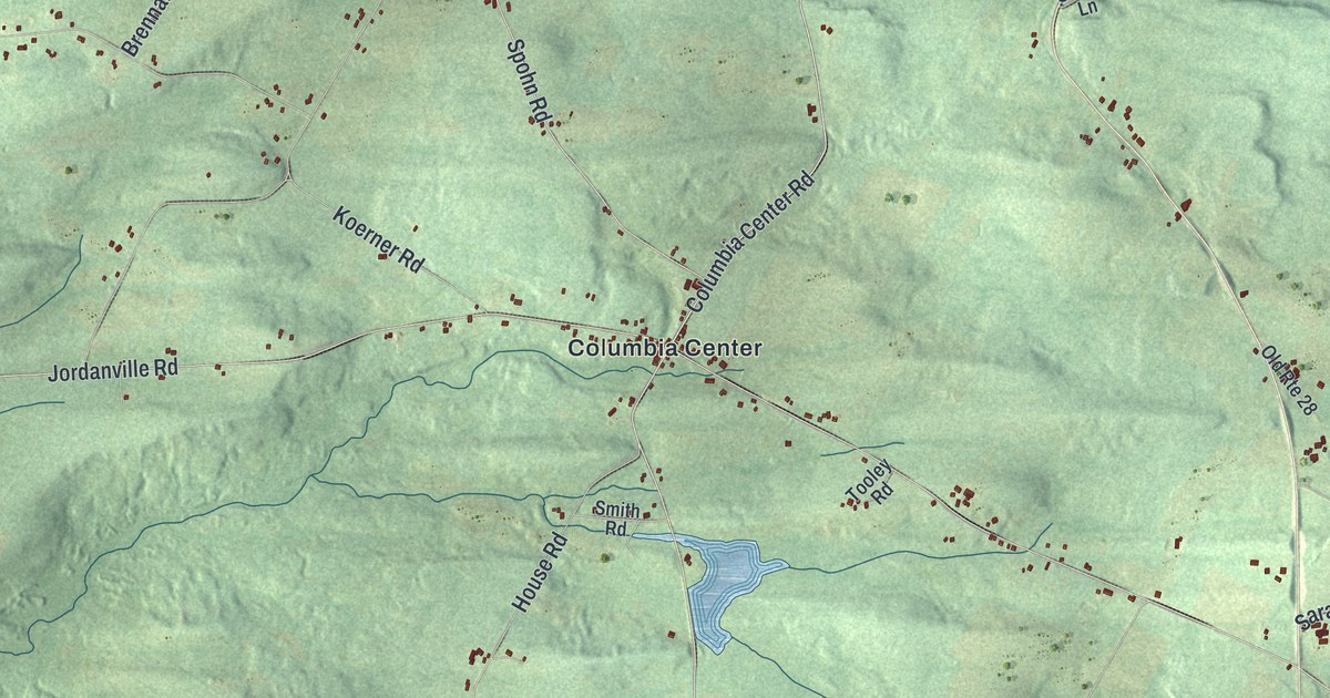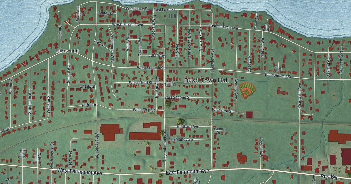
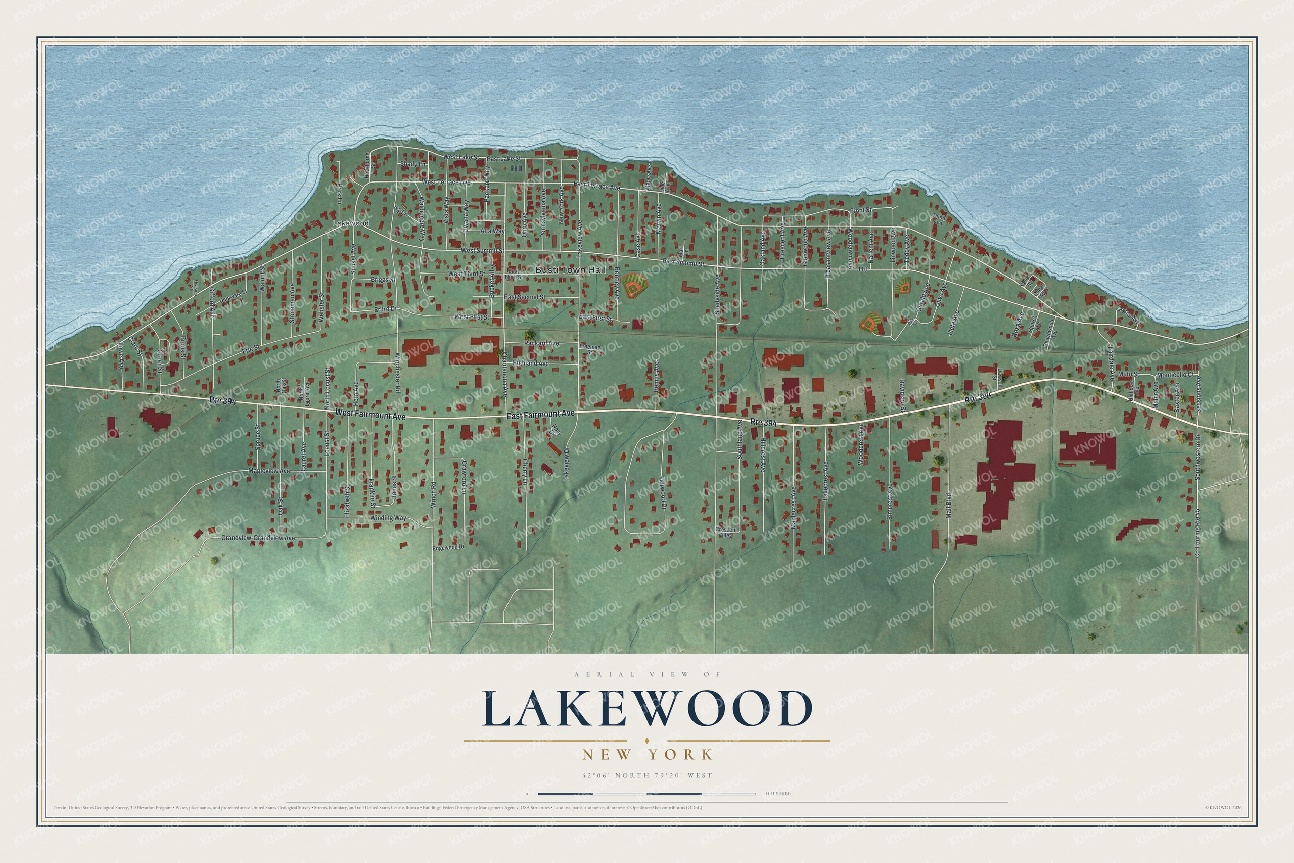
This beautifully detailed map of Lakewood, New York was created in 2026 using aerial imagery combined with modern topographical, census, street and landmark data. It’s a one-of-a-kind view of Lakewood that combines accurate data with a vintage aesthetic. The map shows every building in its true location, many of the roads carry their names, and the shaded topographic relief shows the shape of the land.
Explore an aerial view of Lakewood, New York
On the map you’ll find Busti Town Hall, along with Fairmount Avenue, Chautauqua Avenue, Terrace Avenue, Sunset Avenue, and more. If you look closely you can even find your house accurately drawn in its correct location. Zoom in on the preview to look for yours.
Take a closer look at the Lakewood map
Names on this map
These names are printed on this map.
Places: Busti Town Hall and Lakewood.
Streets and roads: East Fairmount Avenue, Route 394, West Fairmount Avenue, Chautauqua Avenue, West Terrace Avenue, Sunset Avenue, East Terrace Avenue, West Lake Street, Sessions Avenue, Monticello Court, Erlfrd Drive, West Summit Street.
More street names, A to Z
Alta Way, Baxter Avenue, Beechwood Avenue, Bemus Avenue, Bentley Avenue, Briggs Street, Brook Street, Bucket Alley, Canal Avenue, Case Avenue, Cherry Lane, Clark Street, Co Touring Route 45, Crawford Lane, Crescent Alley, Crescent Avenue, Crystal Avenue, Davidson Street, Dawson Street, Delaware Street, Division Street, Dunn Avenue, Dunn Street, East First Street, East Lake Street, East Second Street, East Summit Street, East Third Street, Edgewood Drive, Elizabeth Street, Elmcrest Avenue, Erie Street, Fairdale Avenue, Fairwood Drive, Fleta Avenue, Franklin Street, Freeman Street, Front Street, Gerald Avenue, Gifford Avenue, Glenwood Avenue, Grandview, Grandview Avenue, Green Street, Harlem Avenue, Hawthorne Street, Hern Avenue, Highland Avenue, Hillcrest Avenue, Holly Drive, Ivy Lane, Jones Street, Lakecrest Avenue, Lakeview Avenue, Lakeview Drive, Laurel Avenue, Linwood Avenue, Locust Street, Lowe Avenue, Mall Boulevard, Maple Avenue, Maplecrest Avenue, Mapleview Avenue, Mari Lane, Marvin Avenue, Miller Avenue, Muto Street, New York Avenue, Nicholas Avenue, North Laurel Avenue, North Locust Street, North Oak Street, Oakland Avenue, Oak Street, Ohio Avenue, Olive Avenue, Owana Way, Packard Avenue, Packard Way, Park Lane, Pennsylvania Avenue, Pine Avenue, Pleasantview Avenue, Roxa Avenue, Shady Lane, Shadyside Avenue, Southland Avenue, Southwestern Drive, Spruce Street, Squires Avenue, Stoneman Avenue, Teddy Avenue, Velie Street, Vista Way, Waldemere Way, Walnut Street, Webster Street, West First Street, West Third Street, Winchester Road, Winch Road, Winding Way, Woodcrest Avenue, Woodlawn Avenue.
See it on a wall
The Lakewood map as a framed print. Swipe for more.


This beautifully detailed map of Lakewood makes an attractive addition to your office, library, or den, and it can even be used to teach children the geography and history of the area. It also makes a great gift for someone who left Lakewood and still calls it home. When you’re done exploring, click here to get your copy of the Lakewood map.