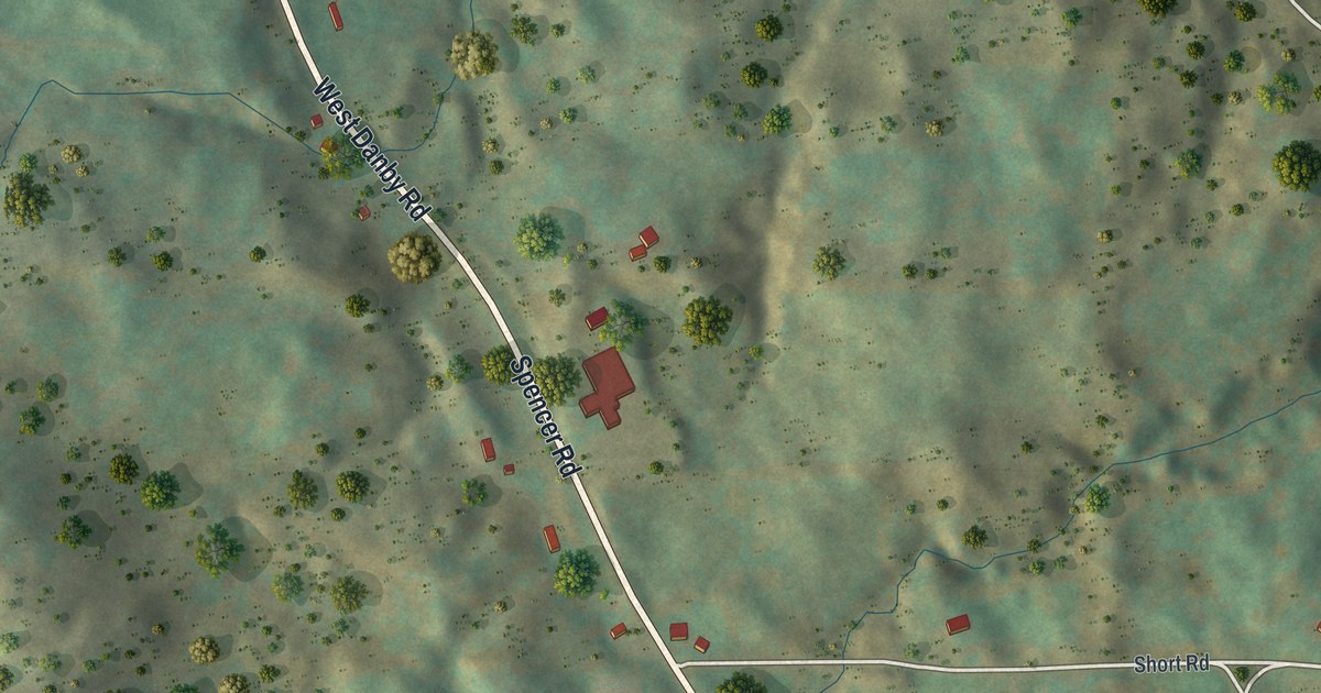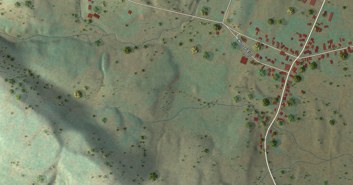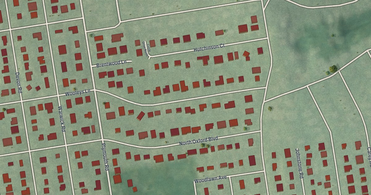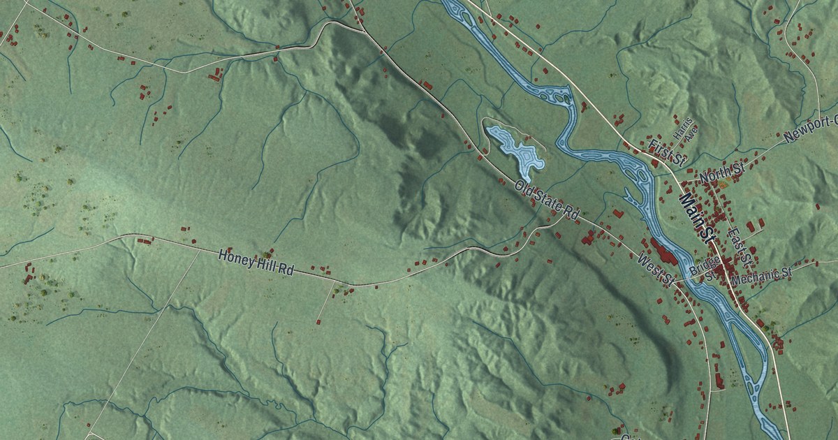
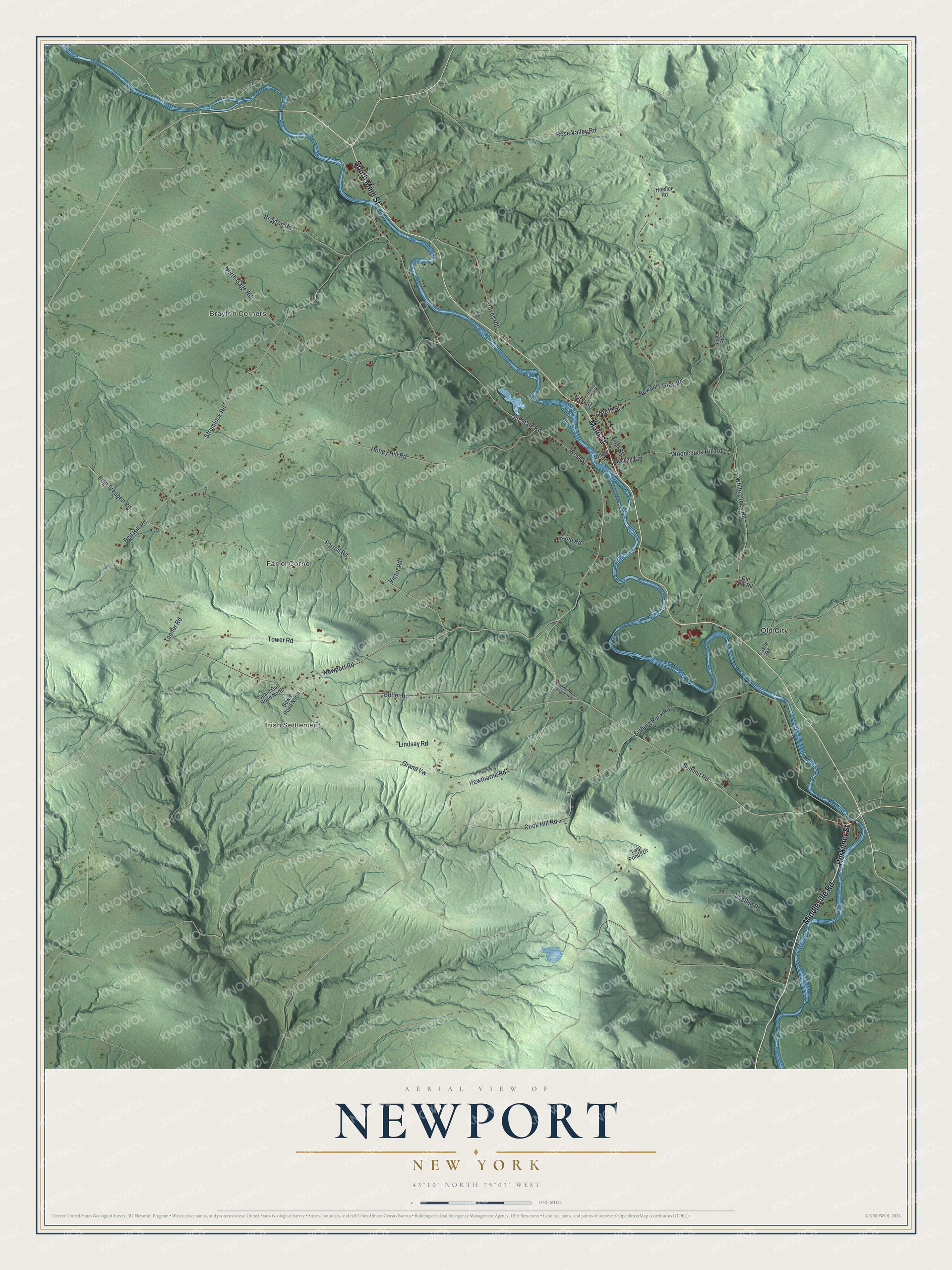
This beautifully detailed map of Newport, New York was created in 2026 using aerial imagery combined with modern topographical, census, street and landmark data. It’s a one-of-a-kind view of Newport that combines accurate data with a vintage aesthetic. The map shows every building in its true location, many of the roads carry their names, and the shaded topographic relief shows the shape of the land.
Explore an aerial view of Newport, New York
On the map you’ll find Brayton Corners, Irish Settlement, Farrel Corner, and Old City, along with Herkimer Street, Middleville Road, Main Street, Summit Road, Hawthorne Road, and more. If you look closely you can even find your house accurately drawn in its correct location. Zoom in on the preview to look for yours.
Did You Know?
The village of Newport began as the Bowen Settlement, named for its founder, Benjamin Bowen. He bought the land around 1788 and invited settlers to buy from him. Newport later became an important cheese center. It was also home to Linus Yale and his son of the same name, both lockmakers and inventors.
Take a closer look at the Newport map
Names on this map
These names are printed on this map.
Places: Brayton Corners, Irish Settlement, Farrel Corner and Old City.
Streets and roads: Herkimer Street, Middleville Road, Main Street, South Main Street, Summit Road, Hawthorne Road, Farrell Road, West Street, East Steuben Road, Newport Road, Strumlock Road, North Gage Road.
More street names, A to Z
Bell Hill Road, Bowie Road North, Brayton Road, Bridge Street, Brown Drive, Butler Road, Castle Road, Cole Road, Cook Hill Road, East Street, First Street, Fishing Rock Road, Gage Road, Grand Vw, Graves Road, Harris Avenue, Hoeller Road, Honey Hill Road, Lindsay Road, Mechanic Street, Newport-Gray Road, North Street, Old City Road, Old State Road, Rose Valley Road, Spain Gulf Road North, Summit Road Extended, Tanner Road, Tower Road, Twin Ponds Drive, Victor Road, Voelkle Road, White Creek Road, Woodchuck Hill Road.
See it on a wall
The Newport map as a framed print. Swipe for more.


This beautifully detailed map of Newport makes an attractive addition to your office, library, or den, and it can even be used to teach children the geography and history of the area. It also makes a great gift for someone who left Newport and still calls it home. When you’re done exploring, click here to get your copy of the Newport map.