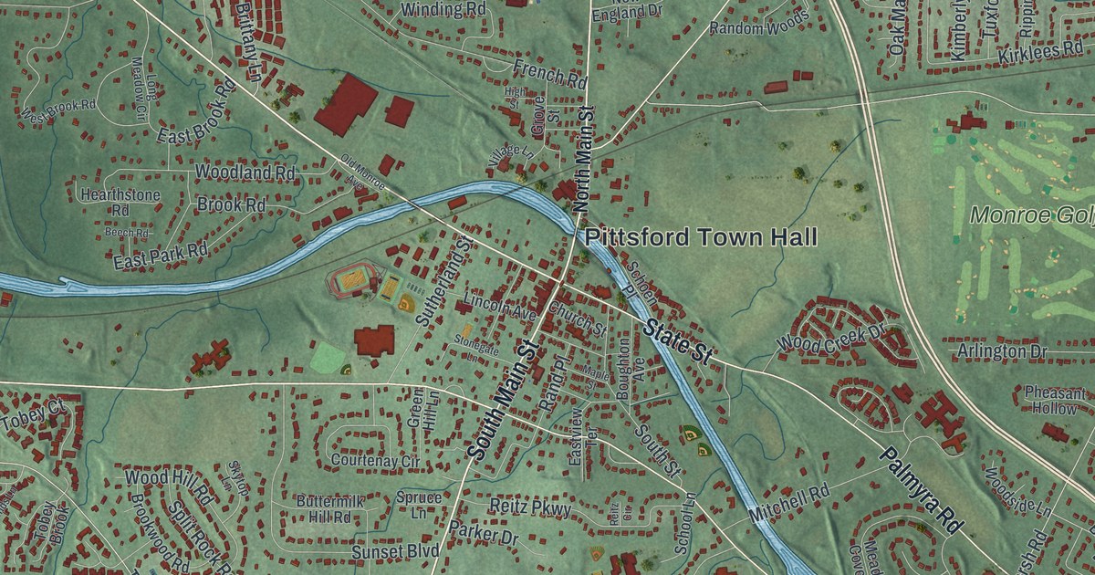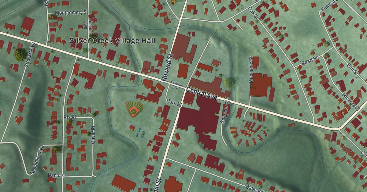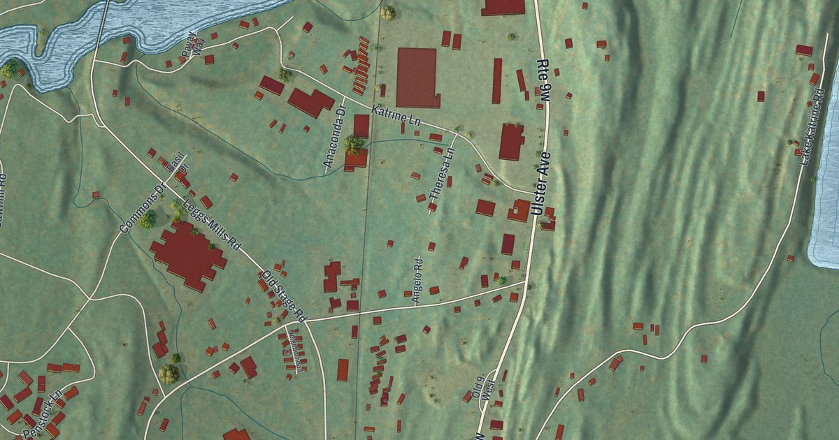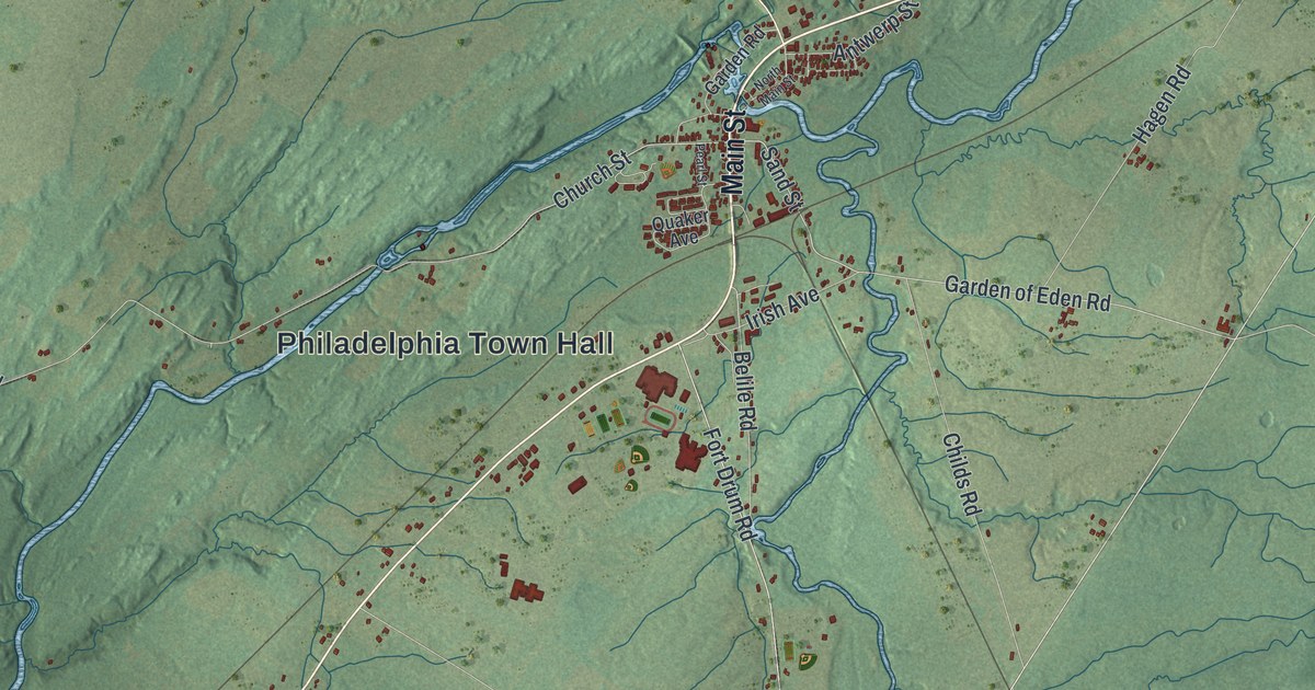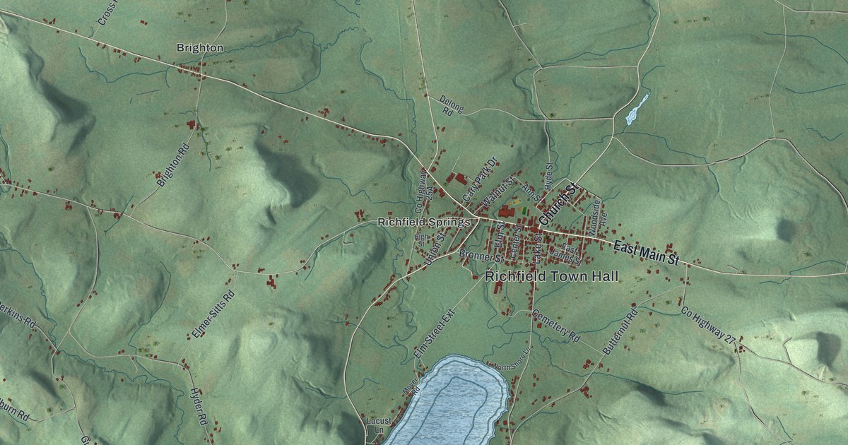
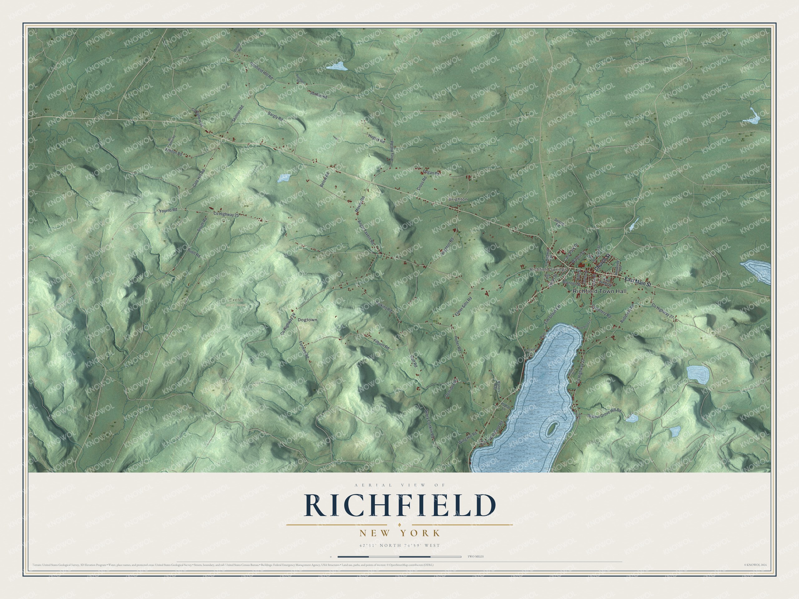
This beautifully detailed map of Richfield, New York was created in 2026 using aerial imagery combined with modern topographical, census, street and landmark data. It’s a one-of-a-kind view of Richfield that combines accurate data with a vintage aesthetic. The map shows every building in its true location, many of the roads carry their names, and the shaded topographic relief shows the shape of the land.
Explore an aerial view of Richfield, New York
On the map you’ll find Richfield Town Hall, Brighton, Dogtown, Richfield Springs, and Exeter State Forest, along with Church Street, Main Street, Yourno Road, Gulf Road, and more. If you look closely you can even find your house accurately drawn in its correct location. Zoom in on the preview to look for yours.
Did You Know?
Settlers lived here before the Revolution, but the war broke up their homes. New families arrived in 1787, and Richfield was formed from Otsego on April 10, 1792. By 1860 the town made about 500,000 pounds of cheese a year. That was more than double any other town in the county.
Take a closer look at the Richfield map
Names on this map
These names are printed on this map.
Places: Richfield Town Hall, Exeter State Forest, Brighton, Dogtown and Richfield Springs.
Streets and roads: Church Street, East Main Street, County Highway 25, Yourno Road, County Highway 22, Gulf Road, Richfield Hill Road, Elm Street Extension, Skinner Road, Fenton Road, Prey Hill Road, Angel Tavern Road.
More street names, A to Z
Ann Street, Bargly Road, Below Road, Brighton Road, Bronner Street, Buell Road, Butternut Road, Cary Park Drive, Cemetery Road, Center Street, Cole Hill Road, Cooks Road, County Highway 24, County Highway 27, County Highway 55, Cross Road, Delong Road, Depot Road, Domion Road, Dugan Road, East James Street, East Lake Road, Elmer Sitts Road, Elm Street, Filburn Road, Furman Road, Henry Conklin Road, High Street, Hillside Drive, Hugick Road, Hyder Road, Hyde Street, Jordan Road, Lake Street, Locust Lane, Mc Gintis Road, Mower Road, Moyer Road, North Shore Lane, Perkins Road, Poplar Lane, Prdr, Purchase Road, South Road, Union Street, Walnut Grove Hill Road, Walnut Street, Walters Way, Wing Hill Road, Woodland Road, Woodside Avenue.
See it on a wall
The Richfield map as a framed print. Swipe for more.


This beautifully detailed map of Richfield makes an attractive addition to your office, library, or den, and it can even be used to teach children the geography and history of the area. It also makes a great gift for someone who left Richfield and still calls it home. When you’re done exploring, click here to get your copy of the Richfield map.