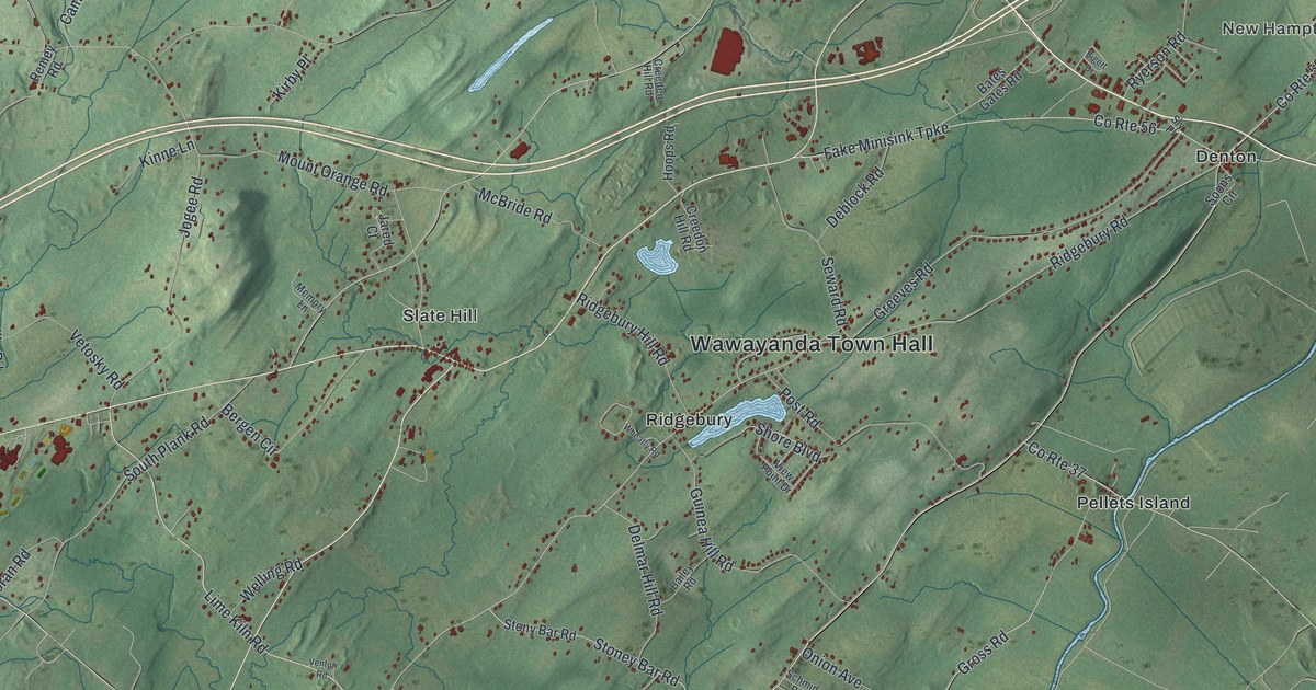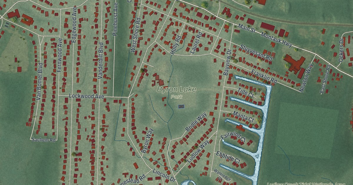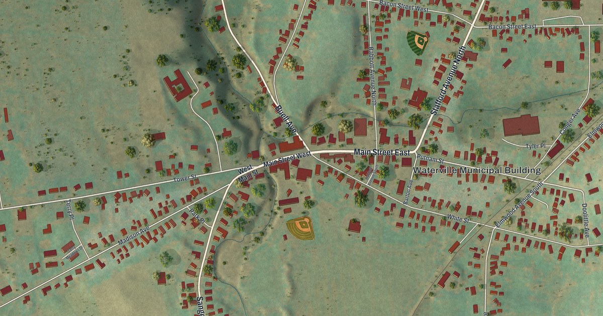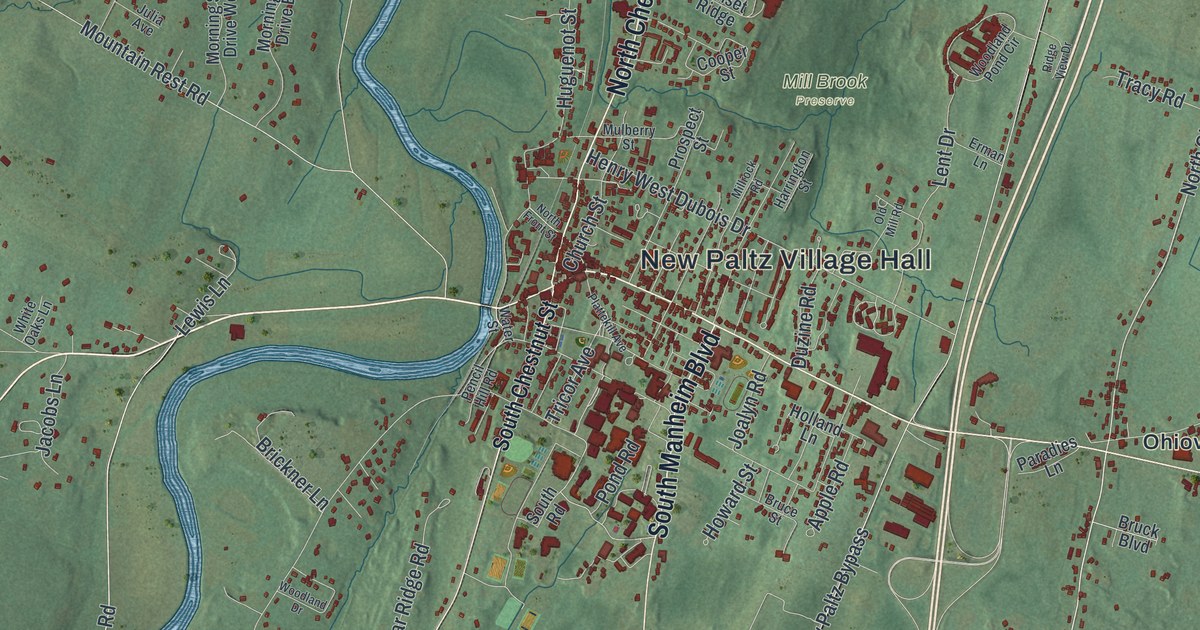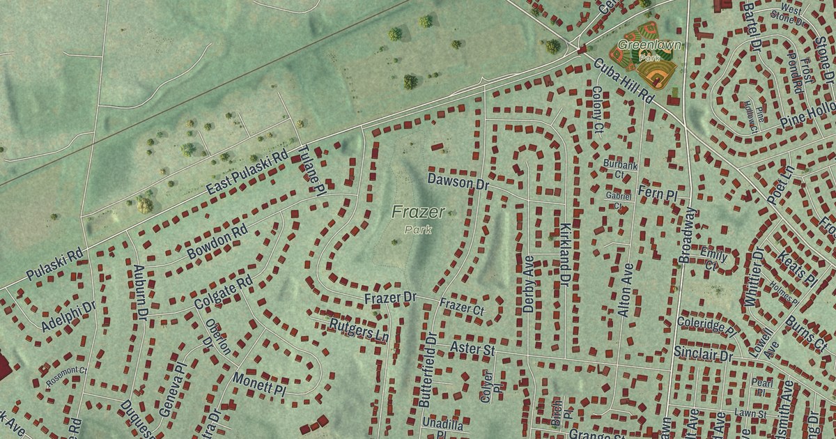
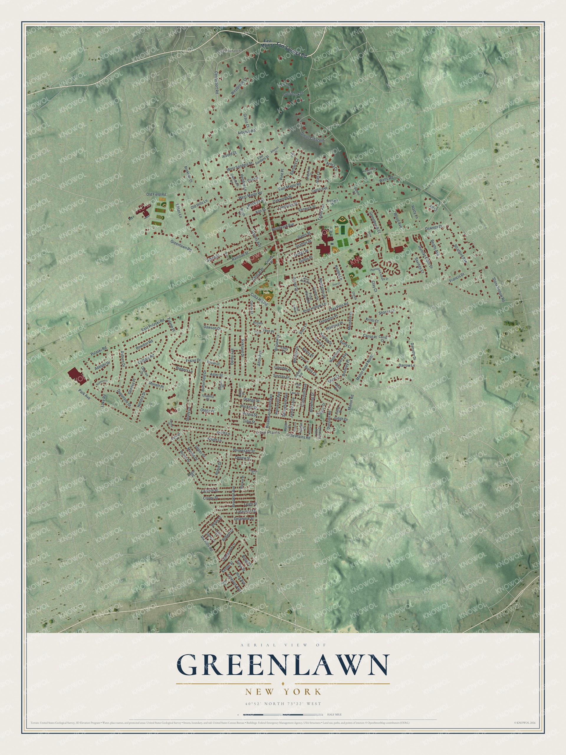
This beautifully detailed map of Greenlawn, New York was created in 2026 using aerial imagery combined with modern topographical, census, street and landmark data. It’s a one-of-a-kind view of Greenlawn that combines accurate data with a vintage aesthetic. The map shows every building in its true location, many of the roads carry their names, and the shaded topographic relief shows the shape of the land.
Explore an aerial view of Greenlawn, New York
On the map you’ll find Broadway Greenlawn, Centerport, Little Plains, and Frazer Park, along with Fort Salonga Road, Main Street, Cuba Hill Road, Centerport Road, and more. If you look closely you can even find your house accurately drawn in its correct location. Zoom in on the preview to look for yours.
Did You Know?
Greenlawn was once called Old Fields. It took its new name in 1871, when the Long Island Rail Road reached the area and picked Greenlawn for its station. In the 1800s the hamlet was well known for pickles. Samuel Ballton, who had escaped slavery, became known as the Pickle King.
Take a closer look at the Greenlawn map
Names on this map
These names are printed on this map.
Places: Centerport, Frazer Park, Greenlawn Park and Little Plains.
Streets and roads: Fort Salonga Road, Broadway, Broadway Greenlawn, Cuba Hill Road, Centerport Road, Ann Street, Pulaski Road, Stony Hollow Road, Park Avenue, East Pulaski Road, Clay Pitts Road, Little Plains Road.
More street names, A to Z
Adelphi Drive, Alton Avenue, Alvord Court, Arbutus Court, Arbutus Road, Arosa Court, Aspen Avenue, Aster Street, Auburn Drive, Barbara Court, Bartel Drive, Beatty Avenue, Birch Place, Boulevard Avenue, Bowdon Road, Brand Drive, Breen Place, Brinkman Court, Bristol Street, Bromley Place, Brooklyn Avenue, Browning Drive, Brush Lane, Burbank Court, Burns Court, Butterfield Drive, Canary Place, Carrol Court, Carrol Place, Central Place, Central Street, Chauser Drive, Cherub Court, Clay Court, Coleridge Place, Colgate Road, Colony Court, Colyer Place, Corbin Court, Croley Street, Cross Avenue, Danville Drive, Darrow Lane, Dawson Drive, Delamere Street, Depew Street, Derby Avenue, Dix Hills Road, Dohne Court, Dressler Road, Duffy Lane, Duncan Elder Drive, Duquesne Drive, Eagle Place, East Main Street, East Maple Road, East Sanders Street, Emily Court, Fenwick Street, Fern Place, Flamingo Lane, Francis Drive, Frazer Court, Frazer Drive, Frost Lane, Frost Pond Road, Furman Court, Gabriel Court, Gaines Avenue, Gates Street, Geneva Place, Glenn Crescent, Glenwood Lane, Goldsmith Avenue, Grace Court, Grafton Street, Grange Street, Greenbrush Court, Greenlawn Road, Griffin Place, Griggs Drive, Gwendale Lane, Gwen Place, Harborview Avenue, Hasty Lane, Hawthorne Court, Healy Street, Hendrie Lane, Hofstra Drive, Holmes Place, Hren Avenue, Irving Place, Jamaica Avenue, Jean Court, Jill Court, Judith Drive, Keats Place, Keeler Street, Kipling Drive, Kirkland Drive, Kristi Court, Lafayette Street, Lake Road, Lantern Street, Lawn Street, Lawrence Street, Legacy Court, Leigh Street, Linden Street, Linwood Avenue, Little Plains Court, Lowell Avenue, Manor Road, Manor Road North, Marlowe Place, Masefield Drive, Massey Court, Meredith Drive, Middle Drive, Monett Place, Naples Lane, Northgate Drive, North Lane, Oakwood Street, Oberlon Drive, Old Field Road, Old Hills Lane, Orchard Place, Oswego Drive, Otego Place, Overbrook Drive, Paumanack Village Drive, Pearl Place, Pine Hollow Court, Pine Hollow Lane, Pine Place, Poet Lane, Railroad Street, Rector Court, Ridley Court, Robert Drive, Robin Drive, Rockne Street, Roosevelt Avenue, Rosemont Court, Rose Place, Rutgers Lane, Savings Court, Sexton Court, Shady Lane, Sharon Lane, Shire Court, Shire Drive, Shrine Place, Sinclair Drive, Smith Street, South Lane, Springfield Avenue, Stanley Court, Stone Drive, Stratford Avenue, Stuyvesant Street, Suan Court, Tanglewood Court, Taylor Avenue, Tennyson Place, Tilden Lane, Tulane Place, Tulip Street, Tulsa Street, Unadilla Place, Upper Drive, Walwin Place, Wells Road, Westbrook Court, West Maple Road, West Sanders Street, West Stone Drive, Whittier Drive, Wood Avenue, Wyckoff Street.
See it on a wall
The Greenlawn map as a framed print. Swipe for more.


This beautifully detailed map of Greenlawn makes an attractive addition to your office, library, or den, and it can even be used to teach children the geography and history of the area. It also makes a great gift for someone who left Greenlawn and still calls it home. When you’re done exploring, click here to get your copy of the Greenlawn map.