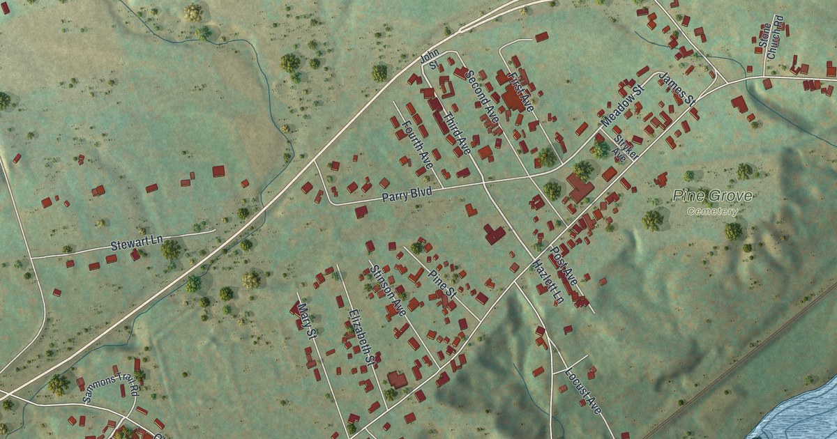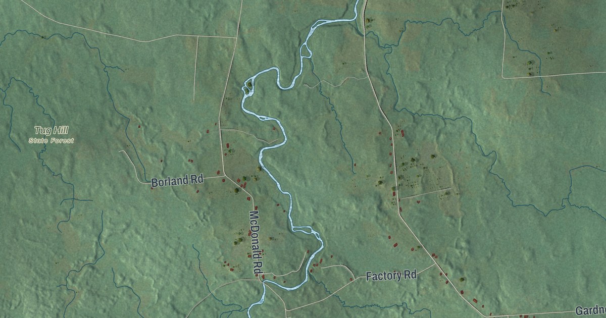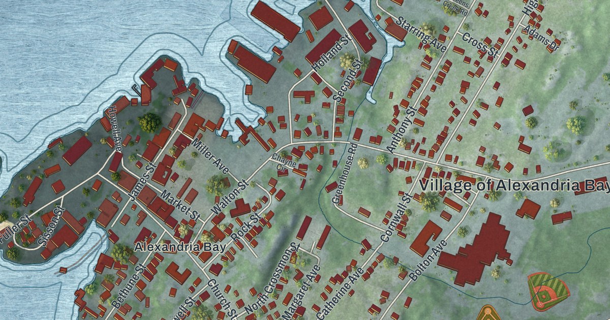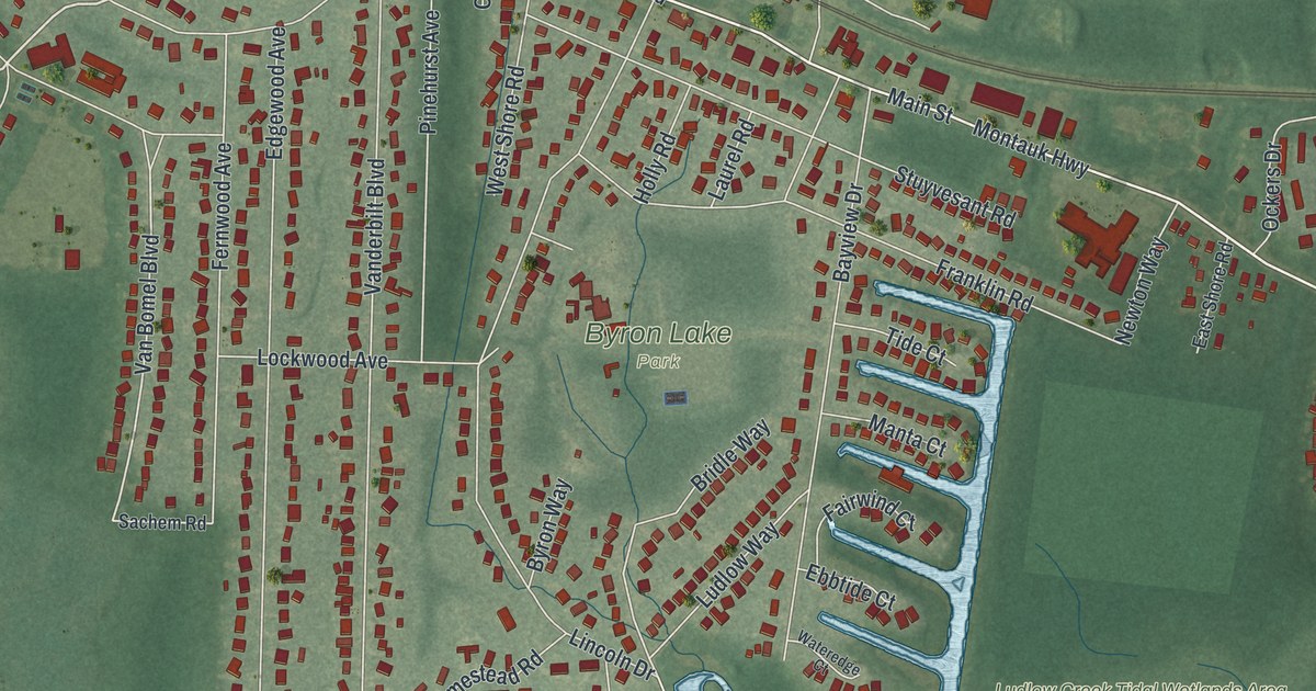
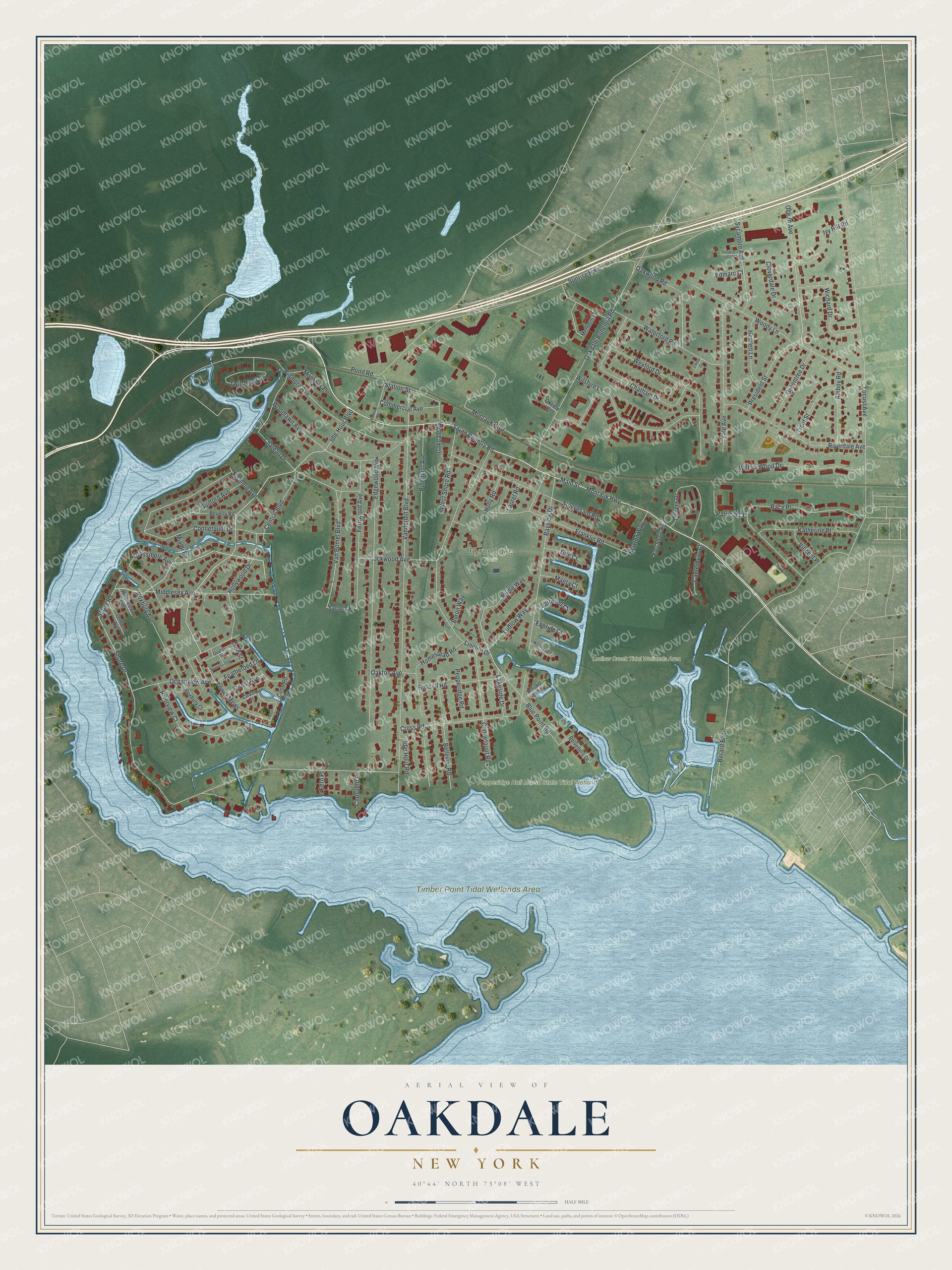
This beautifully detailed map of Oakdale, New York was created in 2026 using aerial imagery combined with modern topographical, census, street and landmark data. It’s a one-of-a-kind view of Oakdale that combines accurate data with a vintage aesthetic. The map shows every building in its true location, many of the roads carry their names, and the shaded topographic relief shows the shape of the land.
Explore an aerial view of Oakdale, New York
On the map you’ll find Tower Mews and Byron Lake Park, along with Montauk Highway, Country Road, Idle Hour Boulevard, Featherbed Lane, and more. If you look closely you can even find your house accurately drawn in its correct location. Zoom in on the preview to look for yours.
Did You Know?
Oakdale began with a tavern that Eliphalet Snedecor opened in 1820. His place drew rich New Yorkers who came to fish and hunt nearby. When the railroad arrived in 1866, those guests formed the South Side Sportsmen’s Club. Soon William K. Vanderbilt and other wealthy men built grand estates in the woods.
Take a closer look at the Oakdale map
Names on this map
These names are printed on this map.
Places: Byron Lake Park, Ludlow Creek Tidal Wetlands Area, Pepperidge Hall Marsh State Tidal Wetland and Timber Point Tidal Wetlands Area.
Streets and roads: Montauk Highway, South Country Road, Idle Hour Boulevard, Tower Mews, Featherbed Lane, Van Bomel Boulevard, Blue Point Road, Oceanview Avenue, Shore Road, Connetquot Drive, Lakeside Drive, Shore Drive.
More street names, A to Z
Amboy Road, Anisko Landing, Bayview Drive, Bellevue Road, Belvedere Drive, Berard Boulevard, Beverly Road, Biltmore Avenue, Bridle Way, Byron Way, Canal Road, Canterbury Court, Cedar Place, Central Boulevard, Chateau Drive, Chatham Drive, Chevy Court, Cloverdale Drive, Commercial Avenue, Connetquot Road, Consuelo Place, Cross Road, East Shore Road, Ebbtide Court, Edgewood Avenue, Edmarc Court, Elsmere Avenue, Fairwind Court, Fern Place, Fernwood Avenue, Forbes Street, Forest Avenue, Franklin Road, Grassmere Avenue, Greentree Drive, Guilford Avenue, Hewlett Lane, Holly Road, Hollywood Drive, Homestead Road, Idle Hour Road, Ivy Hill Road, Jade Street, Katherine Place, Laurel Road, Lincoln Drive, Lockwood Avenue, Locust Avenue, Ludlow Way, Main Street, Manta Court, Meredith Lane, Miami Road, Middlesex Avenue, Montauk Boulevard, Montauk Place, Newton Way, Oakdale Avenue, Oakdale Bohemia Road, Oakton Avenue, Oakwood Road, Ocean Avenue, Ockers Drive, Okeefe Court, Ormond Avenue, Patricia Court, Pepperidge Road, Pinehurst Avenue, Pond Road, President Street, Princess Gate, Quality Street, Race Place, Riverdale Avenue, Riverview Avenue, Riverview Court, Roxbury Avenue, Roxbury Court, Russell Road, Sachem Road, Station Street, Stuyvesant Road, Sunrise Highway, Sycamore Avenue, Tide Court, Trout Street, Twin River Drive, Vanderbilt Boulevard, Victoria Court, Vincent Place, Wateredge Court, Waterford Road, West Shore Road, Wexford Drive, Wichard Drive, Willow Wood Drive, Wilshire Lane, Woodlawn Avenue, Woody Lane, Yale Avenue.
See it on a wall
The Oakdale map as a framed print. Swipe for more.


This beautifully detailed map of Oakdale makes an attractive addition to your office, library, or den, and it can even be used to teach children the geography and history of the area. It also makes a great gift for anyone with Oakdale roots. When you’re done exploring, click here to get your copy of the Oakdale map.