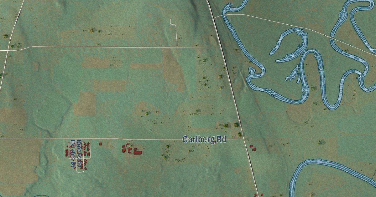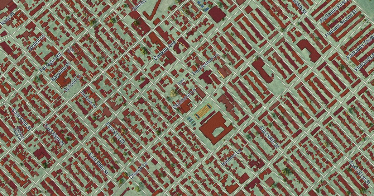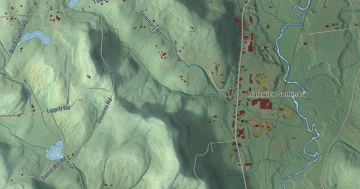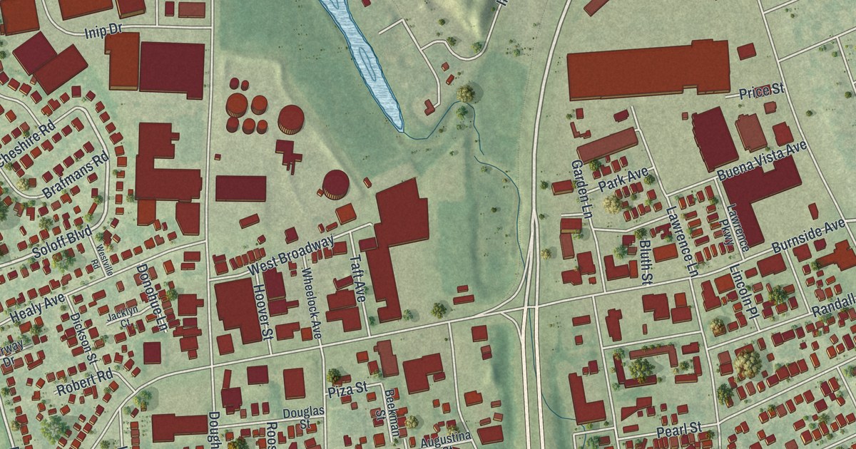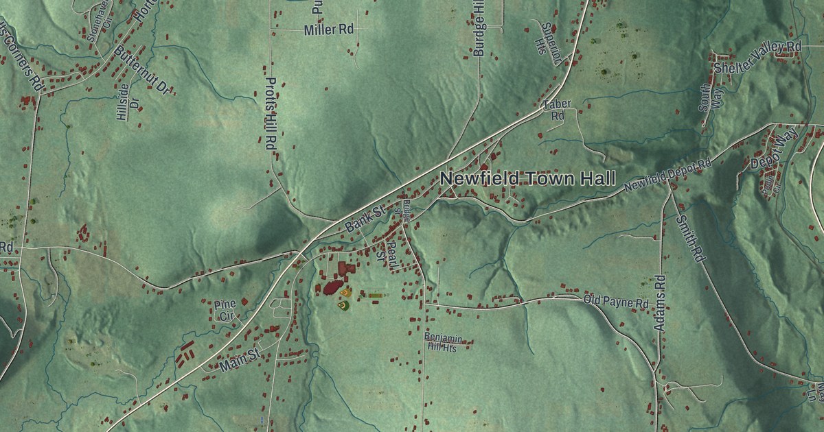
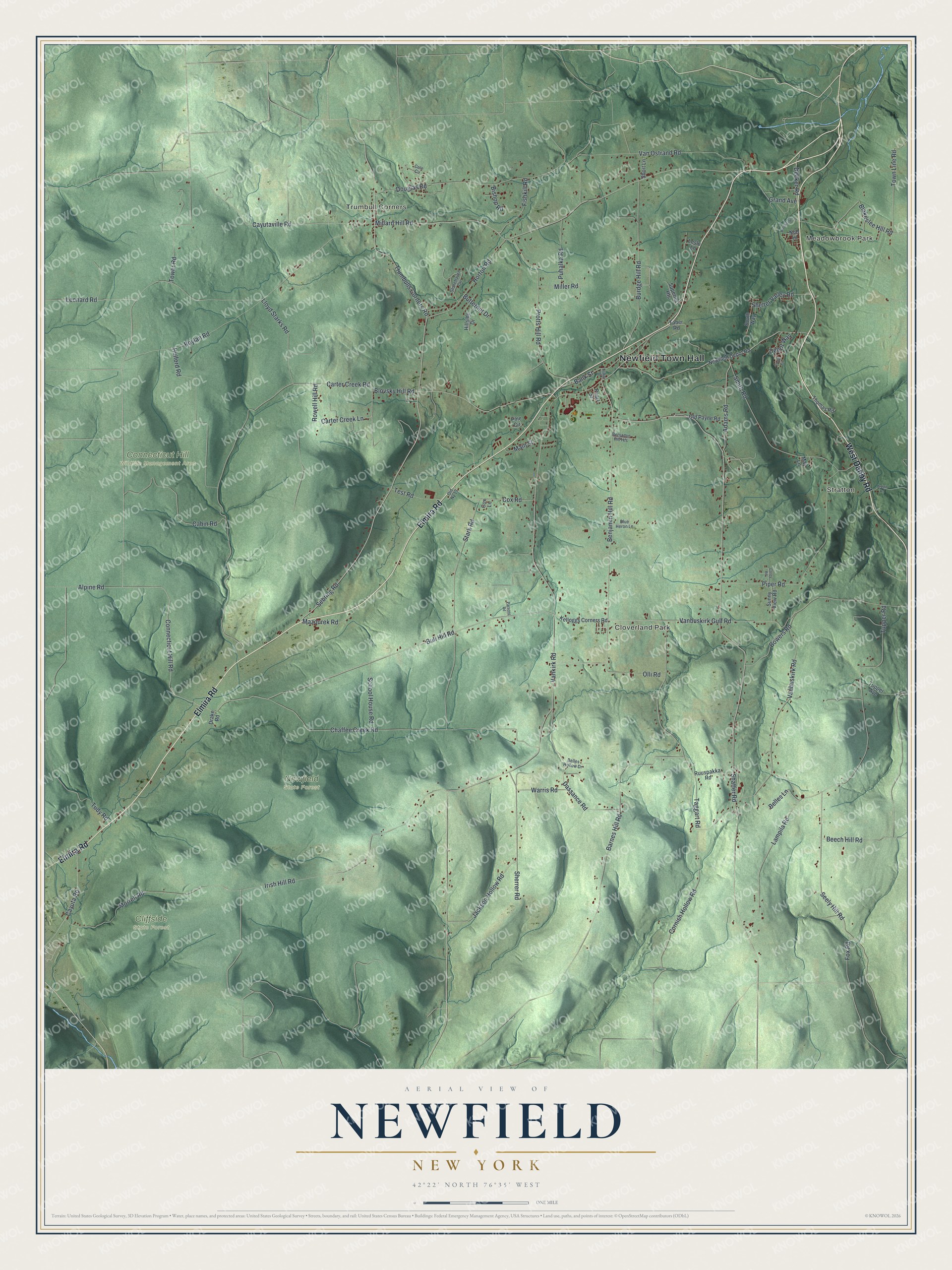
This beautifully detailed map of Newfield, New York was created in 2026 using aerial imagery combined with modern topographical, census, street and landmark data. It’s a one-of-a-kind view of Newfield that combines accurate data with a vintage aesthetic. The map shows every building in its true location, many of the roads carry their names, and the shaded topographic relief shows the shape of the land.
Explore an aerial view of Newfield, New York
On the map you’ll find Newfield Town Hall, Meadowbrook Park, Stratton, Trumbull Corners, Cloverland Park, Cliffside State Forest, and Connecticut Hill Wildlife Management Area, along with Elmira Road, Danby Road, Connecticut Hill Road, Leonard Road, and more. If you look closely you can even find your house accurately drawn in its correct location. Zoom in on the preview to look for yours.
Did You Know?
Newfield was formed in 1811 as the Town of Cayuta, before Tompkins County existed. In 1822 it took its present name. The name came from the many unoccupied tracts of land once found in the town.
Take a closer look at the Newfield map
Names on this map
These names are printed on this map.
Places: Newfield Town Hall, Meadowbrook Park, Stratton, Trumbull Corners, Cloverland Park, Cliffside State Forest, Connecticut Hill Wildlife Management Area and Newfield State Forest.
Streets and roads: Elmira Road, West Danby Road, Connecticut Hill Road, Leonard Road, Shaffer Road, Sebring Road, Trumbulls Corners Road, Bull Hill Road, Main Street, Cayutaville Road, Vankirk Road, Carter Creek Road.
More street names, A to Z
Adams Road, Alpine Road, Bank Street, Barnes Hill Road, Beech Hill Road, Belles Hollow Drive, Belles Lane, Benjamin Hill Heights, Benjamin Hill Road, Bishop Road, Blakeslee Hill Road, Blovsky Hill Road, Blue Heron Lane, Bowers Road, Boylan Road, Bridge Street, Brookside Lane, Brown Road, Burdge Hill Road, Butternut Drive, Cabin Road, Carter Creek Lane, Cayuta Road, Chaffee Creek Road, Cole Circle, Corey Road, Cornish Hollow Road, Cox Lane, Cox Road, Dassance Road, Decker Road, Depot Way, Douglas Road, Drake Road, Fishkill Road, Fox Road, Grand Avenue, Hillside Drive, Horton Road, Hulford Road, Irish Hill Road, Jackson Hollow Road, Kelloggs Corners Road, Lampila Road, Leslo Lane, Lloyd Starks Road, May Lane, Mazourek Road, Millard Hill Road, Miller Road, Morrell Road, Newfield Depot Road, Nob Hl, Old Ny 13, Old Payne Road, Olli Road, Parsons Road, Pearl Street, Pine Circle, Piper Road, Poole Circle, Protts Hill Road, Puhalka Road, Rowell Hill Road, Ruuspakka Road, School House Road, Seely Hill Road, Shelter Valley Road, Sherrer Road, Short Lane, Smith Road, South Way, Stark Road, Stonehaven Circle, Sunny View Road, Superior Heights, Taber Road, Taggart Road, Test Road, Thomas Road, Tower Road, Town Line Road, Tudy Road, Tupper Avenue, Tupper Road, Vanbuskirk Gulf Road, Vanbuskirk Road, Van Ostrand Road, Warris Road.
See it on a wall
The Newfield map as a framed print. Swipe for more.


This beautifully detailed map of Newfield makes an attractive addition to your office, library, or den, and it can even be used to teach children the geography and history of the area. It also makes a great gift for anyone with Newfield roots. When you’re done exploring, click here to get your copy of the Newfield map.