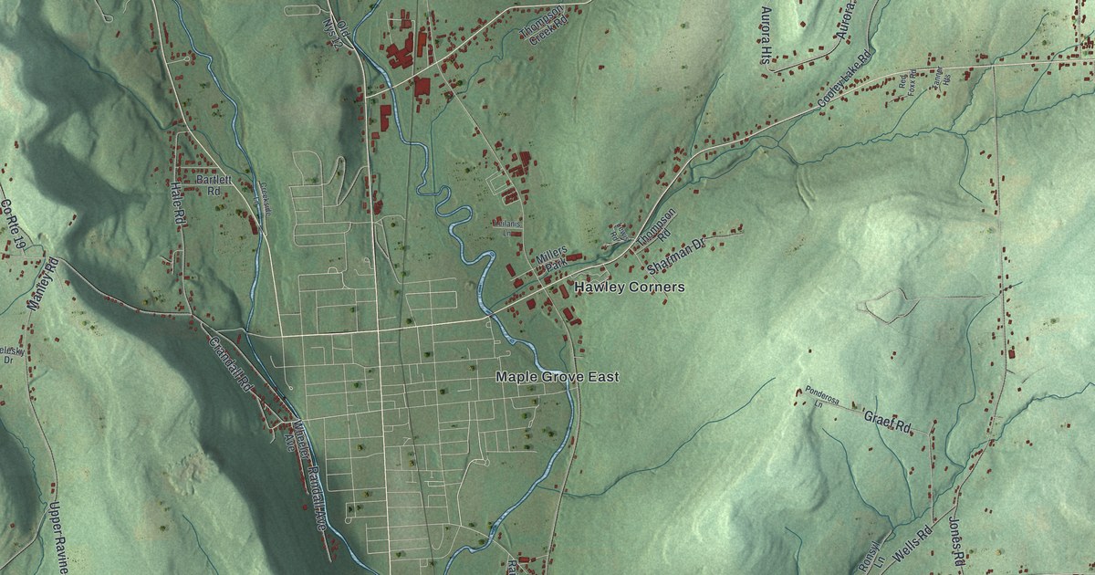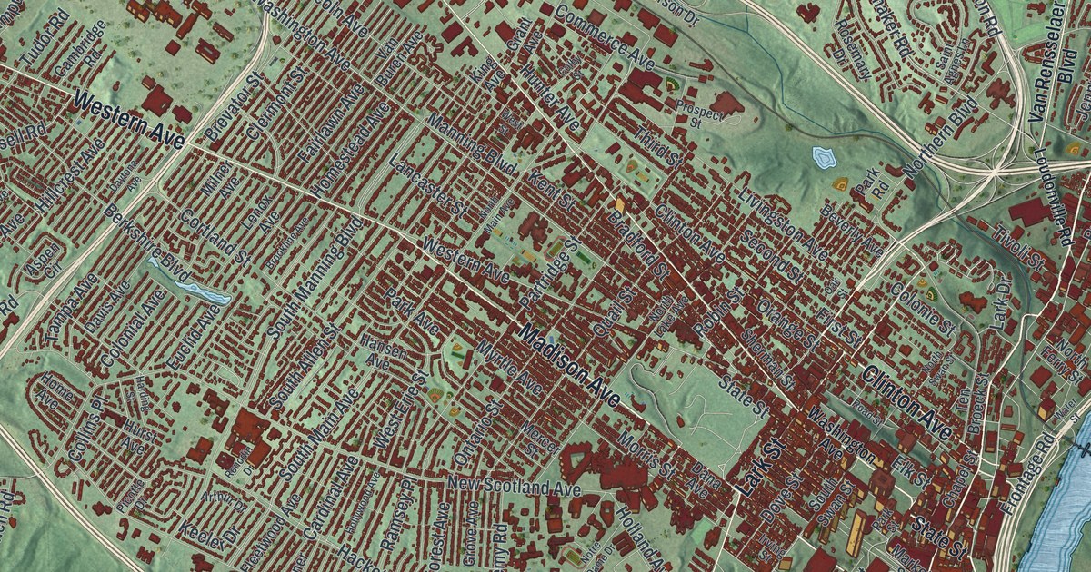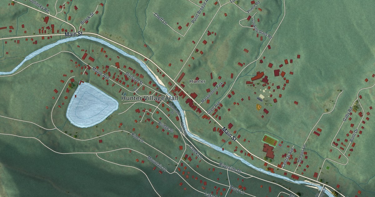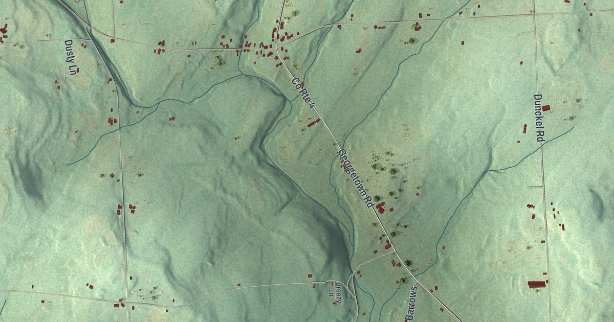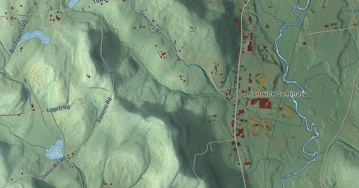
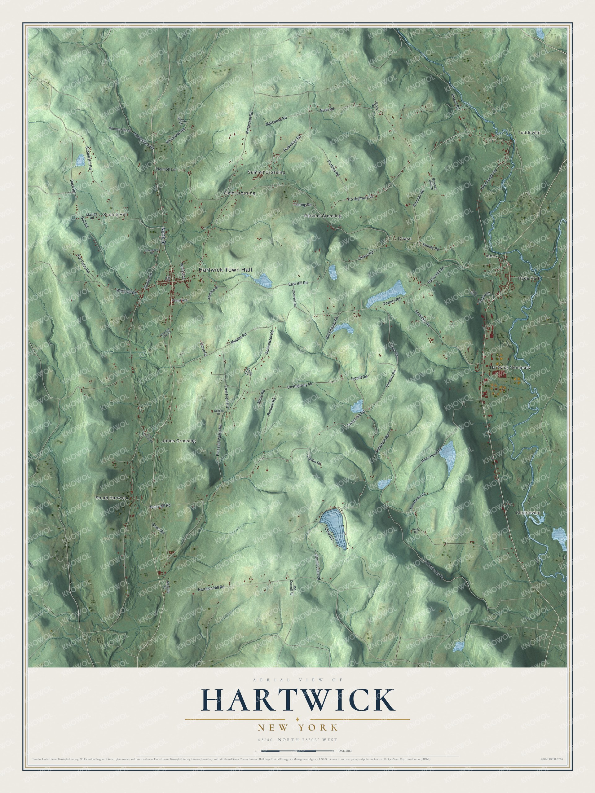
This beautifully detailed map of Hartwick, New York was created in 2026 using aerial imagery combined with modern topographical, census, street and landmark data. It’s a one-of-a-kind view of Hartwick that combines accurate data with a vintage aesthetic. The map shows every building in its true location, many of the roads carry their names, and the shaded topographic relief shows the shape of the land.
Explore an aerial view of Hartwick, New York
On the map you’ll find Hartwick Town Hall, Toddsville, Clintonville, Index, Scotch Hill, and Field Crossing, along with North Street, Burke Hill Road, Back Road, Todd Road, and more. If you look closely you can even find your house accurately drawn in its correct location. Zoom in on the preview to look for yours.
Did You Know?
The town is named for John Christopher Hartwick, a Lutheran minister. In 1763 he bought this land from the Mohawk, hoping to build a New Jerusalem. His will asked for a Lutheran seminary, though he left his estate to Jesus Christ. The seminary opened in 1797 and later joined Hartwick College.
Take a closer look at the Hartwick map
Names on this map
These names are printed on this map.
Places: Hartwick Town Hall, Toddsville, Clintonville, Index, Scotch Hill, Chase, Field Crossing, Hartwick Seminary, Hyde Park, Jones Crossing, Perkins Crossing, South Hartwick and Summit Crossing.
Streets and roads: North Street, Burke Hill Road, Back Road, Todd Road, Stevens Road, Sweet Hill Road, Towers Road, Scotch Hill Road, County Highway 45, Brunner Road, Wileytown Road, Greenough Road.
More street names, A to Z
Abandoned, Arnold Lake Road, Bill Powers Road, Bissell Road, Brunner Hollow, Bunn Hill Road, Burdick Road, Bush Road, Chase Road, Chlorinator Road, Conover Road, County Highway 59, Dobbs Hill, Dobbs Hill Road, Earls Road, East Hill Road, Eldred Road, Fred Field Road, Goey Pond Road, Grass Road, Gulf Road, Harrison Hill Road, Henly Road, Jarvis Road, Joe Cornell Road, Jones Crossing Road, Kallan Road, Kimball Road, Kinney Road, Lake Road, Lippitt Road, Lipton Road, Manley Road, Maples Road, Marlette Road, Mateunas Road, Moze Road, Nersesian Road, Perkins Road, Petkewec Road, Piermott Lane, Pleasant Valley Road, Poplar Avenue, Rod Gun Club Road, Sam Markle Road, Schidzick Road, Schweitzer Road, Seminary Road, Smith Road, Thering Road, Thompson Road, Toy Farm Road, Weeks Road, Wells Avenue, West Hill Road, Whalen Hill Road, Whitehouse Road.
See it on a wall
The Hartwick map as a framed print. Swipe for more.


This beautifully detailed map of Hartwick makes an attractive addition to your office, library, or den, and it can even be used to teach children the geography and history of the area. It also makes a great gift for anyone who grew up in Hartwick or moved away. When you’re done exploring, click here to get your copy of the Hartwick map.